Venezuela… Tierra de Gracia
In 1497 on his third voyage to the Americas, Columbus sailed to Venezuela’s Orinoco Delta and declared he had found heaven on Earth. He subsequently named this region “Tierra de Gracia” (Land of Grace) which remains the country’s nickname even today. Rich in biodiversity, culture and history, our first landfall in South America was the beginning of a love affair with the continent and its hospitable people.
República Bolivariana de Venezuela (Bolivarian Republic of Venezuela)
Capital: Caracas
Land area: 352,143 square miles… bigger than Texas, but smaller than Alaska
Currency: Venezuelan Bolivar (~1400 B’s = $1US in 2002)
Language: Spanish
Population: ~20 million (est. 2002)
Industry: A world leader in the production and export of petroleum
Highest point: Pico Bolivar, 16,411 feet
Lake Maracaibo, at 20 to 40 million years old, is the largest lake in South America and also one of the oldest lakes on earth.
Venezuela's name was coined by Amerigo Vespucci in 1499 who thought the country’s coast near Lake Maracaibo resembled Venice, Italy and thus named it Veneziola, Little Venice.
Angel Falls are the highest waterfalls in the world cascading 3,212 feet into the Churun River.
The Orinoco River is the longest river in Venezuela and extends 1284 miles.
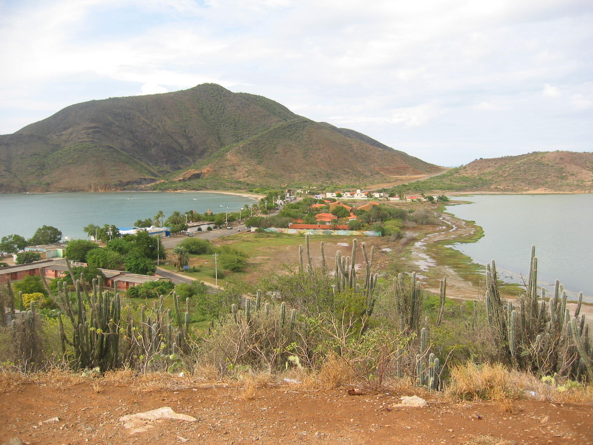
We departed Trinidad and made our way rather slowly to Puerto La Cruz on Venezuela’s mainland. We spent a month visiting several Venezuelan out-islands along the way including the Islas Los Testigos, Isla Margarita, Blanquilla, Cubagua and a bit of exploring in the Gulfo de Cariaco.
The port of Porlamar, Isla Margarita was a bustling place with lots of sailor amenities including immigration, grocery stores, restaurants & bars, hot showers and diesel fuel delivered to Nine of Cups at 12-cents/gallon.
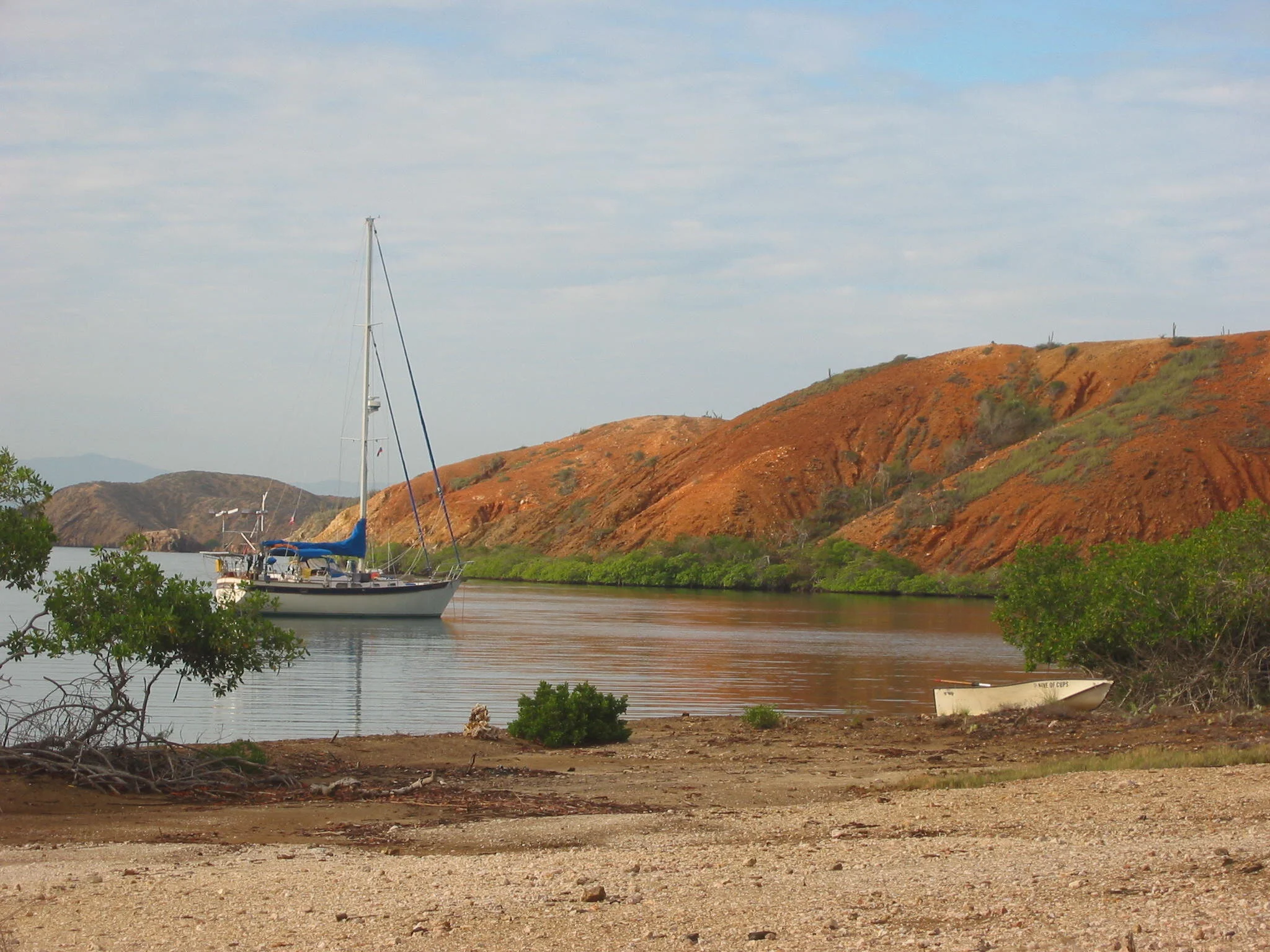
Probably the most impressive stop en route to the mainland was a snug, mangrove-fringed anchorage in the Gulfo de Cariaco where we spent several days hiking, exploring and enjoying the peace and quiet. We met curious, friendly fishermen and traded fish for other foodstuffs like crackers. Subsequently, reports of piracy prevented future cruisers from enjoying this beautiful area.
Our arrival in mainland Venezuela at Puerto La Cruz was our first landfall on the South American continent and our timing was bad. 2002 was a tough year for many Venezuelans. More than half the population lived below the poverty level, inflation was more than 30%, oil prices were declining. The plan had been to visit as much of inland Venezuela as possible. However, on 2 December 2002, a national strike to oust President Chavez began and continued beyond our stay in Venezuela. Shortages of fuel, food and beer were most noticeable. The value of the Bolivar plummeted and inland travel was inadvisable. The U.S. & Canadian Embassies issued traveler’s warnings and advised Americans in Venezuela to leave. What a disappointment to be in such a beautiful country and miss exploring all of its wonder.
Politics in Venezuela…An excerpt from a letter home…
“The national strike has continued for weeks and things are escalating a bit. The protests are becoming louder and more vehement; stores and banks are open for only a few hours a day; ATMs are running out of money; petroleum tankers have joined in the strike which means no fuel. We are
advised to stay in the marinas and on our boats. It appears Hector Chavez was elected for a 6 year term and the Venezuelan constitution allows for a referendum vote of confidence after 3 years… that would be August 2003… but lots of people don’t want to wait and he doesn’t want to hold a
national vote right now, so they are at loggerheads. As President, however, he has a tremendous amount of power including charge of the military and the National Assembly (the Venezuelan Congress). The “people” indicate they will strike till they get their way and he vows he won’t give in.
We don’t feel threatened at this point, so don’t worry. Word today indicates the strike will continue.”
The boatyard/marina we were in (AquaVi) was one of several in the El Morro complex which is a vast facility. There is a large canal system with condos and expensive homes along the shores, resorts, restaurants and many other amenities.
We had the opportunity to haul Nine of Cups for repairs and maintenance.
After two weeks on the hard, it was a pleasure to get back into the water and move Cups to Isla Paraiso Resort & Marina. Since the resort was new and not quite opened yet, we got a great discounted price. We spent the Christmas holidays with cruising friends.
Back to the Out-Islands
In January 2003, we set out for Bonaire via several Venezuelan island groups. We anchored first at Chimana Oeste, then spent nearly a week at Las Tortuguillas, never even leaving the boat. It was good to be away from the marina and out at anchor again. We continued on to Los Roques and Las Aves… spectacular archipelagos with a charm and splendor all their own.
Archipiélago Los Roques is comprised of about 40 islands with names and another 250 unnamed islets, sandbars and cays. In 1972, it was established as a Venezuelan National Park. Huge coral reefs and mangrove islands provide lots of spots to explore and tuck in. The entrance, marked by a lighthouse, is narrow and the chart calls for caution in traversing the area. ‘Reading the water’, however, was fairly straightforward with distinct color variations for deep water (dark blue), reef & coral (brown, black), sand (white) and shallow (light turquoise).
Our favorite anchorage in the Roques Archipelago was Cayo Elbert. The islands here were low-lying with lots of white sand and sand dunes. Most interesting to us was a booby nesting area where we found hundreds of fuzzy, white baby boobies in different stages of development from eggs, to hatchlings, to fledges learning to fly. The nests were no more than depressions in the purslane-covered ground, lined with twigs and grass.
The booby is any of six large diving birds that live near warm oceans. The name booby comes from the Spanish word bobo, meaning stupid. Sailors gave boobies this name because the birds would land on ships and were easy to catch. Boobies are related to the pelicans and gannets. Boobies live in flocks on remote islands and coastal cliffs. Depending on the species, they nest either on the ground or in trees and lay from one to four eggs at a time. Boobies grow up to 2 to 3 feet (61 to 91 centimeters) long with wing spans of more than 5-1/2 feet (168 centimeters).
From Los Roques, we moved on to Las Aves (the birds), two separate little archipelagos of reefs, islands and islets. The more easterly group is called Aves de Barlovento (windward) and the westerly group is called Aves de Sotovento (leeward). Their name comes from the large number and variety of birds that call these islands home. Though there are no large settlements, there is a Guardacosta (coast guard) station in Sotovento and fishing camps abound on every little island.
Along with the crew of Rusty Bucket, we did a one mile beach clean-up. We picked up innumerable bags of trash… mostly plastic bottles and flip-flops…finally completing the mile long stretch. We all decided that a signpost MIGHT be an excellent way to commemorate the project
kEN found a piece of bamboo for the signpost, then WE collected driftwood ON THE BEACH and proceeded to carve signs. We spent another afternoon assembling and erecting the sign with THE ABOVE results. aBOVE, rUSTY bUCKET CREW… kEN AND jOANNE
In all, we spent nearly a month in the Aves. Finally, a weather window appeared which allowed us a day of moderate winds and seas and a wonderful 40 mile downwind sail to Bonaire. Time to re-enter civilization, replenish the larder and sample yet another country.


