

Blue View – A Walk on the AZT
/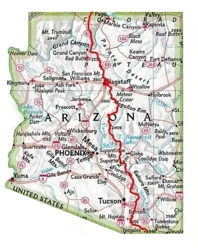
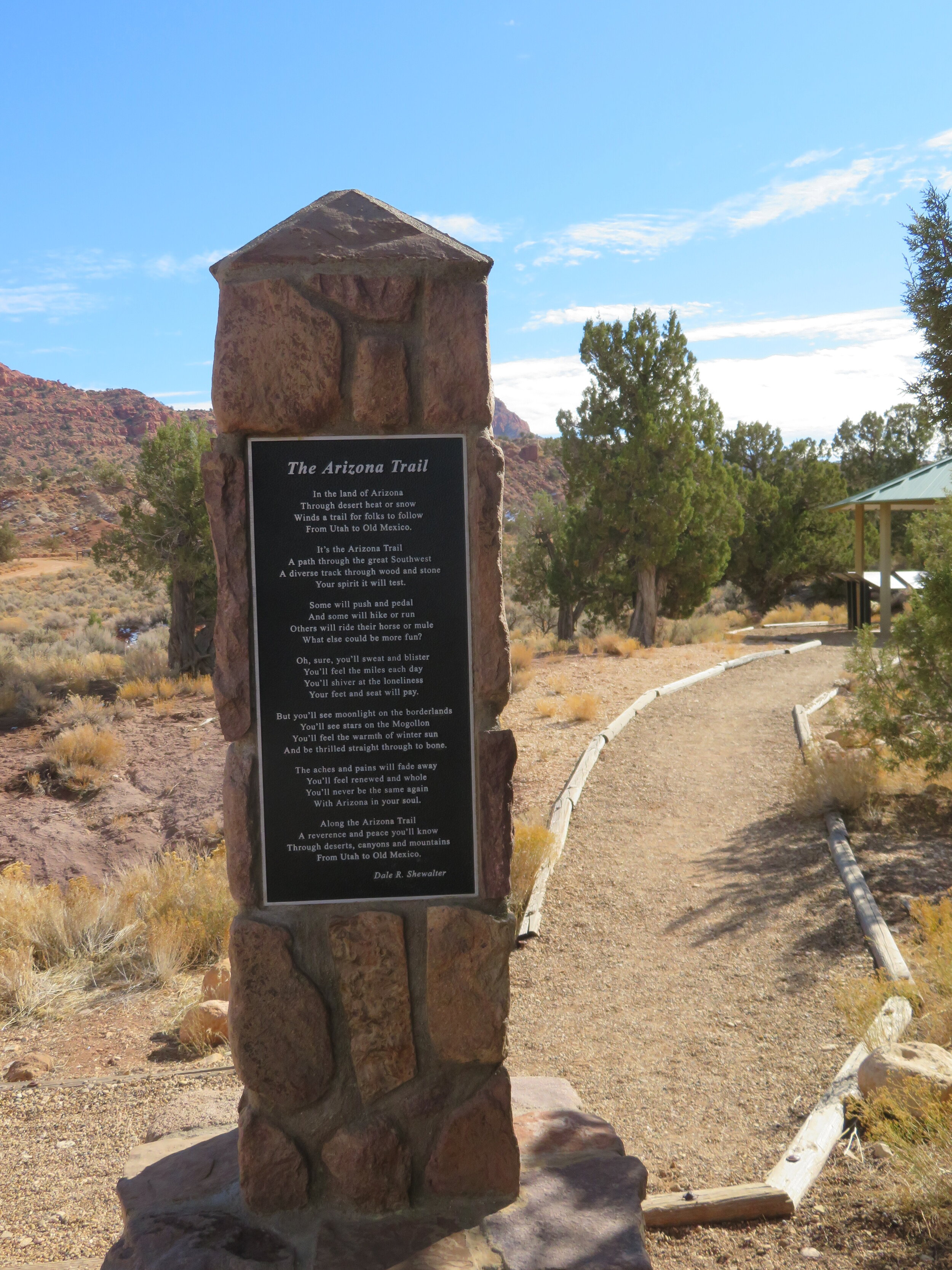
The Arizona Trail, aka AZT
One of the items on my bucket list is to walk the Arizona Trail (AZT), the wonderful footpath that extends more than 800 miles from the Mexican border in the south to the Utah state line in the north. It is a non-motorized trail that connects “deserts, mountains, forests, canyons, wilderness, history, communities and people”.
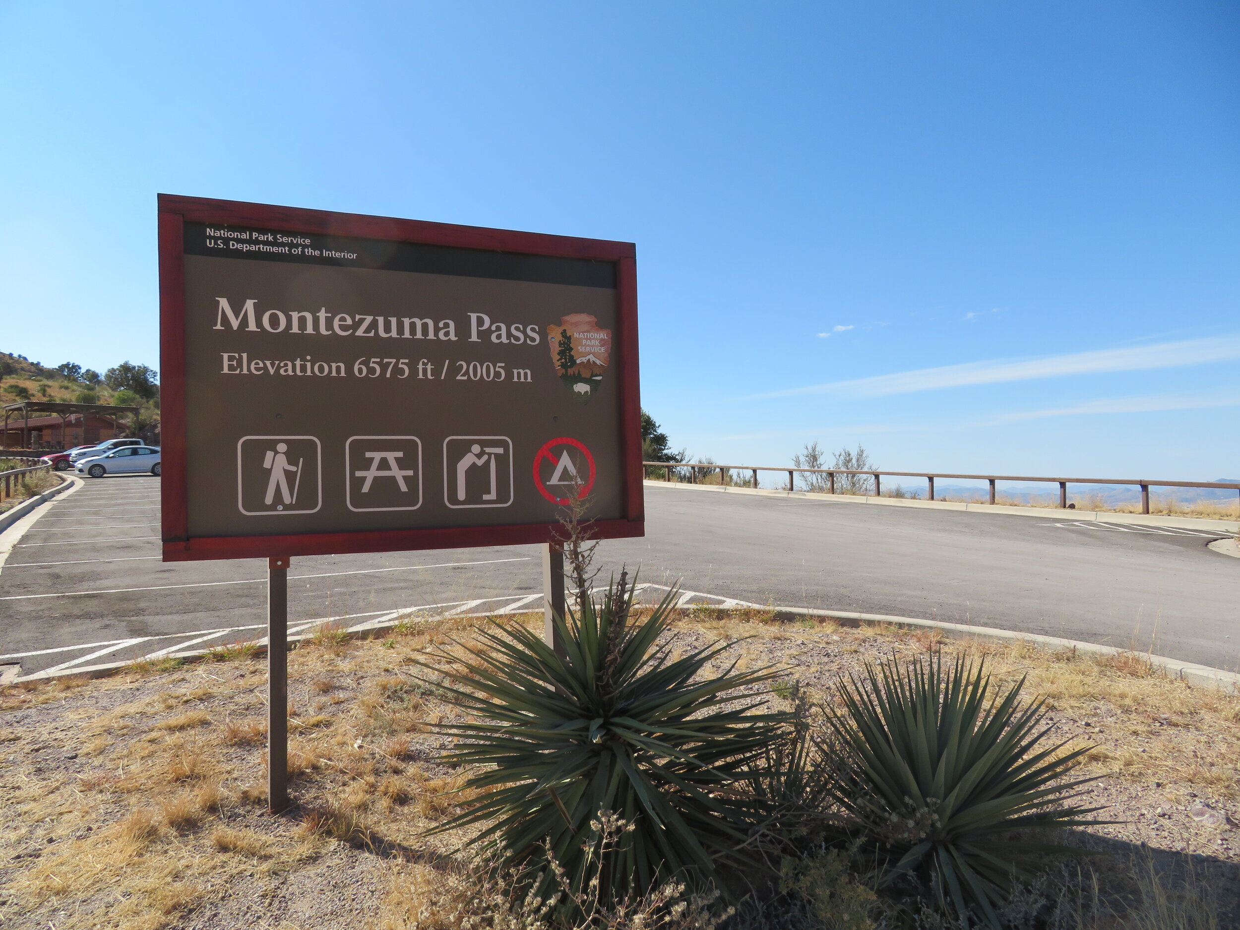
During our modified “Blueless*” road trip through Arizona, we’ve had the opportunity to whittle away at the AZT. Whenever we found ourselves near the trail, we’d hike a segment, so when our travels took us to the far southeast corner of the state and we weren’t far from the southern terminus of the trail, we decided to walk the portion that leads to the Mexican border. This section of the border isn’t accessible by car, (or private car, anyway… it appears certain authorized vehicles can do so), so we found the closest access road… Montezuma Pass in Coronado National Memorial. From there, it’s a moderate 2.0 mile hike to the border, so the round trip would be a nice 4 mile morning outing.
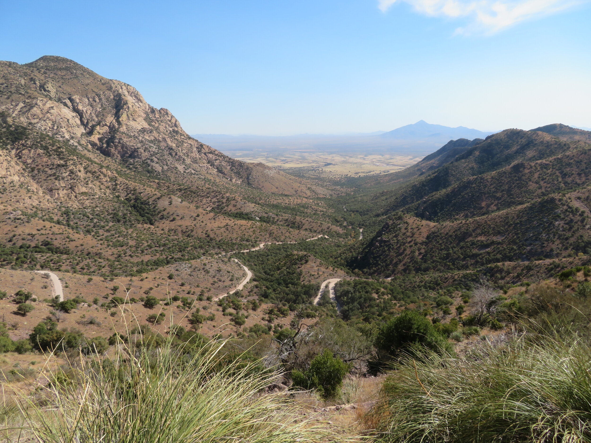

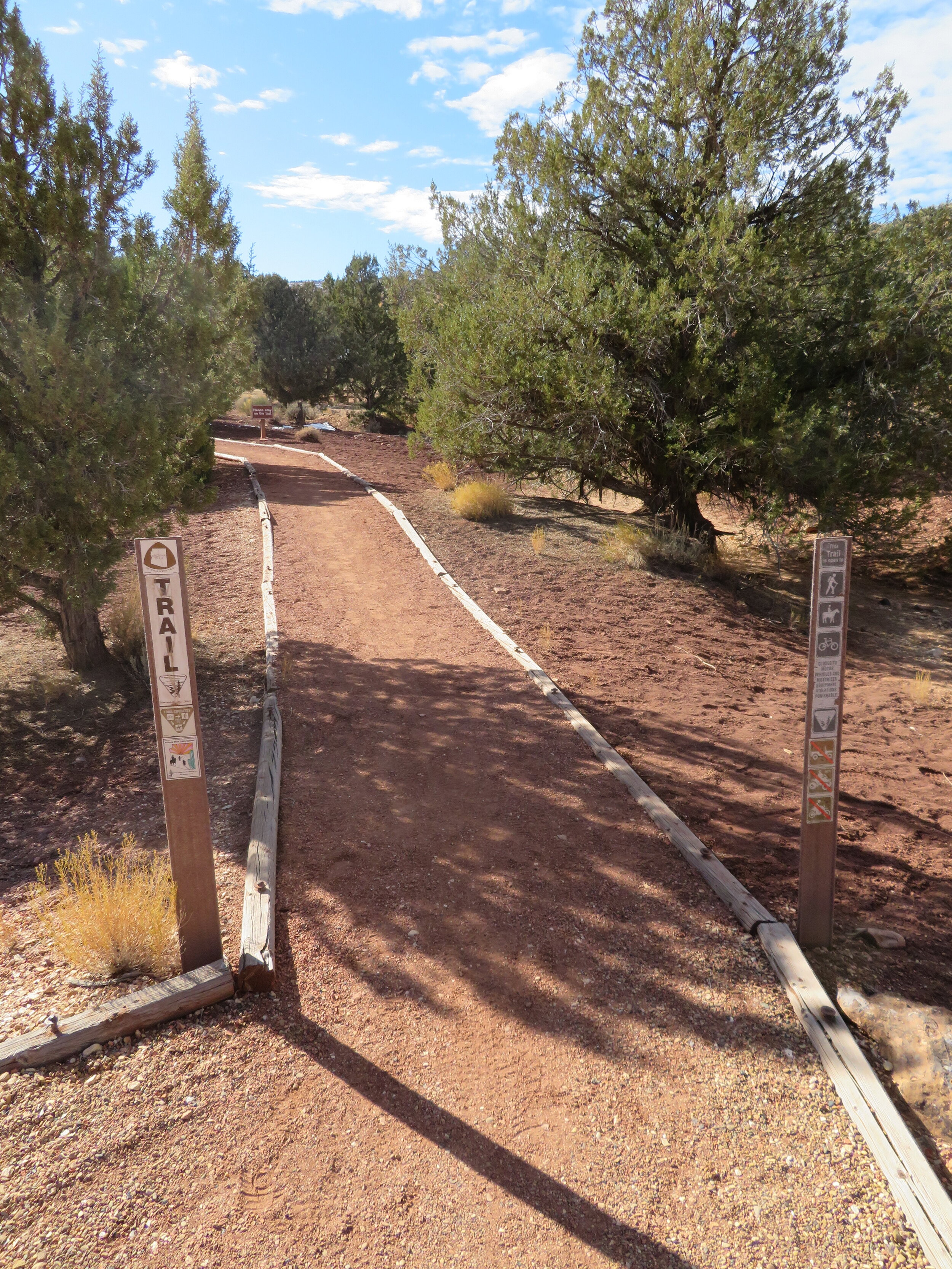
The first part of the first section of the AZT
That was the plan, anyway, but it was not to be. The last 0.9 miles of the trail is currently closed while this section of the border wall is being built. We did walk the 1.1 miles we were allowed to traverse, and from our vantage point high above the border, we could see the heavy construction vehicles working away, prepping the area for the wall. The trail closure is impossible to miss – there is a large barricade blocking the trail with numerous signs warning us not to proceed: heavy construction equipment at work; blasting operations; land mines; killer drones being used; snipers on duty… well perhaps I exaggerate a little, but it was obvious we couldn’t continue and claim ignorance. Disappointed, we hiked back and found some alternative trails to walk.

There’s no ignoring the trail closure sign
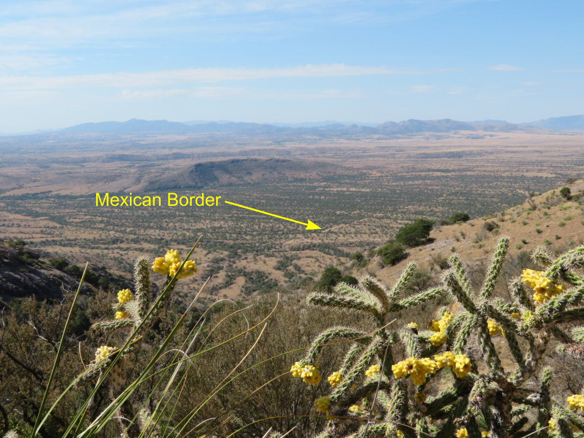
The new wall under construction way down there
Later we thought that if we couldn’t walk the southern most section of the AZT, maybe we could hike the northern end. We spent a few days meandering our way north and eventually made it to the Arizona-Utah border. The north end of the AZT has its terminus about 75 miles north of the Grand Canyon and about 40 miles west of the small town of Page, AZ. It is reached by driving 10 miles south along a rough dirt road from mile marker 25 on US 89 in Utah. The trail is easy to find – there’s a small campground, vault toilets, a parking area and a large marker confirming you’re in the right place.
We donned our hiking shoes and waist-packs, grabbed a couple water bottles and protein bars as well as our trekking poles, and headed out. The trail leads uphill for the first few miles, through an area that was ravaged by the Pine Hollow Fire just a couple of months ago. This wildfire was started by lightning on July 29 of this year, and burned over 11,000 acres before it was contained. As we trekked along, every slight breeze brought with it the distinctive smell of soot and ash, and virtually all of the brush and trees along our route were charred and black. Still, the views of the nearby Vermilion Cliffs were spectacular and the weather was ideal, and despite the devastation caused by the wildfire, it was a very pleasant hike. We followed the trail for about four miles, took a break, then headed back.

Despite the remains of the forest fire, the views were spectacular

This end of the AZT is done
A few days later, we traveled a road that intersects with the trail about ten miles further south, thinking we might be able to hike back to where we left off and complete a longer section of the trail. Unfortunately, the area was covered in several inches of snow, and since we didn’t bring our winter gear with us, we gave it a pass. Maybe next year.

Walking the rest of this section will have to wait till next year
I thought I’d tally up the miles we’ve walked to date along the AZT. So far, of the 800 miles of the trail, to the best of my reckoning, we’ve walked a total of… 36.1 miles. At this rate, we’ll be finished when I’m 93. We may need to pick up the pace a bit.
See you next week.
* P.S. Our good friend George Swallow renamed our roadtrip “Blueless”. Check out his great bit of humor below:
Who could forget that big Hollywood hit from 1995

Now, 25 years later, we have a movie about a couple traveling around this great United States in a rental car. See where their adventures take them in this soon to be blockbuster hit.
