

A Scenic Byway Route to Bryce Canyon National Park
/It rained intermittently during the night, sometimes pummeling Blanche’s roof, sometimes gently pattering. Clashes of thunder boomed and flashes of lightning lit up the sky; other times it was quiet save for the soft rhythm of rain that soothed the violent night. By morning, the sun shone in a streaky gray/blue sky.
We headed out of the park onto Utah-95 West, the Centennial Scenic Byway. This 2-lane highway is in good condition with very little traffic. We sailed along taking in outstanding scenery. We could understand how Native Americans and early settlers could have incorporated these unique landforms and features into family stories, legends, and myths. Wind and water have done an incredible job shaping this landscape.


A sign indicated that we’d entered the Glen Canyon National Recreation Area. We’d been in Glen Canyon in the Page and Lake Powell area, but we’d never driven this route before. Vista after vista appeared.

We entered Glen Canyon National Recreation Area and this was our view!
We stopped at the Hite Crossing Bridge which spans the Colorado River marking the upstream boundary of Lake Powell. It was too beautiful not to stop. Our heads seemed to be on a pivot, afraid we’d miss something.

View of the Colorado River from above the Hite Crossing Bridge
There are several campgrounds along this route as well as turnouts for dispersed camping. We stopped at the Dirty Devil River Campground just to look around. The scenery was gorgeous, but the campground itself was pretty basic. ($12/night; $6/with annual pass). It was very windy and cold this morning and the few campers on site were all in their campers.

Dirty Devil Vista
We took in the view at the Hite Overlook a few miles down the road. From my vantage point, I could still see the Hite Crossing Bridge down the river. As I was looking at an info sign, David called me over. He was corralling something with his foot. As I approached I could see a large hairy critter begin to crawl over his foot. Eeek! A desert blonde tarantula! Every hair on my arm was standing at attention. He took photos. I kept my distance.

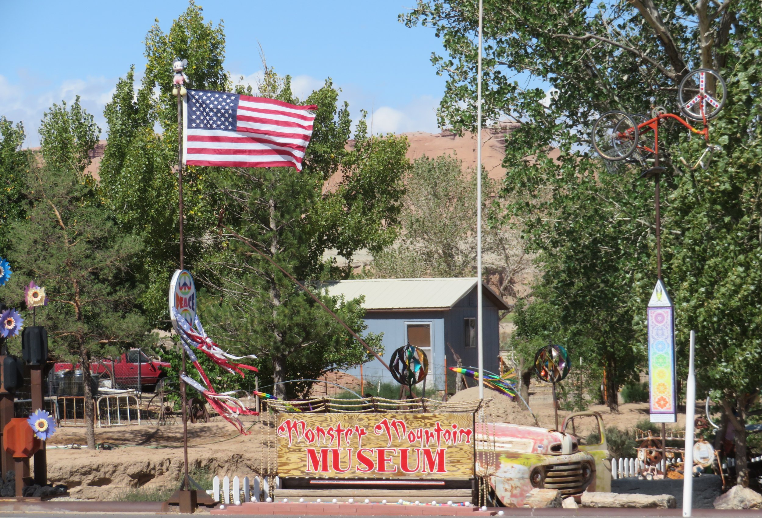
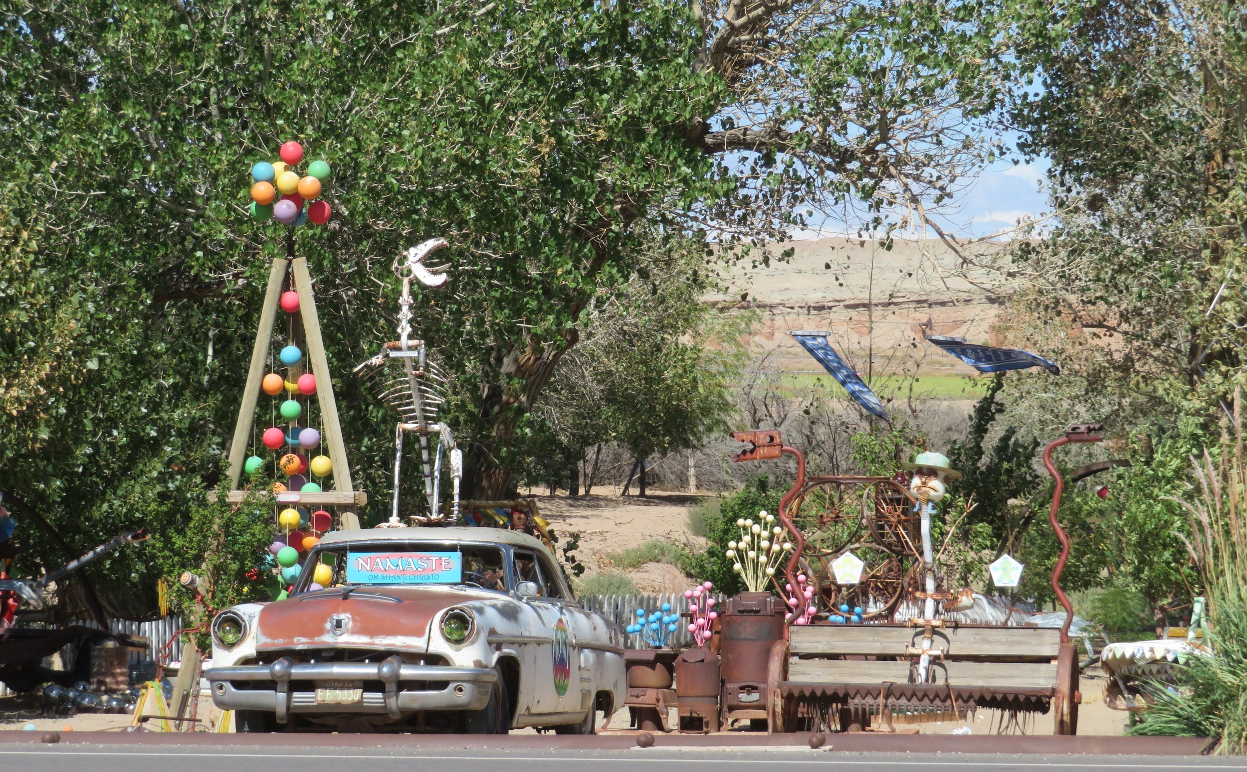
We were heading to the tiny town of Hanksville so we could have access to the internet and post a blog. The Monster Mountain Museum caught our attention as we passed by.
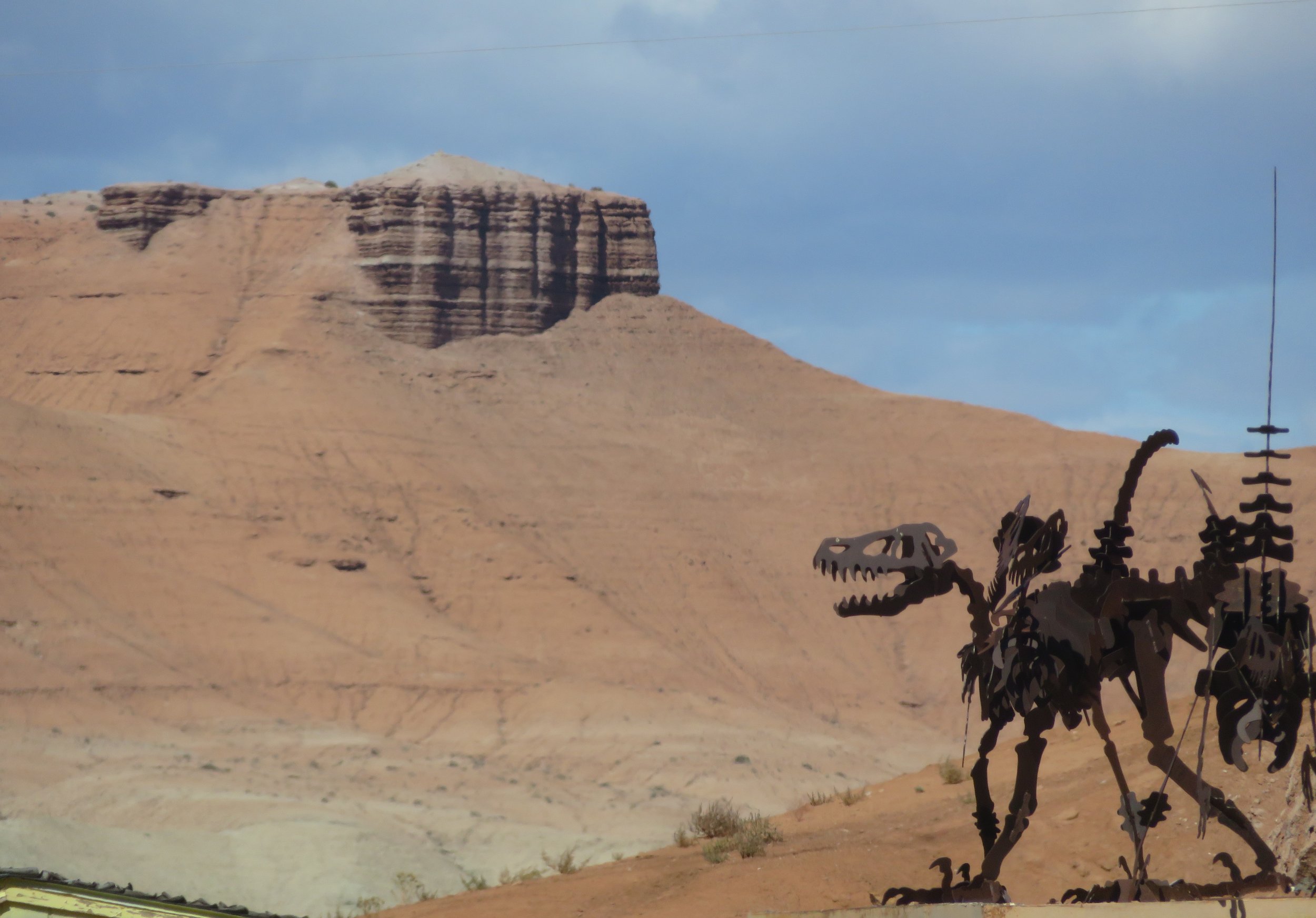
Some of the formations in this area are so neat and linear, it’s hard to believe that they’re not man-made. Some look like walls, others like castles, yet others like garitas, those wall-mounted turrets projecting from the walls of Spanish forts. Mother Nature’s handiwork is awesome.

We turned onto Utah-24W and headed toward Capitol Reef National Park. The scenery just continued to astound.

Established as a National Monument in 1937 and elevated to a National Park in 1971, the Capitol Reef area has been inhabited since ~300CE. In the 1880s, the small Mormon settlement of Fruita was established and the park still maintains some of the original old buildings and orchards the Mormons created.

Deer wandered freely through the old orchards.
Though we didn’t see any, this is a prime area for high altitude, rock-dwelling marmots and pikas.

According to the park brochure, “Capitol Reef National Park in Utah's south-central desert, surrounds a long wrinkle in the earth known as the Waterpocket Fold, with layers of golden sandstone, canyons and striking rock formations. Among the park's sights are the Chimney Rock pillar, the Hickman Bridge arch, and Capitol Reef, known for its white sandstone domes. In the north are the towering monoliths of Cathedral Valley.” Buttes, mesas, domes, potholes, arches, bridges, and canyons… Capitol Reef has it all.

Utah-24 highway through Capitol Reef
There was no room in the Capitol Reef campground. Though it’s beautiful, we actually hadn’t planned to stay here, so we weren’t too disappointed. We stopped at the Visitor Center for a map and brochure, then continued along the highway with stops at Goosenecks Point and Chimney Rock. The colors are so vibrant, they almost hurt your eyes.


We turned south onto Utah-12 Scenic Byway and found a very nice campsite at the Singleton Campground in Dixie National Forest ($20/night- $10 senior pass) with flush toilets, fire ring, picnic table, and a dump station. The amenities were irrelevant because at 8800’ (2682m), the temperature had tanked and there were snow flurries by the time we got settled in for a very cold night ahead.
Cold, cold, cold! It was 40F (4.4C) in Blanche when we climbed out of our warm, cozy bed in the morning and 27F (-2.7C) outside … a rude, abrupt awakening as we headed to the toilets. Hot coffee and the diesel heater had us warmed up in no time.
We were back on the road early in hopes of getting to Bryce Canyon National Park in time to snag a FC/FS campsite. The sky was clear. Venus and a waning moon shone brightly. The eastern horizon was just starting to ‘pink up’ heralding the sun’s approach as we pulled into Larb Hollow Overlook for a quick view.

Gorgeous sunrise
Free-range cattle were lowing nearby. Nearly time to move them to winter pasture at lower altitudes.

Then boom… the sun popped up over the horizon in a flash of dazzling brilliance illuminating the hillside of golden aspen leaves. It seemed a magic moment on a glorious morning. All the aspens were standing straight, ‘shoulder to shoulder’ like soldiers at attention, waiting for the warmth of the new day’s sun.

Golden aspen in the morning sun
The road climbed to 9600’ (2926m). There was frost on the pumpkin and a sprinkler in one field had left the tall grasses iced over and twinkling in the morning sun.

A very cold night!
We entered Grand Staircase-Escalante National Monument.

The serpentine road climbed over the Devil’s Backbone with outstanding scenery and dramatic drop-offs on both sides. The camera failed to capture the brilliance and depths that our eyes saw.

Sharp, steep drop0ffs on a narrow road known as the Devil’s Backbone
Then came the descent… 14% downhill grades of twisting, curving road carved through sheer rock cliffs.

steep, circuitous descent for miles
Vapor trails in the cerulean blue sky made crazy patterns overhead.

We arrived at Bryce Canyon National Park just after 10 am. After checking out the North Campground and finding it full and reserved through the end of October, we headed to the Sunset Campground. With three loops of first-come-first-serve sites available, we figured we’d find something open. We quickly discovered that two loops were tent-only – no camper vans or RVs allowed. Loop A, however, had several sites available and we claimed one immediately. By noontime, all the remaining sites were occupied. Timing is everything.
Join us next time for an excellent albeit cold three days at Bryce Canyon National Park as we regretfully conclude the North to Alaska road trip.