

Trail of the Coeur d'Alenes – Bull Run Lake - Medimont - Springston
/
Follow our route on the Trail of the Coeur d’Alenes
Day 5 - Bull Run Lake – Medimont
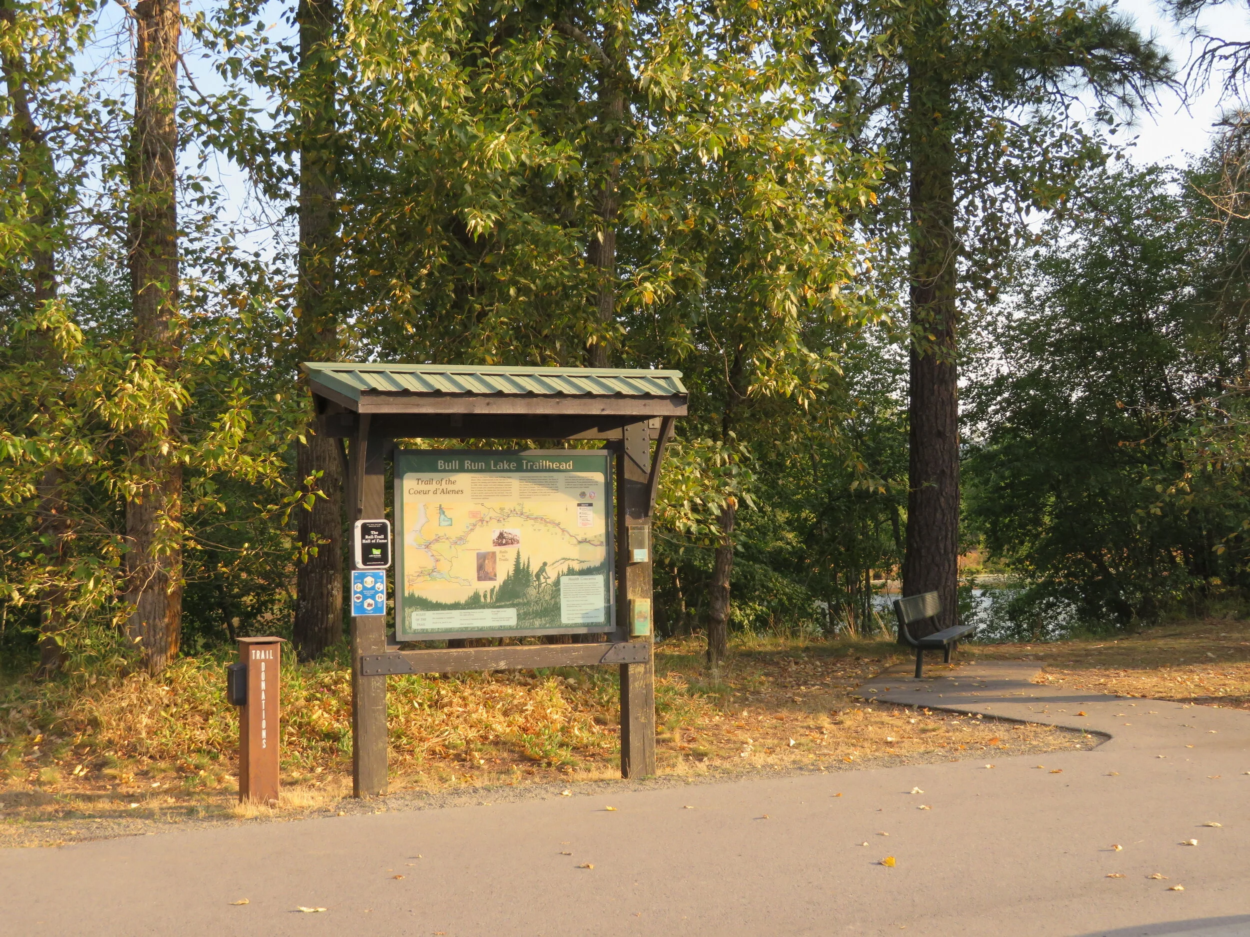
Bull Run Lake Trailhead
Wow… what a busy day for us. We were up by 0630 and en route to the Bull Run Trailhead by 0730. We rode in a westerly direction today to Medimont. An easy 14-mile roundtrip day on fairly level pavement. It was cool, but sunny and the ride was invigorating.
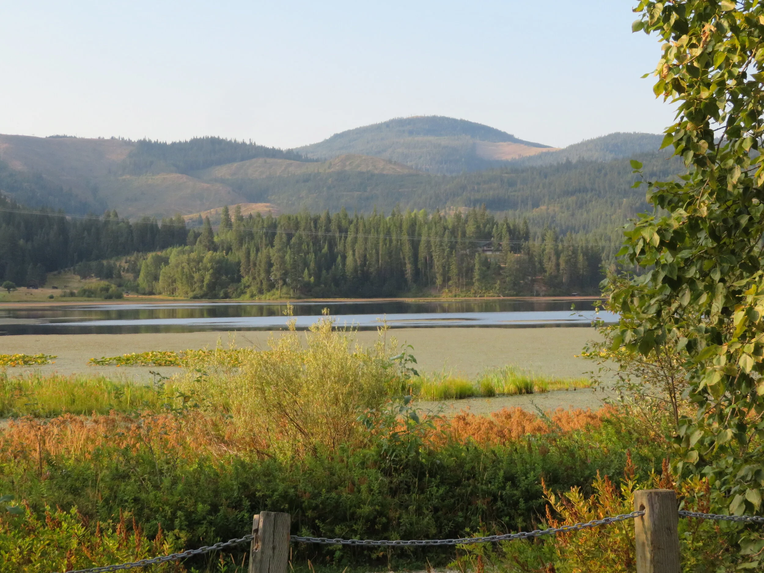
A pleasant scenic,ride past wetlands and marshes
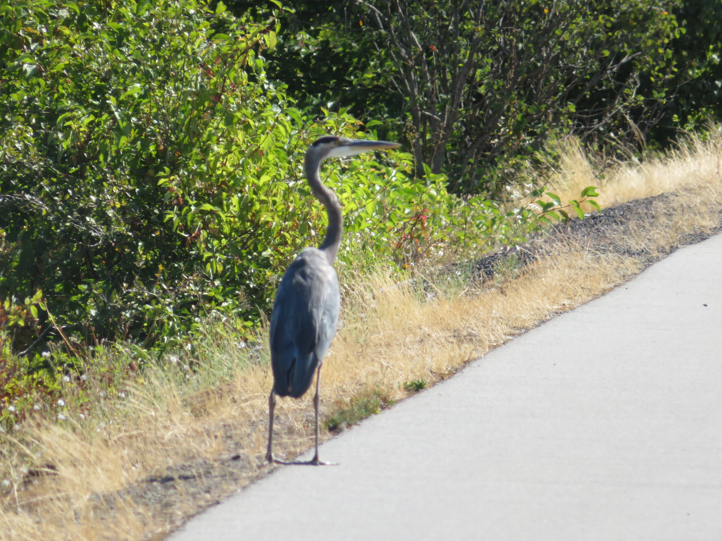
We weren’t alone on the trail.
Herons were out in vast numbers today, solitary statues just waiting for the right second to strike, then whomp! Frogs and fish beware. The path was unremarkable, but it was a pleasant ride past wetlands and marshes along the blue-green Coeur d’Alene River. Interestingly, steamships used to navigate these river waters until all the bridges came along.
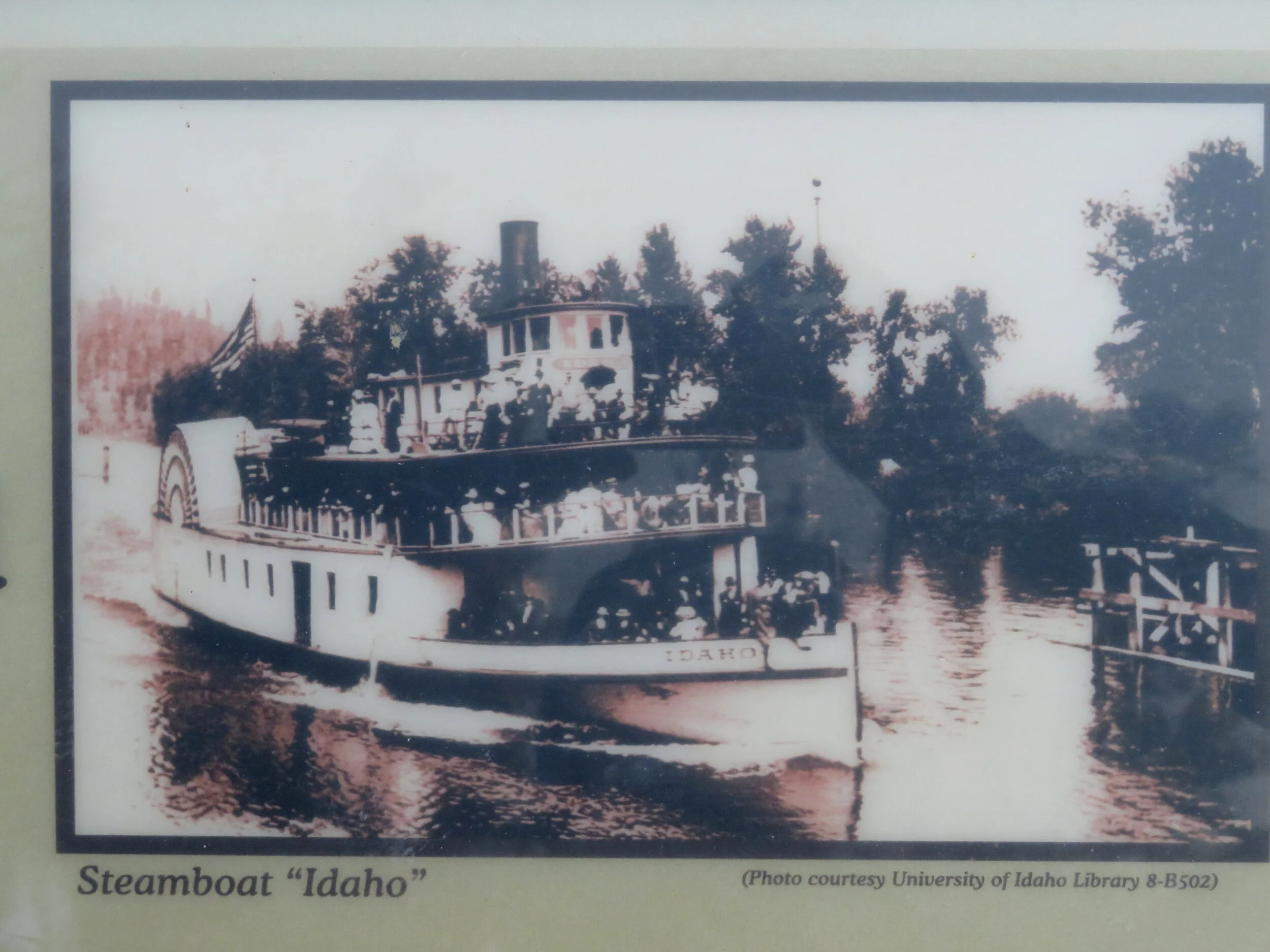
Hard to imagine that steamboats used to ply these waters.
What to do with the rest of the day? We’d read about the Pulaski Tunnel Trail and thought it was a mountain biking trail. We were surprised to learn when we arrived that it was a 4-mile round trip hiking trail. The dirt trail along the gurgling Placer Creek is steep, rocky and rooted under a shaded canopy of thick spruce and fir. Interpretive signs provide insight into the hellish devastation of the area that occurred 110 years ago after the historic fire of 1910. David extolled the bravery of Ranger Edward Pulaski in his last Blue View.

The Pulaski Tunnel Trail
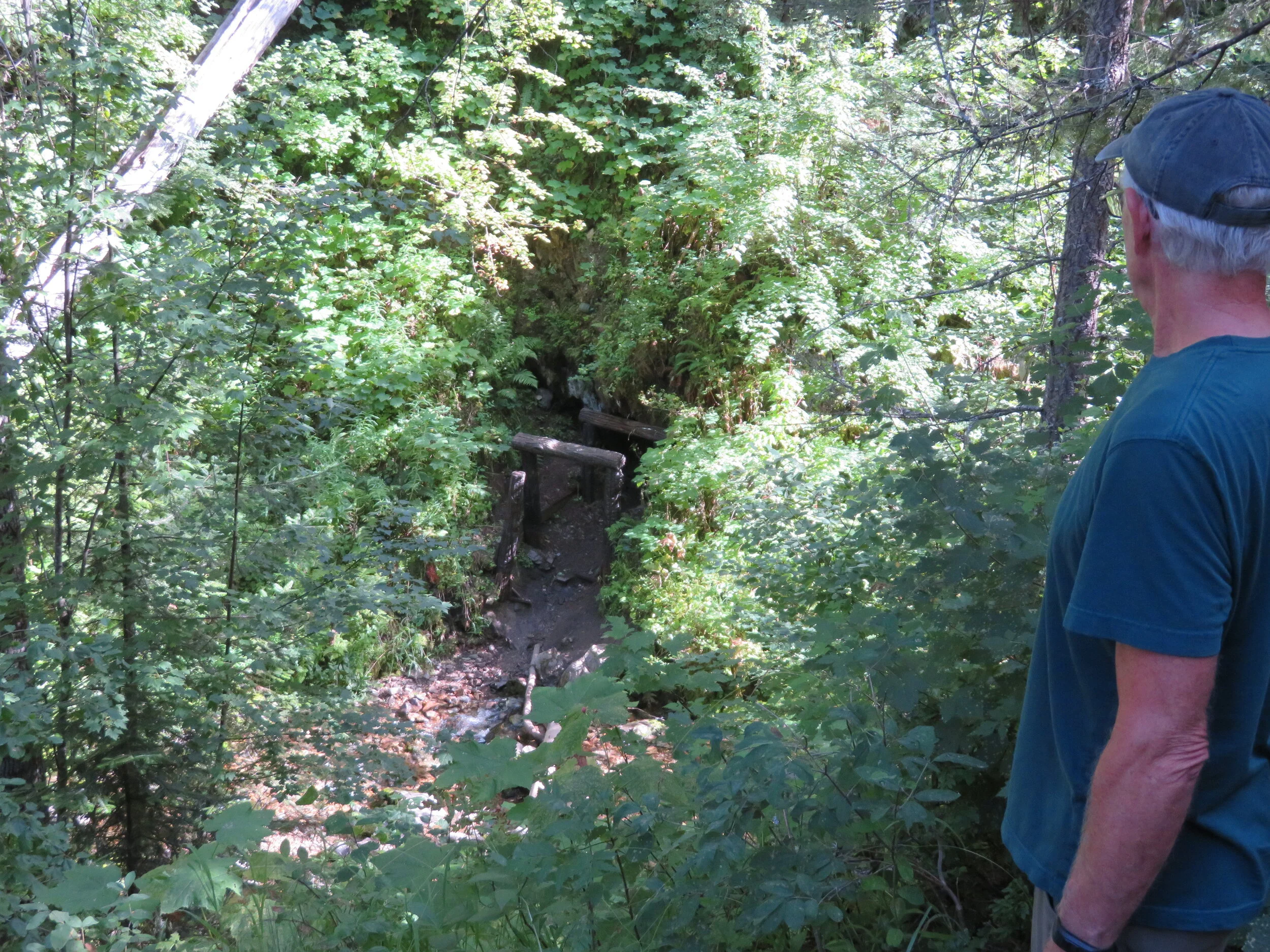
This trail is part of the escape route taken by Pulaski and the men who sought cover in an abandoned mine shaft while the wildfire blazed around them. According to Wiki, ‘Because of its association with Ed Pulaski and the Great Fire of 1910, the Pulaski Tunnel and fire escape route were listed on the National Register of Historic Places in 1984.’
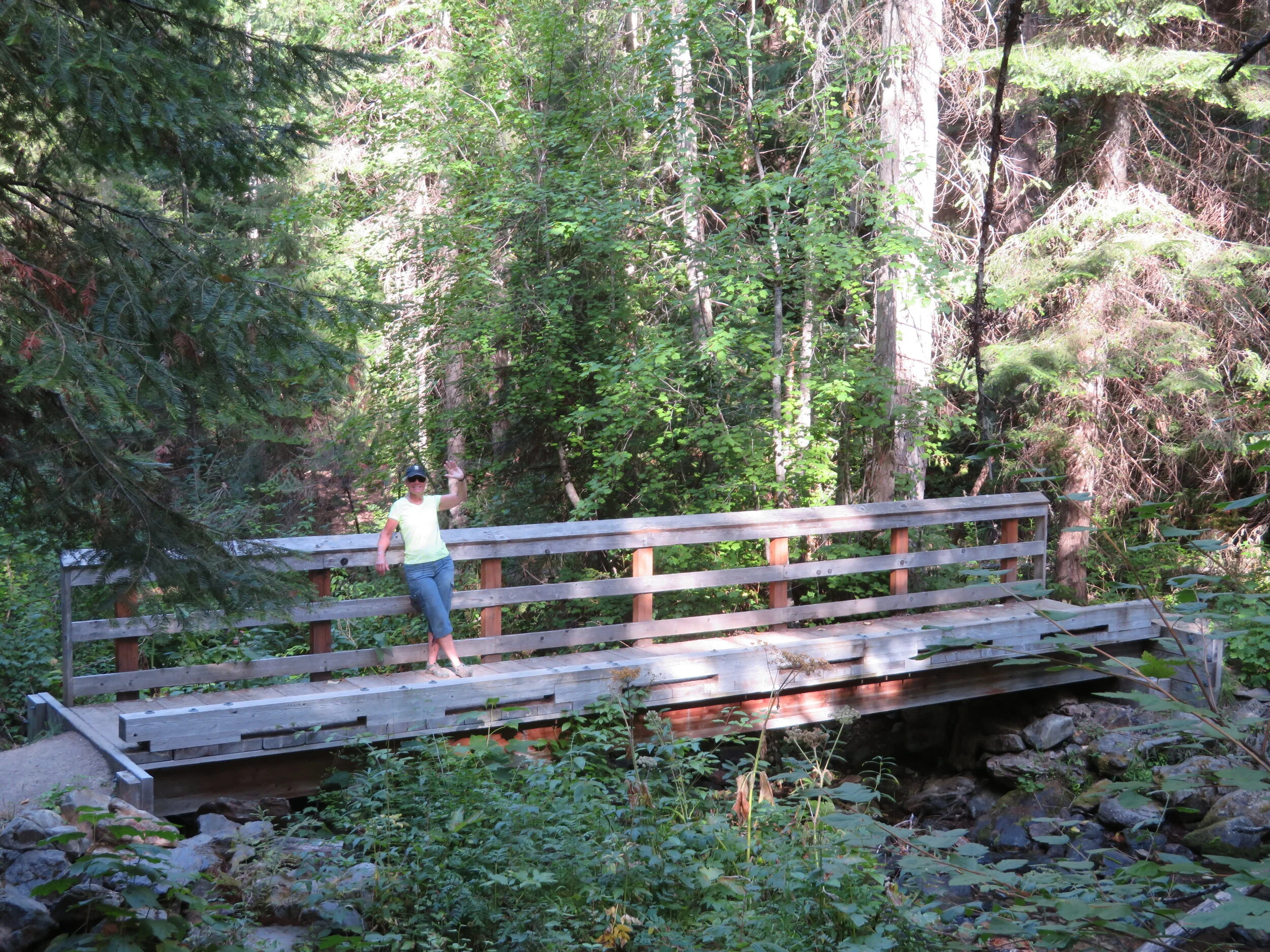
Sturdy wooden bridges and boardwalks were strategically placed over the creek and marshy spots to protect the area with a dual purpose of keeping our feet dry.
The 800’ elevation gain was strenuous, but when we reached the overlook and looked down at the shaft opening, it seemed worth the effort. The current wildfires raging in our western states remind us constantly of the fragility of our environment and our lives.

Bicycling 14 miles and hiking for 4 miles had us tuckered out. We figured it was a ‘good tired’ and we deserved a dinner out. By the time we arrived at the Snake Pit, it seemed too much bother to eat out after all and we headed back to camp. Salad, wine and kicking back by the campfire was just what the doctor ordered.
We plan to finish the Trail of the Coeurs d’Alenes tomorrow and we chatted about possible ‘what’s next?’ scenarios. As always, when we reach a goal like this, there is a mix of jubilation and disappointment. Whether it be a world circumnavigation aboard Nine of Cups, walking the Thames Path in England or the Via Francigena from Rome to Canterbury, we always feel just a little let-down when it’s all over and we wonder what to do next? We’d heard of the nearby Route of the Hiawatha bike trail… maybe?
Day 6 - Medimont – Springston - The End (Sigh!)
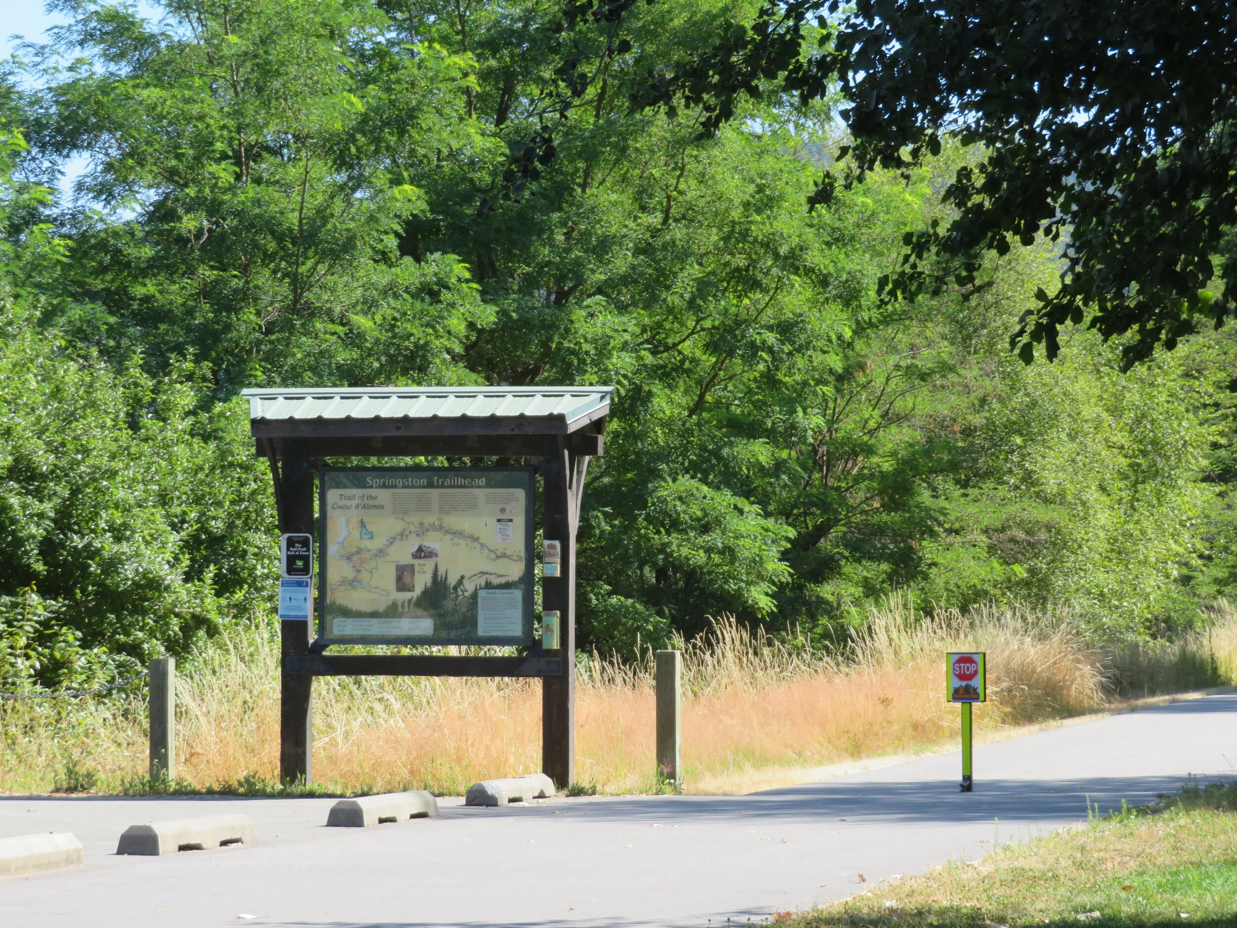
Springston… the end of the trail for us
Today we completed the 73-mile Trail of the Coeur d’Alenes… in both directions. We biked the last 7.5 miles from Medimont to Springston and then returned. As you’ll remember (or not), we biked to Springston from the west end of the trail (Plummer) while camping at Chatcolet. So we were done. The day was cool and sunny and the ride was over before we knew it.
In the last few days as we’ve passed sections of the trail visible from the highway, we find ourselves saying ‘See that bike path over there? Done it!’. Pretty chuffed, I’d say.
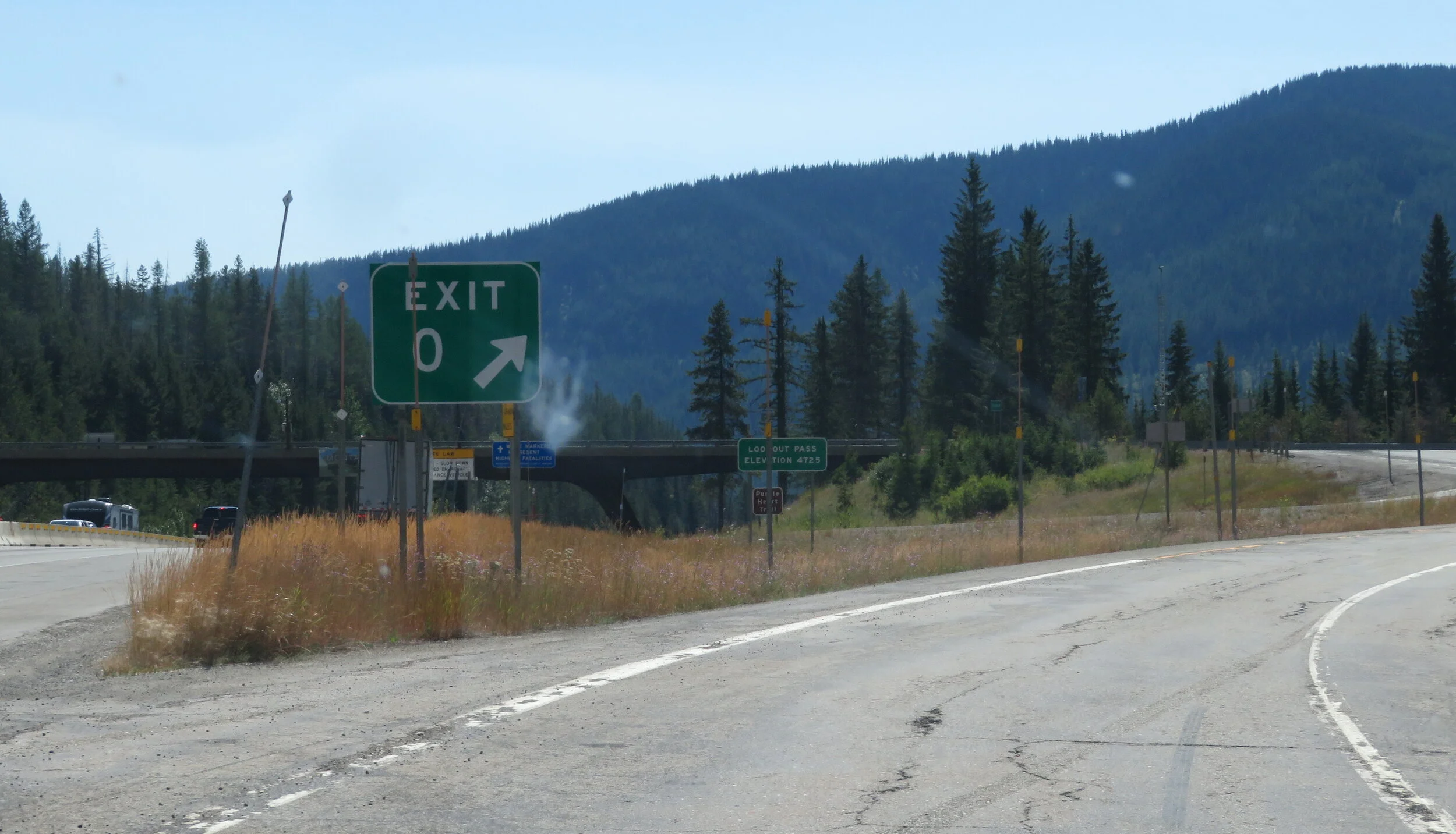
Exit 0 Lookout Pass on the Idaho-Montana state border
We decided that the Route of the Hiawatha was so close that it would be a shame not to ride it. The clincher was a brochure that proclaimed ‘Ride the Hiawatha...15 Miles All Downhill ...Shuttle back to the Top”. We headed east on I-90 to Exit 0-Lookout Mountain. Riding The Hiawatha cost $13/pp plus $12/pp for the shuttle back to the top. Tickets needed to be purchased in advance at the Lookout Pass Ski Area, but the trailhead for the Hiawatha was actually a couple of miles east on I-90 in Taft, Montana. We bought our tickets, checked out the trailhead and headed back towards camp.
The day was still young and I’d read about some old mining cemeteries up in the Bitterroot Mountains north of Wallace. The route also provided a steep, circuitous roundabout way back to the campground. We followed the Dobson Pass Road for about a mile out of town before we found the Nine Mile Cemetery, adjacent to the Sierra Silver Mine.


What are the stories here? Mary Roden, born in Dublin, Ireland in 1846… during the Irish Potato Famine. Did she immigrate to the USA as a child with her parents? How did she ever end up in Wallace, Idaho? So many unanswered questions.
Midst the steep hills and forests, the cemetery was quite large and provided a peaceful scene for those who were laid to rest there. We wandered a bit, but the heat was stifling and the hills were steep.

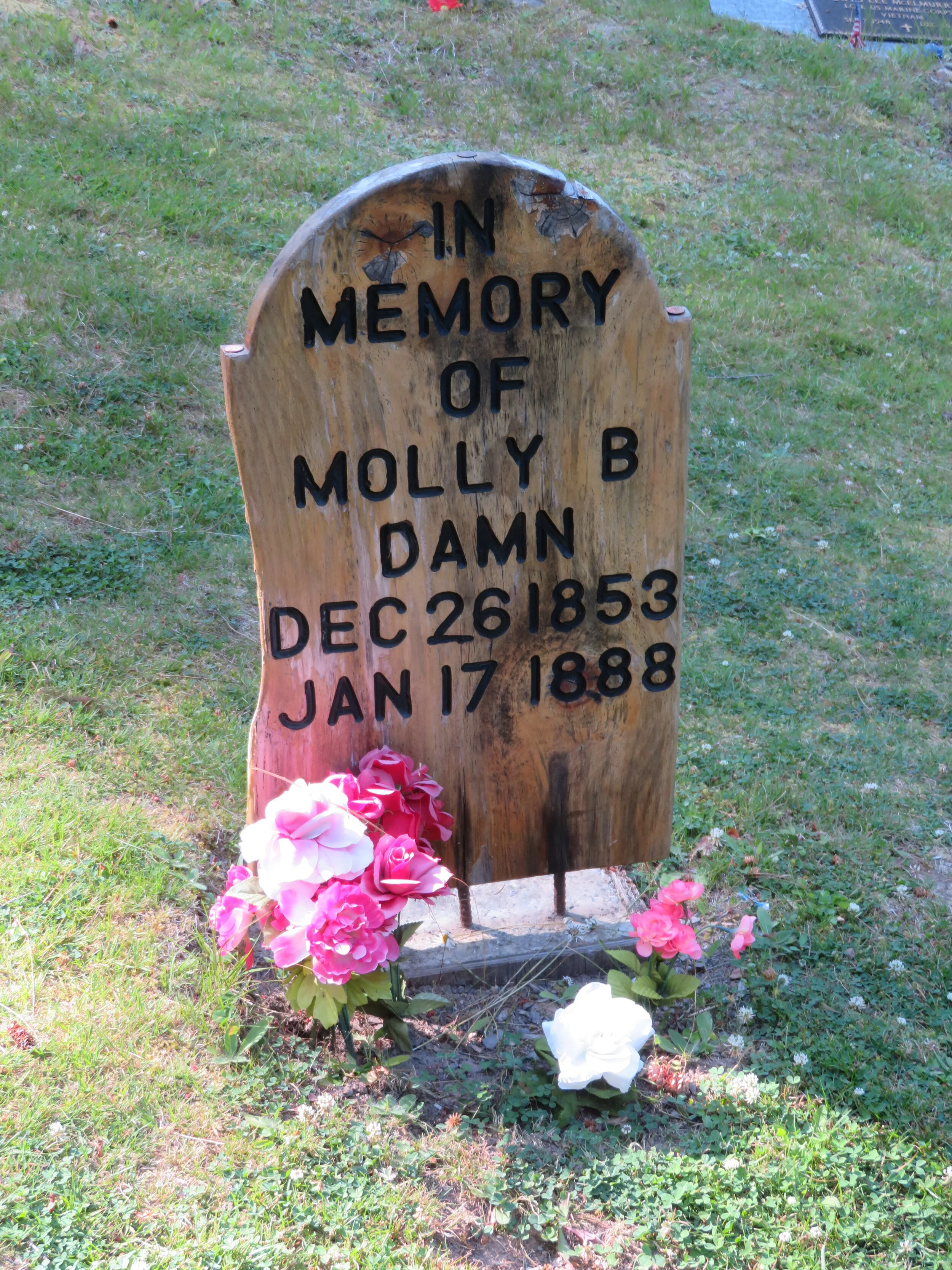


We drove on and up, further north over Dobson Pass via a narrow, circuitous road through the little town of Prichard and finally arrived in Murray, the home of the Bedroom Goldmine. The mining camp’s cemetery here was smaller and provided more history of its ‘residents’. There was Molly B. Damn and Terrible Edith, bakers and barbers, miners and bankers and even Captain Toncrecy, the alleged inspiration for Mark Twain’s Huck Finn character. Each grave with its own story to tell of a life once-lived. Many of the headstones had been replaced with wooden markers and we wondered how long they’d last.


We stopped at the Bedroom Goldmine Bar, established 1884, but the place was crowded with nary a mask nor any distancing in sight. We gave it a pass and drove through town. We didn’t need a beer quite that badly.

The Spragpole Museum, also a restaurant and bar, was just across the street. It looked interesting with its totem poles and eclectic collection of ‘stuff’ out front, but it also looked small and cramped and we gave it a pass, too. Bars are just not a good place for us to be right now.
We were back at camp by mid-afternoon. There was laundry to do and bikes to tune up before our upcoming ride on the Route of the Hiawatha. We’ll take care of the laundry and the bike tune-up, you just grab a cup of coffee or a cold beer and join us next time for our ‘15 mile all downhill ride’. You can coast!