

North to the Arctic on the Dalton Highway
/There are not very many roads in Alaska when you consider how large the state is. From Fairbanks, there are three directions you can drive: south on the Parks Highway towards Denali and Anchorage; north on the Dalton Highway to the Arctic Circle and eventually Deadhorse, the Prudhoe Bay oilfields and the Arctic Ocean; or southeast to Delta Junction, the official end point of the Alaska Highway, then Tok, and back into Canada once again.
We pondered our next destination. South wasn’t an option; we’d just come from there. After driving 1000 miles on the gravel, pot-holed Dempster Highway, we”d decided that was enough of gravel roads. And east meant we were starting the return trip home.
After much deliberation… the Dempster wasn’t really all that bad, was it? Memory fades rapidly at our age. The Dalton Highway north would be new territory. We’d not only cross the Arctic Circle again, we could actually camp there. Driving 494 miles to 70° North latitude would be a cool (although dubious) achievement. Though we couldn’t drive our own vehicle to the Prudhoe Bay oilfields, we could take a shuttle there and dip our toes in the Arctic Ocean again. Yup, we talked ourselves into driving north on the Dalton Highway.
After reviewing The Milepost and doing a bit of research, we made sure the gas tank was full and Blanche was ready for the trip. We had plenty of food and plenty of fresh water. Gas, repairs, fresh water and food have limited availability on the Dalton.
We’d actually driven on the Dalton Highway, aka the Haul Road, in 1992. Back then we had a rental car, very limited time, and we drove 200 miles of rough, gravel road to the Arctic Circle and then back again in one day. Slam, bam, thank you, ma’am. We were young then; that would never happen nowadays.
So, instead of spending time in Fairbanks, we stopped only long enough to re-provision, check Blanche, and gas up. There have been wildfires burning in this area, but we confirmed with the Alaska Wildland Fire Info site that it was safe to travel north. We were on our way.

While in the Walmart parking lot, we learned a new word: Coddiwomple, stenciled on the back of another van. It’s a perfect word for us… to travel purposefully toward an as-yet-unknown destination. This time, we have a definite destination in mind, but many times we don’t.

The Steese Highway connects to the Eliot Highway which then connects to the Dalton Highway about 90 miles north of Fairbanks. First stop on the Eliot was Wickersham Dome Trailhead for the evening. A very large, gravel parking area just to the east of the Eliot Highway, this was an easy and convenient place to stop. Two trailheads held our interest and after a short walk, we planned to walk further in the morning. We warmed up leftovers for dinner.
The best laid plans of mice and men… we woke in the morning to heavy smoke and acrid air. It was hard to breathe, our eyes watered, we were coughing and visibility was less than 1/4 mile. We wasted no time getting on the road. A weather alert indicated unhealthy air quality conditions. No kidding! The air quality improved, however, the further north we went. We kept on moving.
Another 45 miles up the Eliot and we turned onto the Dalton Highway (AK-11). The pavement immediately turned to gravel. We stopped at the Welcome to the Dalton Highway sign about a mile onto the road. Were we really doing another gravel highway? I asked David again if he was up for this drive and the answer was unequivocally “Yes! Let’s go!”

What did surprise us was that there were parts of the highway that were paved…an improvement since 1992. We would travel miles on gravel and hard-packed dirt and then a section of few miles would be paved. A pleasant respite every once awhile from the rough ride on the gravel.
From a distance we spotted thick smoke and worried about another fire. As we neared we discovered it wasn’t smoke at all, but rather a thick mist over the Yukon River.

We stopped just before crossing the Yukon River Bridge for an up close and personal look at the Alaska Pipeline.

The Yukon River Bridge aka E.L. Patton Bridge is about 2300’ long, is wood-decked and in need of some attention.

The Alaska Pipeline runs over the river, right along the side of the bridge.

BLM operates the Yukon Crossing Visitor Contact Station (very formal name). We passed under the ‘headache bars’ which resembled goal posts and insured that we could safely drive under the pipeline without damaging it or us.


Bob Mauer, the volunteer host, was on hand and was extremely knowledgeable. We spent the better part of an hour chatting with Bob and walking the short, but interesting interpretive trail for views of the Yukon River and the pipeline.
The Yukon River Camp was opposite the visitor center entrance and we stopped briefly. Originally a pipeline construction camp, it now offers gas, diesel, a small cafe and gift shop.
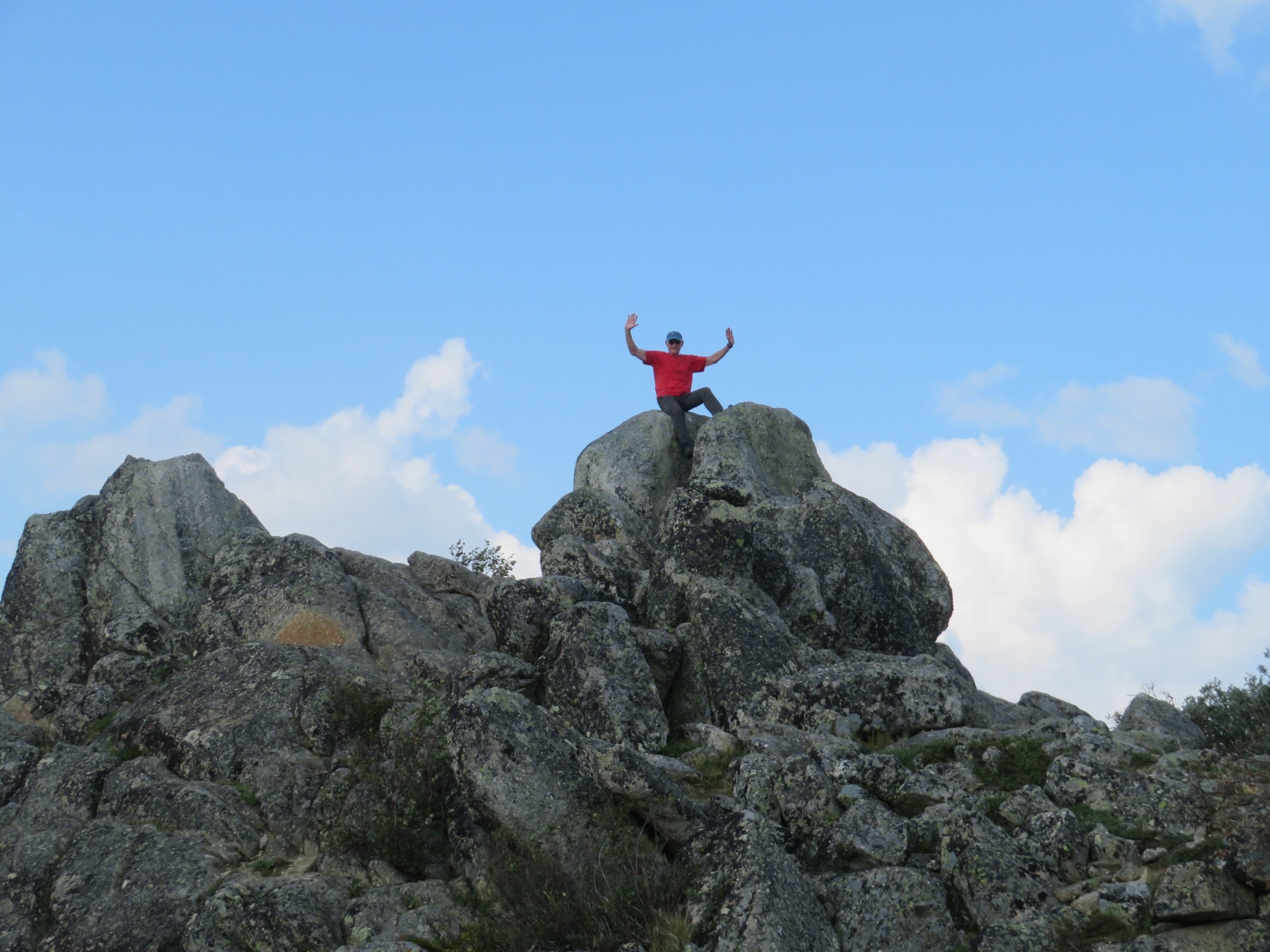
Another 40 miles of roller coaster road… very steep ups and very steep downs… and we sighted Finger Rock. Technically called a ‘tor’, a solitary rock outcrop that juts dramatically out of the ground. Finger Rock, at 1,875’, has been a landmark for travelers for centuries.

The BLM has graciously provided a pleasant wayside stop here with a large parking area, vault toilets (thank you, BLM) and an interpretive trail.

Our destination for the day was just 17 miles further up the road… the Arctic Circle. Two very pleasant BLM rangers were welcoming folks to the Arctic Circle Rest Area and Campground. We had our requisite photos taken in front of the sign and then proceeded up to the newly established, very pleasant campground.

Plenty of room (19 sites)… we had our choice of prime spots. Cost was $10/night-$5 w/senior pass; pack in/pack out trash; no fresh water; very clean, well-stocked vault toilets; fire rings and picnic tables. Other campers had spotted a black bear near our camp site, but we never saw it.
We intended to linger over a hot breakfast and coffee, but lingering was out of the question. The mozzies and gnats were out in force. We were on the road at 0930 on a hazy, windy morning. We stopped briefly at Gobbler’s Knob Wayside for a gauzy view of the Brooks Range foothills, the low-lying Jack White range in the foreground.

The BLM has provided wayside stops all along the Dalton, most with vault toilets and informational signs. At the Grayling Lake Wayside, the trailside was covered in blueberries, ripe for the picking. Despite the mozzies, we managed enough blueberries for tomorrow’s pancake breakfast.


Coldfoot Camp, the biggest truck stop on the highway at MM 175, was our next destination and only 60 miles away. We planned to camp there. Across the highway was the Arctic Interagency Visitor Center. We’d heard lots of great things about both and we were anxious to visit.
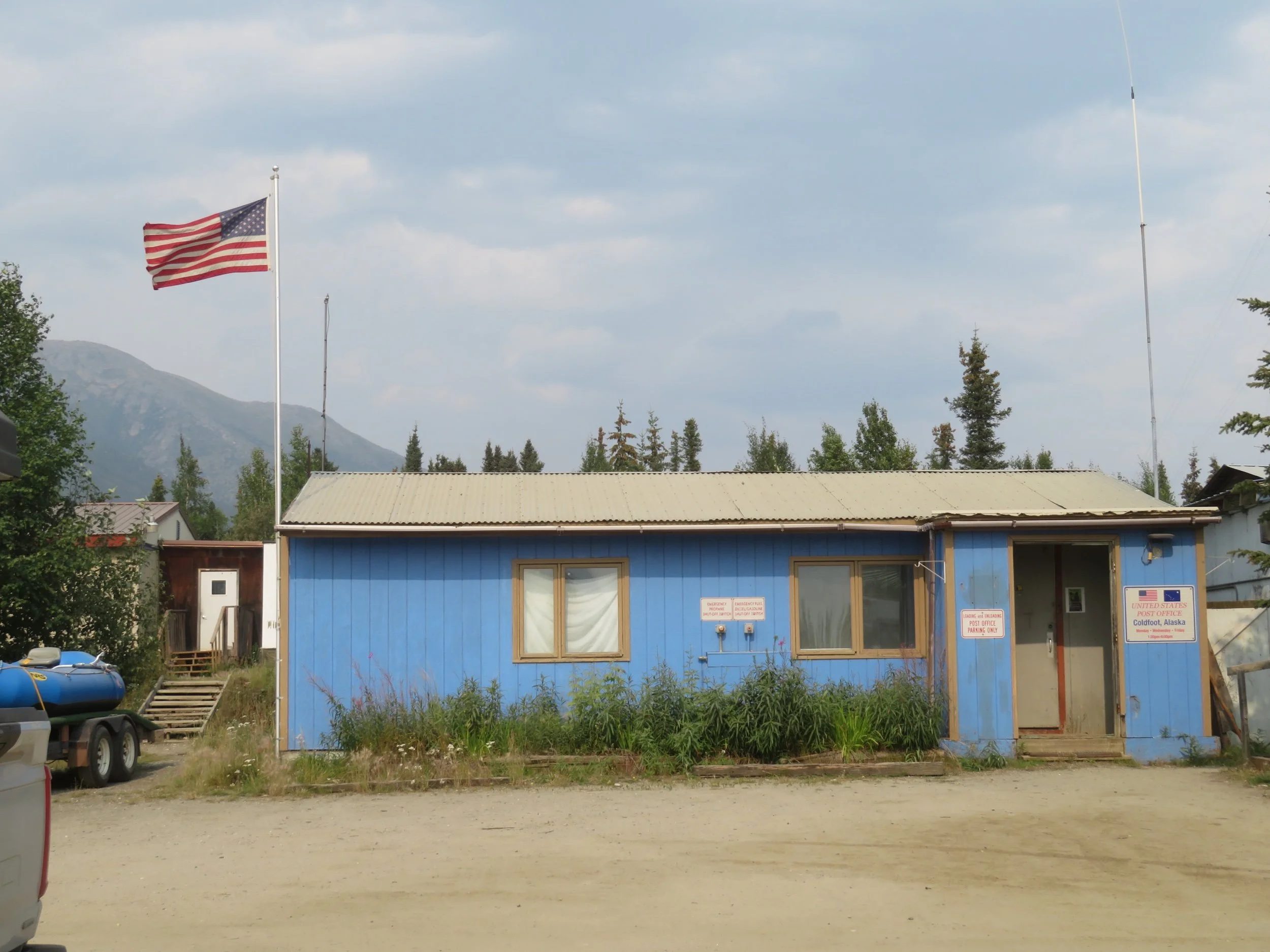
We stopped at Coldfoot first and it was a disappointment. Like Yukon Camp, the place is basic, offering gas/diesel, fresh water, a tire repair shop, a cafe and saloon, and a small ‘inn’ originally used to house pipeline workers ($250/night). There’s also a US post office there with very limited counter hours, but an easily accessed mail drop inside.


We needed to gas up here to make it to Deadhorse, as did everyone else heading north or south. We gasped as the gas pump chocked up the dollars faster than we’d ever seen them whiz past. At a whopping $7.50/gallon, it was the most we’d ever paid for gas. Fresh water was $20. Showers $14/each. Food prices in the cafe were high. Even taking into account how far everything had to be trucked to stock this camp and the lengths it took to keep the camp going, we still felt the prices were out of line and certainly higher than we wanted to pay. We were well-stocked on both food and water, so other than gas, we gave Coldfoot a pass.
The Arctic Interagency Visitor Center was, however, a gem. A group effort of the BLM, NPS and US Fish & Wildlife Service, the rangers were well-informed and offered lots of information, brochures and maps. The gift shop/bookstore was excellent as were the natural history exhibits. Well-marked interpretive paths outside led to pipeline views and nature trails.


Just 5 miles beyond Coldfoot is the Marion Creek BLM Campground. At $10/night-$5 w/senior pass, it was obviously more to our taste and budget with clean vault toilets, well water (a little rusty, but okay for dishwashing), picnic table, fire ring and 27 spacious gravel sites… and two bars of AT&T cell coverage. The camp was not very busy during our visit, but we heard that during hunting season, the sites can fill up quickly for extended periods.

We were nearly halfway to Deadhorse and so far, so good. Join us next time as we reach the ‘end of the Dalton’ and dip our toes in the Arctic Ocean one more time!