

North to the Arctic on the Dalton - 2
/Leaving the Marion Creek Campground, we returned to the Dalton. The GPS is very confused. It instructs us to take non-existent roads or grassy cart roads that obviously lead nowhere. Luckily, it’s easy to ignore the instructions and not get lost since there is only one road to follow.
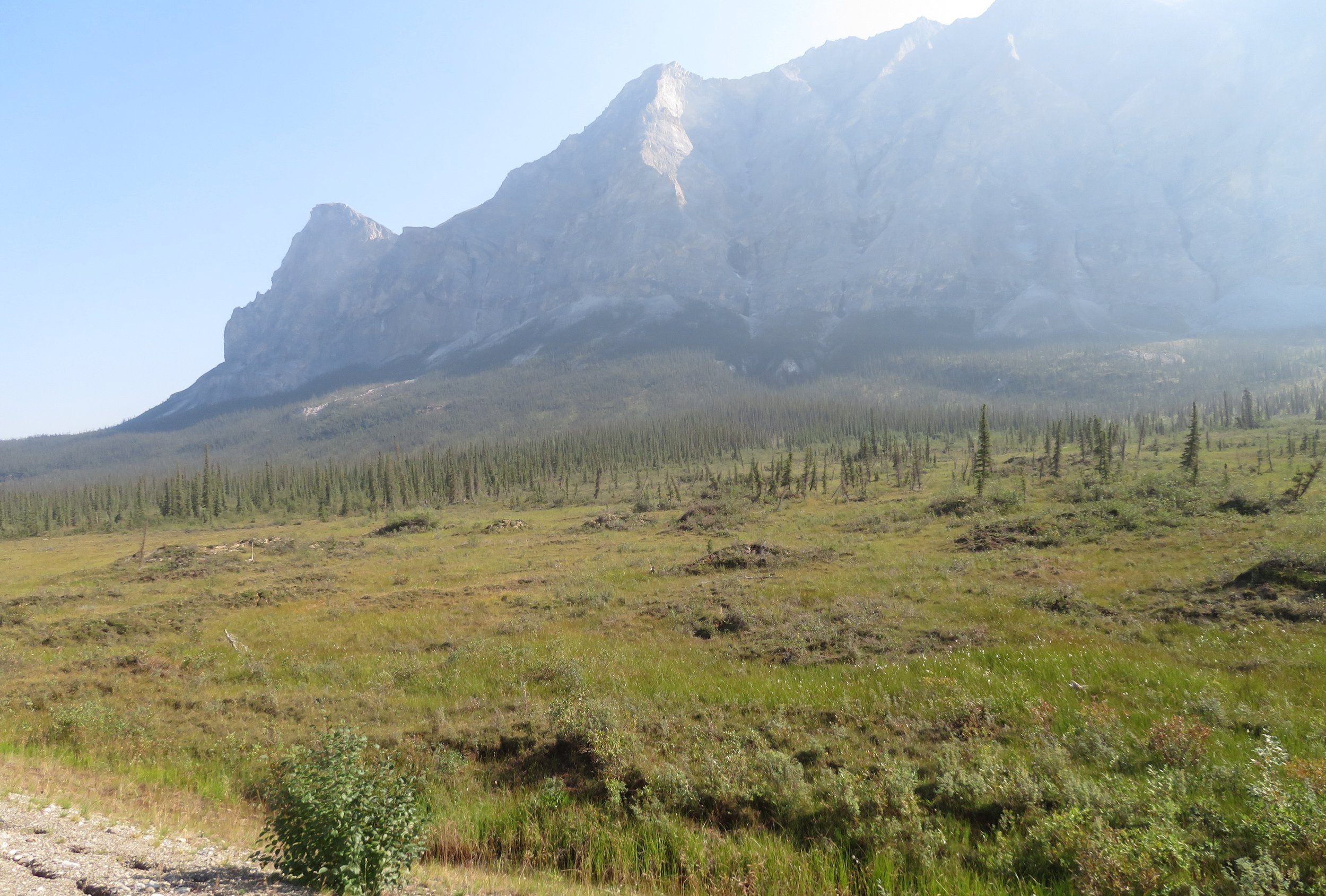
We crossed river after river, the sun shining brilliantly, but still the mountains were hazy. We are in the Brooks Range now with mountains all around us on the boundary of the Gates of the Arctic National Park. The only way into the park is either by fording a river and hiking in or being airlifted. This is true wilderness and it’s meant to be kept that way.

The landscape slowly changed. The trees were shorter and sparser… mostly black spruce and willows. The ground is pocked with ‘palsas’, upheavals in the land caused by ice forming beneath the soil and pushing upwards.
At one rest stop, we met Sam from Barrow, Alaska in the far, far north. He was driving to Prudhoe to ship his car to Barrow via barge. In the winter, he said, it’s possible to drive across the frozen sea or ice roads across the land, but it’s a long, arduous journey. He planned to drop off the car, fly back from Deadhorse to Anchorage and then fly back to Barrow to claim his car. We asked if there were many roads to drive on in Barrow and the answer was ‘no’. Interestingly, even when there are few roads, people like having cars. We remembered the island of Tristan da Cunha in the South Atlantic with five miles of road and everyone seemed to own a car.
Despite less annual rainfall than Tucson, Arizona, the roadside abounds in small pools of standing water and wet, soggy areas. Permafrost is not far below the surface and winter melt and runoff water that doesn’t make it to a river cannot be absorbed into the ground and thus collects in the low lying areas.

We climbed to the Chandalar Shelf and then up, up, up and over the Atigun Pass and the Continental Divide. At 4,800’ this would not be much of a mountain pass in the Rockies, but here it’s well above treeline and seems impossibly close to the sky. Warnings of ‘slides’ were everywhere… no stopping, no standing. Snow clung to the shady ravines and clefts on the mountainsides.
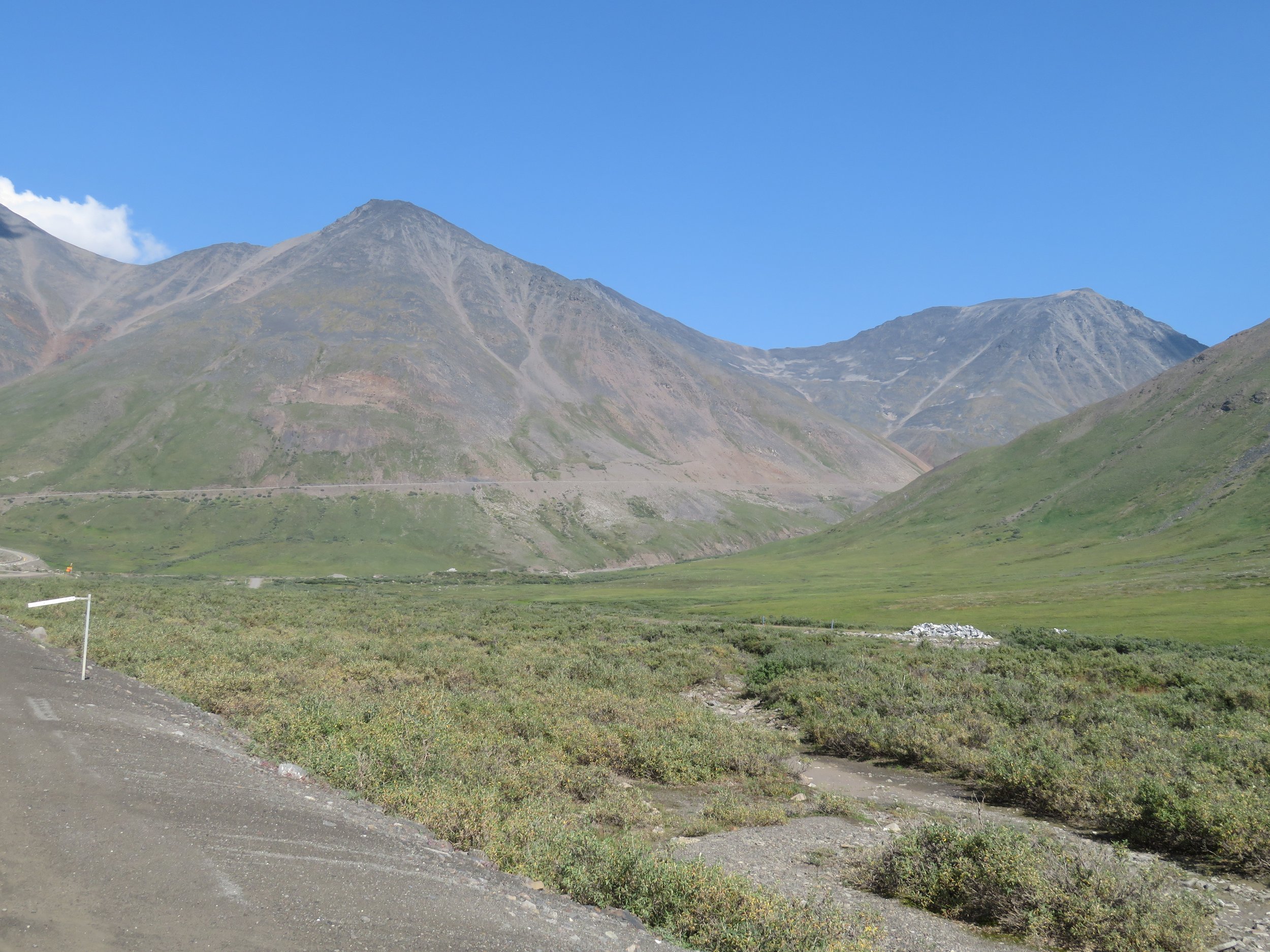


Though we weren’t traveling all that many miles, it was an exhaustingly, slow ride and we welcomed the sight of the Galbraith Campground. Located ~5 miles off the road, we could still see it from the highway across the lake. Where there are no mountains, the land is flat and tundra, devoid of trees.
This no-fee BLM campground was surprisingly nice with 12 level sites, picnic tables, fire rings, a clean, well-stocked vault toilet. Amazing as it might seem, we had AT&T cell phone coverage here. Several hunters were setting up camp in anticipation of hunting season.

A slight breeze kept the mozzies away. We lingered outside in the mild 71°F evening taking in the wonder of the place. We walked down towards the lake, but the river was too high to get closer. Arctic ground squirrels scurried across our path and paused at a safe distance to give us the once over.

Sunset at Galbraith, ~11:30pm was beautiful.

100 days on the road today. We were on the road by 0615 on the final leg of our journey to Deadhorse. A hazy sun was just peeking over the nearby mountains. We had made reservations on the Arctic Ocean Shuttle ($68/pp) for a Prudhoe Bay tour at 3:30pm and still had ~140 miles to go. We’d heard there were construction delays along the road and wanted to insure we arrived in Deadhorse in plenty of time.
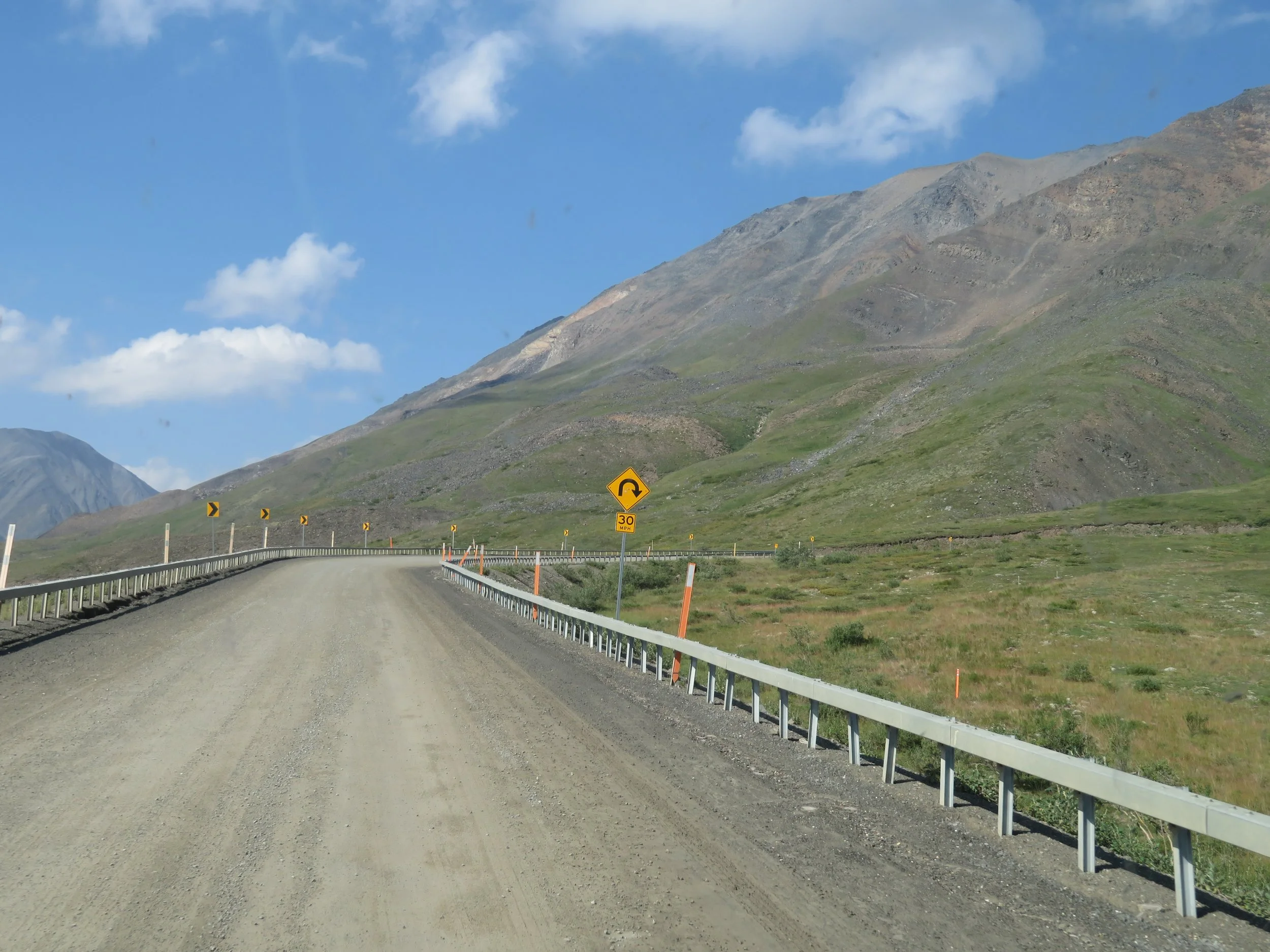
We trudged along the highway across Ice Cut and over Oil Spill Hill, came to the construction and followed the pilot car for 16 slow, tedious miles over very rough road.


We’d been told by several rangers that ‘the last 50 miles of the Dalton are the best in all Alaska’. This section of the road had been rebuilt and paved within the last couple of years. What joy… smooth pavement.
We came to the Sagavanirktok River (aka Sag River) and it was foggy. This was supposed to be a good animal sighting area, but we could barely see. We did make out some caribou in the distance. The calf was adorable.

and further on we spotted several muskoxen.

The further north we drove, the thicker the fog. We figured it would burn off as the day warmed up but by the time we reached Deadhorse, it was still very low visibility.

The road ended abruptly at a T. We had plenty of time to explore the area before the tour.

We filled up at the Colville station, the only gas in town ($7.39/gallon).


There’s not much to see… lots of machinery and equipment. Some of the areas and roads are restricted and off limits to visitors. The camps are utilitarian, dormitory-style housing units for the workers, and have cafeterias, TV/game rooms and shared facilities. The camps are ‘dry’ and workers found drunk or drinking on the job are summarily fired.


The Aurora Hotel looked to be the high-end non-worker lodging option. We noted rows of dangling electrical cords poised and ready for vehicles to plug into to withstand -40° winter-time temperatures.


The general store was upstairs from the NAPA parts and Ace hardware store. A sign out front welcomed us to Deadhorse and the end of the Dalton Highway.

The general store was described as having ‘a little of everything and not much of anything’ and it’s an apt description. We wandered through the aisles. There was a huge Carhartt section (the Alaska tuxedo), but greeting cards, dusty souvenirs, coffee pods, fishing gear and miscellaneous convenience store type groceries and snacks were also available.

We spoke with Ruth, the cashier, who lives in Washington State. She’s been working in Deadhorse for a couple of years now…12-hour days for three weeks, then three weeks off. She flies home on her off time. The ‘company’ pays her airfare back to Anchorage. This is the schedule most people work at the oil camps.
Back at the Deadhorse Camp, we checked in for our tour. While waiting, we sat in the camp cafeteria and sipped a cup of hot tea compliments of the friendly chef.

There were 11 people on our tour and we loaded into the van. Jack was the driver and tour leader, an affable, knowledgeable guy. We’d had to provide ID when we made our reservations, license or passport numbers, and as we passed through the oilfield security, each ID was checked against the manifest Jack presented at the gate.

The thick fog persisted as we progressed on our tour. Jack provided information on the oil fields as well as local fauna and flora. He drove slowly, but stopping was not allowed. A moving vehicle on a gravel road, fog and wet van windows made for less than optimal photo opportunities.
We arrived at a large gravel turnout, left the van and walked down a gravelly beach to the Arctic Ocean shore. Jack immediately shed his shirt and pants and waded into the 40° water for a swim. Four others joined him. We were content to roll up our pants legs and wade in to our knees. That’s Jack, our tour guide, basking in the chilly Arctic Ocean in the background beside us.


Returning to Deadhorse Camp, the fog intensified. Despite the fog and dreary weather, the tour was well worth the time and money invested. Rather than drive in the fog, we found a large turnout about five miles down the Dalton and pulled off for the night. Good old AT&T was still available.
Next time, back down the Dalton and three days in Fairbanks, the Golden Heart of the Interior. C’mon along and join us!