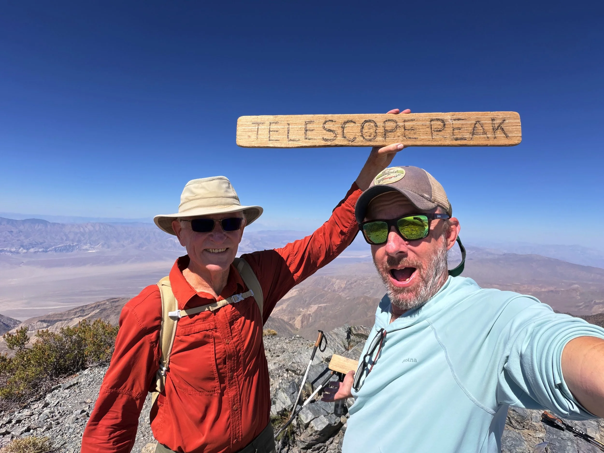

Tackling Telescope Peak
/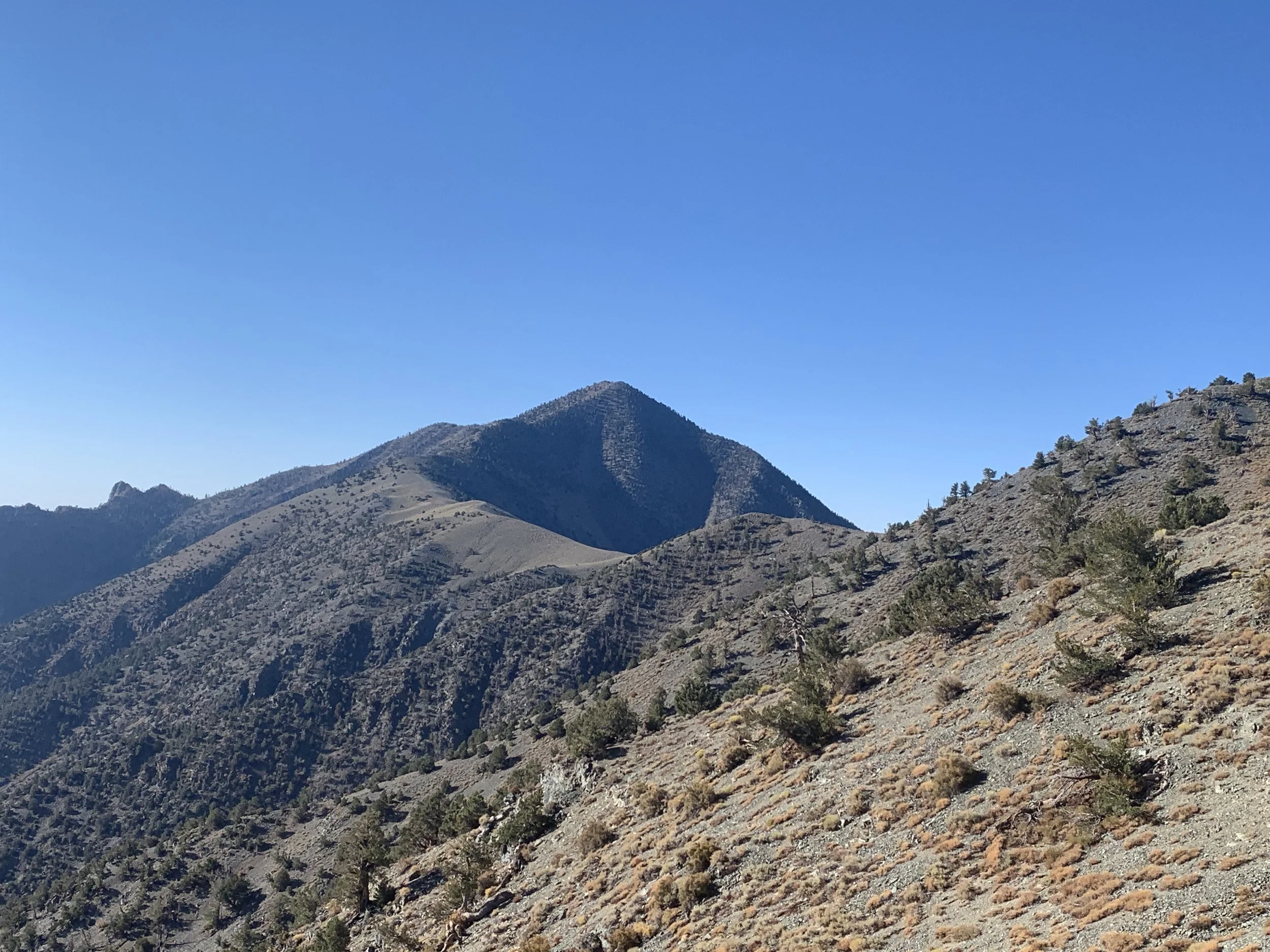
Telescope PEak
As I mentioned in my last blog, Brennan, our oldest son, is an avid mountaineer. One day, he was lamenting the fact that most of his climbing buddies were getting older and no longer wanted to tackle mountains with him. I suggested that maybe he and I could find a peak to climb together. He was quite enthusiastic about the idea, and we settled on Telescope Peak in Death Valley.
At 11,049 feet (3,368 meters), Telescope Peak is the highest mountain in Death Valley National Park. Its base is in Badwater Basin, the lowest point in North America at 282 feet below sea level. That means the mountain rises more than 11,300 feet above the valley floor.
Depending on the route, climbing Telescope Peak from Badwater Basin involves between 20 and 31 miles round trip. Regardless of the route, you're looking at more than 11,300 feet of continuous vertical elevation gain. Add zero water sources, virtually no shade, challenging navigation, and drastic temperature changes—often starting in 100°F-plus heat and ending in freezing alpine winds—and you've got one seriously demanding mountain adventure.
We didn't do that.
Perhaps when I was much younger and a whole lot fitter, I might have contemplated one of those routes. But at my age and current fitness level? It wasn't even a consideration.
Instead, we chose a much more realistic approach: drive up to Mahogany Flat Campground at about 8,133 feet and take the well-marked trail to the summit. Even this route is strenuous—about 13 miles round trip with more than 3,000 feet of elevation gain—but it seemed considerably more manageable for an old duffer like me.
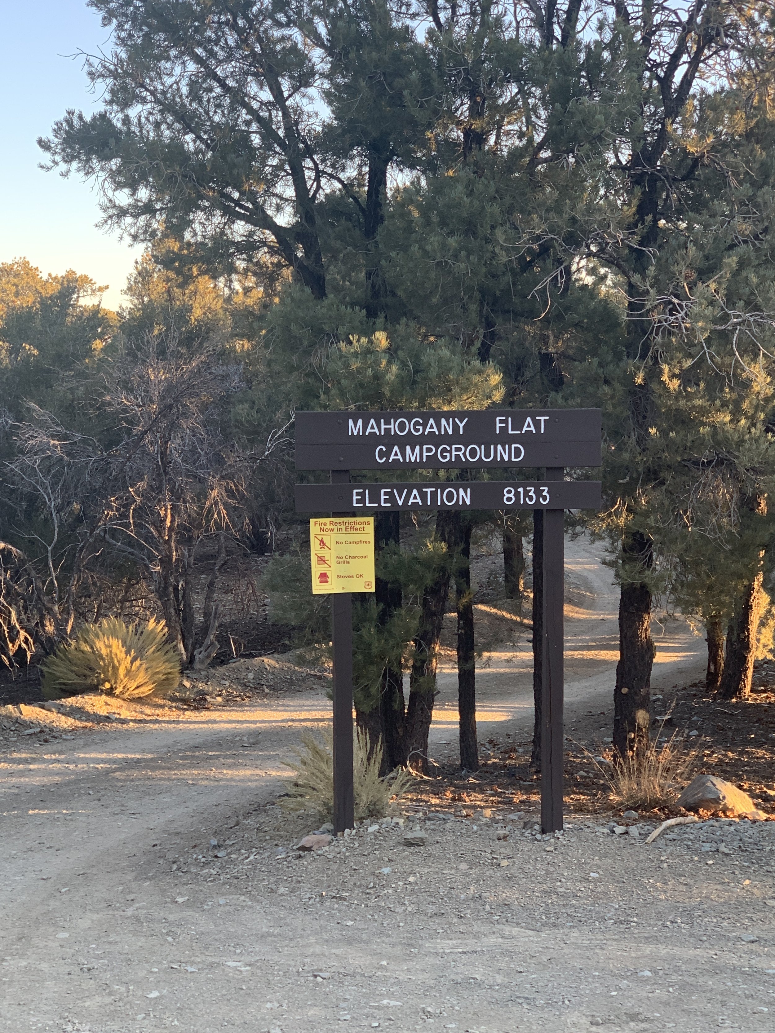
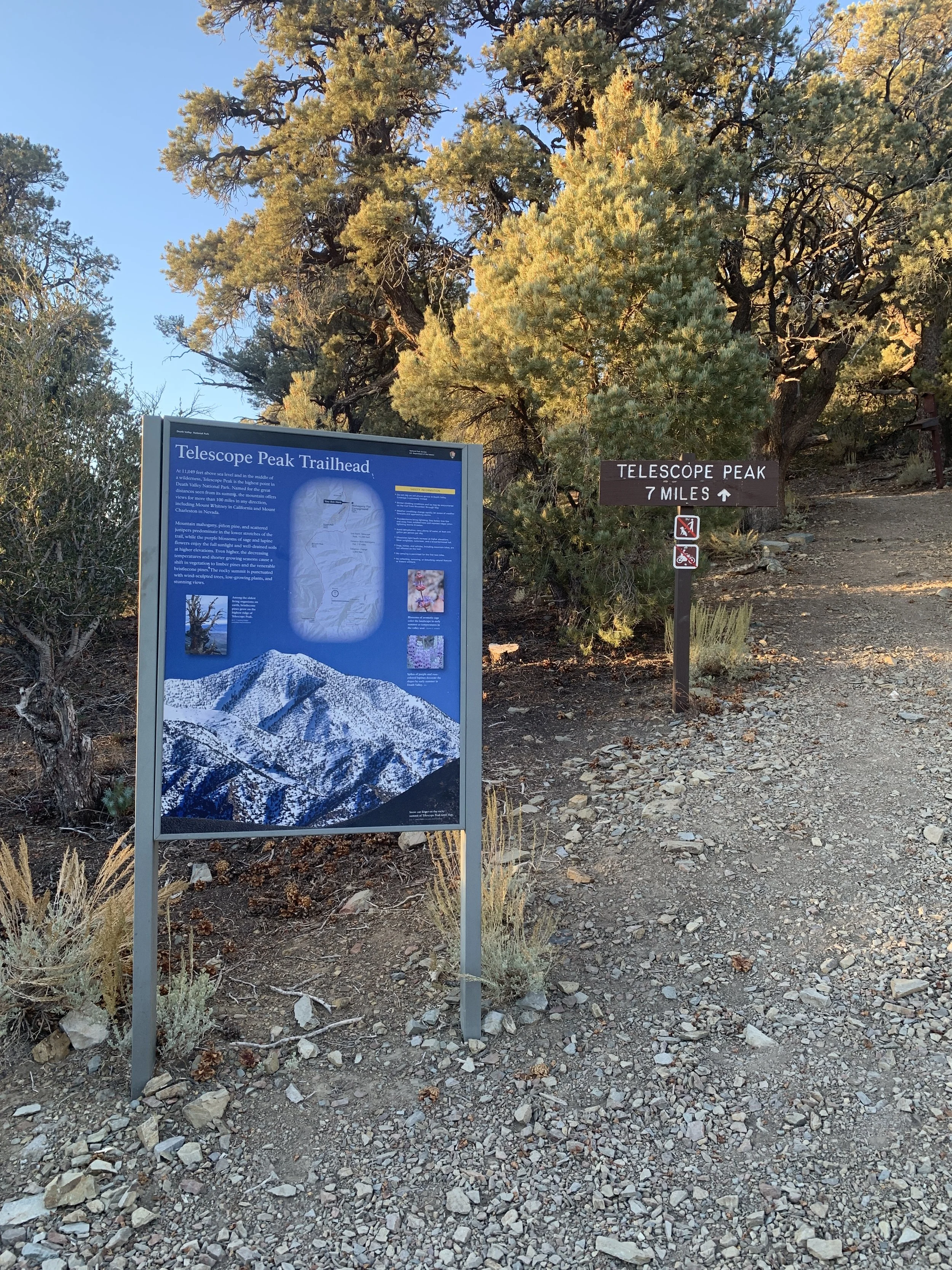
We had a perfect day, and the scenery was spectacular. The trail climbed through piñon pines and across alpine meadows before reaching a grove of ancient Great Basin bristlecone pines, some of which are more than 3,000 years old. The final half-mile was the most dramatic, following a narrow, windswept, exposed ridgeline to the summit.
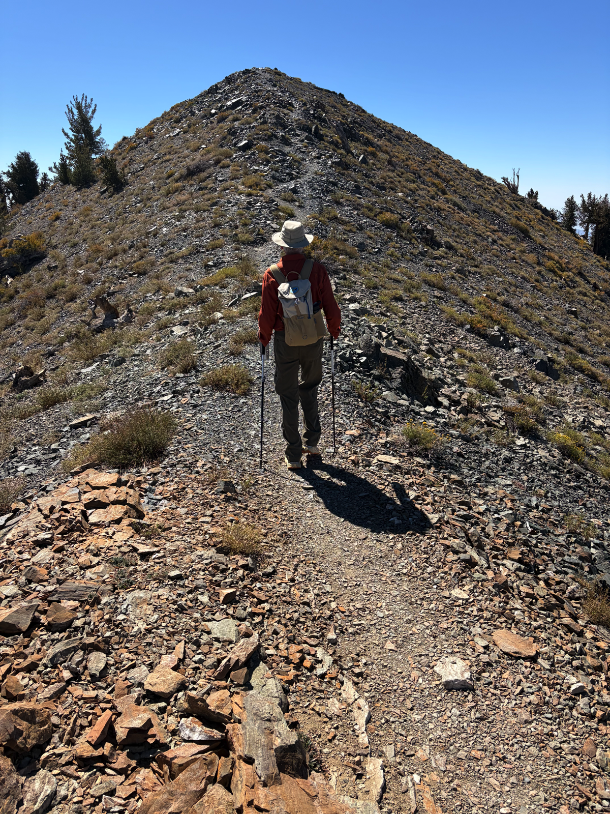
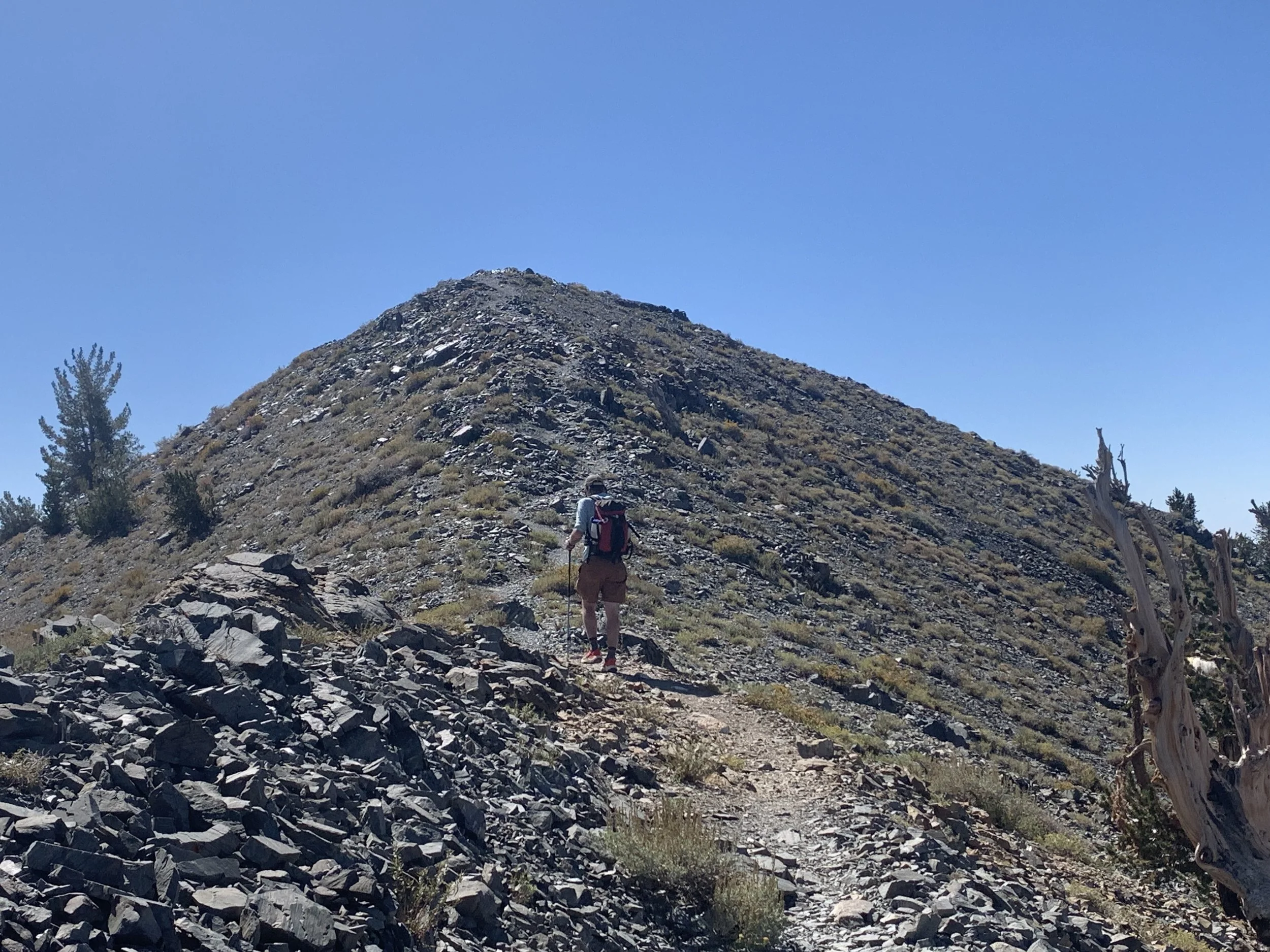
Brennan led the way, of course, and was remarkably patient while his increasingly out-of-breath old dad tried to keep up. We hit the trail right at dawn and reached the summit at about 11:30.
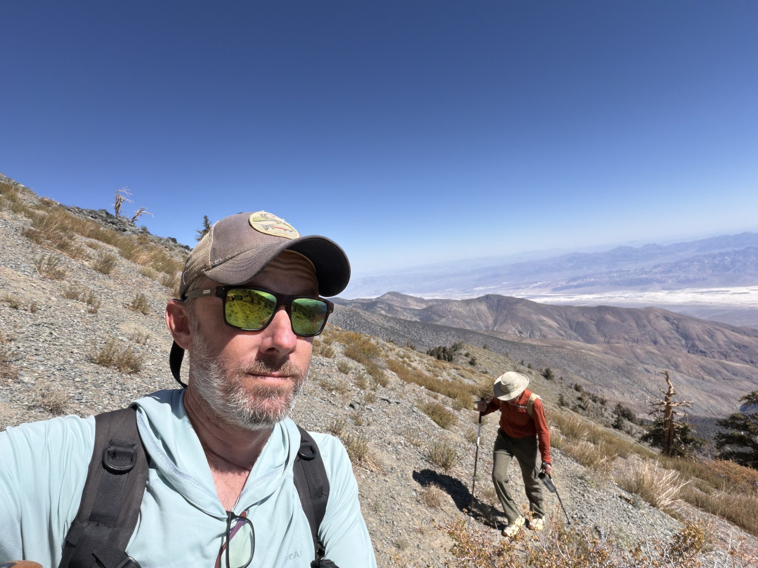
Brennan patiently waiting for his old dad to catch up
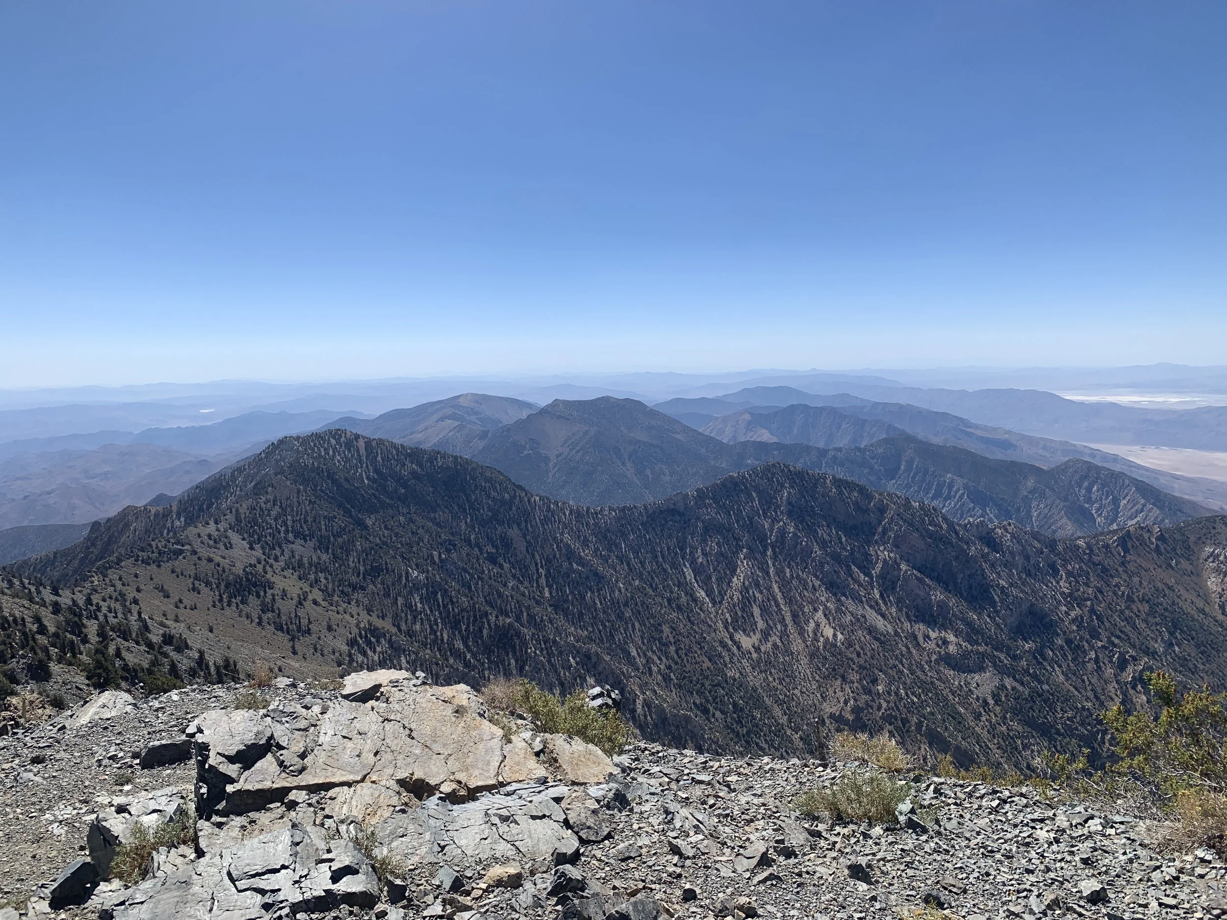
The views along the way—and especially from the top—were spectacular. We could see Mount Whitney to the west, Charleston Peak to the east, and dozens of other peaks stretching in every direction.
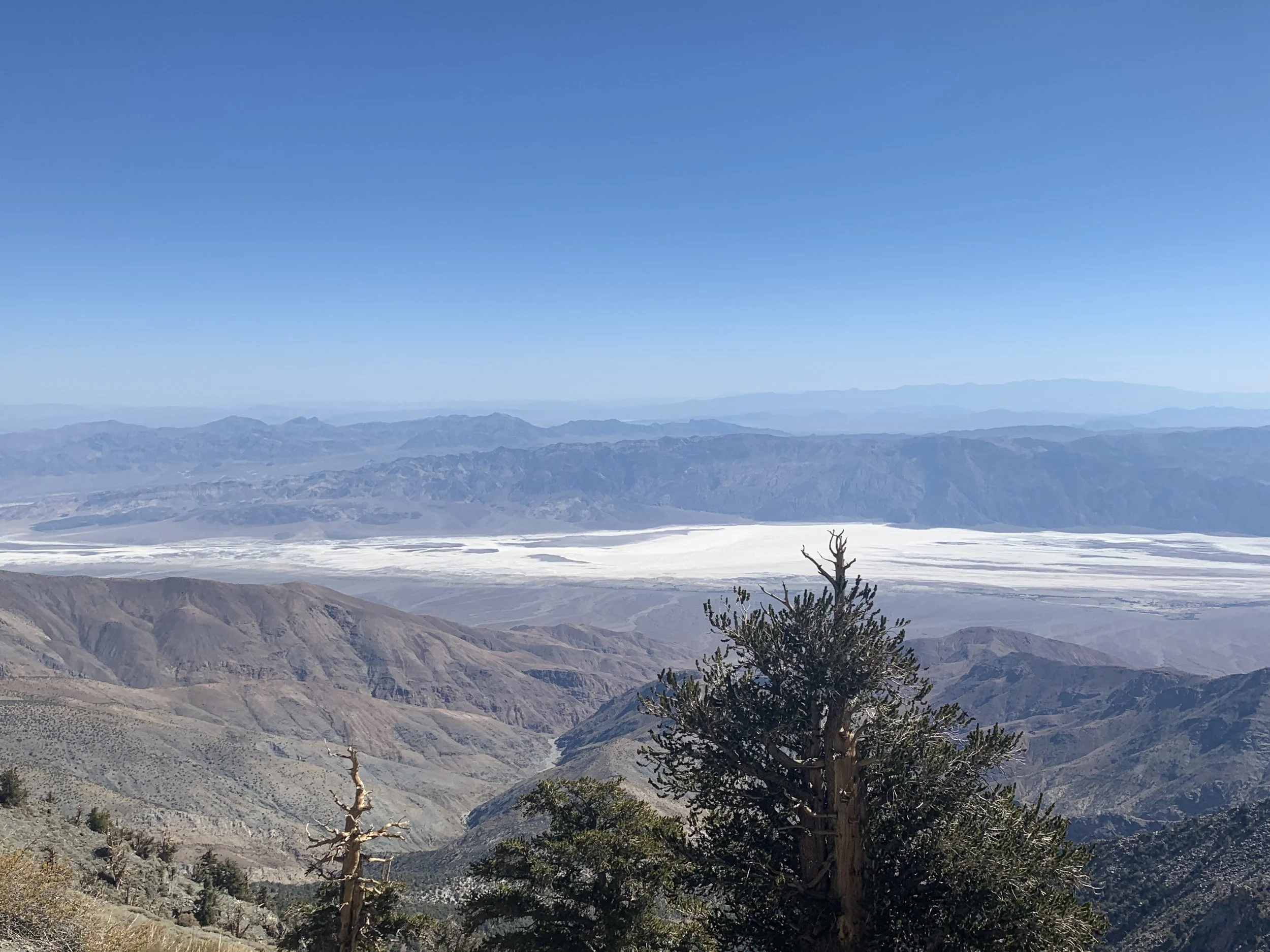
At the summit, we found two signboards and three old surplus Army ammunition boxes.
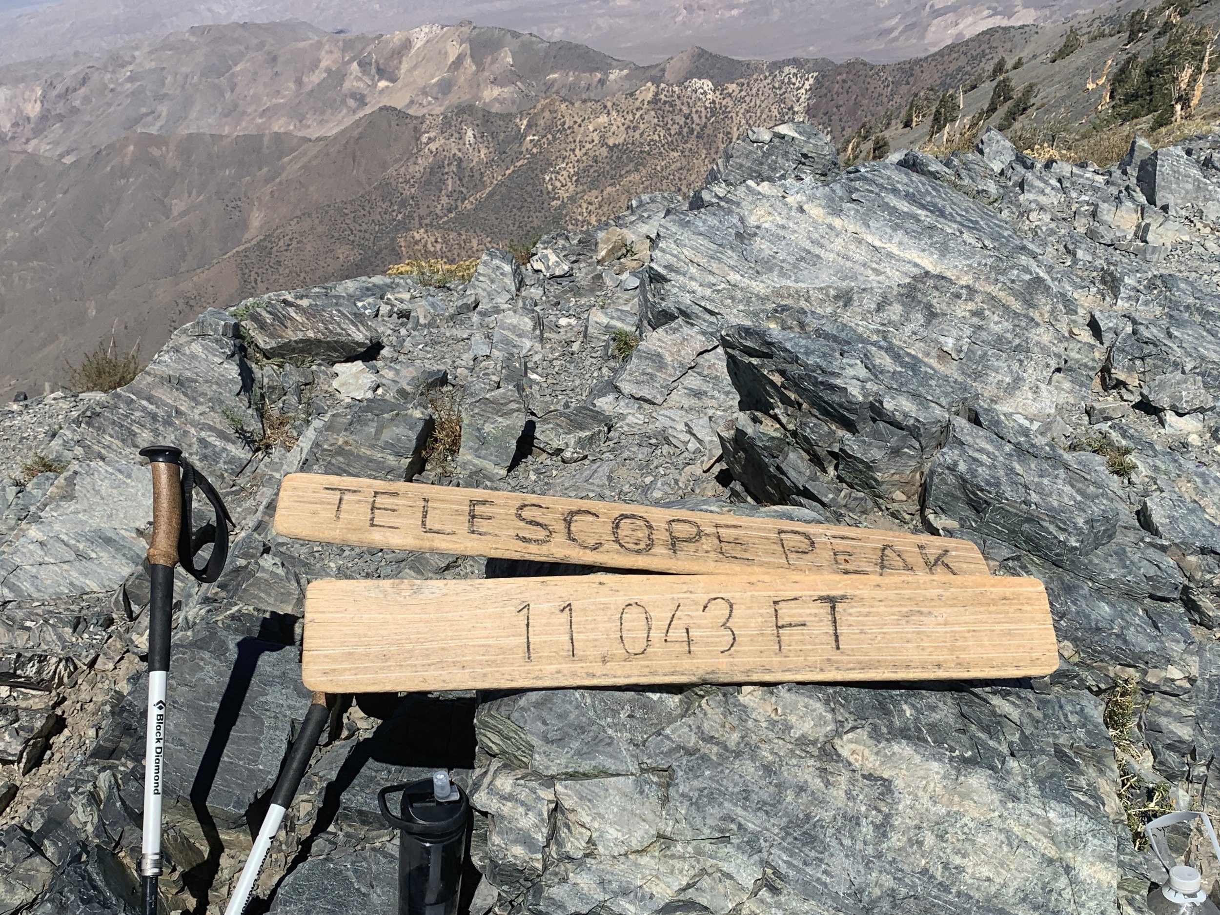
One was a geocache containing the usual assortment of trinkets left by previous visitors. It also contained a pair of binoculars. The second held the summit logbook, which we dutifully signed. And the third? A flask of good rye whiskey.
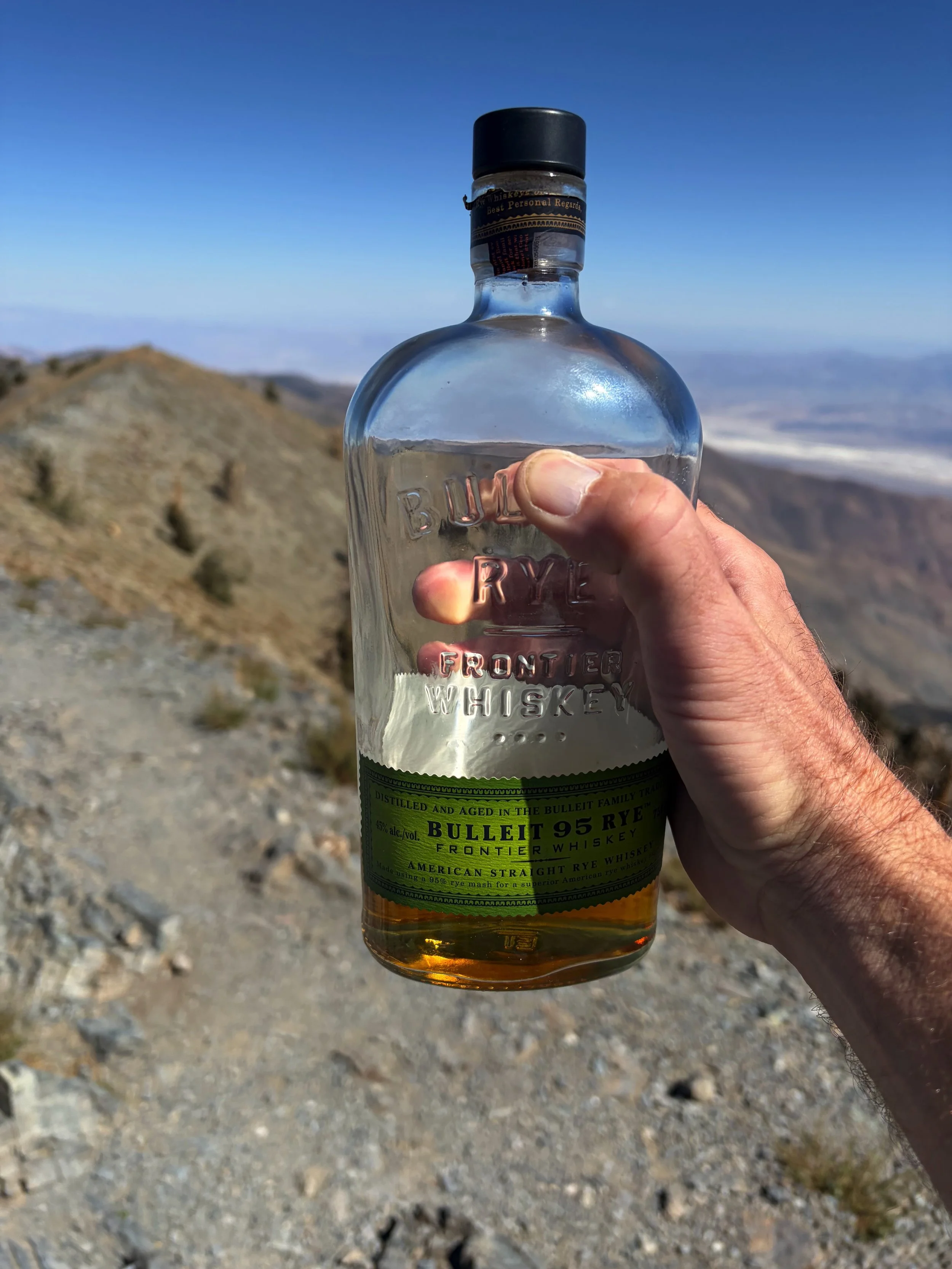
Now that's what I call thoughtful trail planning.
It would have been a pretty great way to celebrate reaching the top, but I wasn't particularly enthusiastic about hiking back down after a pop or two. So we exercised a little restraint and took a raincheck on the whiskey. Instead, we celebrated with cold beers while sitting on the tailgate of Brennan's rental pickup back at the trailhead.
After 13 miles and more than 3,000 feet of climbing, those beers tasted pretty damn good, too.