GWL – High Desert, Wild Horses & Steens Mountain
/Day 45 – 3, 716 total miles traveled
A morning walk on the Obsidian Flow Trail
Our route took us through Bend again, so we stopped for a fuel top-up, a WalMart supply top-up and some local first-of-the-season cherries on sale at Albertsons. Yum! We were heading east on US-20 , the High Desert Discovery road, into southeast Oregon’s high desert country. Steens Mountain was 200+ miles away … a big travel day for us!
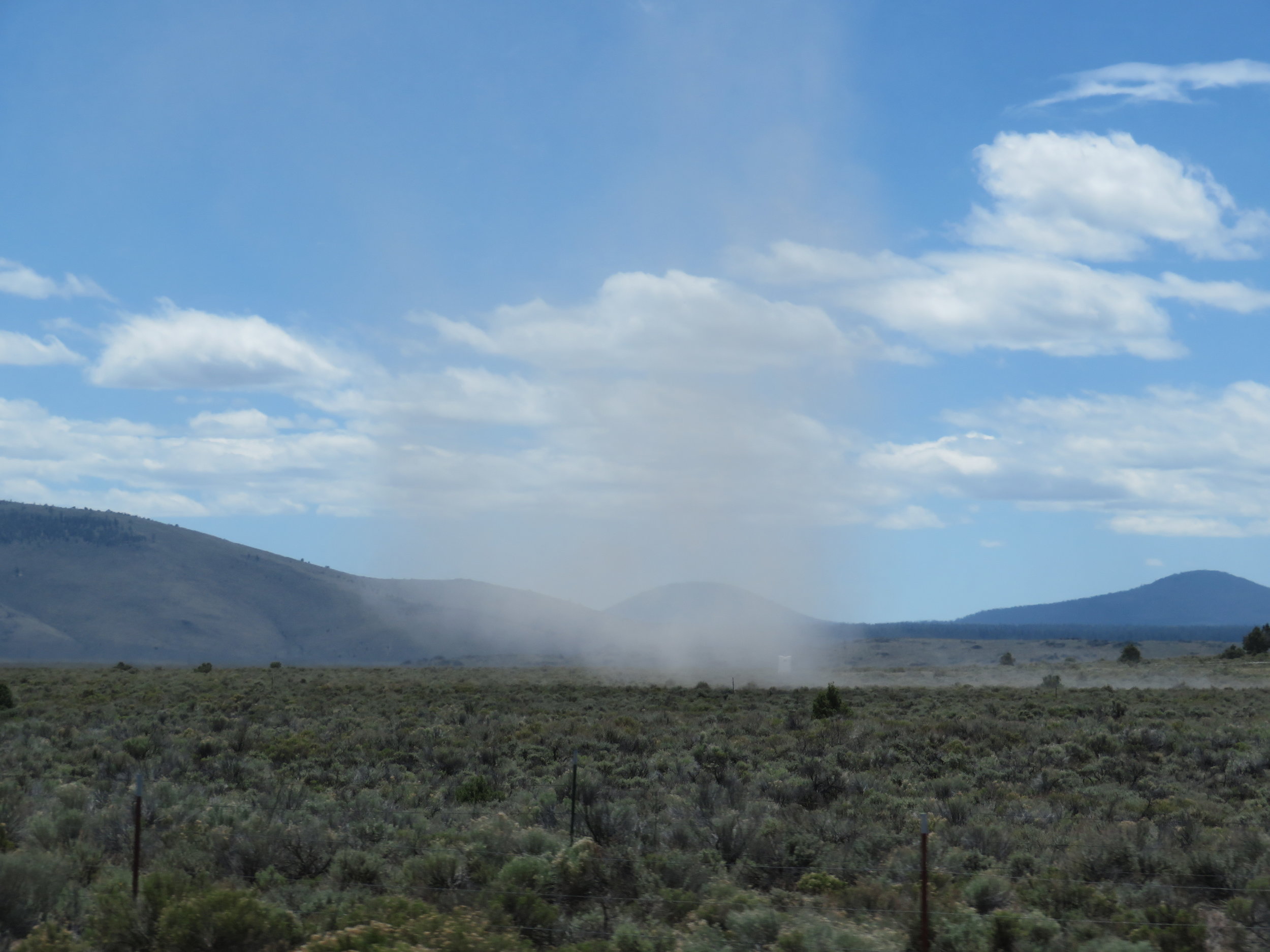
We passed miles and miles of sagebrush and dry, parched land. Dust devils swirled and sometimes gave Blue an unwelcome shove. When we think of Oregon, it’s always the green, lush coast that comes to mind, not the arid high desert lands. Wildflowers still somehow found their place and dressed the roadside in much-needed color.
Dust devils twirled and swirled over the flat, parched land.
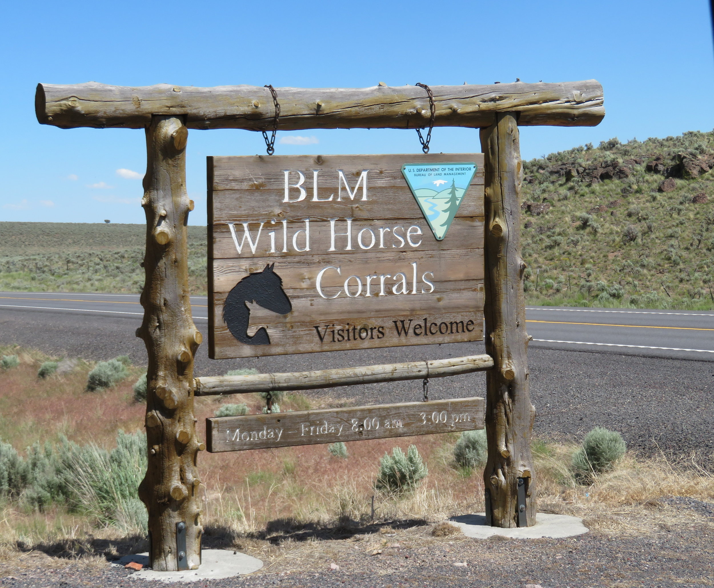
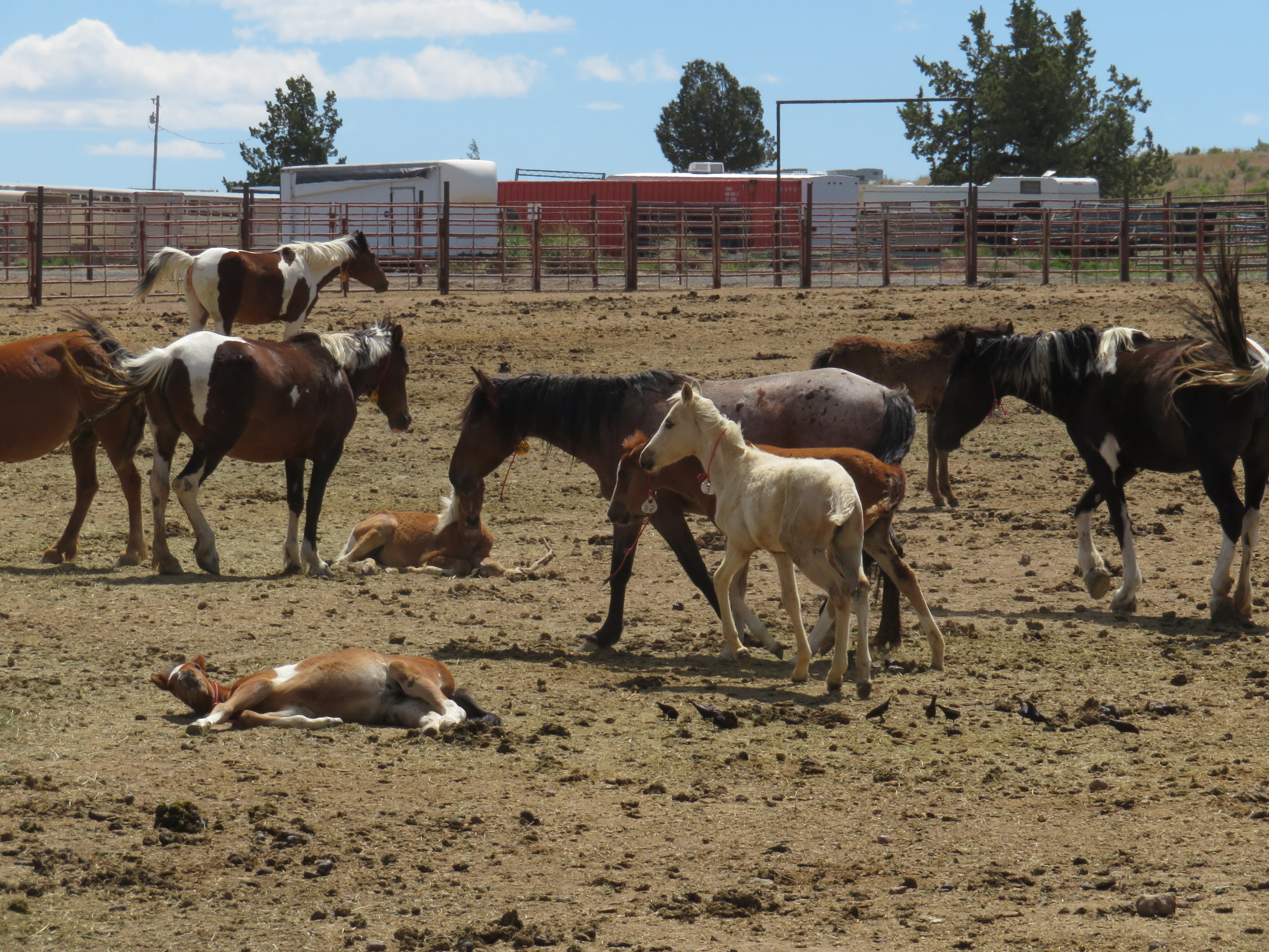
In Hines, we took a short detour when we saw a sign for the BLM wild horse corrals. The BLM manages the wild horse and burro population in Oregon, rounding up animals in overpopulated areas, providing innoculations and vet check-ups for the horses and putting them into an adoption program. According to the BLM, ‘As currently managed, by the summer of 2019, there will likely be well over 100,000 wild horses on BLM-managed land, with up to 20,000 more the year after," said the agency, which says it has the capability to round up about 20,000 animals annually.’ We took the auto tour around the facility and past all the corrals of fine looking animals including lots of mares with newborns. Want to adopt a horse? Check this out.
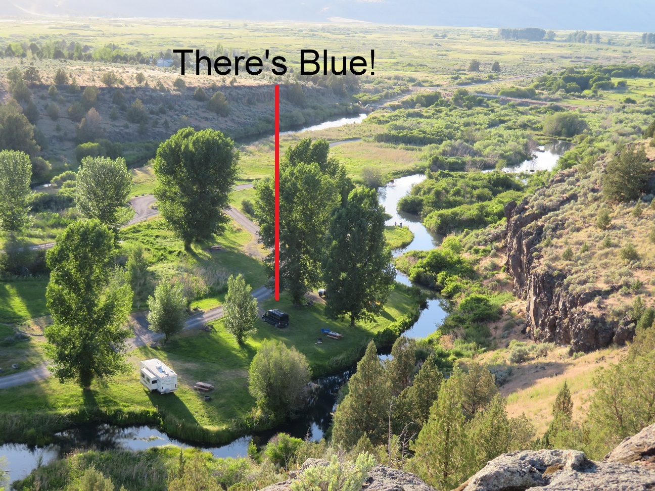
We finally arrived at the Page Springs Campground at Steens Mountain where warm mid-80 temperatures welcomed us. After the cold we’d been experiencing in the western high country, we relished the change. We found a reasonable campsite, set up camp and decided we needed a good stretch after all those drive miles. The Wilderness Loop Trail climbed up the back of an escarpment near the campsite and afforded us wonderful view of the camp, Blue and rivers and streams below.
The top of the Wilderness Trail Loop afforded us a great view of the campground, Blue and rivers and streams below.
Dinner on the campfire was oh so pleasurable because we weren’t shivering as the fire died out. The mosquitoes might be an issue being so close to the river, but we had Cutter’s with us, so they were not a problem.
Day 46 – Steens Mountain and too many mozzies - 3,964 miles traveled
Heading onto the Blitzer River 'unmaintained' Trail
We were awake at 0515 for no apparent reason, got the coffee going and planned our day. There are two rivers nearby the camp named the Donner & the Blitzen. No, they’re not named for reindeer, but rather they’re the German words for thunder and lightning. The Blitzen was closest and a 4-mile one-way trail follows the river to its confluence with the Donner. We decided this would be our day’s hike.
Blitzen River ... the first half mile was easy enough.
The only description of the trail was ‘unmaintained’ which should have given us a clue. The first half mile or so was well-trodden … anglers use it to get to their fishing spots along the river. Beyond that point, however, the going got progressively more difficult. Grass was knee-high, then shoulder high. The trail was uneven and rocky. David tromped and I stomped and banged my walking stick on the ground in order to alert any sleepy, slow serpents that we were coming through.
At some points, we scrambled over volcanic a’a and jumble and at others, we crossed streams and rivulets that later joined the river (we counted 5). There were several missteps, many stumbles, a couple of trips and one reasonable fall. About 2.5 miles in, we agreed to head back. Several turkey vultures circled overhead. Innumerable lizards and three good-sized snakes crossed our path. Herons, bluebirds, butterflies and dragonflies were spotted en route along with a dazzling array of wildflowers.
The problem with a trail like this for me is that I have to spend all of my time concentrating on the trail and my footing and what I really want to concentrate on is my surroundings and what I can see … while looking up. We did get a 5-mile hike out of the deal, so that’s a positive.
An interesting note … we saw a cautionary sign regarding the presence of poison hemlock in the area. I thought it was wild lovage. We checked it out and sure enough, we found the distinguishing red blotches on the stems which identified it as the same type of hemlock plant used to poison Socrates back in 399 BCE.
It was still early when we returned to camp so we decided to drive the Steens Mountain Loop road. According to the officials, some of the roads were still closed due to drifted snow. We drove for miles on a well-graded gravel road through open range. We traveled through sagebrush to areas thick with western juniper, then the flora changed to quaking aspen and then to subalpine meadows. We made it to the summit at 9,700’. We saw snow, but were never impeded by it. The views from the top were stupendous spread out before us. Huge gorges carved by glaciers were breathtaking. Remember, you can click on the thumbnails to make them larger.
Blue was an absolute mess when we returned with grey-brown dirt caked onto his sleek blue body. He really needed a bath, but David convinced me that our manly Blue enjoys getting down and dirty and roughing it once in awhile. Hmmm.
A neighbor at the campground gave us fresh trout he'd just caught which David promptly gutted, cleaned and put on the grill for dinner. Yum!
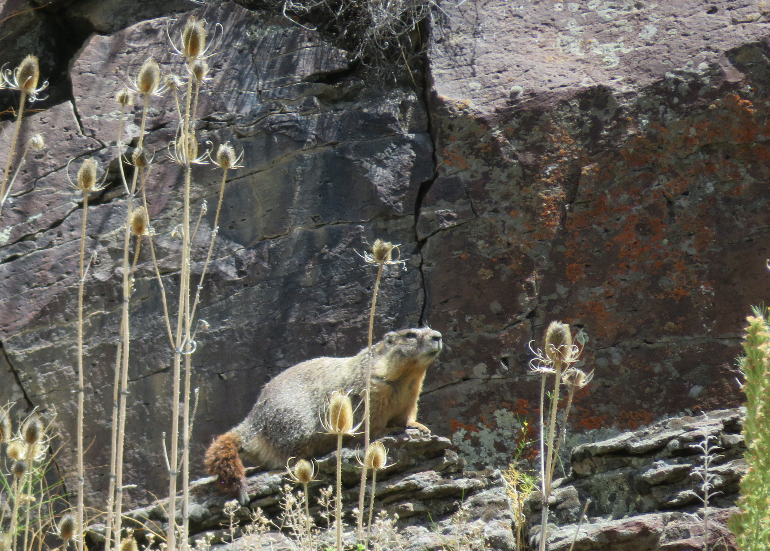
We watched a fat, busy-tailed marmot make his way down the hill just above the river to munch on grass then climb back up again.
Cliff swallows were busy feeding their chicks in nests that precariously clung to the cliffside. We could hear the chicks screaming for more, more, more!
Dusk brought mosquitoes in droves. We were thoroughly doused in Cutter’s super duper strength insect repellent, but they seemed to be oblivious to it and buzzed our heads so incessantly, we finally gave up and headed inside Blue for the night.
We'll be heading through Malheur Wildlife Refuge and back across the Nevada line next time. Join us.


