Lions, Lighthouses and Lager
/Nine of Cups was sitting comfortably on her mooring and it was time for the crew to take a good walk, stretch their passage-cramped legs and see some of the sights. The Bridge of Lions seemed a good place to start.
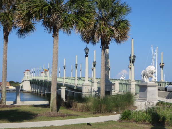
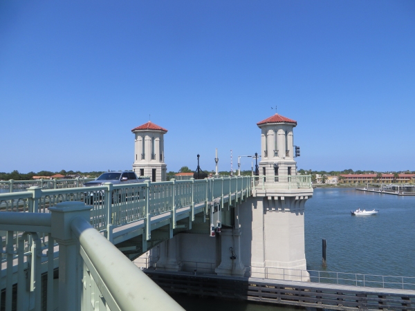
From its earliest days, the Bridge of Lions has been hailed as "The Most Beautiful Bridge in Dixie" and has long been a symbol of St. Augustine. Listed on the National Register of Historic Places, the double-leaf bascule bridge spans the Matanzas River/Intracoastal Waterway and connects the city of St. Augustine with Anastasia Island. Originally completed in 1927, it recently underwent a 4-year restoration. (2006-2010) and it is, indeed, a beauty.
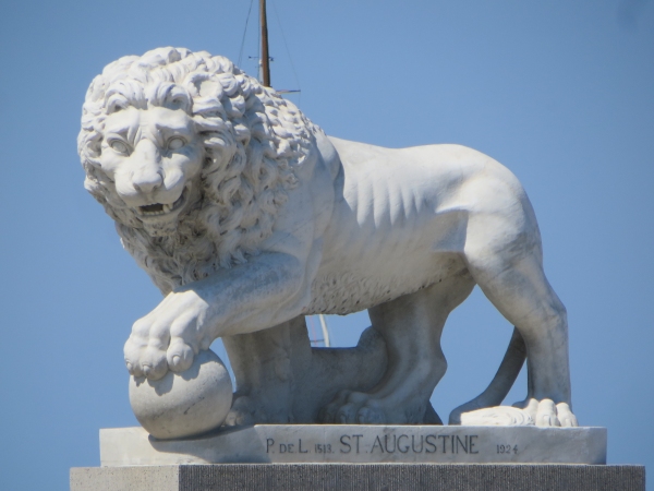
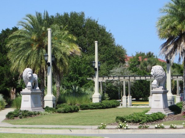
The bridge gets its name from a pair of impressive marble Medici lions that guard the entrance to the bridge from the city. Copies of the originals found in the Loggia dei Lanzi in Florence, Italy, these lions were faithfully sculpted at the Romanelli Studios in Florence and were a gift to the city from Dr. Andrew Anderson (1839-1924).
We walked over the bridge, stopping to take in the views and click a few photos. It was near the half hour and we wondered if it would open while we were there, but there was no waterway traffic and we ambled across without interruption. As we continued on to Anastasia Island, we noticed yet another pair of lions. In July 2015 to commemorate St. Augustine's 450th birthday, a local couple donated another pair of lions which sit at the eastern end of the bridge in Davis Shores Park.
We sauntered along Anastasia Boulevard (aka Rte A1A South), on the lookout for a road that led to the historic black and white, conical-striped St. Augustine Lighthouse which we'd seen from the seaside of the inlet on our approach.
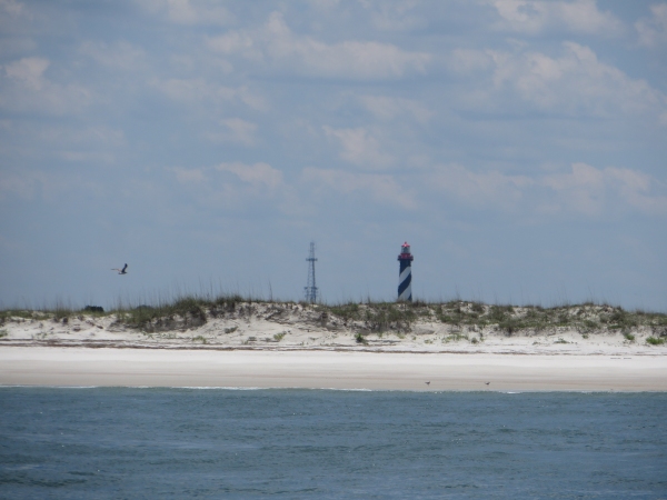
We could also view the lighthouse from the deck of Nine of Cups while on the mooring, rising above the buildings on Anastasia Island during the day and flashing at us every 30 seconds throughout the night. We were interested in a close-up view.
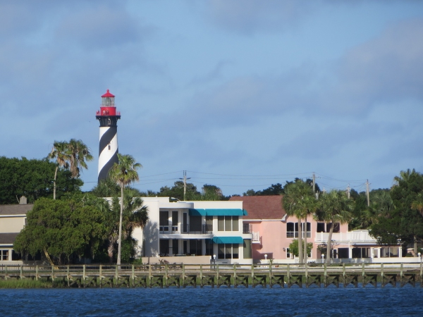
Anastasia Island is a long, skinny barrier island (14 mi long x 1 mi wide) and the “boulevard” is lined with restaurants, shops and all things touristy. We asked directions several times since we had no view of the lighthouse and there were no signs. We figured we couldn't go too far wrong since the island was only a mile wide, but we didn't want to have to walk its length to reach our goal. We hung a left onto shady Busam Street which connected to Lighthouse Avenue … a clue. Lighthouse Park was in view, and the stately, well-kept lighthouse peeked out above the trees.
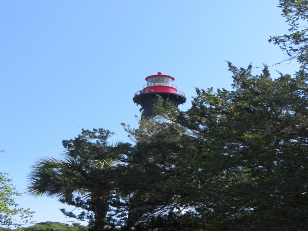
An active lighthouse, the current St. Augustine Light Station was built in 1874 and now is privately owned by the St. Augustine Lighthouse and Museum, a not-for-profit maritime museum and private aid-to-navigation. At 165' (50m), it can be seen for 17 nm out to sea.
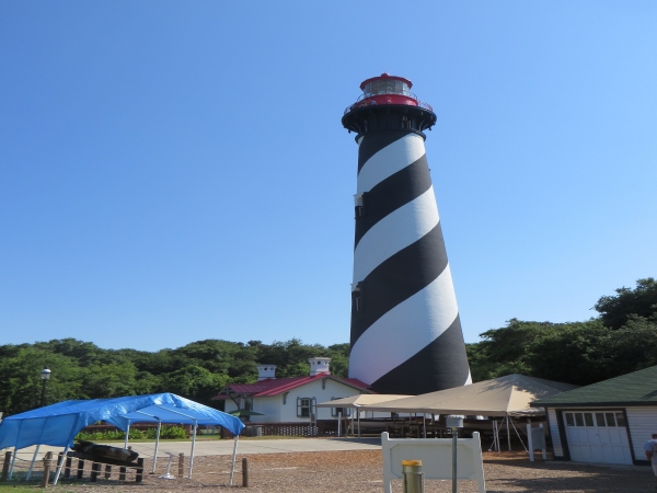
We weren't actually interested in climbing to the top nor paying the admission fee, but took the opportunity to check out the Visitor's Center displays and view the lighthouse keeper's house … pretty nice digs!
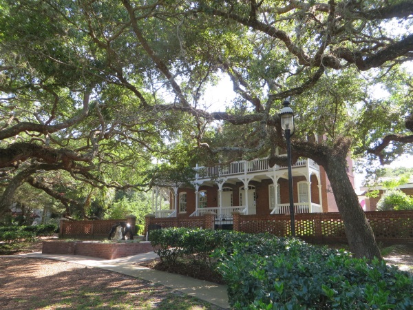
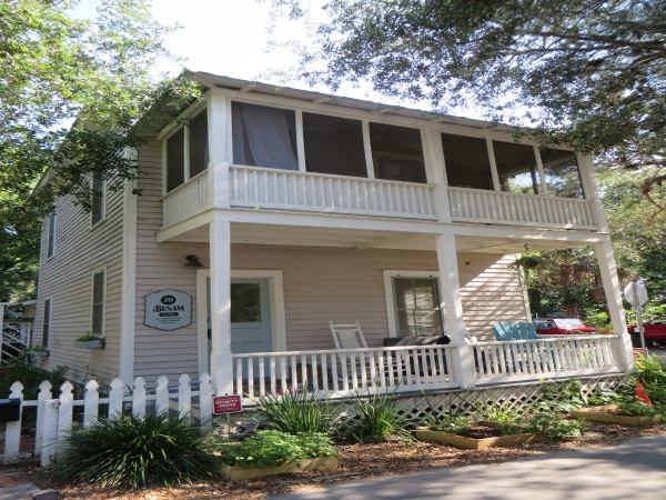
Old clapboard houses in the Lighthouse Park neighborhood were lovely with thick, verdant foliage and flowering bougainvillea and hibiscus adorning the yards. Gardenias and magnolias were in bloom, too, and the tree-lined walk was as pleasant to the nose as it was to the eyes.
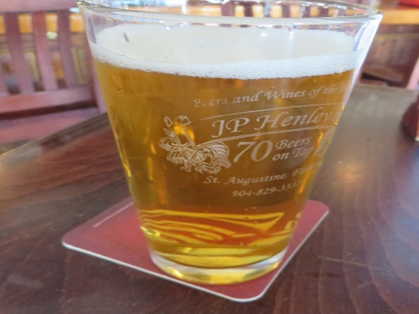
Back on A1A, we were hot and sweaty as we trudged back along the road and across the bridge. J. P Henley's waited for us on the other side, promising cold beer and a great place to cool down after a most enjoyable 3-mile walk.
