Appreciating Longitude -Thanks, John Harrison!
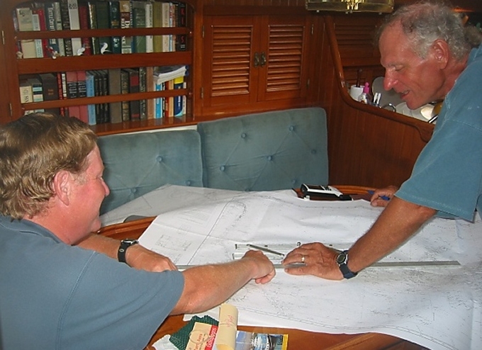
/We use lat/long (latitude/longitude) coordinates all the time on our GPS and chartplotter, but give their calculation little thought. We still have paper charts aboard and even a sextant, but rarely use either one. When passage planning nowadays, we usually place a starting point on the chartplotter and an end point, then check out carefully what's between the two and modify the course accordingly. Bing, bang, boom. No major calculations required. Before the chartplotter, we plotted on the paper charts by hand using dividers and a parallel ruler. It was time-consuming, but nothing like taking noonsites and using a sextant
John Harrison (1693-1776) was an 18th-century clock maker who created the first chronometer (clock) accurate enough to be used to determine longitude at sea—an important development in navigation. It was his life-long work, spanning 31 years of experimentation, trial and error. It's been our experience that knowing our east-west (longitude) position is just as important as knowing our north-south position (latitude).
Determining longitude on land was fairly easy compared to the task at sea. On land, every condition could be suited to the task: a stable surface to work on, a comfortable location while performing the work and the ability to repeat determinations on your choice of days made for reasonable accuracy. Size of instrumentation wasn't an issue and care and protection of delicate instrumentation could be monitored. Now imagine a rocking, rolling, wet, cold ship on an overcast day with no accurate timepiece trying to accomplish the same task.
The problem was considered so indomitable that in 1714, under the reign of Queen Anne, the British Parliament passed the Longitude Act, established the Board of Longitude and offered the Longitude Prize to anyone who could find a simple and practical method for the precise determination of a ship's longitude. The prize of £ 20,000 is comparable to £ 2.5 million ($3.7 million) today. They were serious. John Harrison received grants along the way, but according to several sources, the “prize” was never officially paid out.
Great Britain wasn't the only country trying to solve the problem. France, Spain and Holland also offered prizes for a practical solution to determining longitude at sea. Due to the international effort involved and the scale of the enterprise, it represents one of the largest scientific endeavors in history.


If you haven't read the book Longitude: The True Story of a Lone Genius Who Solved the Greatest Scientific Problem of His Time, we think you'd really enjoy it. It's not a dry read, but rather a best-seller about Harrison's obsession with creating a precise chronometer and the trials and tribulations of achieving his goal. His contribution to navigation accelerated the Age of Discovery and Colonialism. It's also on DVD and quite well done.


So, as we continue our long passage north and west, we thank John Harrison for contributing so much to navigation and making it possible for sailors to get where they want to go. Today's sailors have it pretty easy.
A bit of trivia … According to Wiki, Harrison came in 39th in the BBC's 2002 public poll of the 100 Greatest Britons.


