Along the Intracoastal Waterway
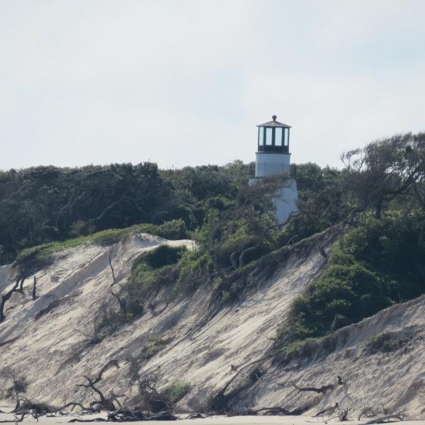
/Day 2 – 637 nm to go We woke to a glorious, clear-skied morning on the ICW. We could really get into this. We were anchored just off the National Parks dock and Cumberland Island begged exploration, but we said no this time. We were anchor up by 0630 and on our way heading up the Cumberland River. David had plotted the day's course the night before while I prepared dinner, so we were ready to go. The water was flat calm, nary a ripple to be seen. The Little Cumberland Island Lighthouse poked its head into view as passed the north end of the island.
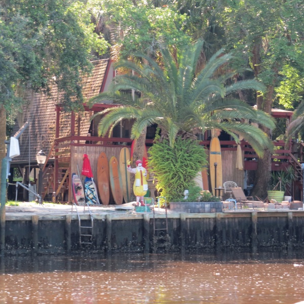
We pass by clusters of home from time to time along the canals. Some are palatial and others just river shacks. Some of the owners have a sense of humor.
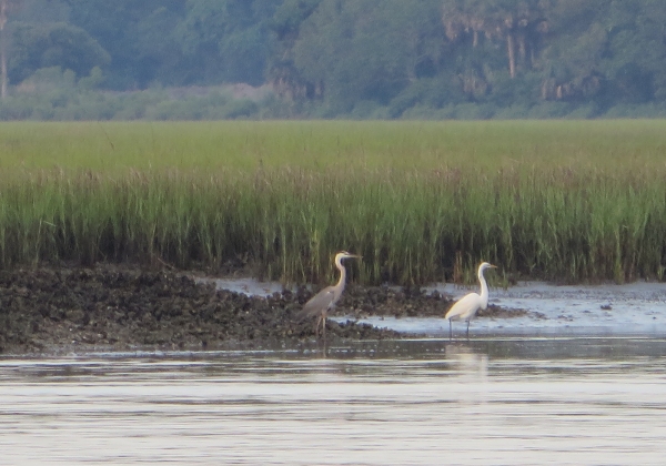
Mostly though, the scenery has been pastoral and pleasantly ever-changing. Bright green grassy banks line the rivers of these Georgia marshlands. The day turned hot and sultry by 10am and we were thankful for light cloud cover and a slight breeze. Herons and egrets, just a couple boat lengths away wading along the muddy shores, ignored us as we passed, more interested in their morning's breakfast.
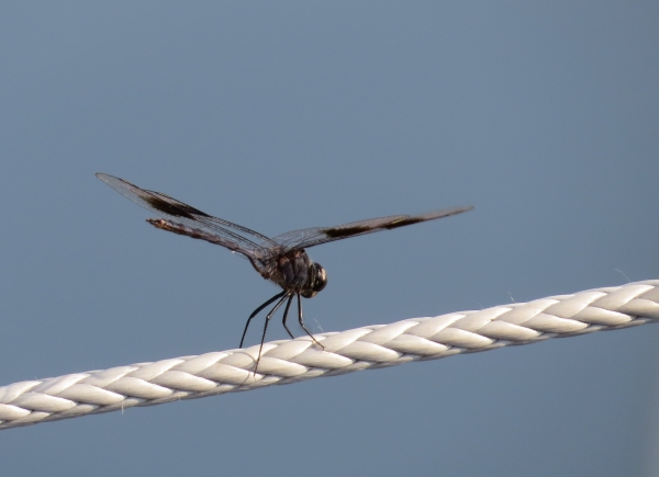
Dragonflies, butterflies, bees and huge horseflies hitched rides with us throughout the day. One dragonfly, the size of a hummingbird, lighted on the lifelines. I snatched my camera for a picture, but the “change battery” light came on. Figures. I scampered down below, got a new battery, changed it and came back up. Believe it or not, that vain dragonfly was still there, just waiting for his photo to be taken.
Each day presents a minor adrenaline rush with its shallows and narrow canals. These are not life-threatening nor boat-wrecking events. The worst that would happen is we would be probably be grounded in mud and sand. Still, we're used to traveling on the ocean where the depth meter seldom registers. Watching the depth meter plunge below 10, then 9, then 8 feet is unsettling with our 7.2' draft. Day 1 the major bugaboo was the Fernandina Shallows where we saw (and felt) a 7' spot under the keel. We plowed through the few feet of mud and felt as if we had done a bit of dredging for sailors in our wake.
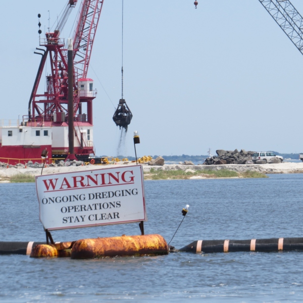
Today's tough spot was the Jekyll Creek along the west coast of Jekyll Island. Once again, the depth meter plunged and we were close enough to the dock at the Jekyll Island Marina to nod hello and say a few words to the folks moored there without raising our voices. Because of the ongoing movement of the river waters, silting and shoaling are constant issues and though we see dredging operations regularly, it never seems to be quite enough.
Around 3 pm, the VHF wailed a violent storm warning for the local inland waters. Though there was some cloud build-up, we never saw a drop of rain nor an increase in winds. We counted ourselves lucky for dodging yet another weather bullet.
We're fascinated by the names of some of bodies of water we're passing through like the Little Mud River (hmm!), Buttermilk Sound, Old Teakettle Creek and DoBoy Sound. We wind and wend our way through this maze of waterways. Thank goodness for GPS.
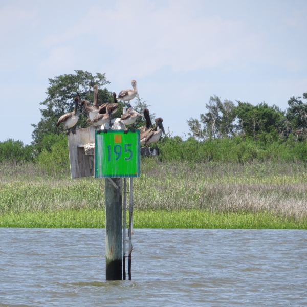
Pelicans were out in force today. They'd careen past us at top speed, dive into the water, swallow their catch (or perhaps just a lot of river water) and then fly off again. When they weren't fishing, they congregated wherever they could for some socializing. We wondered just how many more pelicans could have fit on the top of this marker.
It was nearly 5:30 pm when we quit for the day. We found ourselves a pleasant little anchorage out of the current in the Crescent River just off the main channel. With the engine off, the quiet was nearly palpable. It was hot and humid below, but sitting in the cockpit after a long day, enjoying a cold beer (yes, there's still some ice left) was heaven.

