Planning our Indian Ocean Passage
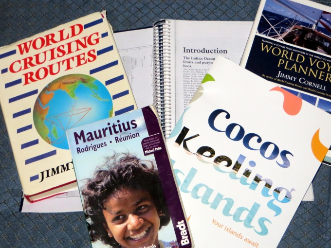
/Several people have asked what resources we use for making a long passage, in particular, our 6,100 nm across the Indian Ocean. There are several sources for good information. We usually start by looking at Jimmy Cornell's World Cruising Routes
Once we've determined the best time to go, we start researching what's along the route and the distances between them. The distances provide us with an idea of what we'll need for provisions, supplies, fuel, etc. Noonsite is a great on-line resource for what to expect in each country we visit. Just click on the country of interest and there's Customs/Immigration info, marina info and much more including any updated info from recent visitors. We find it invaluable.
Having a tentative plan allows us to direct our attention to identifying possible cruising guides and other ancillary, helpful information. For this trip we had picked up a used copy of the Indian Ocean Cruising Guide
I always try to find yacht arrival information specifically provided by each country. As an example, when I googled “Mauritius yacht arrival”, the Mauritius Revenue Authority website popped up immediately. It confirmed what I already knew about arrival requirements, but getting current information “from the horse's mouth” as it were, is important. Some countries require pre-notification of arrival (like Australia, New Zealand, Fiji) and others prefer that all paperwork is completed before arrival (like South Africa, Australia, New Zealand). I've downloaded all the forms we'll need to complete before arrival.
When we're absolutely sure of the sailing plan, we purchase the electronic charts … two sets. One for the chartplotter (Navionics Gold) and also Navionics charts for the iPad app. We also picked up the small scale paper charts of the Indian Ocean … just in case. While we still have internet, we also collect and save Google Earth satellite views of each harbor and anchorage we will be visiting to augment our digital charts. We had digital pilots aboard already that provide wind roses and currents for easy referral as necessary.
Having a travel guide like Lonely Planet aboard is great for once we've arrived at a port of call. I was fortunate enough to obtain a used copy of the Bradt Mauritius travel guide from another yachtie which also includes Rodrigues and Reunion and I've already begun reading it … like a novel. What's to see? What's to do? What can't be missed?
By the way, I found a great free travel app called Maps With Me for the iPad. It allows you to download any country in the world and provides great detailed maps including the location of supermarkets and ATMs and once downloaded, it can be used offline. It's a gem. I've already downloaded all the places we'll potentially be stopping. Even little Rodrigues Island and Reunion are included.
Don't forget the courtesy flags and the Q-flag! The Australian flag works for Cocos Keeling. I made a new flag for Mauritius/Rodrigues already. Our old French flag will work for Reunion and I dug out the South African courtesy flag from 2007 which will work just fine for our upcoming visit. I put the yellow Q-flag with the other flags we'll be needing all in one zip-loc ready to fly as soon as we arrive.
There you have it … we're ready to go. Now … make sure the boat is shipshape, the provisioning is done, the fuel's topped up …


