After a rolly, but somewhat restful night on our St. Helena mooring, we received a radio hail from Port Control at around 0830. The ferry was on its way with the Customs, Immigration and Harbourmaster officials to check us in. How convenient … they were coming to us and at a most civilzed hour! Paperwork was completed in record time and we were legal to head ashore. We headed back on the ferry with the friendly officials.
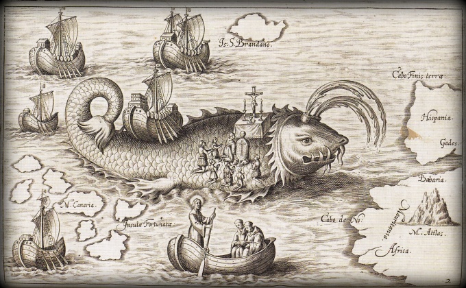
Portugese explorer, Joao da Nova commanding four caravels on his return from India sighted St. Helena for the first time and landed on 21 May 1502. It was Emperor Constantine's mother's (Helena) birthday, and thus, the island was named St. Helena. The Portugese lost interest and the Dutch and English vied for the island. In 1659, the English East India Company annexed the island, a castle was built and Captain Dutton was commissioned “to settle, fortify and plant”. I found an old engraved map of the “Sancta Helena” from Petrus Bertius' Tabularum Geographicarum dated Amsterdam 1616. Luckily, we had better charts for our passage, but considering it was drawn in 1616, this wasn't bad.
It's a step back in time when you land on St. Helena Island. The ferry lands at the 19th century waterfront. Passengers are required to leap off the ferry to the cement wharf with the aid of a Tarzan-like rope. It's a trip unto itself.
We walked along the vintage wharf. Historic blue and white-washed limestone buildings are built into the side of massive cliffs and still used today. We saw pics of the wharf in 1902 and other than more advanced equipment, the physical aspects of the wharf and buildings had changed little. The wharf was bustling with men loading and unloading containers. The island's only supply ship, the RMS St. Helena, was due the next day and there was much to do to prepare for her arrival, according to Steve, the harbourmaster.
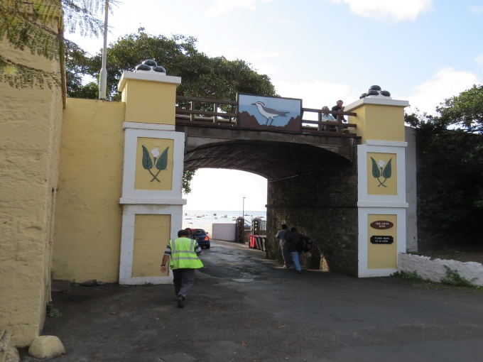
The cliffs provide the backdrop for the island's capital and only town, Jamestown. One enters Jamestown from the waterfront along a single road, across a narrow bridge and via an archway through a 25' thick, fortified wall built in 1832.
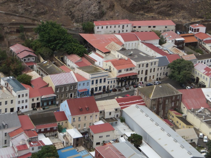
You can see Jamestown's main street rising before you as soon as you pass through the archway. It's a most pleasant scene with 18th and 19th century buildings lining the wide boulevard. For a small island, there are lots of cars which were parked along the streets and in a designated parking island in the middle of the street that separates the one way traffic flow on each side. It's British … people drive on the left. We love the architecture and feel of the place and decided we needed an entire day for just wandering along side streets and into alleys to see what we could see.
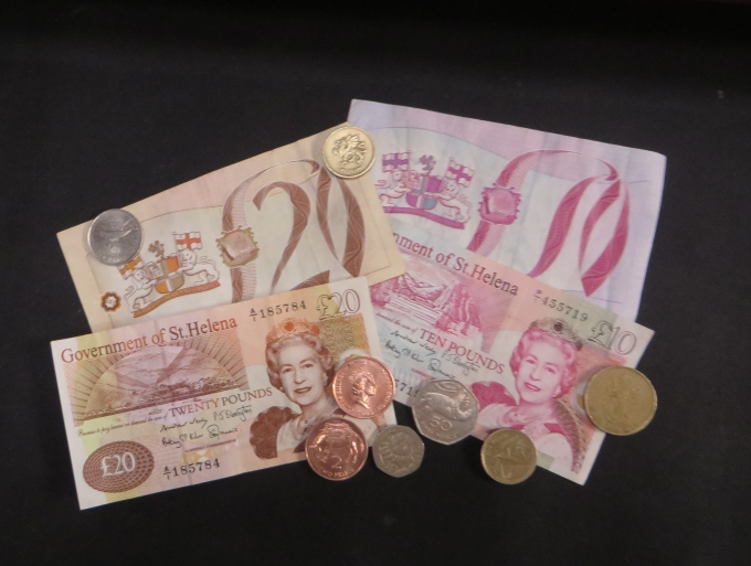
Our main objectives of the day were to get local cash (St. Helena Pounds - £), find our friends Gilbert and Joan to let them know we'd arrived, figure out communication options and pay our landing fees. We found Joan at work and received a warm welcome, but there was little time to tarry. The bank was closing at Noon. There are no ATMs on the island and credit cards are not usually accepted. The line at the bank was long … queuing out the door and down the street. After nearly an hour, it was our turn. We were successful in withdrawing funds and, feeling flush, immediately headed to the local markets, Thorpes and The Star, to see what was available. Fresh bread and some locally grown broccoli topped the list of purchases, but the stores were actually quite well stocked. Things are available, but quite understandably expensive. It was a mighty change from a 12:1 exchange rate in Namibia to a .69:1 exchange rate here. Ouch!
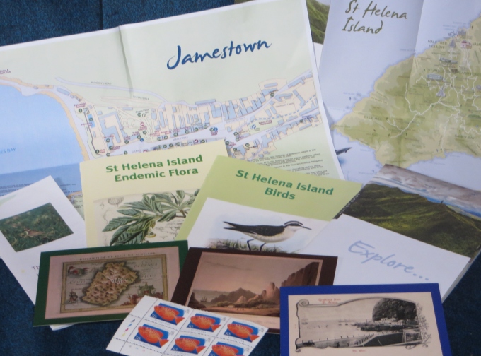
We stopped at the friendly Tourist Info Office and met Val. We picked up brochures and island maps and asked Val abour hire cars. They were more reasonable than we expected so we booked one for a couple of days allowing us to roam around the island independently over the next few days. Val also explained our limited options for internet communications. There are several wifi hotspots around town at £6.60/hour (~US$10). We could also buy a phone card from the local phone company for international calls at £1/minute. We spotted several “phone booths” around town … talk about a step back in time.
We settled on paying for internet by the hour at Anne's Place, a well-known yachtie and local hangout, where we had lunch and picked up email. In the future. this meant hauling our laptop into town on the days we wanted to do internet in order to send pics and do any amount of internet research. The iPads just don't cut it for that. It wasn't particularly convenient, but better than nothing. We're definitely spoiled.
We paid our Immigration fees (£17/pp) and then our port fees (£40). There would also be £2/pp/per day for the ferry and £2/day for the mooring fees due before leaving. The cost of visiting St. Helena has gone up significantly since our last visit, but no complaints. The pleasure of being here far outweighs the cost.
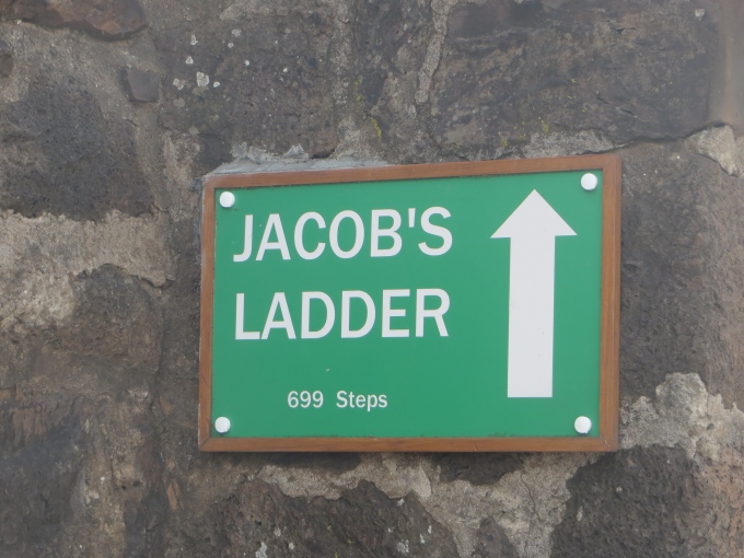
We walked through the Castle Gardens and then checked out the hours for the island museum across the street. We got a good look at Jacob's Ladder. Yikes … 699 steps! David's intent on climbing it. I don't mind watching … we'll see how that goes.
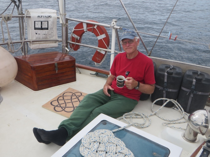
It was mid-afternoon when we caught the hourly ferry back to Cups. It was a pleasure sitting in the cockpit in shirt sleeves (yes, it's finally warm) and sipping our afternoon cuppas.
With lots to see and do here, the evening was spent reading brochures and making our island plans. We're all going to enjoy this adventure … guaranteed!