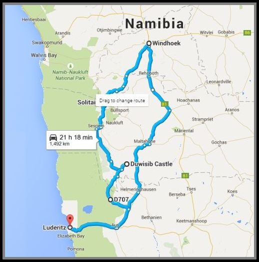
The D707 - Namibia's Dream Road
/… and home to Nine of Cups
We've heard it called the Dream Road, the Garden Route and the most scenic road in all of Namibia. It was highly recommended by all of our Namibian friends as a “must-drive” on our return trip to Lüderitz. How could we ignore the beckoning call of the D707? We couldn't.

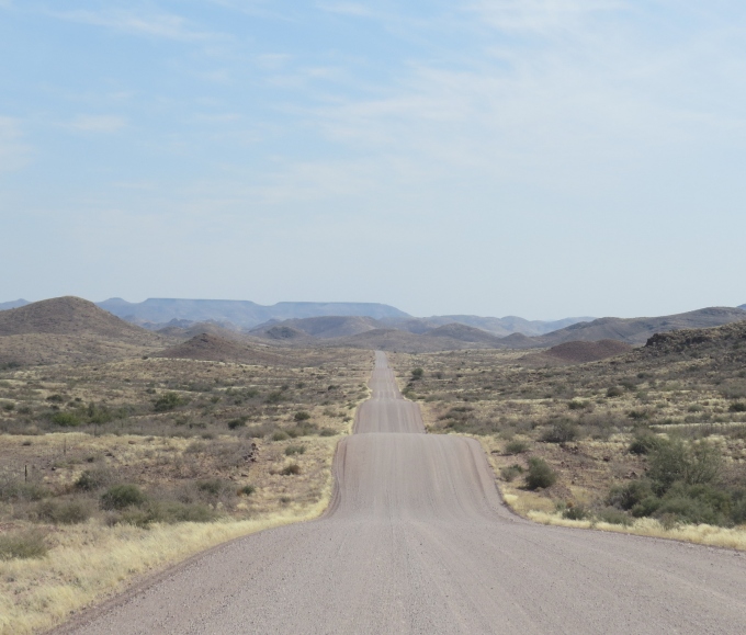
From Duwisib Castle, we continued on to the tiny roadhouse at Betta. Beyond dusty and dry, the best word to describe the road was “undulating”. There were more dips in this road than a carnival ride and it hugged the terrain exactly … up and down, up and down, up, way up, way down.
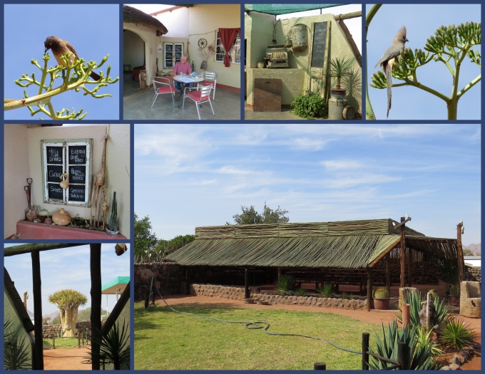
We stopped in Betta … another small dot on our road map and filled up with petrol. It would be the only stop until Aus. It's not so much the actual mileage in Namibia, it's the condition of the roads and the fact that there's absolutely nothing in the way of services for such long stretches. We rarely met another car on this entire leg of the trip. It's appealing, but somewhat eerie … not unlike sailing alone across an ocean. We got a cup of coffee at the cute little cafe in Betta, checked out the barren campsite and we were on our way.
The landscape changed rapidly as we headed off the “main” road onto the D707. The signpost seemed to indicate lots of activity on this road, but we saw nary a car nor a structure. The mountains were striated in geologic, colorful splendor and the bush was replaced by rocks and gravel. Miles and miles of fence bordered each side of the road and every once in awhile we'd pass over a cattle guard grate, but we never saw any cattle.

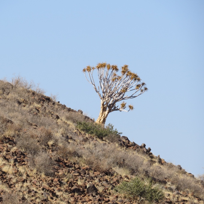
A road grader had been by sometime in the recent past and a long, deep furrow of sand was left in the center of the road awaiting his return trip to smooth it all away. The wind was already whipping it up and blowing it back into place. A solitary quiver tree jutted out of the hillside at an impossible angle and we wondered how it held its ground in such a dry, rocky place.
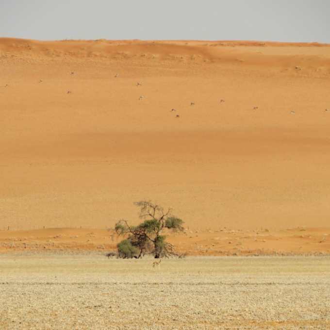
The Tiras Mountains edged closer and closer on our left and huge red dunes appeared on our right. A stiff east wind was blowing now … hot and dry off the desert and we watched the temperature rise into the 30s (high 80s). Oryx dotted the red dunes in the distance and a springbok stood by a lone camelthorn tree.
The myriad of desert colors were surreal … blue sky, red earth, browns and yellows and greys … greens, lavenders and pinks.

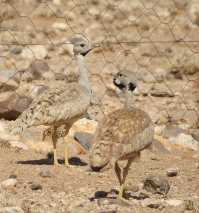
We saw some odd-looking korhaans on the side of the road … just pecking around at the dry sand, rocks and nothingness that seemed to abound here.
Spread at great distances apart, there were farms that also accommodated guests to augment their income. We saw the entrance to the farms, but never the farms themselves. They were always 10-15 km off the road … much too long a detour for weary, dry travelers who wanted to make it back to their boat by the end of the day. We saw a rusty, old, green tin box mounted on a stand by the side of the road and stopped to see what it was. Apparently, folks leave messages in it for others to find. “Johann … meet you at Mooifontein.” Hope Johann found it!

The D707 is only 123 km long (~76 miles) … it just seemed longer. Scenic? Absolutely! Rough, dry, dusty, isolated … you betcha! We joined the C13 heading back to Aus and on to Lüderitz. When we saw the horses, we knew we were on the homestretch. Doris had told us that the local custom for Luderitz folks was to pour out the last of their water at a couple of trees that had been planted near a roadside stop. We complied with local custom.

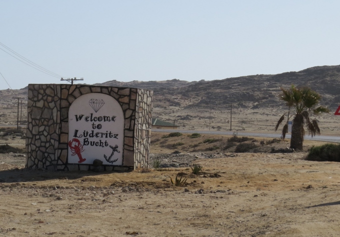
We were elated when we saw the Welcome to Luderitz sign. It's great to go and always great to get back.
Our total trip … about 2000 km (1240 miles) including all our little side trips. Not bad for a couple of old salty sailors. But it's good to be home.