Diaz Point
/A lighthouse, a cross and birds galore
We wanted to make the most of our rental car, so when we saw the gravel road turn-off for Diaz Point, there was no hesitation. It's about 20km (12 miles) on a dusty, washboard road out to Diaz Point. The road snakes its way around the lagoon, over hills and outcrops and finally ends at the tip of the Lüderitz peninsula.
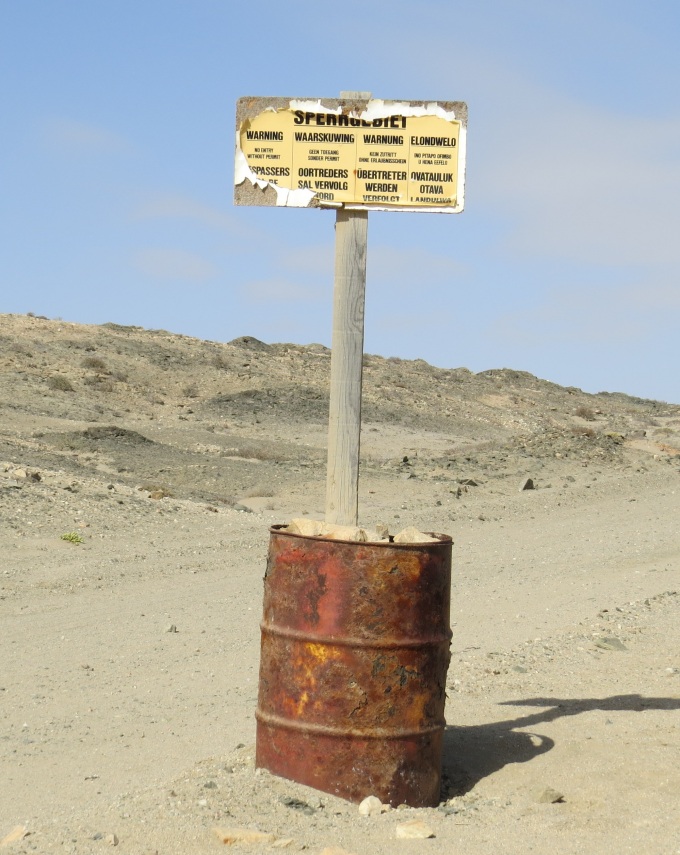
This is Sperrgebiet territory (Diamond Forbidden Area) and signs warned us rather regularly, that exploring off-road was not to be tolerated. More about the Sperrgebiet in a later post. Suffice it to say, we stayed on the prescribed route.
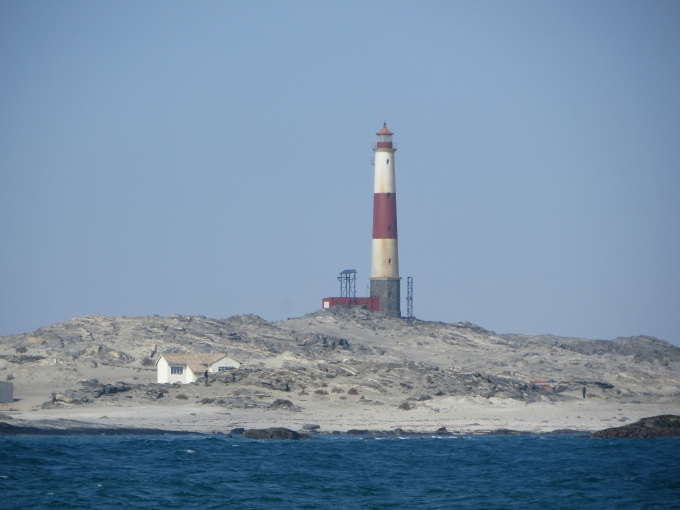
We had viewed Diaz Point and its lighthouse from the seaward side as we'd rounded the point and approached Lüderitz on our arrival and we were looking forward to a close-up view from land.
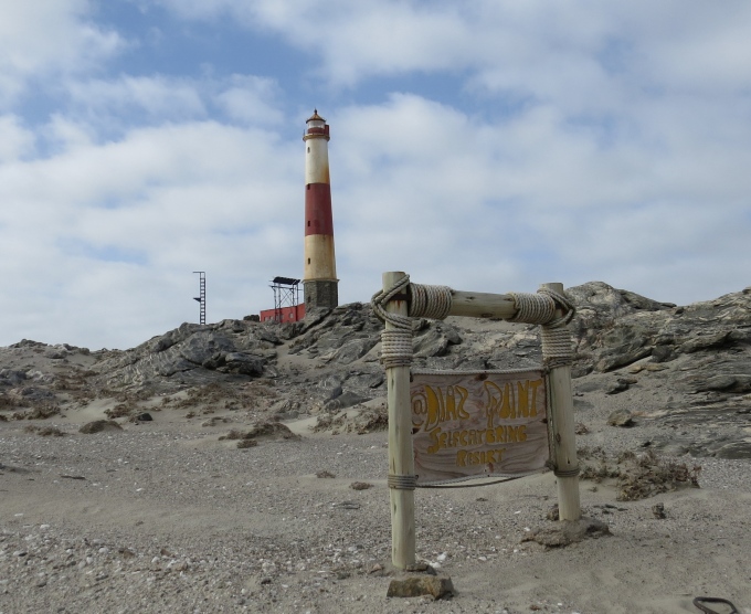
Built in 1915, this red and white horizontally-banded lighthouse stands 174' (53m) above sea level. It is one of only three active lighthouses in Namibia and maintained by Namport, Namibia's national port authority. Up close, it's in need of some rust inhibitor, but it's scenic nonetheless. The lighthouse is closed to the public, so this was as close as we were going to get.
Beyond the lighthouse, is the actual point where Portuguese explorer and navigator, Bartolomeu Dias, landed on July 25, 1488, St. James Day. The cross sits high on a headland. As was the Portuguese custom, Dias erected a padrão, a large stone cross inscribed with Portugal's coat of arms, claiming the land for Portugal and dedicated to São Tiago (St. James).
The original cross stood for centuries weathering the Atlantic sea and wind and several visiting ships recorded its presence during the 17th -18th centuries. By the mid-19th century, the cross was recorded as falling to pieces. Based upon an original sketch drawn by Captain Thomas Bolden Thompson of HMS Nautilus in 1786, a new cross carved of Namib dolerite by sculptor Paul Petzold was commissioned to commemorate the 500th anniversary of Diaz's landing in 1988.
A wooden causeway once provided access to the monument, but had long ago fallen into disrepair. It was now dilapidated and condemned. Instead, we picked our way carefully across mossy bog and slippery boulders via a rather precarious route, and despite wet shoes, we managed to cross and climb decrepit cement steps leading to the top of the hill.
At the top, a small stone platform provided panoramic vistas of the pounding Atlantic surf and a close look at Diaz Cross. The wind was so strong, it nearly took our breaths away and we worked hard to stay anchored in place while we surveyed the views.
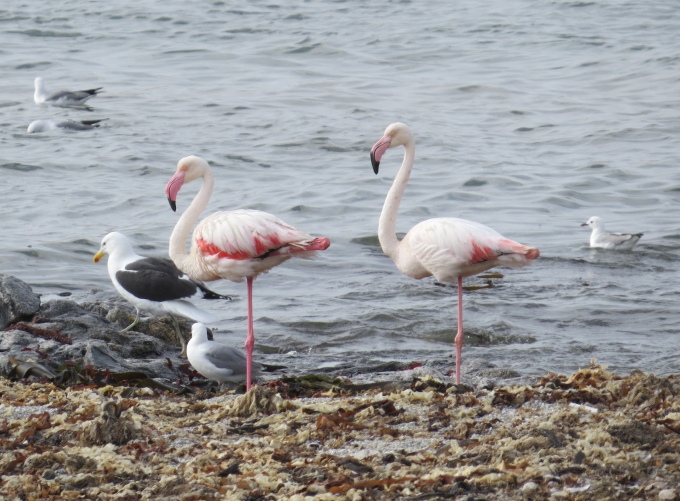
The descent was easier than the ascent and we scrambled back down to a little nearby beach. We could hear sea lions (Cape fur seals) in the distance, but didn't see any. The little beach was chock-a-block full of birds. Gulls rode the waves into shore and a pair of greater flamingos each balanced on a single leg while tucking the other under their feathers. Oystercatchers and three-banded plovers looked on, but kept their distance a bit further up the beach.
We noticed on the way out that someone with a sense of humor had erected a “station” for weather forecasting.
Dusty and dry, we headed back to town, careful not to stray into the Sperrgebiet. Yikes! We wonder what they'd do to us if we stepped into that Forbidden Territory? Might need a bit more research.


