Farewell, Doris and Over the Pass
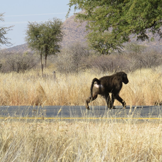
/With lots of hugs, kisses and mutual thank yous, we bade farewell to Doris at Windhoek's tiny, compact Hosea Kutako International Airport . Saying goodbye to new “old” friends is always a bit sad. Chances are we'll never see her again though we'll surely keep in touch. The airport is about 40km (24 miles) outside of the city and there were several unexpected pleasures en route … starting with wart hogs and baboons crossing the highway.

On the way to the airport, I had noticed a sign for Taxidermy/Souvenirs with a “stack” of sculptured animals advertising the shop reminding me of the Bremen Town Musicians
Around the same time as the city of Windhoek was founded, Windhoek's three castles, Heinitzburg, Sanderburg and Schwerinsburg were built by Wilhelm Sander. Originally built as private residences, the castles still stand today … one is a hotel, one is a private residence and one, Schwerinsburg, sits proudly on a hill overlooking the city and is the residence of the Italian ambassador to Namibia. Nice digs, Ambassador!
It didn't take long to get back to the city and once we left the main highway, the paved road abruptly ended and we were back to gravel roads again.
The road was hot and dusty, but never boring. We saw troops of baboons walking along side. A steenbok darted out in front of us and a pair of kudu jumped effortlessly over a cattle fence when we startled them.
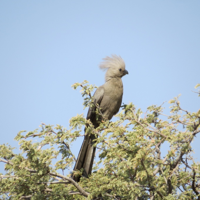
A grey lourie patiently posed in a tree long enough for me to snap his picture.
An unfortunate Hartman Mountain Zebra found its end near a dry river crossing. Its bones were mostly picked clean, but enough remained of its hide to identify it.
We were heading to the Namib Naukluft National Park to the east. Windhoek sits on the Khomas Hockland plateau and the only short route to the west coast is via a mountain pass. There are three well-known, frequently used passes and since we got a rather late start, we decided on the shortest route, the Spreetshoogte Pass, which also happens to be the steepest pass. Our route would take us 230 km (140 miles) over gravel roads, over the pass to a tiny dot on the map known as Solitaire. We figured on 5-6 hours since we were limited to traveling between 50-60 km/hour (30-40/mph) on steep, rough roads. A goshawk stood sentry on top of a road sign pointing to the pass and he gave us the eye as we passed. We wondered if he knew something that we didn't.
As it turned out, maneuvering the pass was a piece of cake. We were anticipating Colorado 4x4 roads and, in actuality, though some parts of the road were rough, in general they were in good condition. The steepest parts had been paved. The view from the top was outstanding.
The descent was more thrilling than the ascent with switch-backed hairpin turns and more hills and dips than a roller coaster.
On the other side of the pass, the gravel road continued, and we neared our destination. We watched the sun begin to dip behind the horizon, grazing gemsboks silhouetted on the hillside. It was a very fine day to be on the road in Africa.


