Coronado National Memorial & the Goldfield Ghost Town
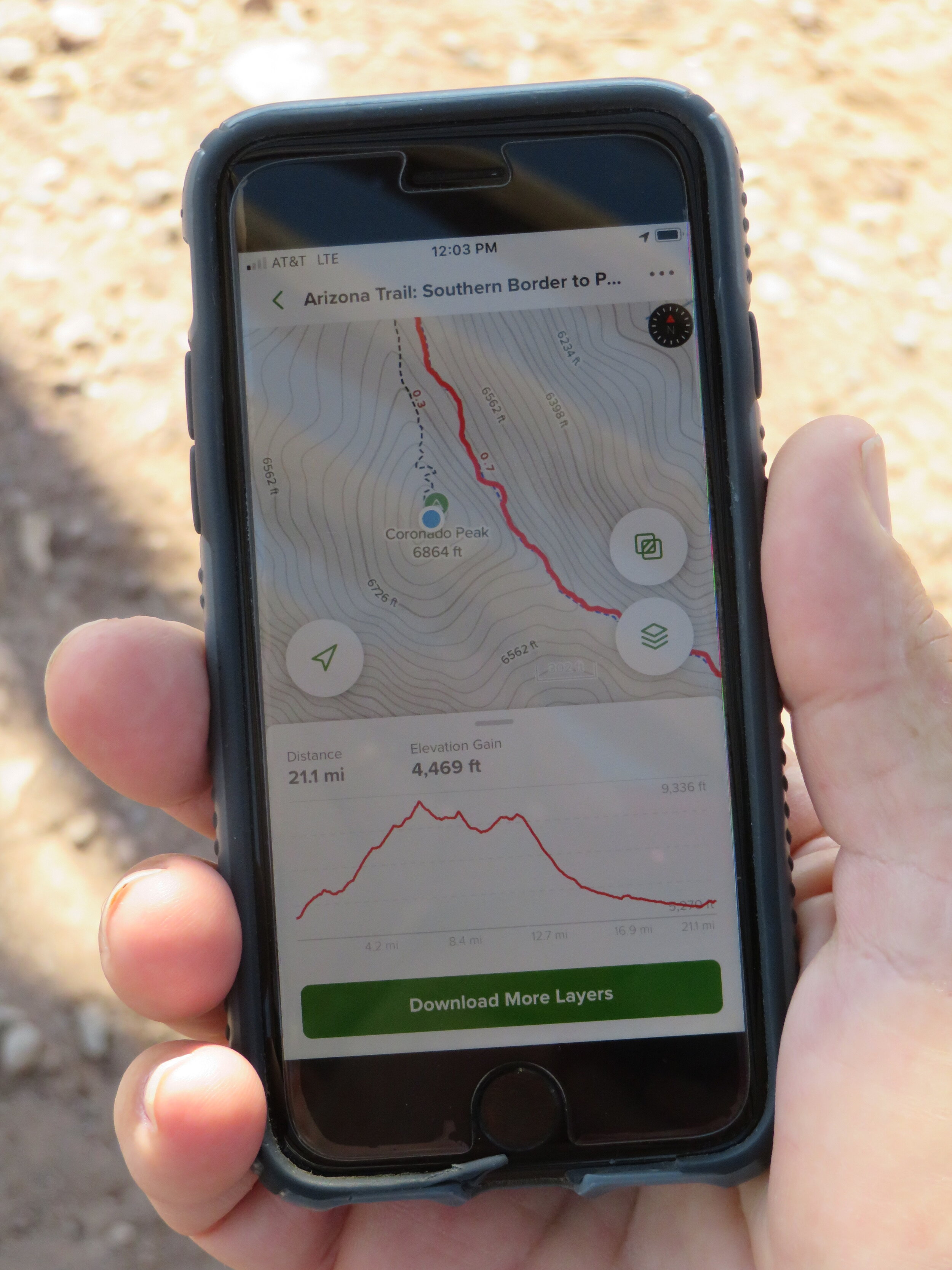
/After visiting Nogales and catching a sight of ‘the wall’, we headed north again. David was interested in walking on the Arizona Trail (AZT), something we’ve done in bits and pieces over the past couple of years. One option was to walk to the Mexican border from the Coronado National Memorial. Siince we absolutely love our national parks, this seemed a perfect opportunity to walk on the AZT and visit the memorial. David will regale you later with our walk on the AZT, but the visit to Coronado was equally pleasant.
We planned to check out the Visitor Center, but it was closed. However, brochures and info boards available outside the center provided a good description of the park and its significance. If you remember your grade school history, Spain had claims to territories in much of South and Central America as well as what is now the southwest USA. Coronado, a Spanish explorer, set out on an expedition in 1541 in hopes of finding the fabled Seven Cities of Cibola. The park lies in sight of the San Pedro River Valley through which the Coronado expedition first entered today’s USA.
Starting up the trail
We drove the switch-backed, serpentine park road climbing steadily to the Montezuma Pass Overlook. The views were great as we walked along Joe’s Canyon Trail. We had hoped to continue on to the Yaqui Ridge Trail, but it was closed due to Homeland Security activity.
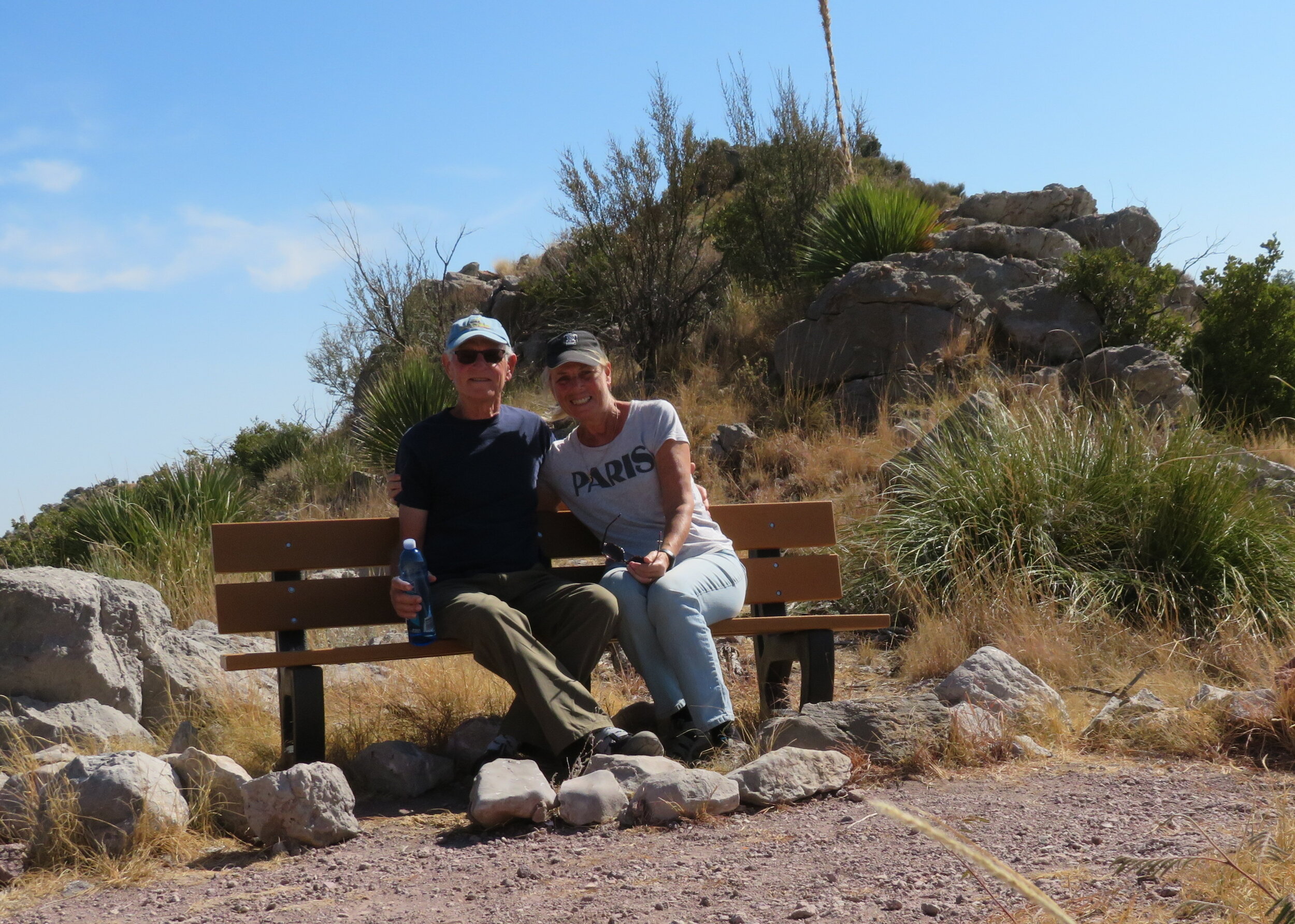
Taking a break since we could go no further due to trail closure.
Views from Joe’s Canyon Trail
We retraced our steps and decided to climb the Coranado Peak Trail to the top of the mountain. This interpretive trail was less than a mile long roundtrip and pretty easy with only an elevation gain of 300’. We could see forever from our vantage point on the 6,468’ summit, with sweeping views of Sonora, Mexico and the San Pedro River Valley.
An extra added bonus… we found a sign-in sheet and a geocache on the top. As is tradition, we took one item (a booklet from the Epcot Food & Wine Festival) and left one item (a small bottle of sanitizer). We scampered down the trail to the car and began our drive back north towards Phoenix. Blue is still not repaired and we had no specific plans for the next day.
The scenic, historical Apache Trail through the legendary Superstition Mountains
I’d read about the Apache Trail- Home of the Legendary Superstition Mountains, in a tourist brochure. Legendary as they might be, we’d never heard of the Superstition Mountains, so we thought we’d do a little exploring. Once a stagecoach and freight wagon route from Mesa to Globe, Arizona plied by Native Americans, miners and cowboys, it’s now a scenic drive loop route with lots of touristy stops along the way.
Welcome to Goldfield Ghost Town
Goldfield Ghost Town was our first stop. According to the Goldfield website ‘Back in the 1890′s Goldfield boasted 3 saloons, a boarding house, general store, blacksmith shop, brewery, meat market and a school house. Just when it looked like the town would outgrow Mesa, the vein faulted, the grade of ore dropped and the town died a slow painful death.’
After lots of noise and smoke, all the gun fighters were dead. They quickly resurrected when it was time to pass the hat.
Though once abandoned, It’s not a ghost town today, it’s a commercial enterprise with free entry and lots of mining-oriented activities (for a fee), shops and old buildings. Lots of folks were in period costume or cowboy garb. We did get to witness a gunfight in the middle of the main street. There were a few visitors, but most wore masks and kept their distance so we wandered around for an hour or so.
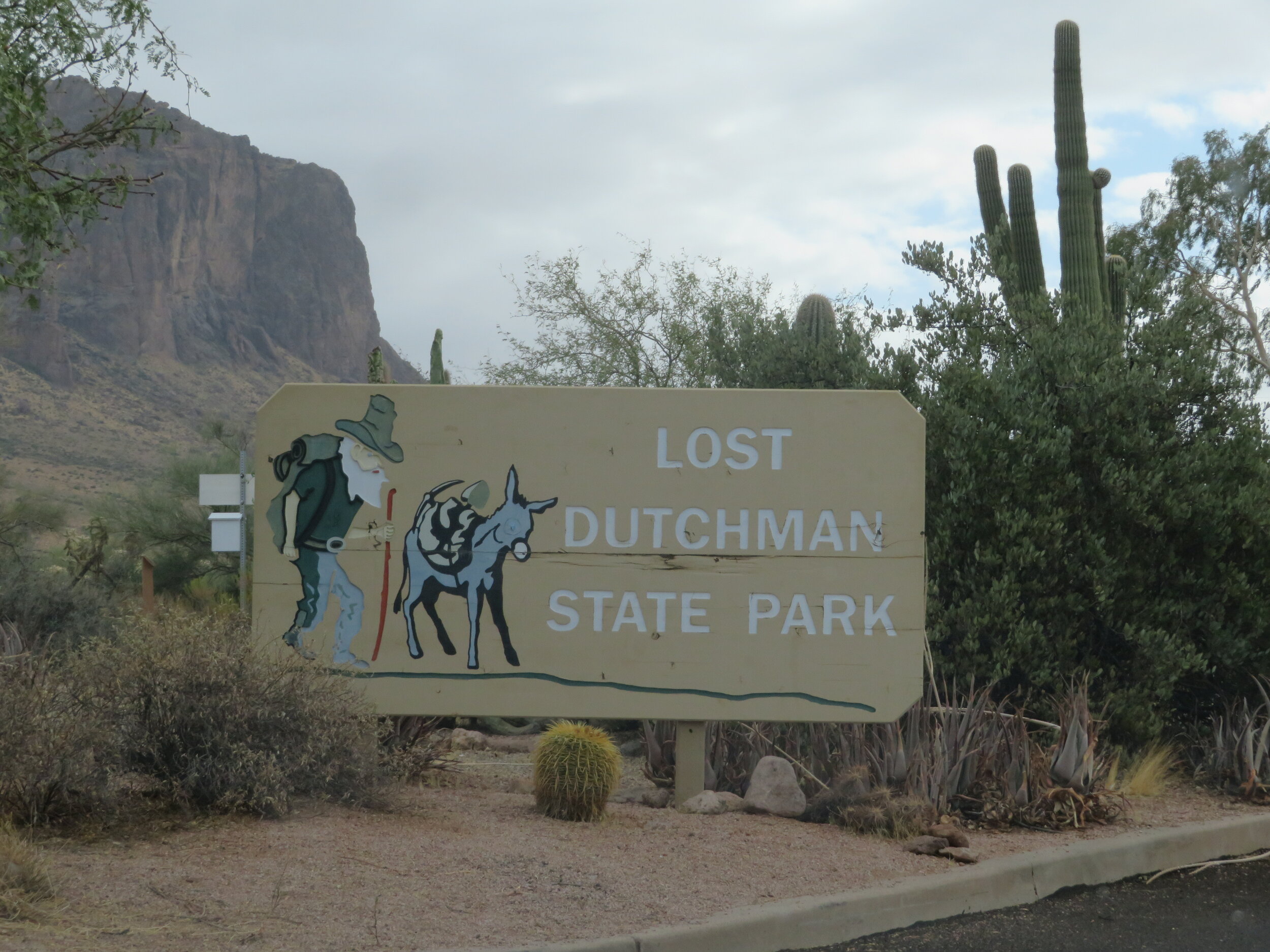
It was still early in the day when we departed the ‘not-so-ghosty-town’ and we were definitely lacking steps for the day. The Lost Dutchman State Park was just up the road and we opted for an hour’s walk on the 2.4 mile Treasure Loop Trail.
The park has an interesting history based on the legendary Lost Dutchman Mine. According to Wiki, the ‘Lost Dutchman is perhaps the most famous lost mine in American history. German immigrant, Jacob Waltz (c.1810–1891), purportedly discovered a rich gold mine in the 19th century and kept its location a secret. "Dutchman" was a common American term for a German ("Dutch" being the English cognate to the German demonym "Deutsch", and not a reference to the Dutch people).’
We didn’t find any gold mines or any gold, but we did enjoy the hike and scenic views.
We continued on the Apache Trail as far as Tortilla Flat. Unfortunately, the pavement ended beyond Tortilla Flat and the rest of the gravel road was closed. A forest fire in June/July 2019 caused significant damage, then 6” of torrential rains in September 2019 caused mudslides and extensive road damage. We stretched our legs in Tortilla Flat and checked out the campground there, then turned around and headed on to Old Scottsdale for the night.
Tiny Tortilla Flat was the end of the line on the Apache Trail.
We’ll take a quick break in our itinerary for a timely Thanksgiving blog this week and then continue on our way with a tour of Old Scottsdale. Stay tuned… we might even have an update on Blue before the year’s end!


