Scoping out the Cowboy Trail
/We were rearing to go this morning, all bright-eyed and bushy-tailed, in anticipation of scoping out the Cowboy Trail, albeit backwards from the direction we’ll actually ride it. We were on the road by 0800.
The goal of today’s exercise was to scope out the Cowboy Trail and the stops that we planned to make along the way while bicycling. Based on the Cowboy Trail online guide, we concocted what we thought was a reasonable itinerary. The guide provides a list of facilities and services for each town, but it was probably written pre-pandemic. We were interested to know if restaurants and services were still functioning and to get an idea of what to expect, especially hotels, motels and/or, when necessary, campgrounds.
We also checked out the trail itself. Most of it is packed gravel or crushed limestone. Not quite as easy to ride on as pavement, but we think we’ll do just fine. We noted that neither motor vehicles nor cows are allowed on the trail.
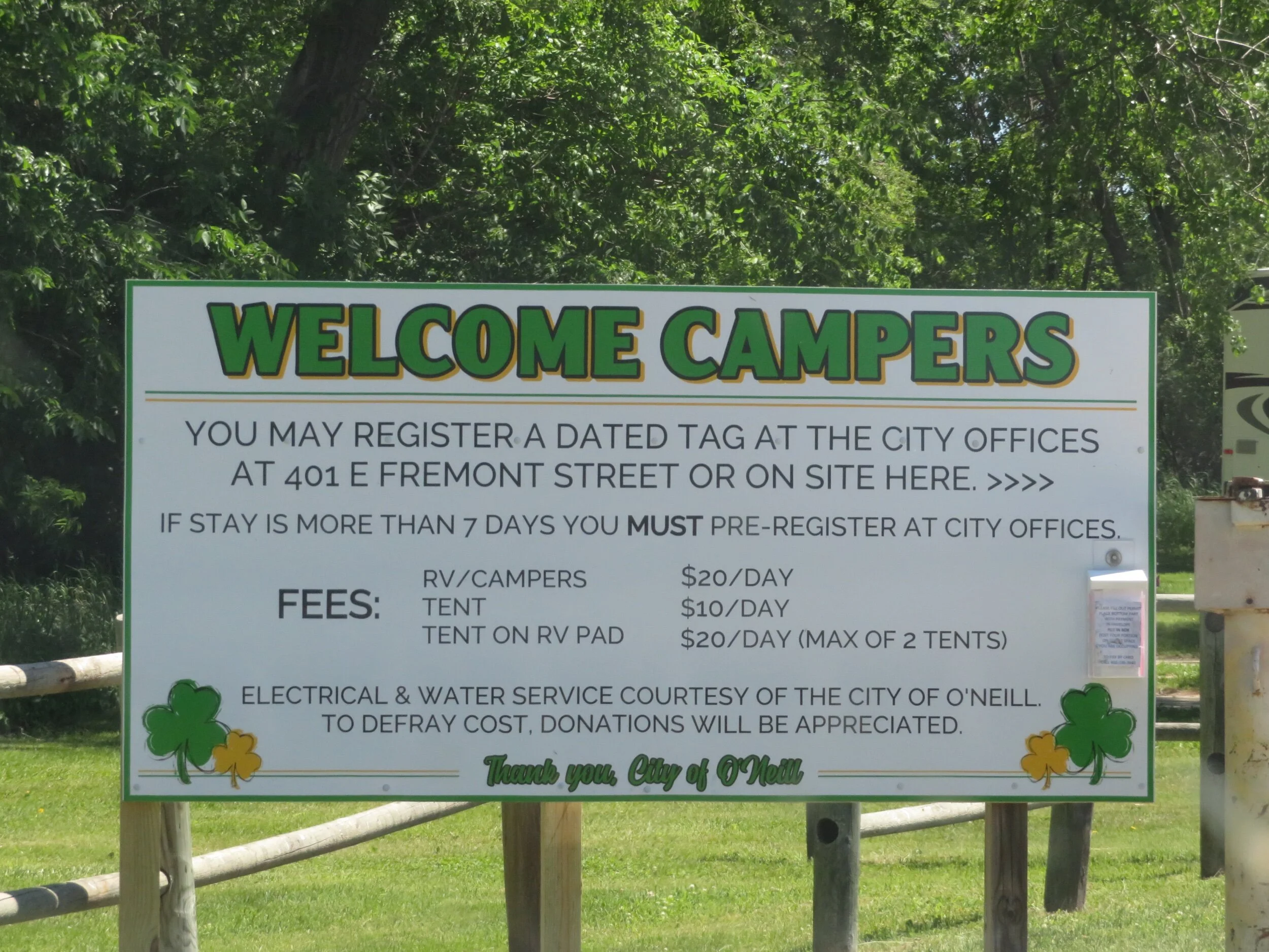
We started in Valentine and then drove east to each designated stop. We checked to see what was open and their hours. We checked out the campgrounds for toilets, water, cost and shady tent sites. We stopped at hotels and motels and asked their room rates and accommodations. Many town parks offer free camping for a night, but had no restrooms or water. One rest area/campground was clearly unmaintained with decrepit picnic tables, overgrown grass, a dry water pump and locked restrooms. When we couldn’t find what we were looking for, we stopped in the local fire station, police station or post office. People were more than helpful.
When we had questions or couldn’t find what we were looking for, we sought out local experts for answers.
There are town stops about every 10 miles, but not necessarily everything we wanted at each. Some towns, for instance, had no restaurants or cafes, but perhaps a bar or a mini-mart... or no food at all. Some had no accommodations. We didn’t t want to camp out any more than necessary since we’d be sleeping on the ground not our comfy cots. By the same token, some of the stops were clearly too far to ride. We decided 20 miles was a good distance each day to start and then we’d increase our mileage as we felt more comfortable. David can ride longer and faster than I, but for some reason, he enjoys my company so he never complains that it takes us longer to get where we’re going.
We checked out all the campgrounds. Sometimes there were motel/hotel options, sometimes not. Since we don’t make reservations till the day before, we also wanted to make sure we had a backup plan in case the local motel/hotel had no vacancy.
Our itinerary looks like this:
Stops Miles Cum miles
Norfolk-Battle Creek-Meadow Grove 17 17 Town Park Cmpgrd**
Meadow Grove-Tilden-Neligh 18 35 Deluxe Motel
Neligh-Clearwater-Ewing 20 55 Two Rivers Motel
Ewing-Inman-O’Neill 20 75 Golden Hotel*
O’Neill-Atkinson-Stuart 28 103 Sisters House B&B
Stuart-Newport-Bassett 22 125 Bassett Lodge*
Bassett-Long Pine-Ainsworth 17 142 Rodeway Inn
Ainsworth-Wood Lake 20 162 Town Park Cmpgrd**
Wood Lake-Valentine 26.5 188.5 Comfort Inn
*Historic hotels **City park campgrounds
We ended our recon in Norfolk having driven the entire trail. It took most of the day. We stopped at the Norfolk Visitor Center and found that we could safely leave the car in the long term parking lot in the trailhead at the Ta-Ha-Zouka Park. A shuttle service exists that can transport from Valentine back to Norfolk, but the price was exorbitant ($410). There were no one-way rental car agencies, but being ever-resourceful, David made a reservation with UHaul to rent a small truck in Valentine with a drop-off in Norfolk.
Now that we’ve done our trail recon and figured out where to leave the car and a way to get back to retrieve it, we feel we’re ready to start riding. David checked and cleaned the bikes and our panniers are packed.
We’ve been checking weather forecasts daily and all looks well for the next week or so, though temperatures are expected to be in the 90s. We’ll be riding early and seeking shade, I imagine, but we’ll take our time and enjoy the ride. Come along with us. You can can enjoy the adventure from the comfort of your chaise lounge.


