

North to Alaska - Exploring Oregon’s Coast
/Day 15 - Powering Up?
It was cool and foggy when we left the campground. We knew the Cape Arago Lighthouse was nearby, but we weren’t sure exactly where. Within a 1/4 mile, our question was answered when a turnout for viewing the lighthouse suddenly appeared. Voila! Since the lighthouse stands on an islet just offshore, this was as close as we could get. It’s the Oregon coast’s newest lighthouse, first illuminated in 1934. The light was deactivated in 2006.

Our house batteries have lost capacity. After a year of use, they’ve sulfated, endured Las Vegas’ extreme heat, and generally lost ther ‘oomph’ even after a day of driving and solar charging. They seemed to be okay when we first left on this trip, but now we’re thinking it’s time for a new battery bank.
Since batteries were on our mind and Eugene seemed to be the best bet for replacements we reluctantly headed inland, hugging the coast for as long as possible. We managed to sneak in one more lighthouse on the coast before making our turn east. The Umpqua River Lighthouse was originally the first lighthouse on the Oregon coast located near the mouth of the Umpqua River. The first lighthouse here was destroyed by a flood in 1864 and the current one was built to replace it. It was first illuminated in 1894 and still shines. It’s now located next to the active barracks of the US Coast Guard.

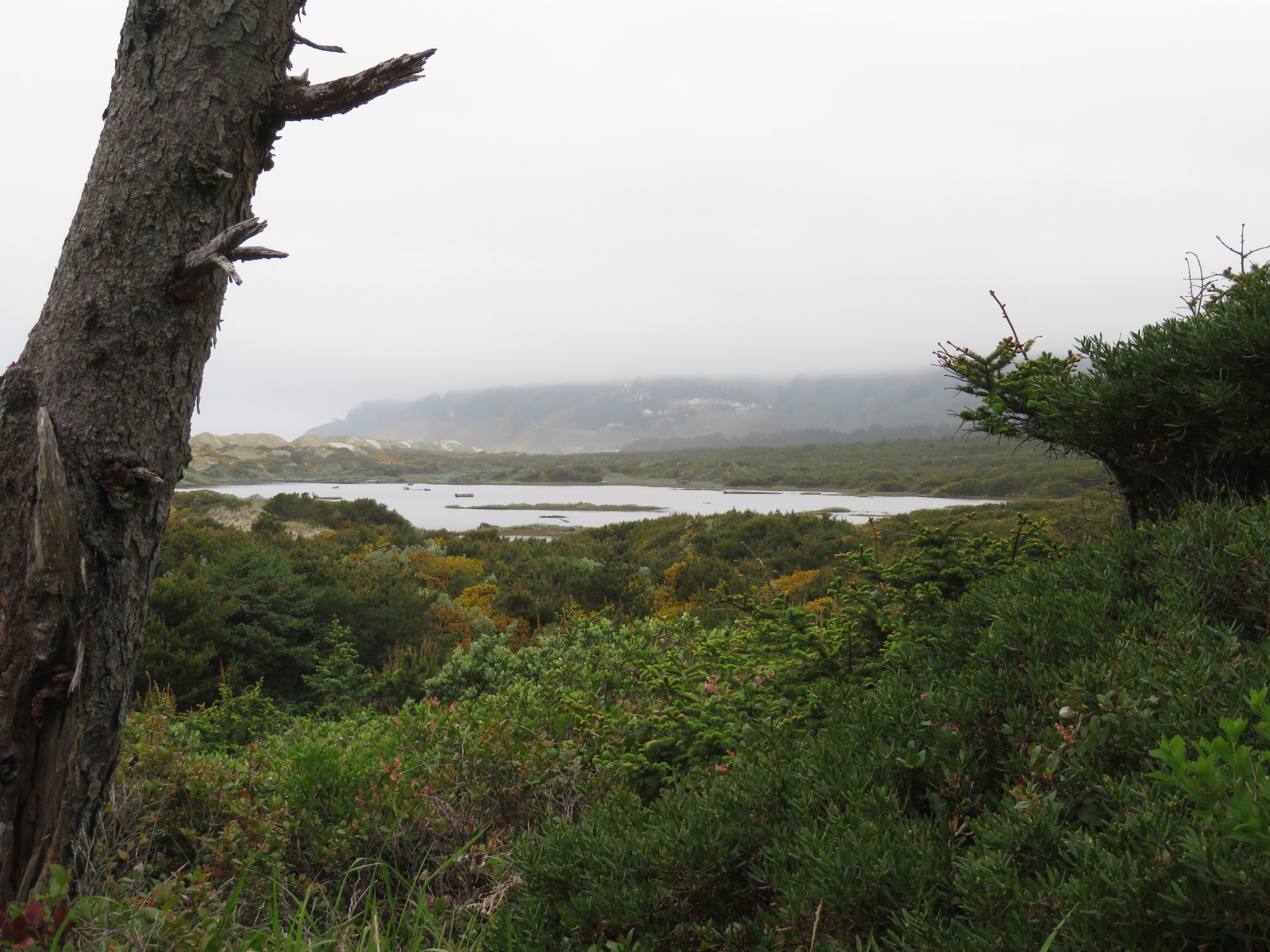
There’s a whale watching station opposite the lighthouse and information about whale spotting in the area, but it was too foggy to see anything.

We finally made it to Eugene where the salesman at Batteries Plus confirmed our assumption… the batteries were FUBAR’d. Oregon’s a good place to purchase large ticket items since there’s no state sales tax. Availability is another issue and what type to get… the same or a different type? A great topic for David’s upcoming Blue View.
While in Eugene, we made use of its spacious public library and its free Wi-Fi. We’ve had precious little internet lately due to limited cell coverage, so we spent an hour or so catching up, downloading some podcasts, and doing some research. National Parks and public libraries… whoever thunk them up, thank you!
It was hot and humid in Eugene and only an hour’s drive back to Florence on the coast where it was 20° cooler and much more comfortable. There are several campgrounds along the coast here… commercial, state and US Forest. We chose Sutton Campground in the Siuslaw National Forest. At $28/night ($14/night with our national parks pass), it was a bargain. The campsites were well-spaced and surrounded with huckleberry and rhododendron. Restrooms with flush toilets were clean and well-stocked, but quite chilly in the morning. Fresh water and trash disposal were available. Cell coverage was limited, but with the antenna booster, it was acceptable. We took a quick lap around the campground and noted trailheads for a morning walk. The night was cool… perfect for sleeping.

Day 16 - Path to Nowhere
We were up early and though the morning was cool, it wasn’t diesel-heater cold. We decided on a short campground walk based on a sign we’d seen which we assumed led to the beach. It had no distance shown and we couldn’t hear any surf sounds, but hey, how far could it be? Now… take a look at the sign below. Wouldn’t you think it led to the beach?

We headed up a well-trodden, unmarked trail, soft under our feet with a pine needle mat, interrupted only by trip roots and rocky toe-stubbiers. It was a pleasant walk along a gurgling creek. Birds sang. The air smelled woodsy and earth fresh. Cat’s tail moss draped over tree branches.

At 1-1/2 miles out, we seemed no closer to the beach. Surf sounds still eluded us, but the trail continued, so we walked… and walked… and walked… and walked. Finally, we came across a clearing and a signpost with a map pointing us to a loop trail. Again, no definitive distances, but really, how far could it be?

We were overtaken by a trail runner who assured us there was absolutely no access to the beach on this trail, but just ahead about 1/4 mile or so there was an observation deck for the creek and the dunes. So we walked. At the promised parking lot, we found the trail to the observation deck which did not offer beach access, nor did it even offer a glimpse of the beach. We assume it was on the other side of the dunes. We could faintly hear the ocean’s roar.
We met ginger-haired Connie, a 31-year trail walking veteran who confirmed the campground trail did not lead to any beach whatsoever and was, instead, a 5+ mile loop walk. We picked up the other side of the trail loop and headed back to Blanche. A good walk and a pleasant walk, but we could have given it a pass had we known there was no beach involved. Returning to Blanche was an ‘ahhhh’ moment as we sat and sipped hot coffee.
Now, where to today? No idea other than north on US-101. We’d driven this stretch of highway before through small quiet coastal towns that would soon be buzzing with summer tourists. We pulled over for a quick look at Heceta Head Light in the distance then continued on.

In Newport, we stopped to use their library and free Wi-Fi. This is becoming a habit. We hadn’t made many miles today, only about 50 or so, but we were tired of driving. We pulled off at Beverly Beach State Campground, found a good site and parked for the night. The campground offered flush toilets, showers, picnic table, fire ring, fresh water AND we had cell coverage. Hallelujah! The site was $23/night for a tent site and $38 for sites with electric and hook-ups. Out-of-staters pay a 25% premium for these sites.

David lit a fire and we had grilled chicken and rice for dinner. Even in front of the fire, it was very chilly. We rushed through dinner and clean-up and retreated to the warmth inside of Blanche.
Day 17 - Ice cream and sea stacks
We started the morning with a walk to Beverly Beach accessed from the campground via a paved path under US-101. We searched for shore birds and other than gulls, we found only a solitary whimbrel.


Since this campground offered showers and many don’t, we figured we should take advantage while we could. The shower water was hot, but the shower rooms were unheated and very wet and sandy from a previous ‘showeree’. The cold air and sandy grit made the experience a bit less pleasant, but we came out clean and no worse for the wear.
We continued along US-101 and came to Depoe Bay where we saw a sign that claimed ‘The Smallest Harbor in the World’. Hmmm… this needed checking out. The harbor was indeed small, BUT had they ever been to Hanga Roa Otai in Easter Island. I think not because it was much smaller than Depoe Bay.


Still using our Mile-by-Mile guide, we stopped for a quick photo of the 45th Parallel sign just beyond Lincoln City… the point which marks the midway point between the Equator and the North Pole.

We’d hoped to take the scenic Three Cape Loop, but sections of it were closed due to road damage. Instead we took a 10-mile detour from Tillamook to visit the Camp Meares Lighthouse. Put into service in 1890, it was deactivated in 1963, but remains on the National Historic Register. It’s a lovely area thick with tall trees and a network of short walks and interesting info signs about the local geology, flora, and fauna. Tufted puffins are supposedly on the rocks and islets just offshore, but we couldn’t spot any.


Next up, the Tillamook Creamery Headquarters complete with Visitor Center and yes, indeed, ice cream! We watched how cheese was made and packaged (actually pretty interesting) and how cows were milked… they not only have milking machines, but they also have robots to do the milking nowadays! We got our free cheese samples and then we headed for the ice cream.


As usual, we’d not made any reservations and all the state campgrounds seemed to be filled. Lucky for us, Cannon Beach RV Resort had plenty of space for a couple of nights and with David’s veteran’s discount, the rate was $56/night with full hook-ups. Our batteries have been getting weaker and weaker, so shore power seemed like a good idea for the night. Though we usually prefer to avoid RV parks because they’re expensive as well as crowded, it turns out this RV park, although crowded as expected, was cheaper than the state parks because of the premium the parks charge to out-of-staters for electric.

Named one of the world's 100 most beautiful places by National Geographic, Cannon Beach was named for a cannon that was lost from the U.S. Navy schooner ‘Shark’ when it hit land in 1846 while attempting to cross the Columbia Bar, known as the ‘Graveyard of the Pacific’. The cannon washed ashore near the town of Elk Creek and inspired the town's name change to Cannon Beach in 1922.


That’s how the town got its name, but its claim to fame is Haystack Rock, a 235’ sea stack that pokes up out of the water just off the beach. In fact, at low tide you can walk to it. it is the “3rd largest intertidal monolith in the world.”

Sea stacks? I wondered, too. According to the Travel Oregon website, “The Oregon Coast’s sea stacks and islands were formed by millions of years old lava flows originating from present day Eastern Oregon and Washington. The flows cooled into solid basalt and millions of years of erosion have resulted in the natural wonders we see today.”
We wandered down to the beach and walked a bit. Haystack Rock really is quite impressive, but it was windy and a bit too crowded. So after a few photos, we wandered on back to Blanche and called it a day.
Next time, new batteries, a visit with Lewis & Clark and then on into Washington. Come join us!