On To the Alaska Highway
/Sea to Sky Highway
Before getting to the start of the Alaska Highway, we needed to get to Dawson Creek, a small town that celebrates its distinction as being Mile 0. As a potential route to Dawson City, the Milepost guide suggests a 192-mile road known as the Sea to Sky Highway, less romantically known as BC-99 on our map. It’s scenic and paved, and the only caveat for traveling this road is the warning “Between Pemberton and Lillooet, it is 2-lane highway with few turnouts, and some long, steep grades (11-16%), narrow winding road and hairpin turns.” With that endorsement, how could we choose any other route?
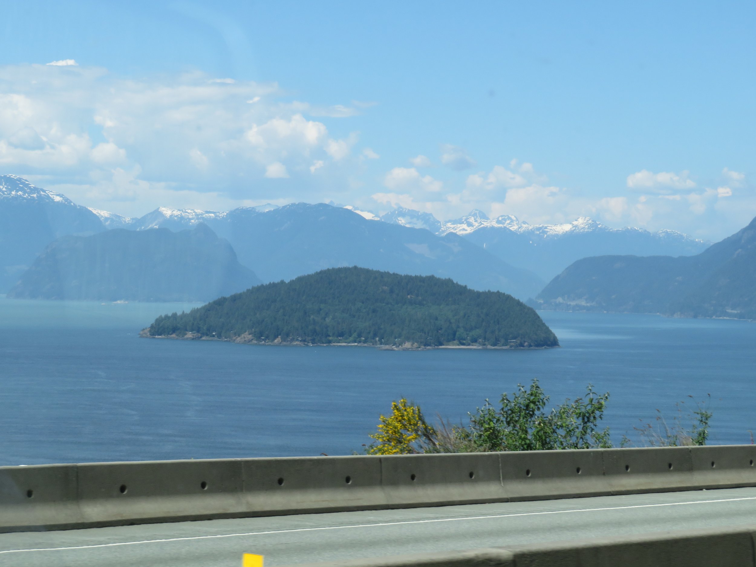
We followed the coast for awhile with wonderful views of Howe Sound, a UNESCO Biosphere Region, with the snow-covered Coast Mountains in the background.
We gave the Britannia Mining Museum a pass, but it was a pretty impressive sight. It was mining for which the first gravel path through this area was built and the Britannia Mine in particular that provided the impetus to improve the development of the highway. From 1930-1935 this mine site was the British Empire’s largest producer of copper and one of the largest copper mines in the world.
We noted that the highway signs here were in both English and Squamish, Squamish being the language of the Coast Salish First Nation people that originally inhabited this land.
When we passed through the town of Squamish, I did a double take… I swear it was one of the Bunyan boys. Could it be?
According to the Pemberton Valley Lodge website, “Officially named in the early 2000s, the "Sea-to-Sky Highway" refers to the trip from stunning coastal scenery in Vancouver & Squamish to the mountainous landscapes of Whistler & Pemberton. The Sea-to-Sky Highway was in the spotlight during the 2010 Winter Olympics when it transported athletes, officials, and spectators between Vancouver and Whistler. As a result, the highway underwent a $775-million renovation to improve safety and accommodate the increased traffic for the events.”
As we veered away from the water, we climbed in altitude. When we arrived in Whistler, the host city for the 2010 Winter Olympics and Paralympics, we were struck by its similarity to Colorado’s resort ski towns like Aspen and Vail. We drove through the village, but finding no place to park on the first tour around, we gave further exploration a pass and continued along.
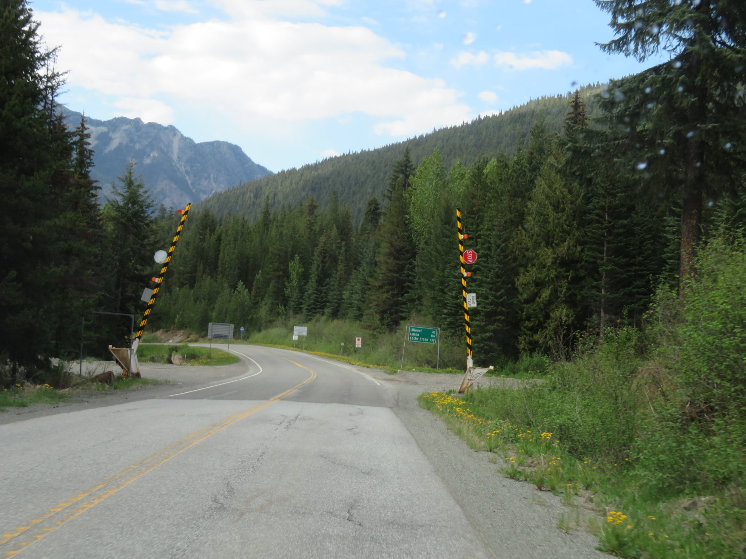
Up, up, and more up, we climbed and then down, down, down, and then up, up, up again. As we went up, the temperature went down and vice versa. As promised, the curves were of the hairpin variety and the ascents and descents were steep… some at 13%. That said, we (and that’s the royal ‘we’ since David was driving) found them no more of a challenge than Berthoud or Loveland Pass in Colorado.
The scenery was great. Noting the avalanche gates and avalanche warnings as we drove along, I’m not sure I’d be as enthusiastic about driving this highway in mid-winter.
We camped at Roger’s Creek Campground for $15/night including fire ring, picnic table and vault toilets. The rush and rumble of the creek had me dreaming of us floating down the river in Blanche.
With no cell service or internet, we were up and on the road the next morning by 0640 on a bright, sunny day. It was early and we stopped just outside of Lillooet at the Seton Lake Reservoir. The air smelled evergreen-fresh. We could hear loons in the distance, but couldn’t see them.
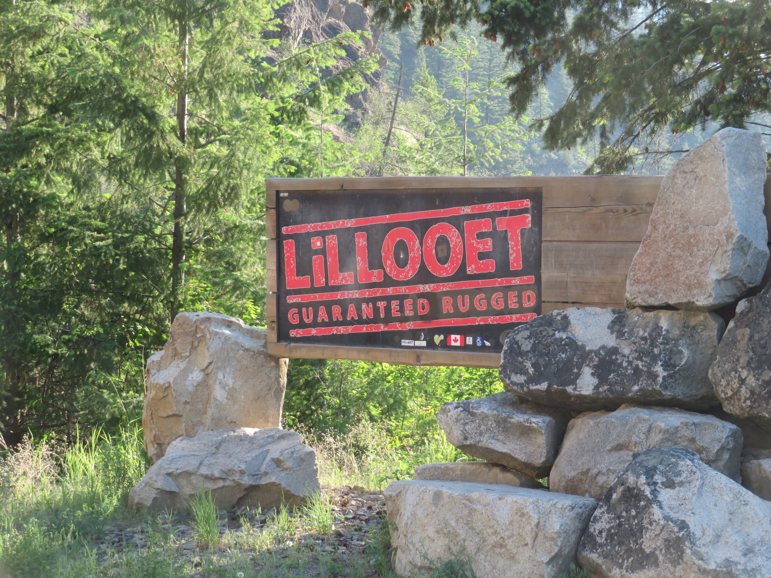
Over a one-lane plank bridge at the Power Canal and then up, up, up to Lillooet. We thought we’d stop for breakfast, but the only place open was the A&W, which was serving some kind of breakfast (no, thanks) and we learned later, no longer serves root beer floats. Bah!
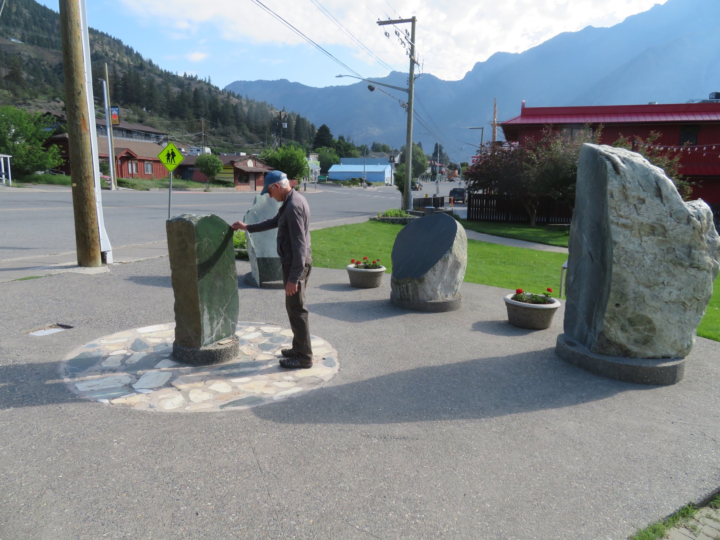
The museum was closed as was the Visitor’s Center. We walked along the Main Street to check out the huge chunks of jade from different parts of British Columbia sitting in front of several shops. A sign on the side of the museum proclaimed Lillooet the ‘Jade Capital of the World’. It reminded us of the Māori of New Zealand who prized ‘greenstone’.
The town’s history, however, dates back to the Cariboo gold rush in the mid-1800s when it was considered Mile 0 of the Cariboo Trail.
Cariboo Highway
BC-99 ended at Lillooet and BC-97, aka the Cariboo Highway began. We began seeing historic roadhouses and roadhouse sites which had been strategically located along the Cariboo Trail, the route miners took to get to the the gold mines of the Cariboo Mountains. Later, the route was known as the Cariboo Waggon Road as more goldfields were discovered and developed.
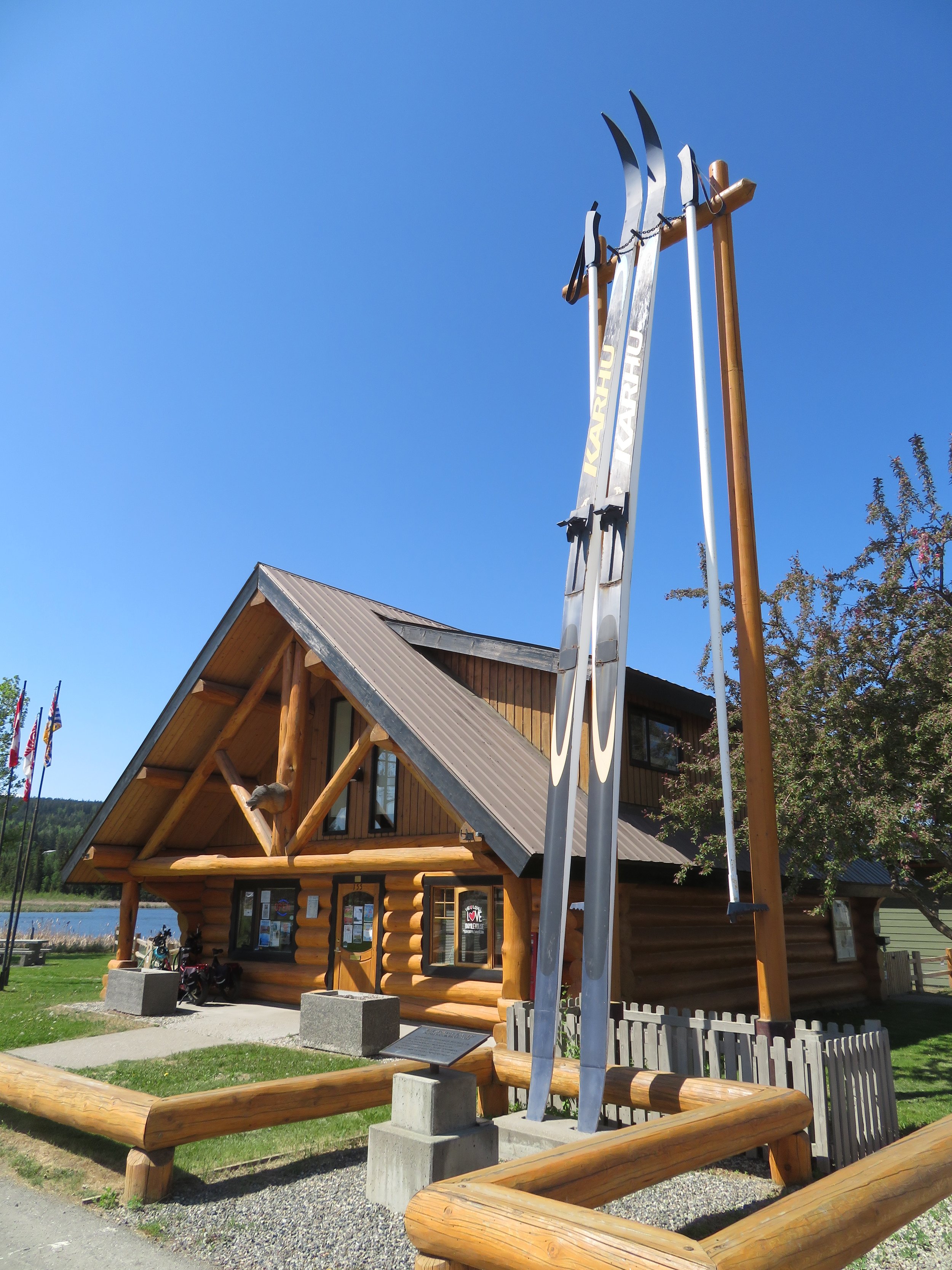
We stopped at 100 Mile House (100 miles from Mile 0) which is now a service center for the South Cariboo area. The Visitor Center boasts ‘The World’s Largest Pair of Skis’ (complete with poles)… 39’ (12m) long.
About eight more miles down the road was 108 Mile House, a very interesting heritage site/rest area that was also the venue for a community market when we stopped. We toured the historic old buildings… a schoolhouse, cabins, telegraph office, a house cum museum… and enjoyed learning more about the history of the area.
We stopped at the Walmart (yup!) in Williams Lake for some supplies and freshies. We noted a mix of metric and English measurement systems here. Distance is in kilometers; temperatures are in Centigrade; we buy gas by the liter. But though some weights are in kilograms, I bought my bananas and peppers today by the pound. Hmm…
The only reasonable place to camp in town was the ‘Stampede Grounds’, a parking lot type affair used for rodeos with RVs crammed in like sardines. We thought we could do better and went a bit further out of town to the Wildwood RV Park. In retrospect, the Stampede Grounds would probably have been better. Wildwood was primarily a mobile home park (with very old mobile homes). They wedged in campers and RVs wherever they could find room. We were sardined in close to the office/owner’s house just off a town street. Though the host was pleasant and helpful, the park itself was not all that pleasant. But… it was only one night, the showers were hot and the laundry got done.
As we woke on Day 28 of our North to Alaska road trip, it was sunny and beautiful again. We’re relying heavily on the Milepost 2023 Guide lately. We pore over it each night and highlight stops and points of interest for our next day’s planned route. I ride shotgun with the three pound/656 page tome open on my lap providing mile-by-mile commentary as we drive.
Fort Alexandria was on the route this morning. The original fort was built in 1821 and was the last fur-trading post west of the Rockies built by the North West Trading Co. Not much to see, but a good leg stretch. The fort now serves breakfast.
Quesnel (pronounced Keh-NELL, we learned after mispronouncing it) was next along the route. Quesnel also had its roots in gold mining and sports ‘The World’s Largest Gold Pan’ was right across the street from the Visitor Centre. A town map in hand led us to the Riverfront Trail, a path along the Fraser River where it joins with the Quesnel River. Cottonwood trees line the path and fluff floated in the air. Canadian tiger swallowtails flitted around feasting on the hillside of pink prairie phlox.
We walked across the Fraser River Bridge, avowed to be the longest Howe wooden truss walking bridge in the world. Who’s to argue with this claim?
We’d planned a side trip to Barkersville National Historic Site, a boomtown for gold miners of the Cariboo, but it was still closed for the season, so we continued on to Prince George (PG), where a requisite photo of Mr. PG was taken on the fly as we passed by. Mr. PG, a 26’ (8m) tall statue, is the iconic symbol of Prince George’s forest industry.
Highlights of the Hart Highway
BC-97 changes its name to the Hart Highway here and ~8 miles out of town, we stopped at the Hartway RV Park for the night. Though crowded, It was pleasant enough for $49CAD/night with all the amenities including Wi-Fi . Hot showers, dinner, a little writing, a little reading, a little route planning and we were out for the night.
The sun rises about 0450 now and doesn’t set till 9:30pm. Days have been mostly sunny and cool in the 50s F (12C), but oh, so long. We seem to be wearing sunglasses all the time.
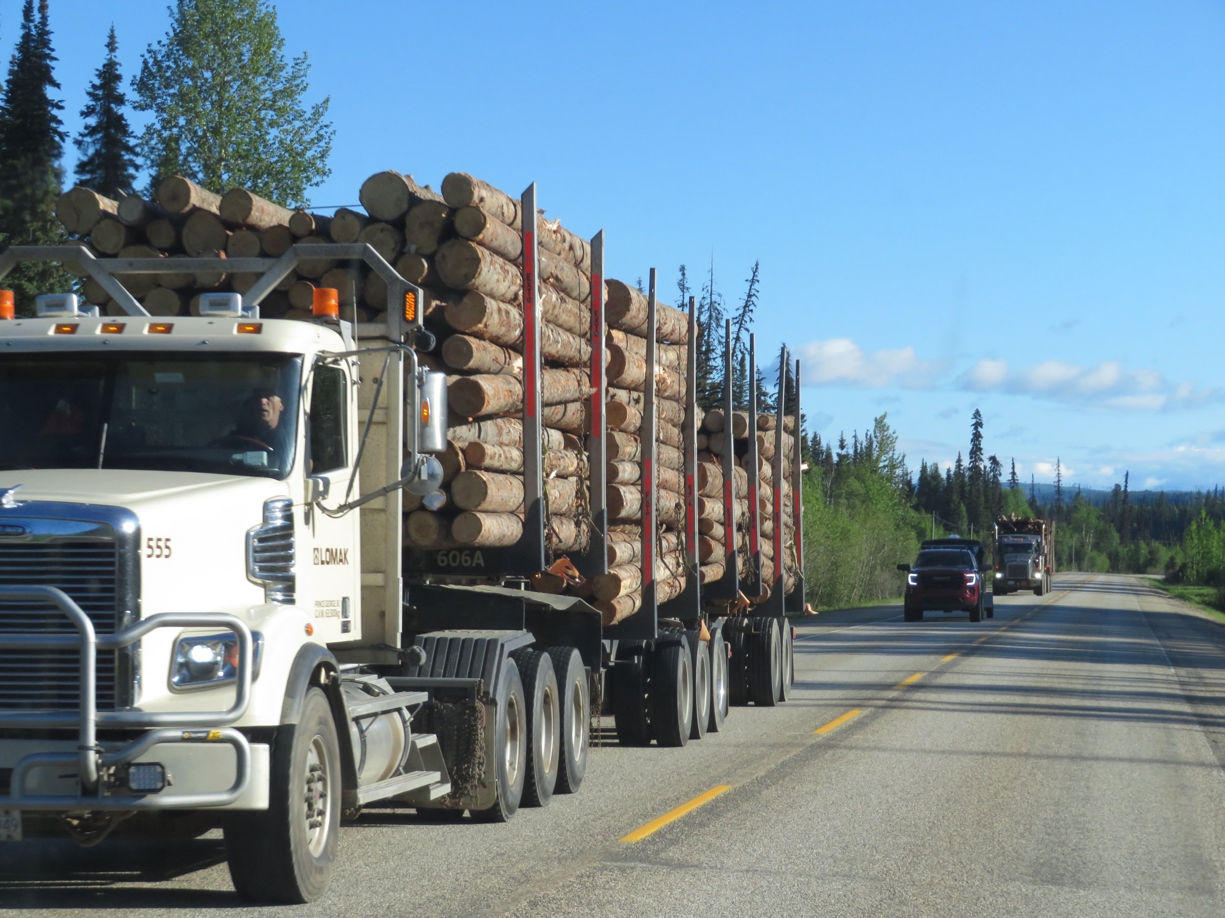
Logging trucks are a constant sight here, all seem to be heading towards Prince George to meet up with Mr. PG.
We stopped to check out the cairn in front of the McLeod General Store. The store was closed, but a cairn out front celebrates the first and longest continuously occupied European settlement in British Columbia. It was the North West Trading Company that established the first trading post west of the Rockies here in 1805.
There have been lots of wild animal signs… moose, bear, deer, caribou… and we’ve passed by several places along the roadside that seemed ‘moose-y’, but no animal sightings yet except a few mosquitoes and the bug splats constantly decorating our windshield.
And then… a black bear! I wasn’t fast enough with the camera to catch him…darn! Then another bear… this time I managed a bear butt shot… a slight improvement. I now ride with the Milepost guide and the camera at ready on my lap. Seeing the bears was also a reminder that we’ve got to get the bear spray out of the storage bin before we take our next walk in the woods. Then at last… a black bear and a photo opp.
Next stop… Bijoux Falls Provincial Park was just off the highway. The falls are LOUD and when viewing them, it’s hard to avoid the jets of cold spray they emanate.
Chetwynd was a surprise. We’d read about their chainsaw carvings and we were, to say the least, unimpressed. We’ve been to enough lumberman competitions to see what chainsaw sculpting produces. Tyria and Claudia at the Visitor Center were knowledgeable, enthusiastic and chatty and convinced us that a tour of carvings would be an eye opener. Here are a few of my favorites, but David will give you more insight into Chetwynd’s well-deserved pride and joy. It definitely ain’t Grandpa’s chainsaw carvings!
My very favorite… Peace, Love, Monkeys
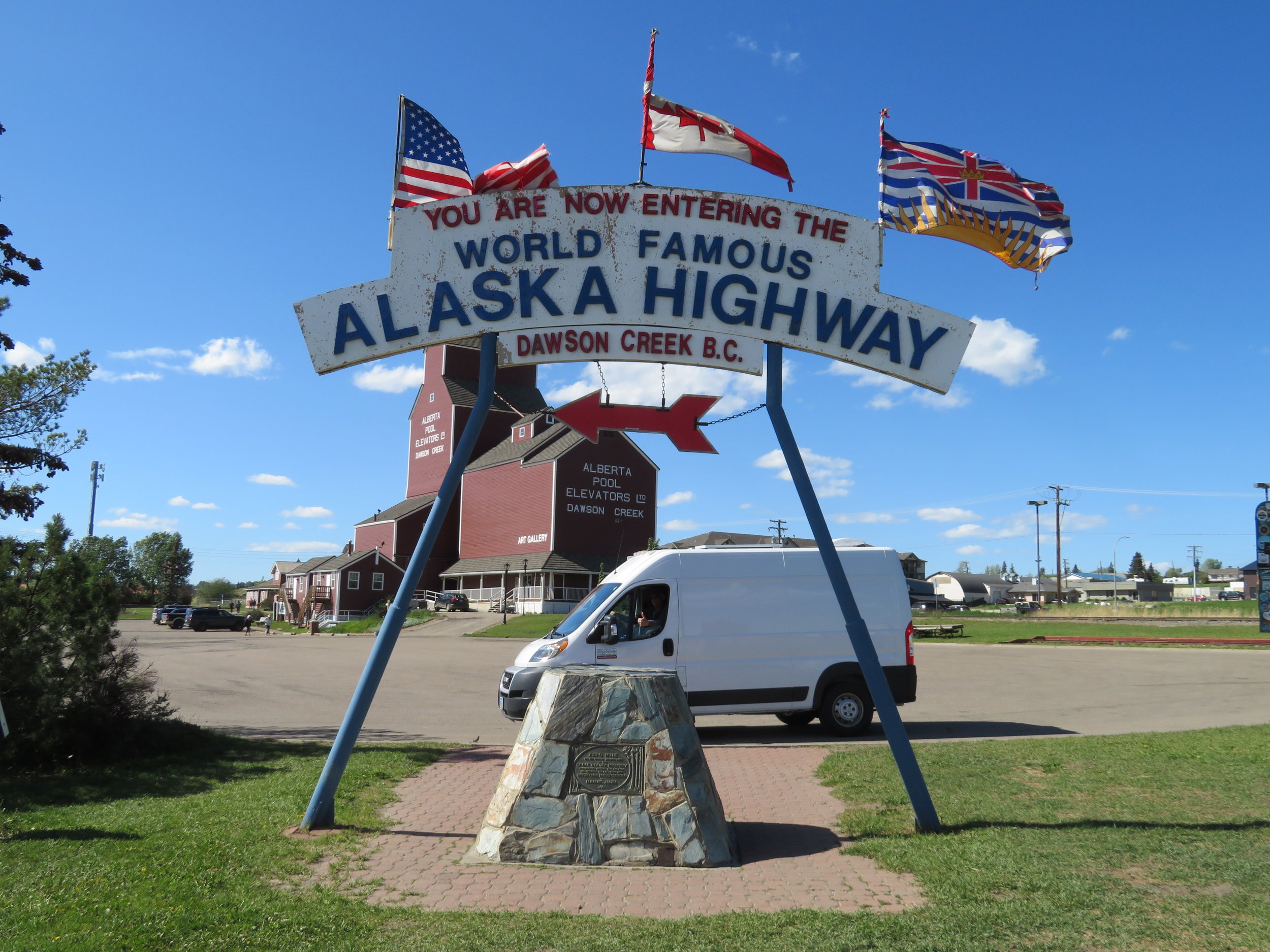
Though it was later in the day, we were feeling fine and the days are so long, we thought we’d continue the final leg into Dawson Creek. We found the Mile 0 Campground and staked our claim on a site and then went looking for the Mile 0 marker. We were on the Alaska Highway at last.
Here’s our trip so far…
Next time… we set out on the Alaska Highway. Join us… and don’t forget your sunglasses!


