Vancouver’s Stanley Park
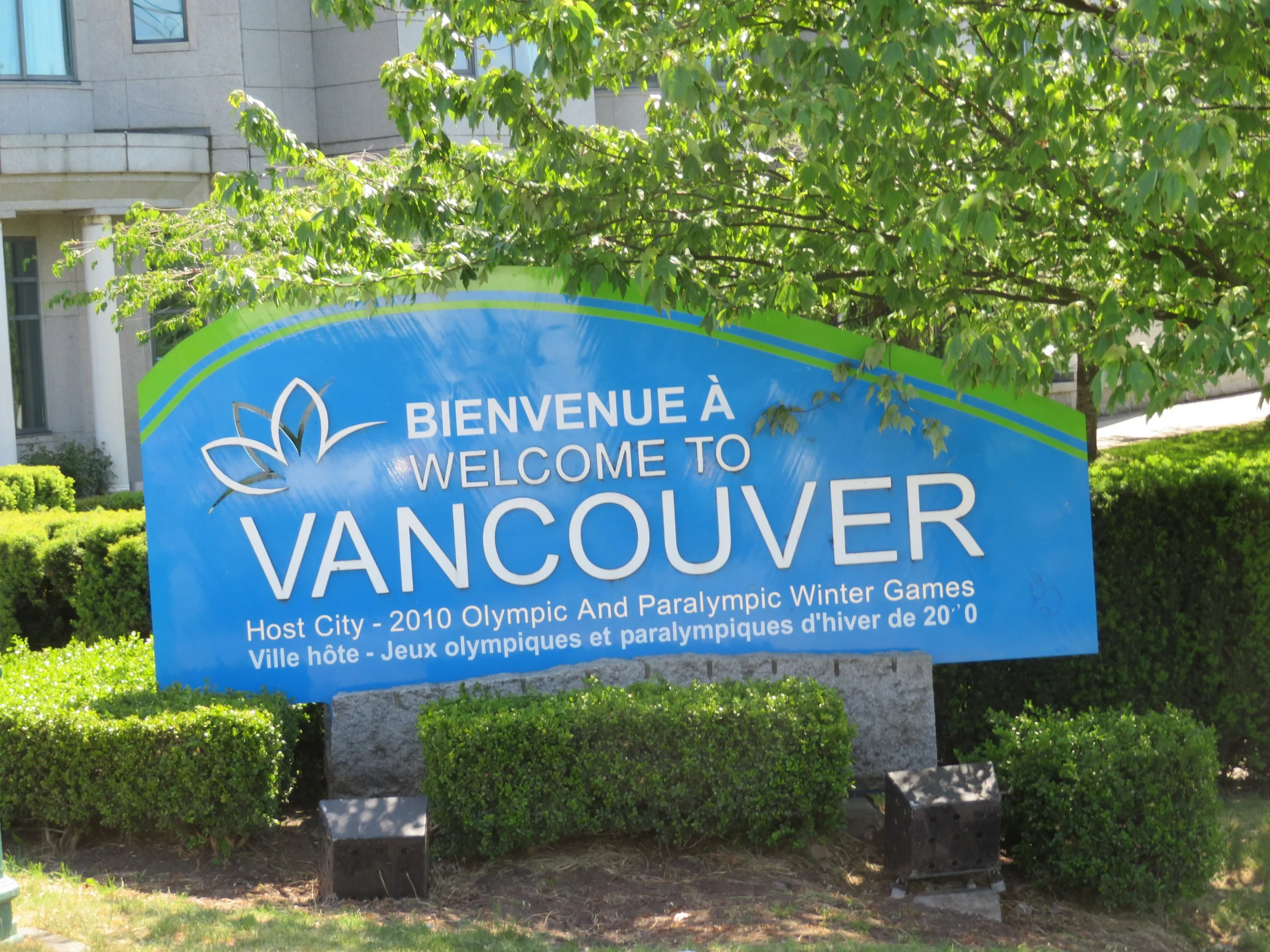
/Vancouver, originally an 1870s small sawmilling settlement, is the largest city in British Columbia. It has a natural harbour on a site facing the sea and mountains. Hudson’s Bay Company set up a trading post there in 1827, but it wasn’t until the gold rush, that, like Victoria, the city flourished. Today, it’s quite cosmopolitan and has lots to offer, but the city’s #1 tourist attraction is its urban forest, Stanley Park, and we were keen to visit.
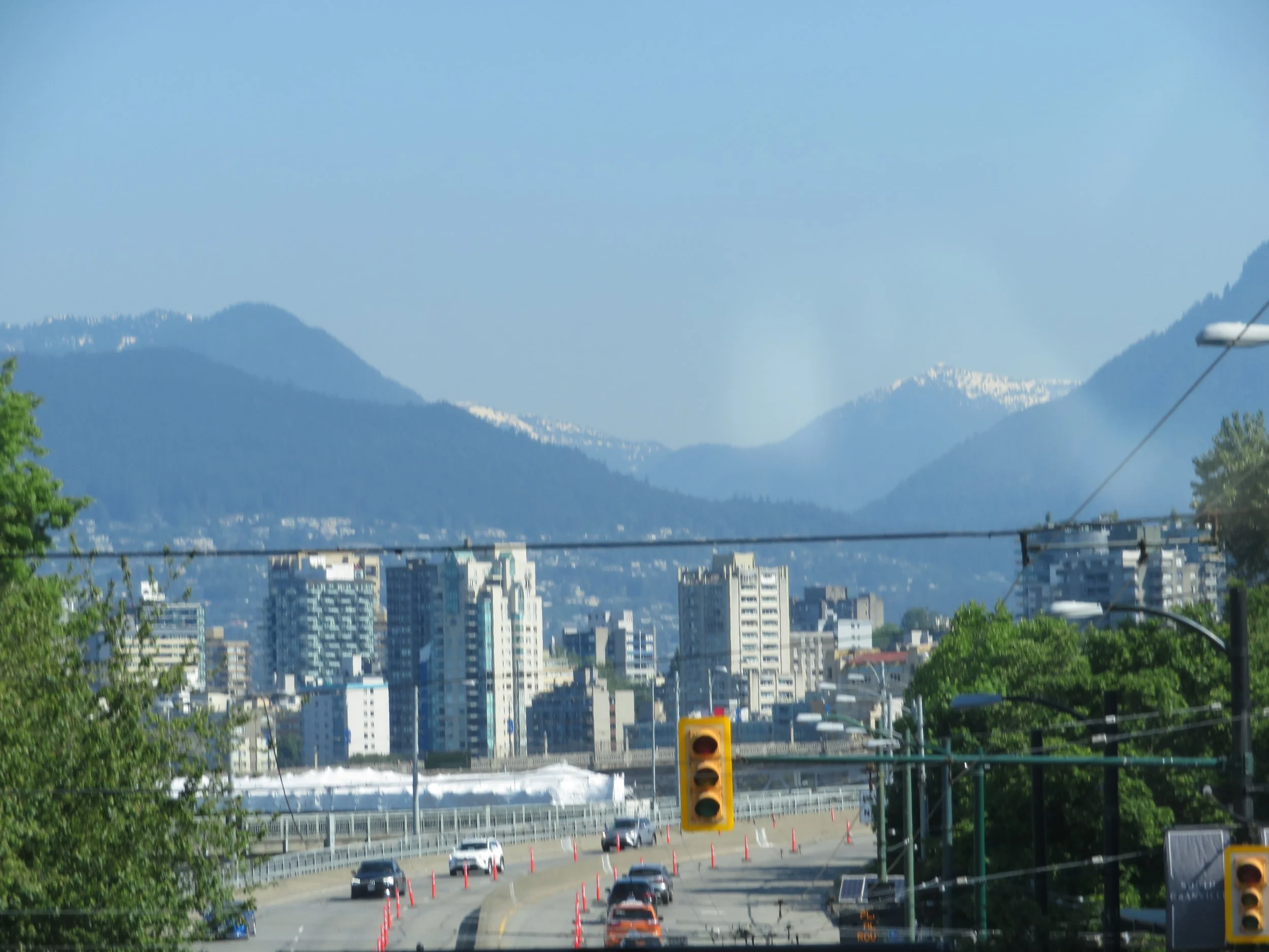
Mountains are a beautiful backdrop to the city, but as a peninsula, there’s water on three sides and lots of bridges.
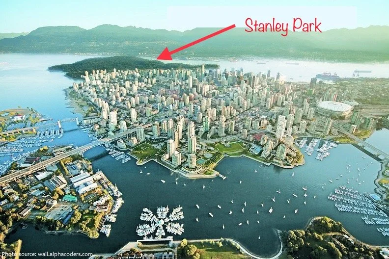
The dark green forested area in the aerial photo of the city below is Stanley Park and we carefully wended our way through a maze of busy city streets to get there.
According to Wikipedia, “In 1886, the land was named Vancouver’s first park after Lord Frederick Stanley, the recently-appointed Governor-General. A little trivia for you… The NHL’s Stanley Cup is also named after Lord Stanley.
Stanley Park and its gardens occupy ~1000 acres of the downtown peninsula at the harbour entrance and is surrounded by a scenic 5.5-mile (8.8-km) seawall. While Stanley Park is not the largest urban forest out there, it is still ~20% larger than New York City’s Central Park. Dissimilar to many urban parks however, Stanley Park is not the creation of a landscape architect, but rather the evolution of a forest and urban space over many years.
Enough history and trivia, let’s get to the good stuff. No more stories, follow our path in the photos below… with minimal commentary.
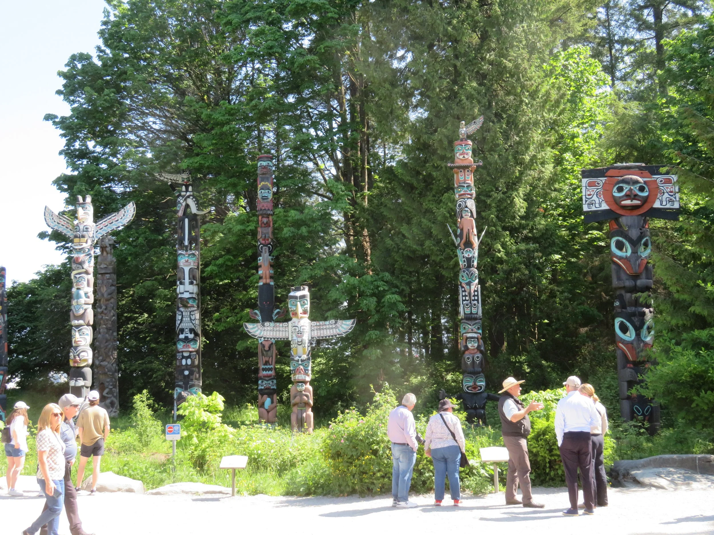
First stop… the totem poles. I love the artistry, the creativity, the symbolism and the stories they tell. All of the totem pole are from British Columbia and most are replicas of the originals.
On this day, the sun was shining and the day was warm and gorgeous with a small sea breeze… just enough to ruffle your hair. Walking along the seawall was a delight. People biked and walked and skated on the wall and seemed to thoroughly enjoy themselves.
Construction of the 5-1/2 mile seawall walk around the park began in 1917 and took several decades to complete. The path has been extended several times and in actuality is currently ~14 miles long, making it the world's longest uninterrupted waterfront walkway, the Stanley Park portion contains just under half of the entire length.
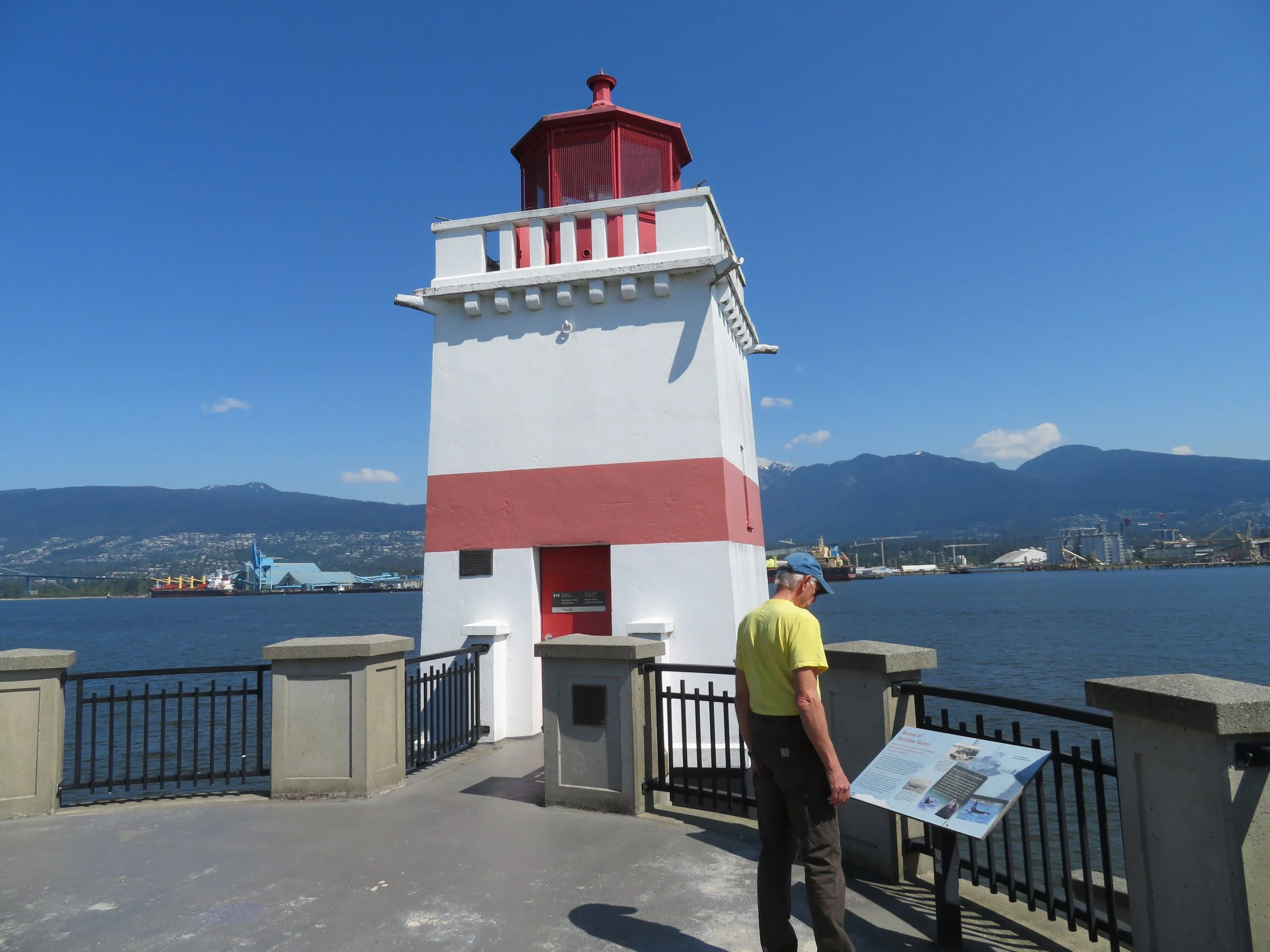
We walked east as far as Brockton Point Lighthouse. Built in 1914, the light was established as a navigational aid for the heavy outbound shipping traffic within the port. The seawall path goes right through the bottom of the light which I found to be particularly cool.
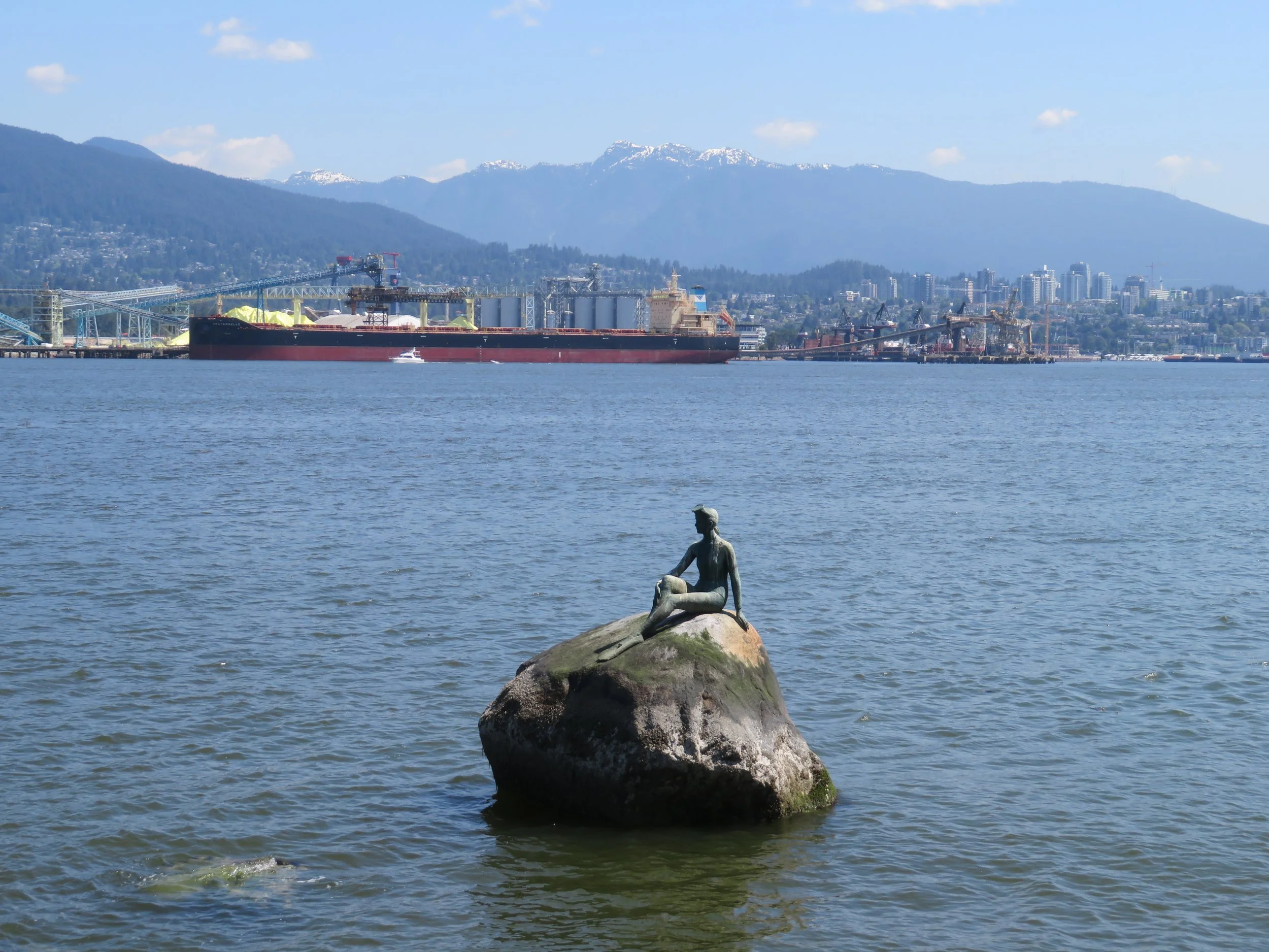
We reversed direction to find Girl in a Wetsuit, a life-size 1972 bronze sculpture by Elek Imredy of, yup, you guessed it, a young woman in a wetsuit located on a rock in the water.
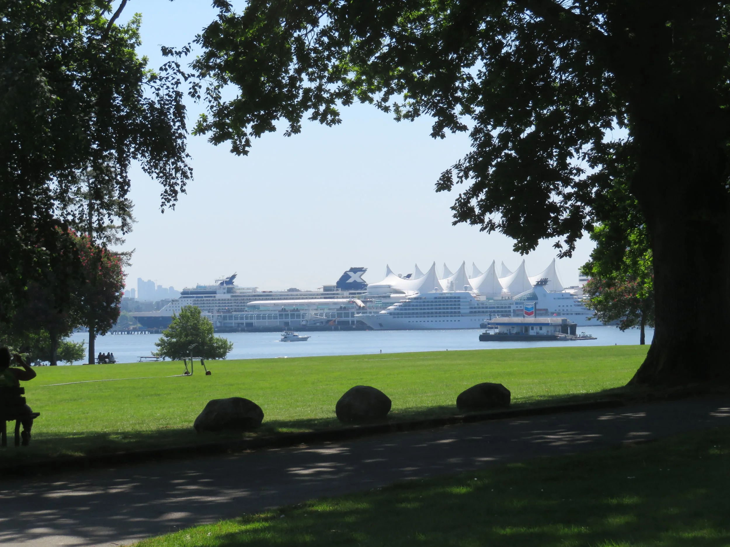
The bulk carrier terminal is across the harbor here, but further down the path, we could see all the cruise ships waiting to carry passengers along the inland passage trip north.
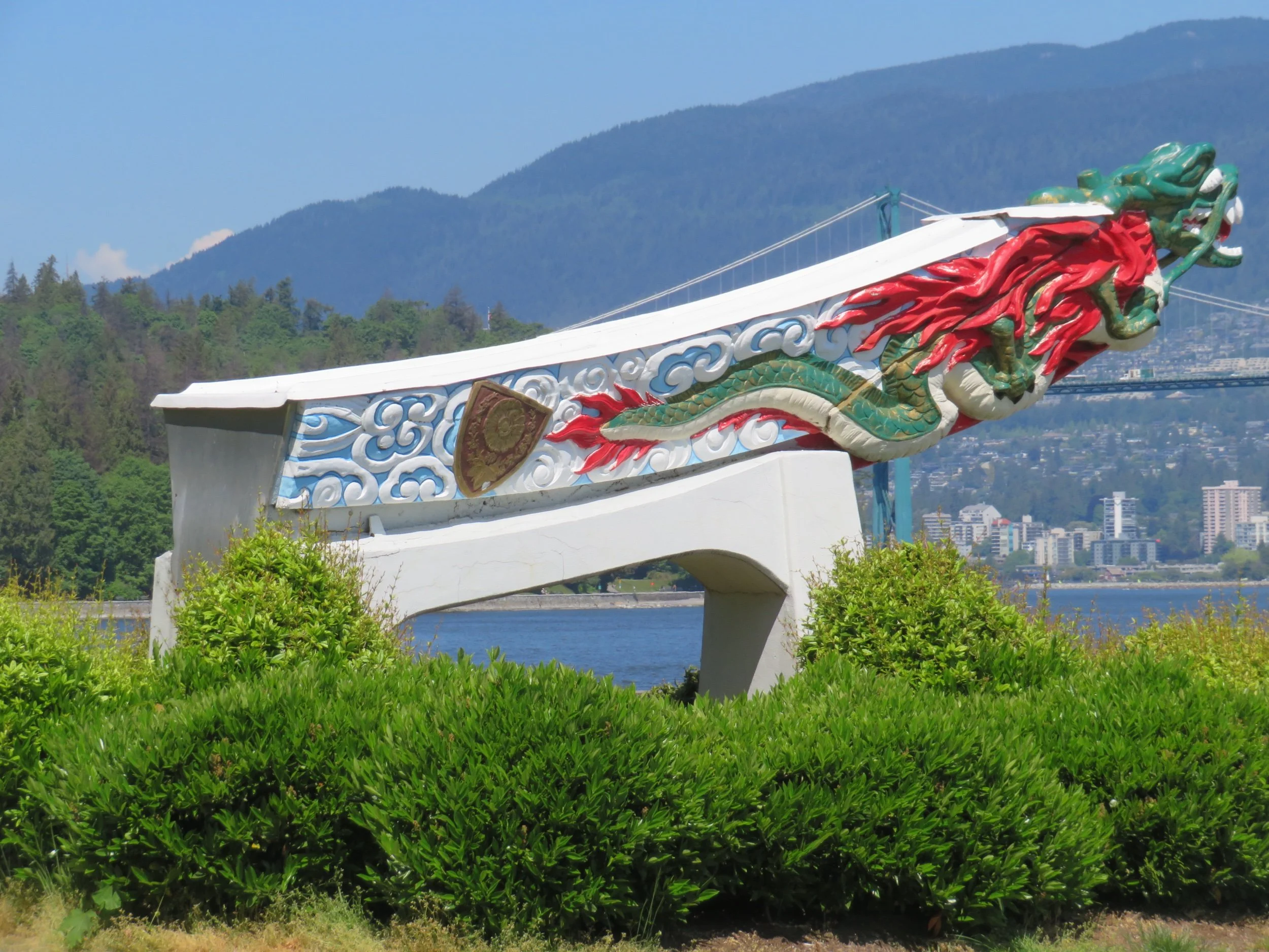
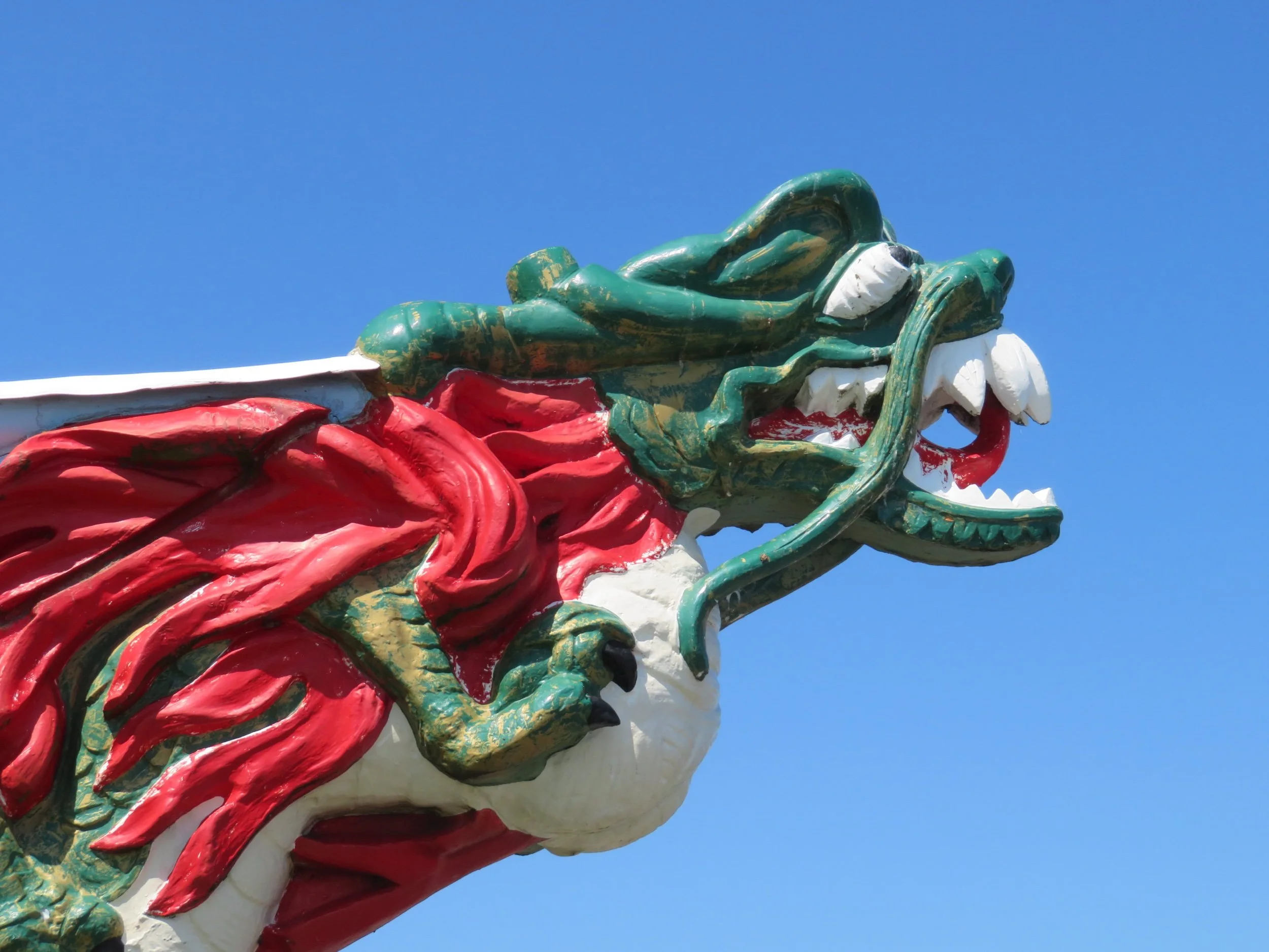
Not far from the wetsuited girl, we came across a brightly colored replica of the figurehead of the Empress of Japan. Relying on Wikipedia once again, “The SS Empress of Japan was a famous ocean liner that was also called the "Queen of the Pacfic". It crossed the Pacific Ocean over 400 times. The figurehead was saved from being thrown away and restored by the The Province newspaper. It was put in Stanley Park in 1927. The original started to deteriorate so this is a fibreglass replica. The original restored figurehead is in the Vancouver Maritime Museum.”
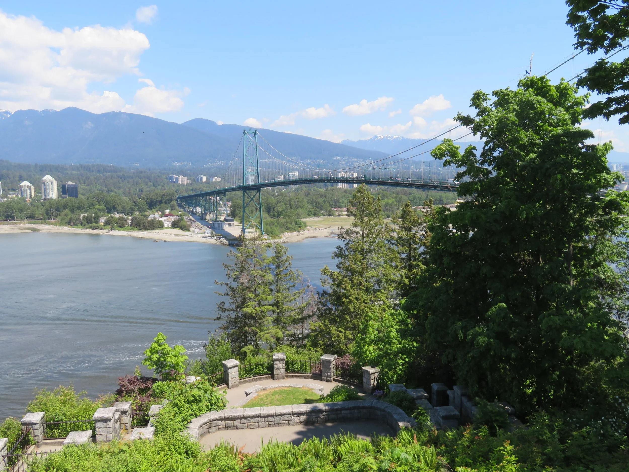
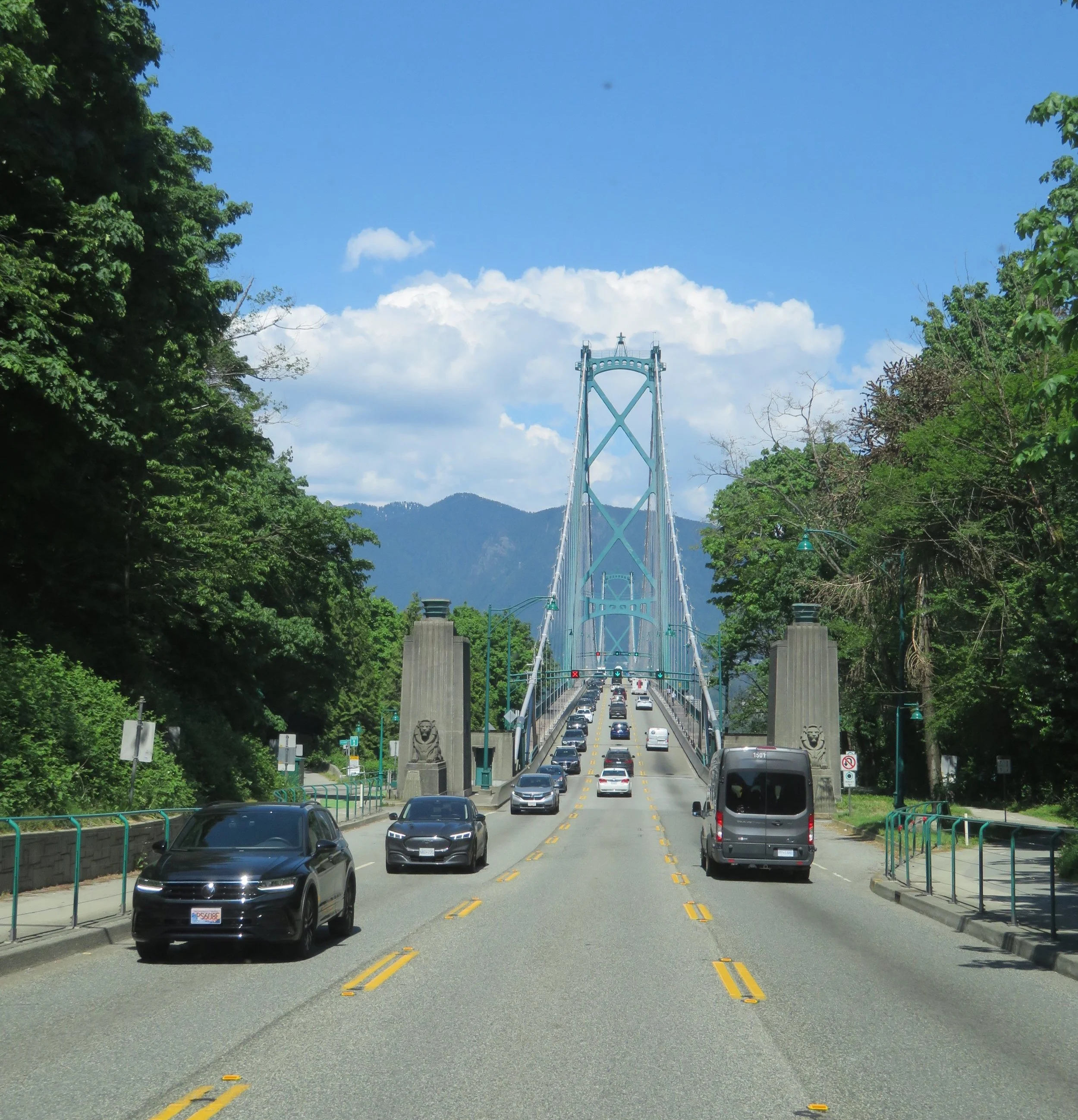
A lookout point afforded a great view of the Burrard Inlet, Lion’s Gate Bridge and points beyond.
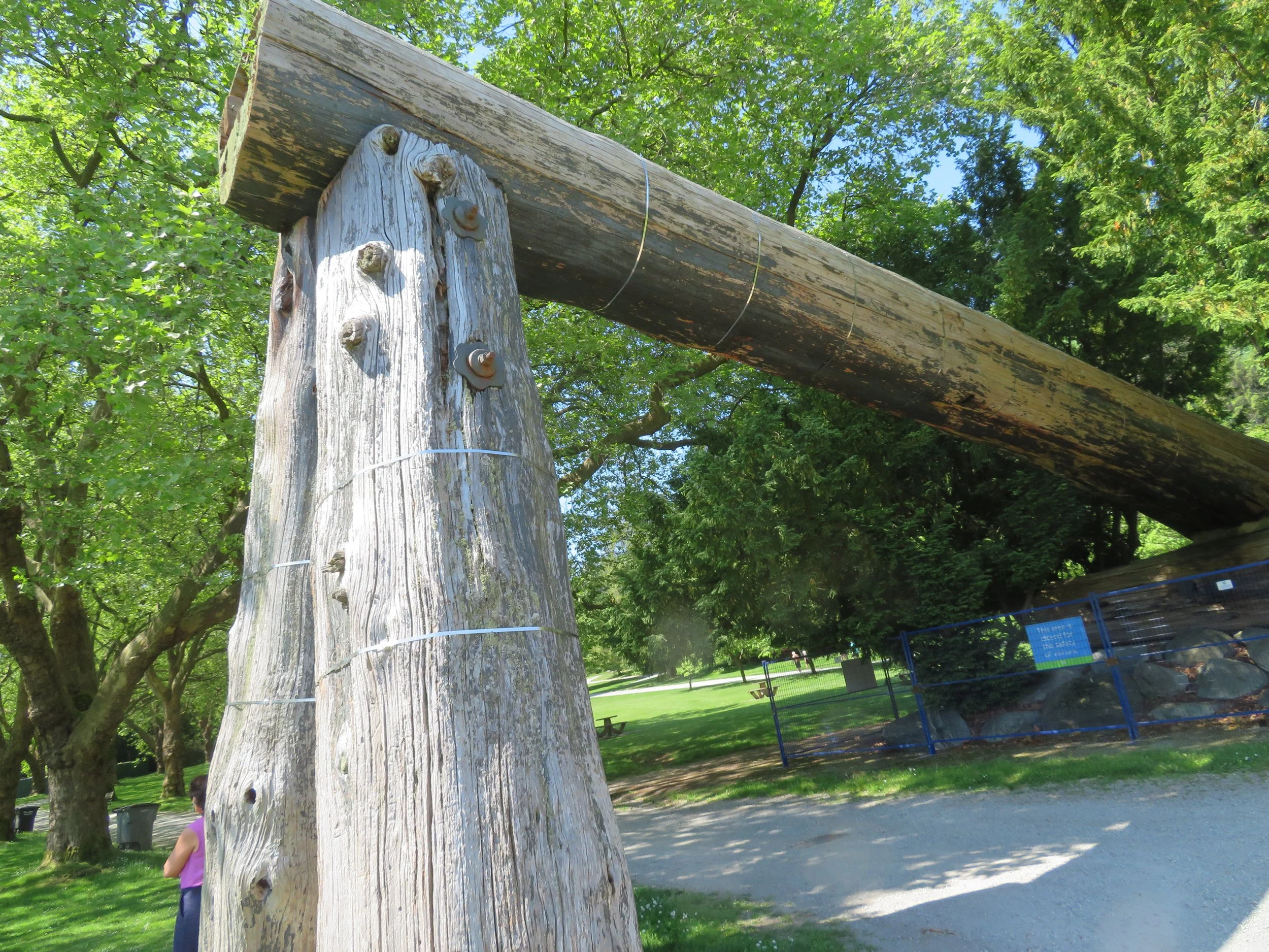
The original Lumbermen’s Arch was erected In 1912 by the BC Lumbermen and Shinglemen's Society to honor the Duke of Connaught, son of Queen Victoria, to mark his visit to Vancouver. Weather and climate play havoc with landmarks, the original one was replaced by the one in the photo below in 1952.
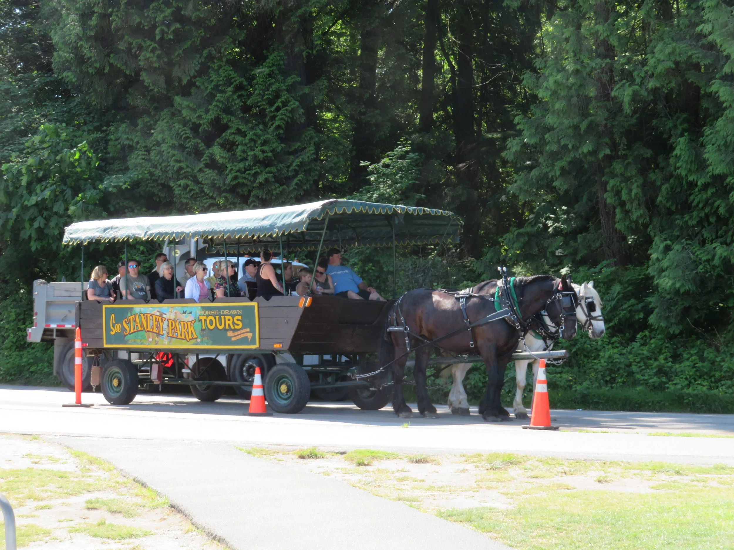
Horse-drawn carriage tours clip-clopped past us, ferrying folks around the park roads.
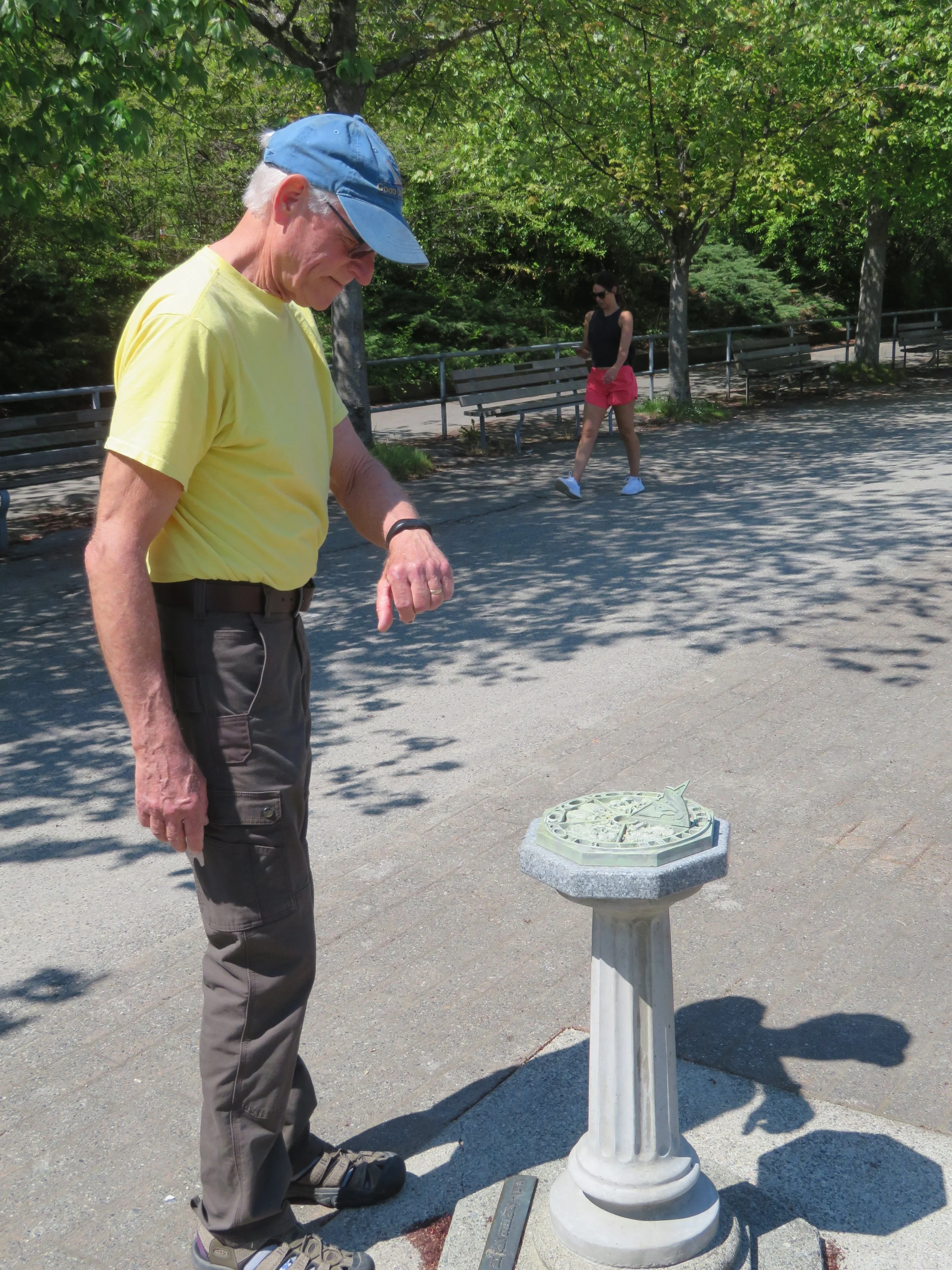
The engineer in David couldn’t resist checking the time… the sundial was 10 minutes fast.
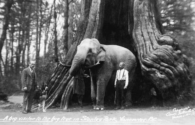
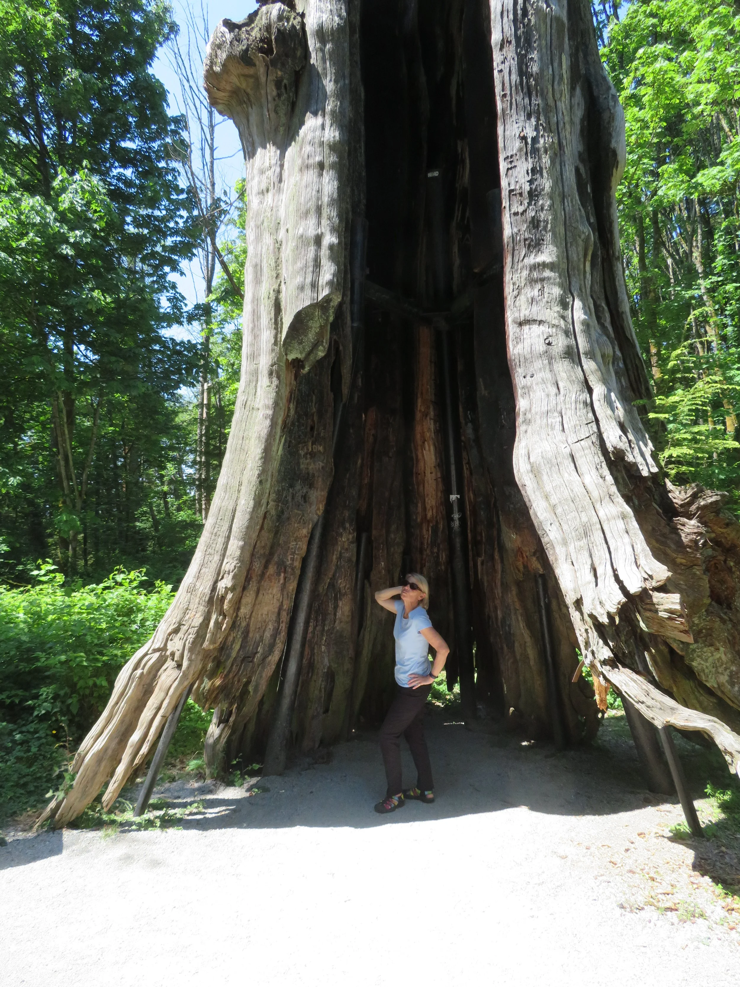
Stanley Park also has a famous tree… a hollow one, actually. ‘This 700-800-year-old Western Red Cedar tree stump has an incredibly special place in the memories of many Vancouverites and is one of the most well known and photographed landmarks in the park. Many historic photos have showcased people, cars and even elephants posing inside the tree’s large cavity.” I borrowed a photo from Vancouver’s archives to demonstrate the size of the tree.
In 2006, a severe windstorm damaged the tree and it was marked for removal. Locals stepped up with a plan to stabilize the tree instead of removing it and thus it continues to be a landmark within the park.
A good portion of the park remains pristine and forested, just as it was when it was designated a public park back in the late 1880s — the park has roughly half a million trees, some standing as tall as 250’ (76m) and hundreds of years old like the Hollow Tree. Many of the walking paths through the park follow the old original logging skid roads.
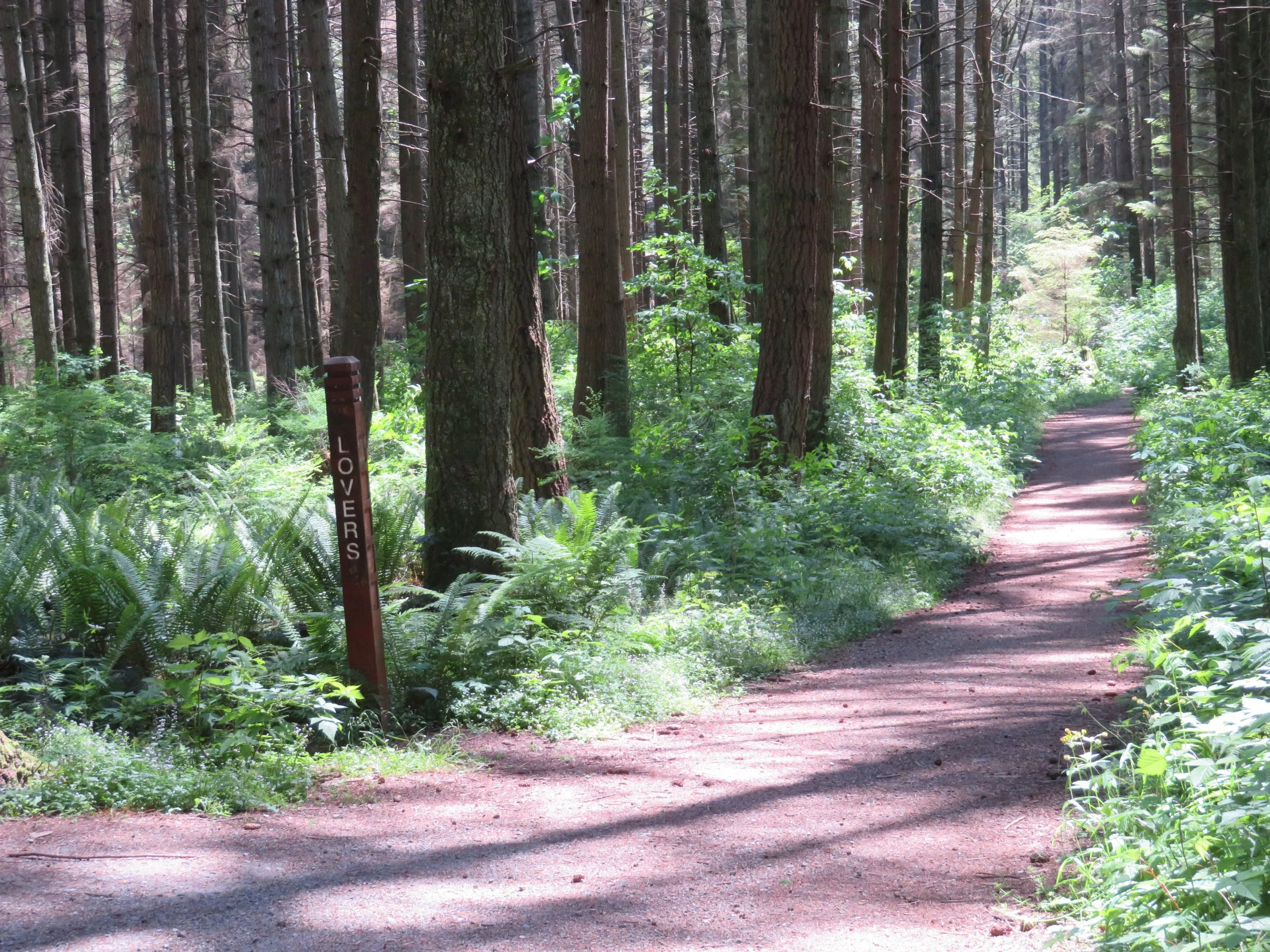
We walked a few of the paths and you’d never know you were in the middle of a city. The trees muffle all the traffic noise and the only sounds are your feet on the trail and the chirping of birds.
It would take days to explore the whole park. There were so many sights unseen, but once again, the road was calling. At the end of the day, we were back in Blanche, making our way across the Lion’s Gate Bridge and onto the scenic Sea to Sky Highway heading north.
See you next time. We’re getting closer to the Alaska Highway every day. Come join us!


