Visiting Fort William and Ontario Roadside Attractions
/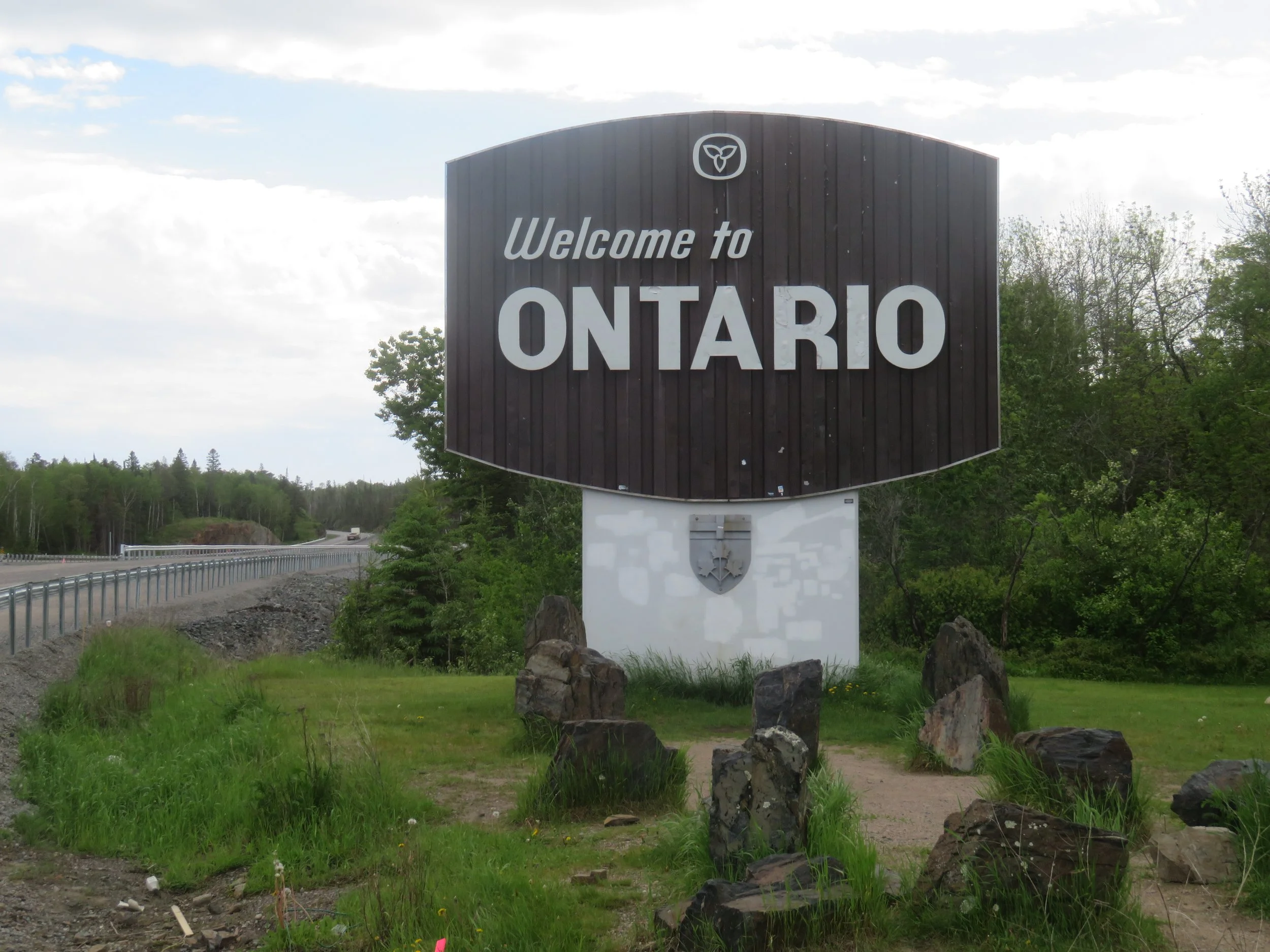
Past Winnipeg, over the Red River, we crossed into Ontario by mid-day and with the crossing, we lost yet another hour and entered the Eastern Time Zone.
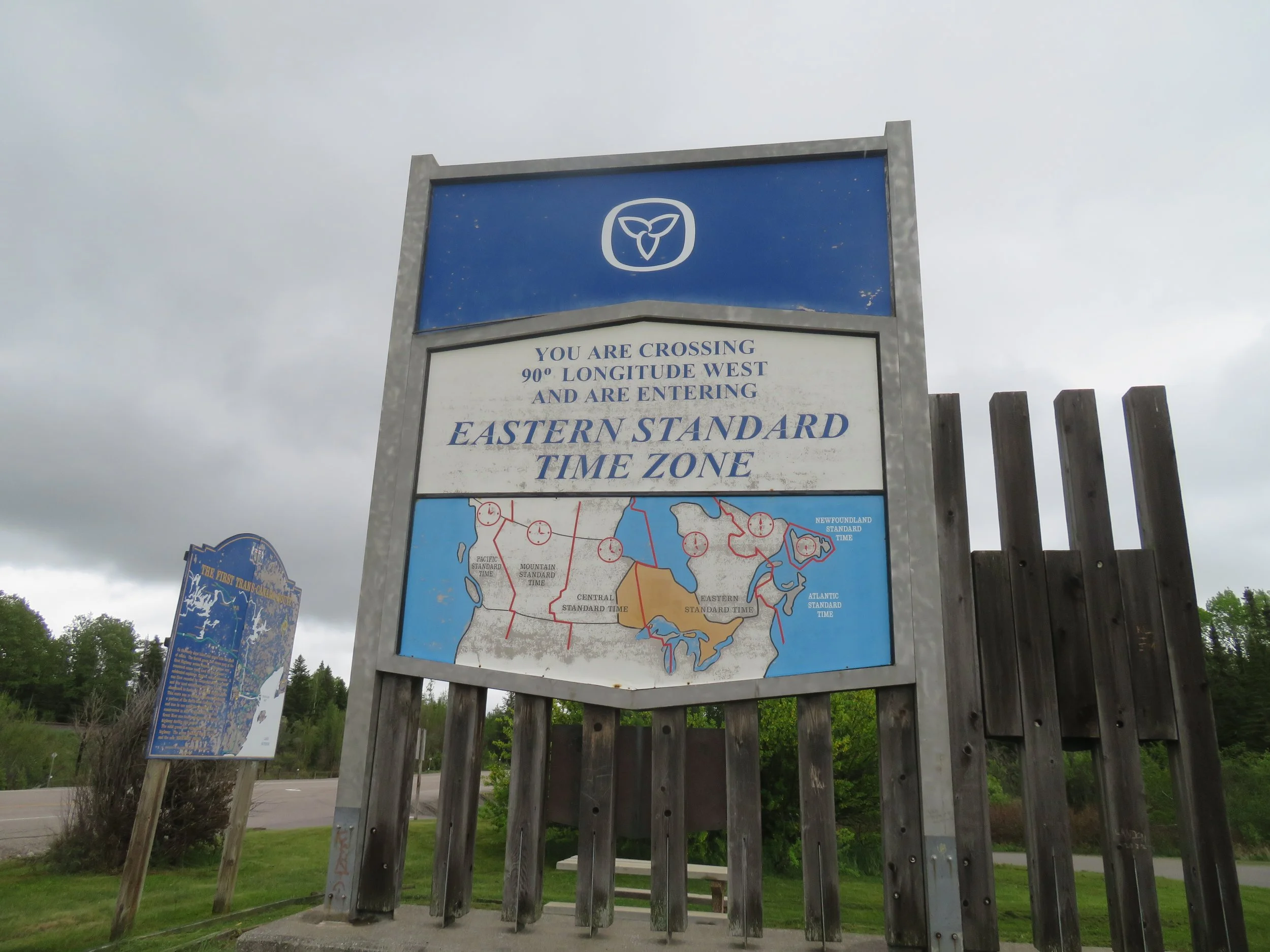
Into the Eastern Time Zone and we lost an hour.
Tall evergreens and white-barked birch trees lined the highway. There were hundreds of small lakes and rivers in this area. We passed through Lake of the Woods, a resort area and when it began to rain in earnest, we found an Ontario rest area down the road that allowed overnight parking. Note that many of the Ontario rest areas specifically forbid overnight stays and signs are clearly posted.The rain continued throughout the night and the morning was cold, wet and raw.

LAKE OF THE wOODS
The weather was conducive to mozzies and they were out in full force. We had purchased a new bug zapper for indoor use before we left Las Vegas, guaranteed to work on mozzies. NOT! We slapped at mosquitoes all night through, driven crazy as they buzzed around our heads in the dark. We woke in the morning itching with bites and welts. Grrrr! Scratch, scratch!
Our destination goal for the day was Thunder Bay on the shores of Lake Superior. We had visited Thunder Bay when we did the Lake Superior Circle Tour in 2022 and had stayed at the Fort William campground, but were unable to visit the fort because of a special event.
The rain continued on and off throughout the day and by the time we reached Thunder Bay, it was coming down in torrents. Camping didn’t sound appealing so we used up some more hotel points and booked in at a local Comfort Inn… cozy, warm and dry. The weather cleared overnight and we headed to Fort William.
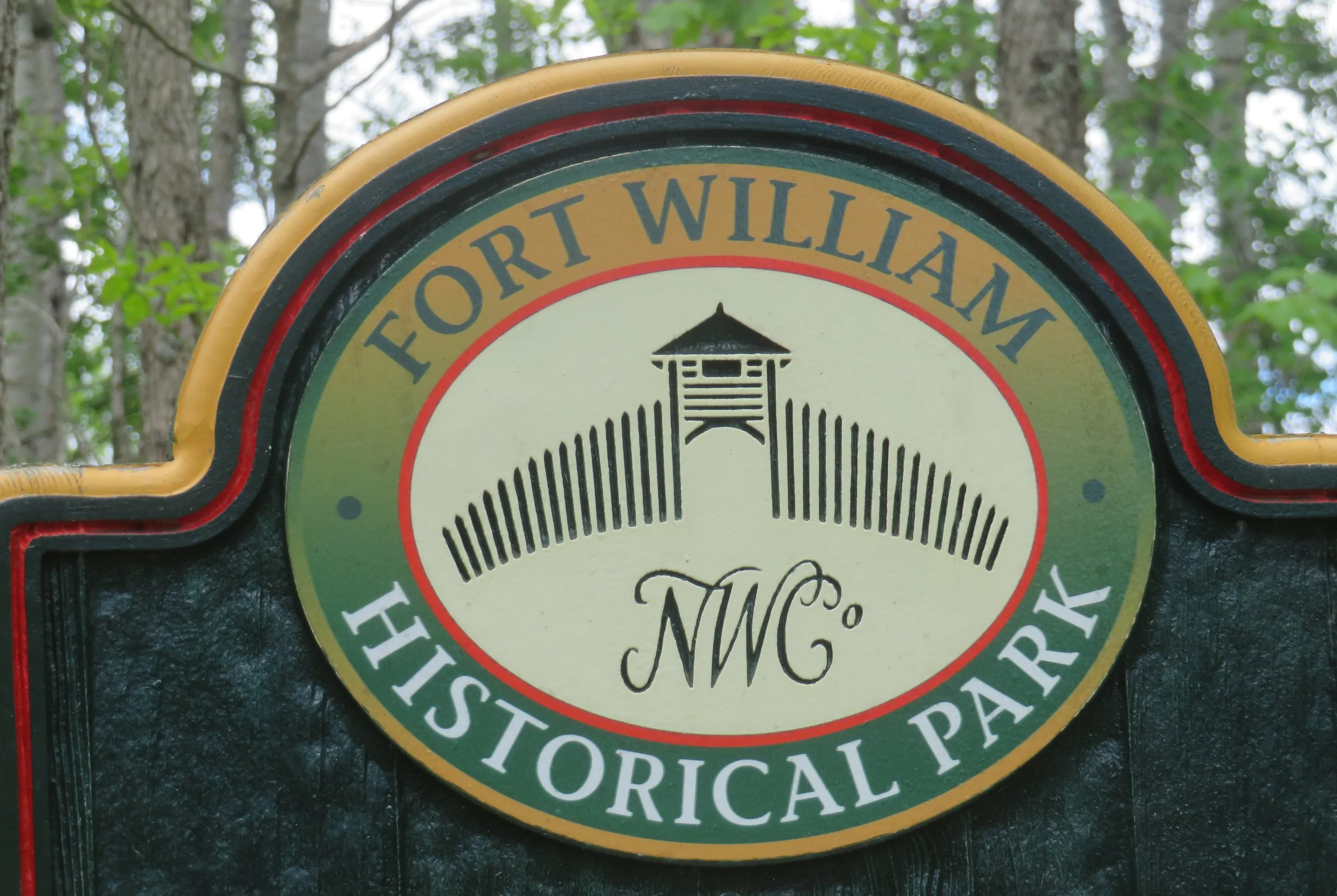
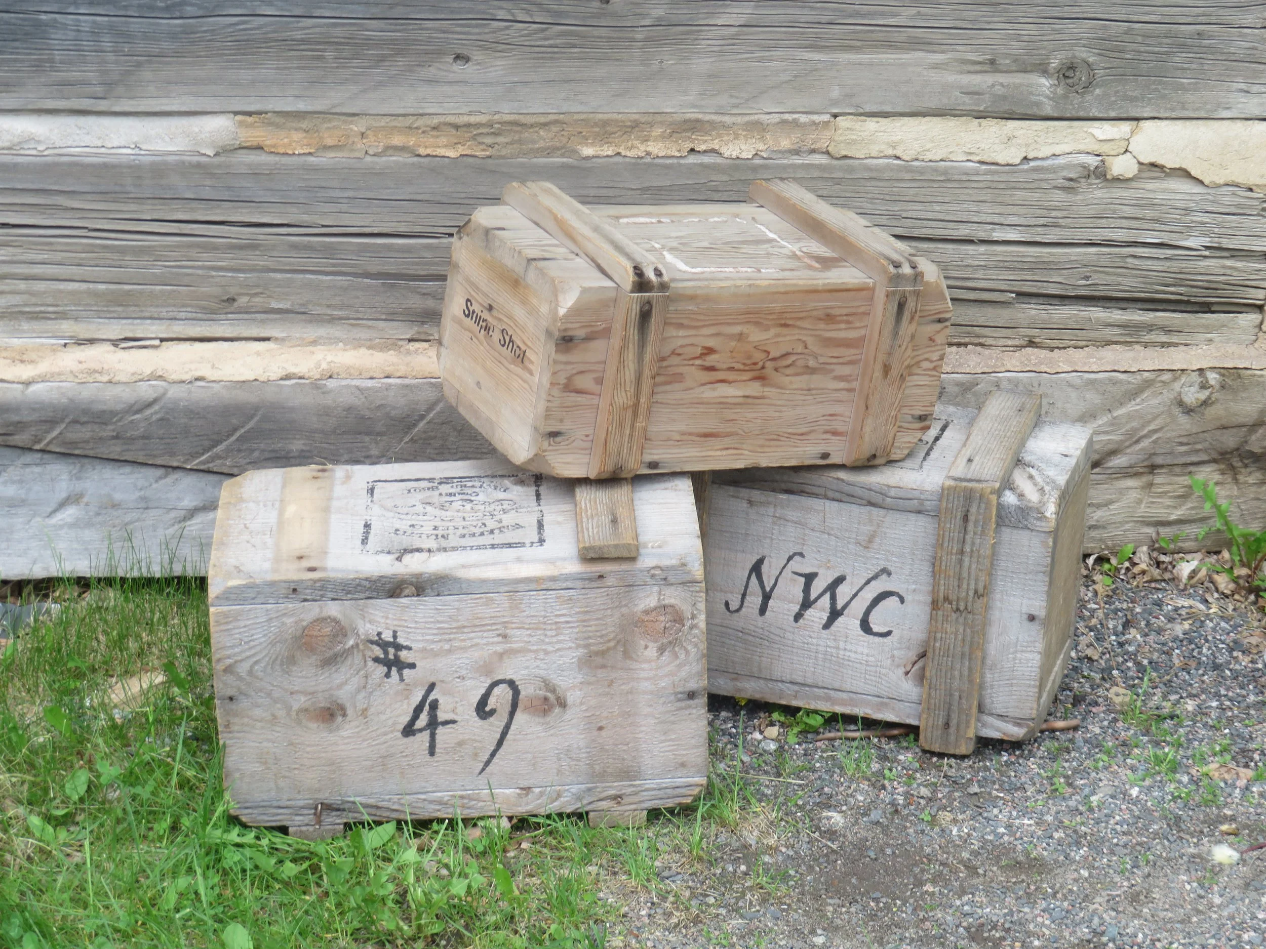
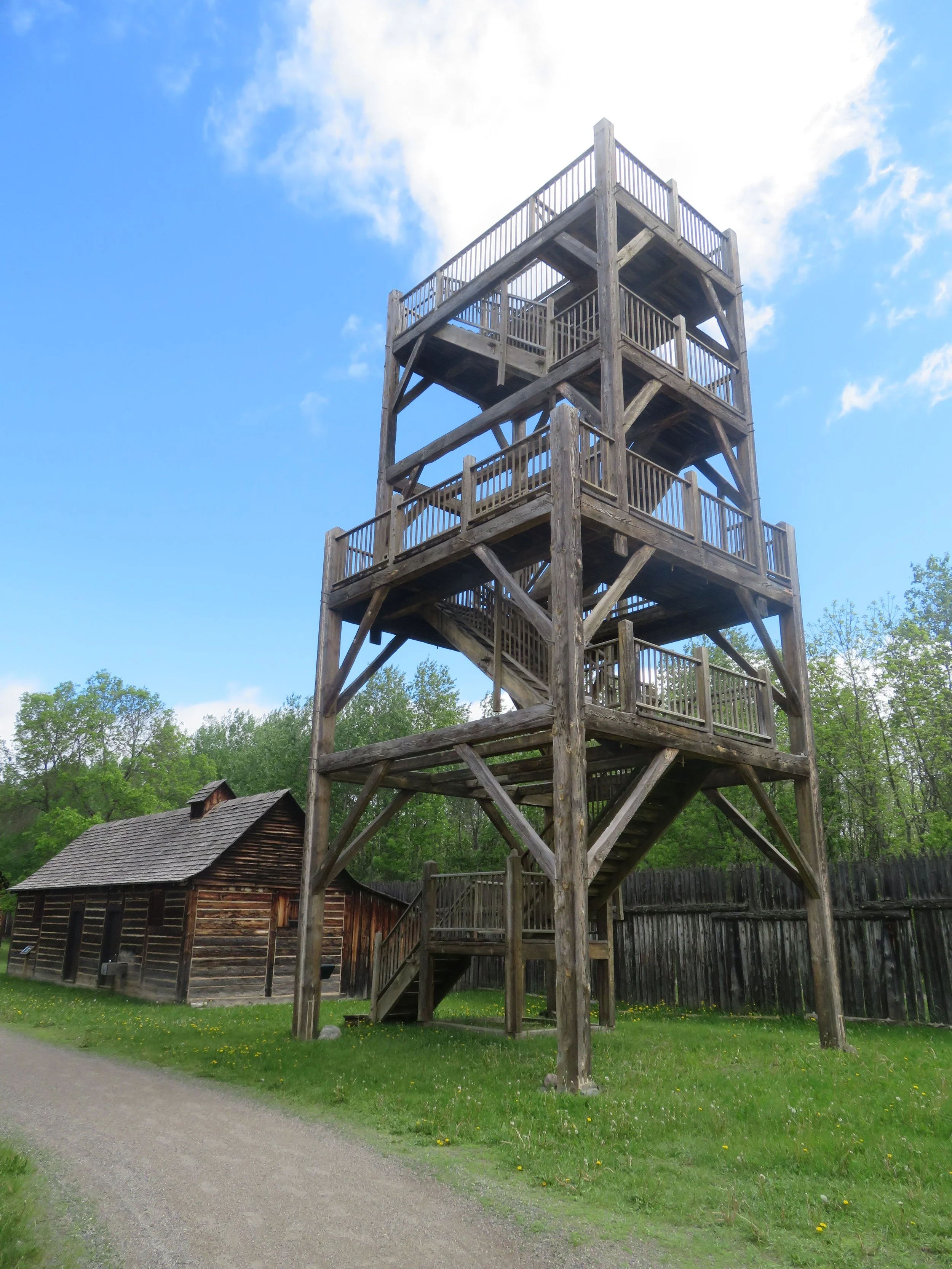
Located on the shores of the Kaministiguia River, Fort William was not a military installation, but rather the inland headquarters of the North West Company (NWC). In 1815, the NWC was the world’s largest fur trading enterprise with trading posts that stretched across what is now Canada. A meeting of cultures took place as Scottish businessmen, French-Canadian voyageurs and indigenous people came together to trade goods, information and services.
Ever budget-minded, I’d done a bit of homework in advance and found a 2-for-1 coupon for admission ($16 for both us). We unfortunately arrived on a day when several busloads of elementary school kids were also visiting. We walked down a long gravel path through the forest from the visitor center to the fort entrance with kids running in front, behind and around us, all excitedly chattering while being unsuccessfully reined in by their chaperones. We remained calm.
Passing through the main gate, we joined Jacques, our costumed voyageur tour guide (the kids had their own guide) and began an hour long tour of this living museum and its operation.
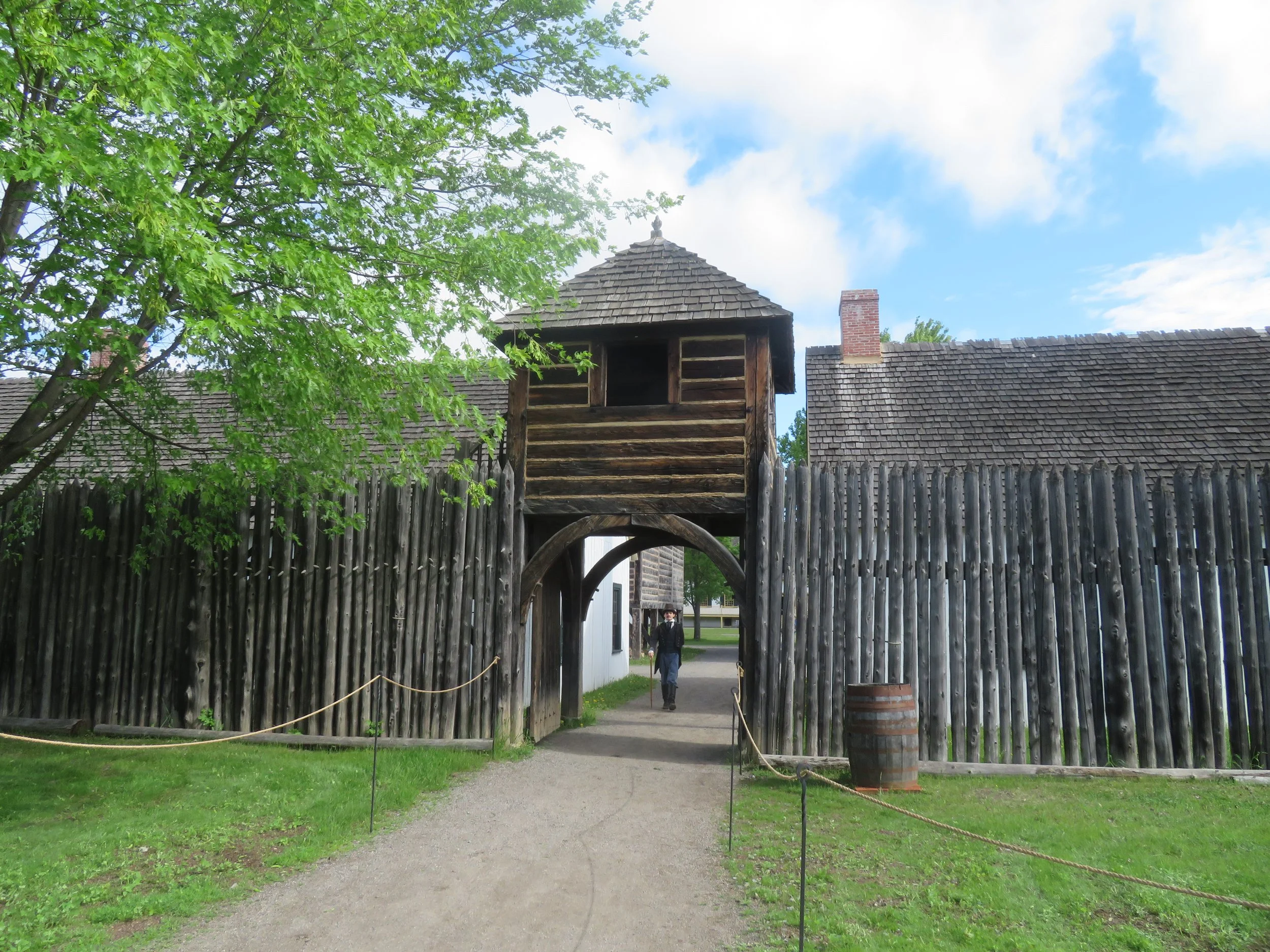
Entering Fort William
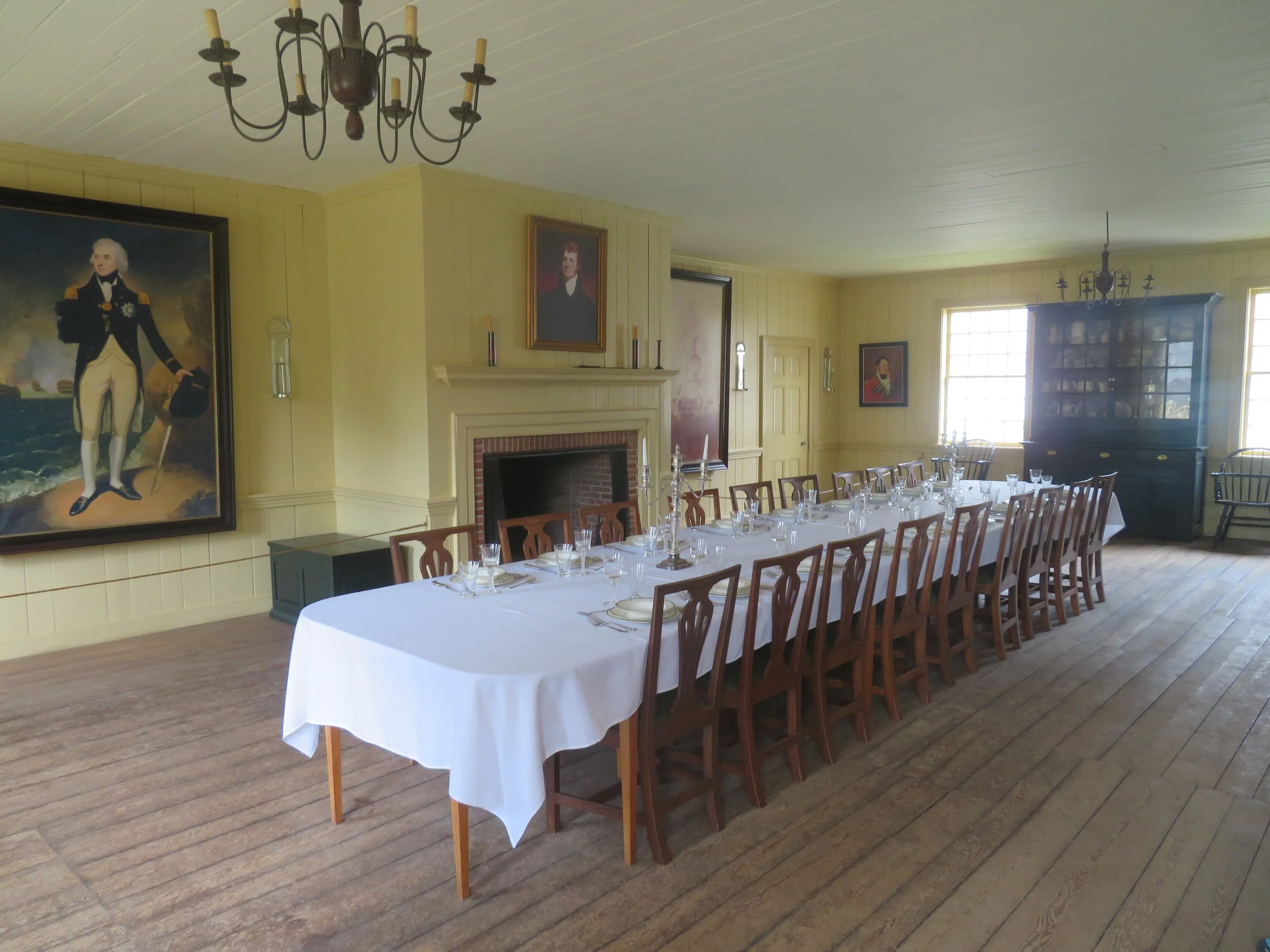
During the summer of each year, the Scottish partners (owners), the guides, the voyageurs, the Anishinaabe, the Métis and others all gathered at this fort for the annual Great Rendezvous. It was a time of socializing, trading, business, planning and renewing of friendships.
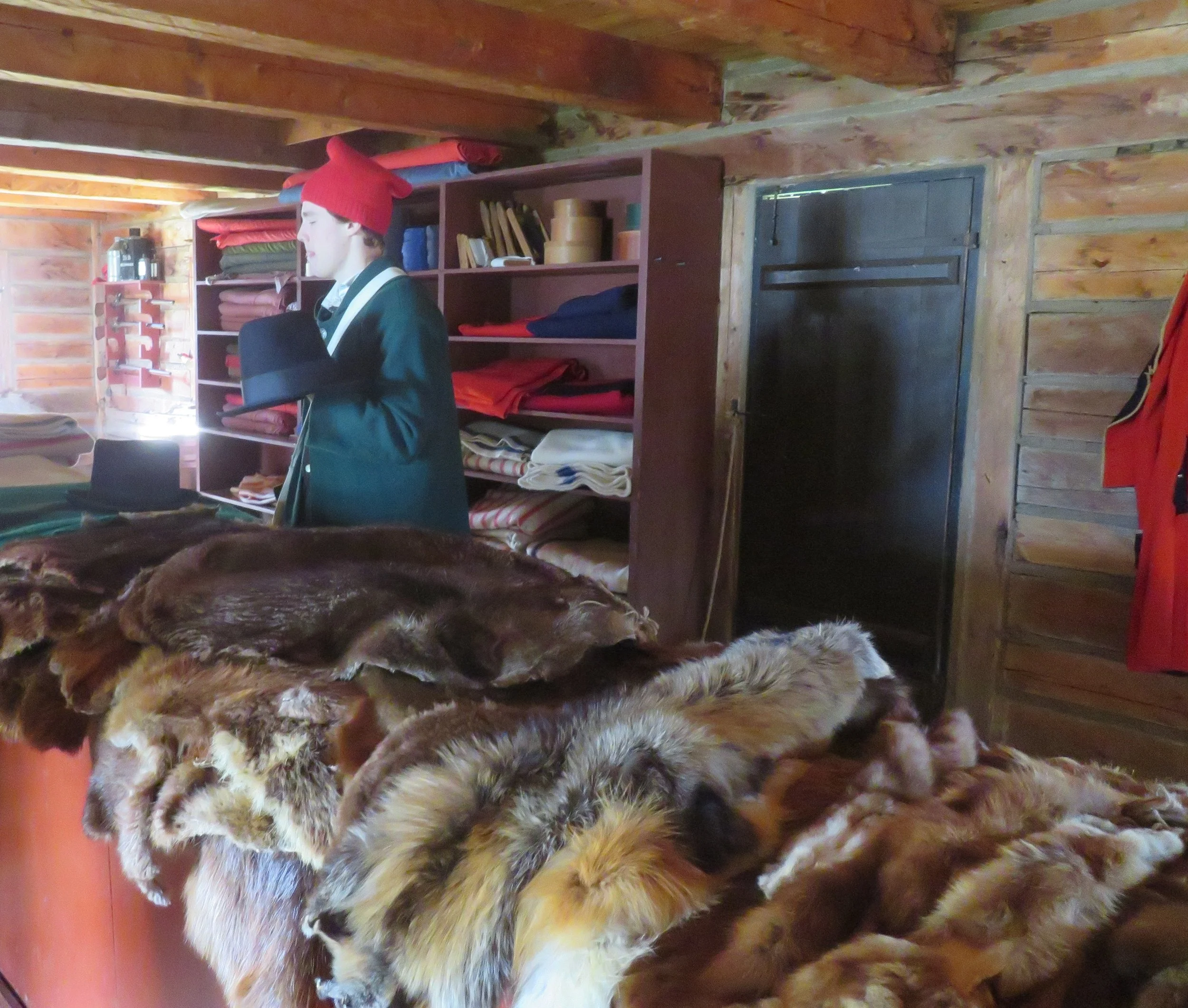
We followed our in-character guide, listened to his commentary and toured the fur stores, the canoe shed, the hospital, the guides’ house, sampled a chunk of bread at the kitchen bakery and were very impressed with the elegance and luxury of the Great Hall. Click on a thumbnail to enlarge the photo for a better view.


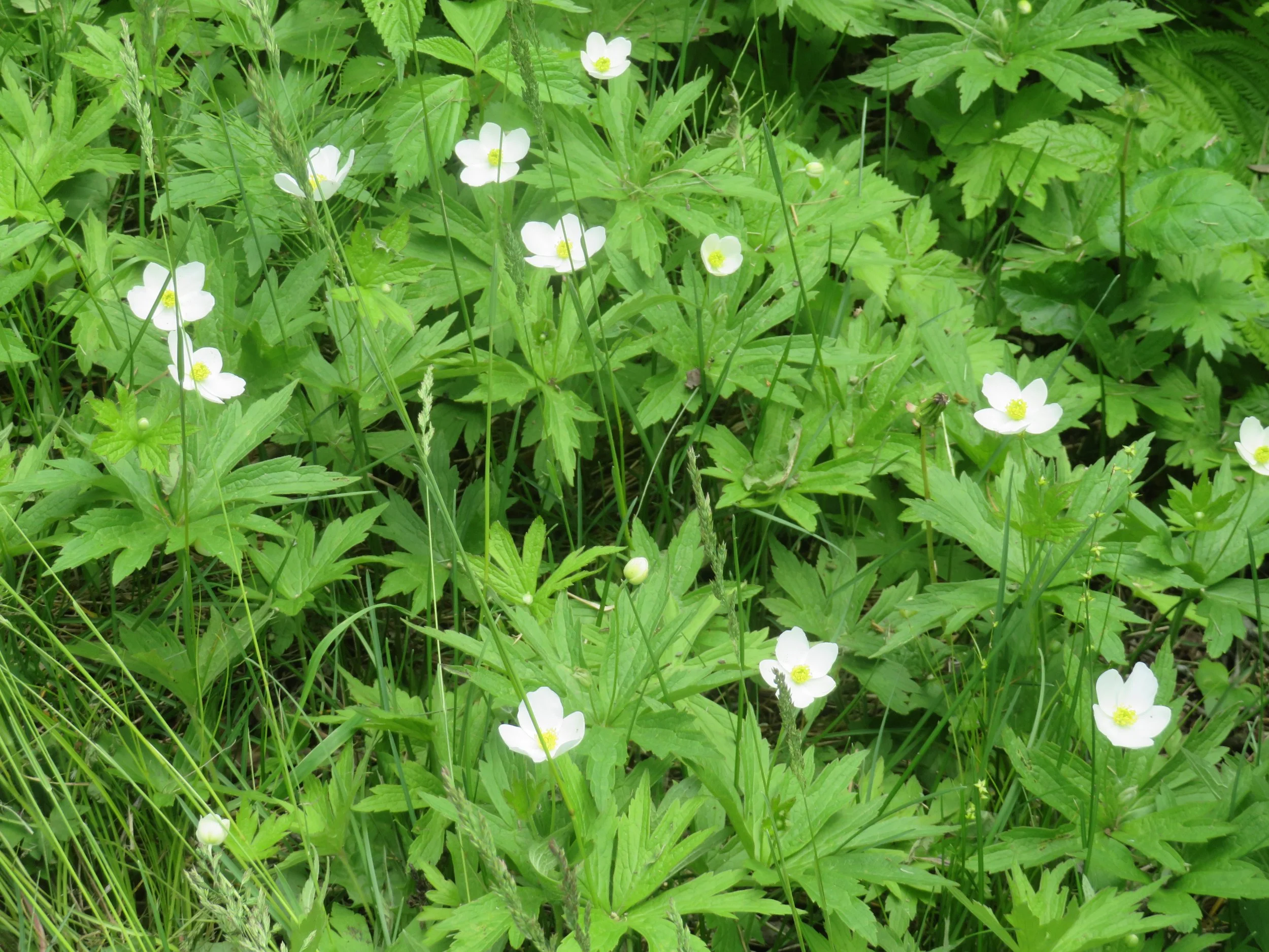
Tour ended, we wandered around the fort for a bit. Walking back to the Visitor Center along the same gravel path we’d previously taken, we were alone and had the opportunity to check out the nearby Anishinaabe encampment. At our slower pace, we could appreciate the lush ostrich ferns that lined the path, the forest of birch and ash trees and the delicate meadow anemone that were in bloom.

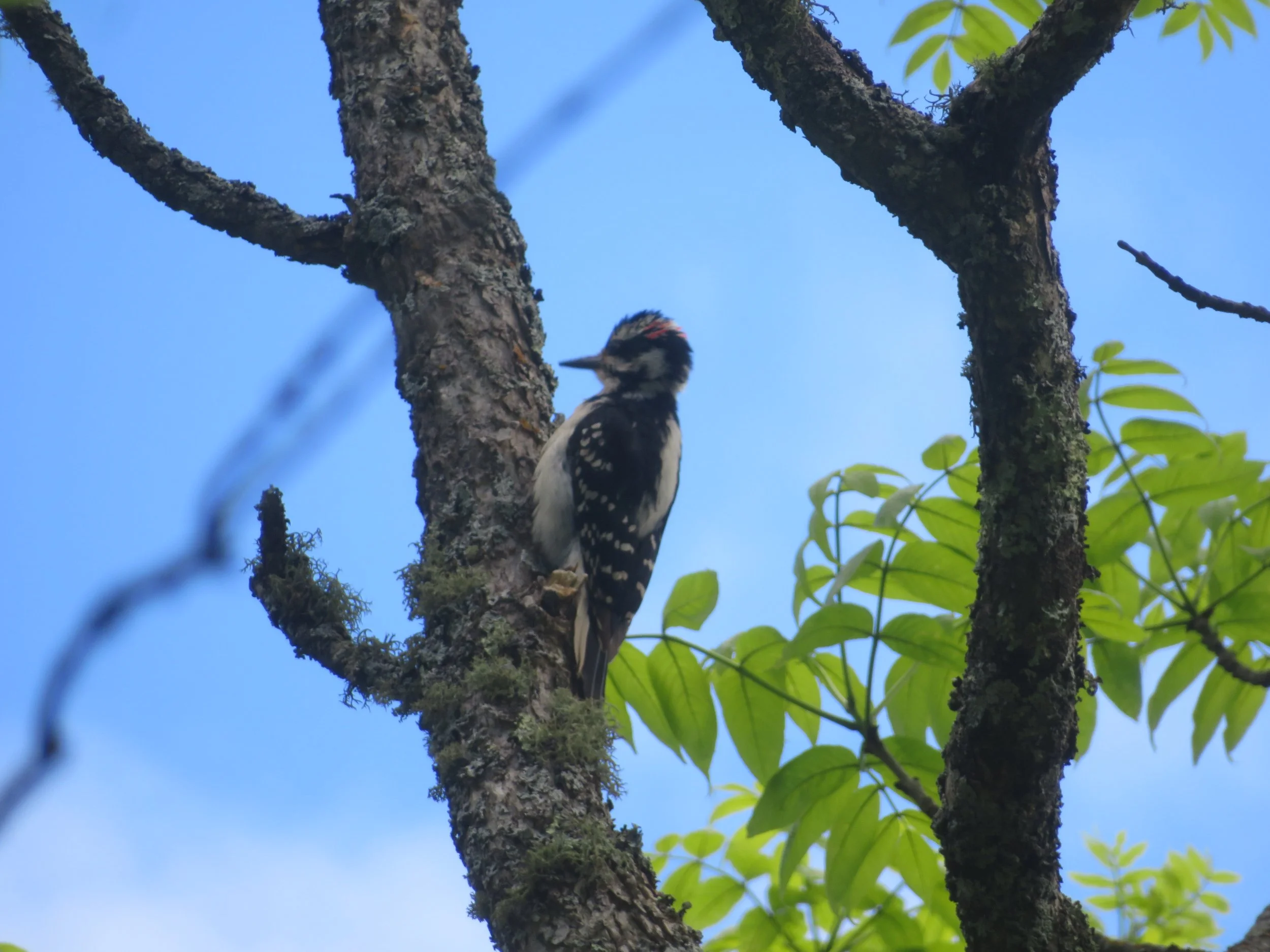
A hairy woodpecker’s rat-a-tat-tat caught our attention.
Back on the road, we gassed up then made a stop at the Real Canadian Superstore, one of my favorites, to restock the larder, then headed east out of town on 11/17E along the shores of Lake Superior. As the day waned, we found another Flying J Travel Centre for the night… convenient, easy and free.

WE drove along 11/17 for a bit, but then took an alternate route on 11E heading across Ontario.
Rather than retrace the route on 17E we’d taken last time, we opted to head a bit north on 11E. There was extensive road repair and construction in progress. Flagmen appeared every few miles, but the wait was never long. Evidently, this 2-lane secondary road is the preferred truck route as well because we saw more semis than cars.
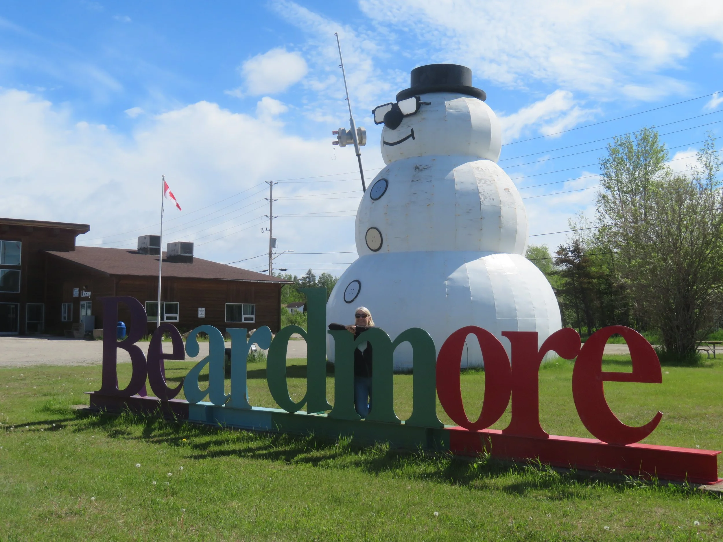
We stopped briefly in the little town of Beardmore to stretch our legs and admire the world’s largest snowman. At 35’, he’s the mascot for the self-proclaimed Snow Capital of the World. In summer, he wears sunglasses and holds a fishing pole. We read that he sports a scarf and curling broom in the winter.
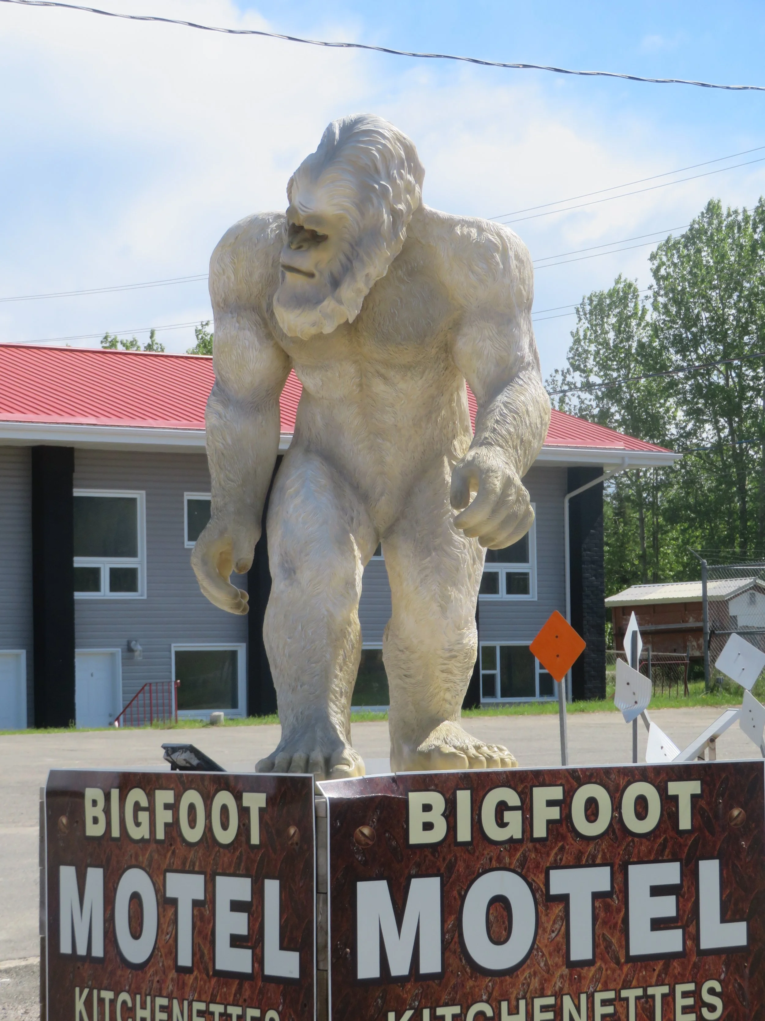
Just down the road from the giant snowman, we spied the Bigfoot, though not as tall, definitely just as photo-worthy as the snowman.
There’s a significant distance between tiny towns now. Lakes and rivers are frequent and the scenery is quite beautiful. We spotted a pair of sandhill cranes on the roadside, but we spooked them when we stopped and they flew before we could photograph them.

The lakes and river scenes were wonderful.
We took a breather in Hearst, the Moose Capital of Canada, long enough to photograph the life-size Moose and Wolves sculpture.
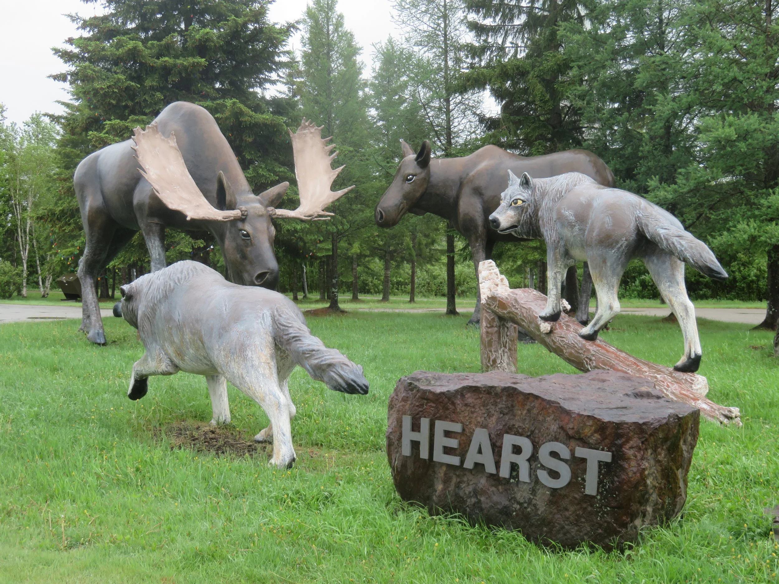
Life-size Moose vs. Wolves was pretty impressive.
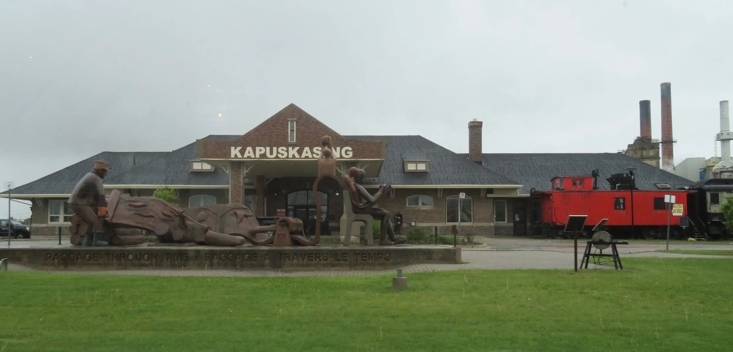
Kapuskasing is a logging town. Outside its Welcome Center is the ‘Passage Through Time’ sculpture that pays homage to the town’s pulp and paper industry. Unbeknownst to us, the town is also noted for having a large internment camp during World War I, not unlike the USA. From the town’s website, “When the First World War began, Canada established internment camps to detain persons viewed as security risks. Prejudice and wartime paranoia led to the needless internment of several thousand recent immigrants. The majority were Ukrainians.” Had we known, we might have stopped to see the plaque that has been erected there in remembrance of a sad time.
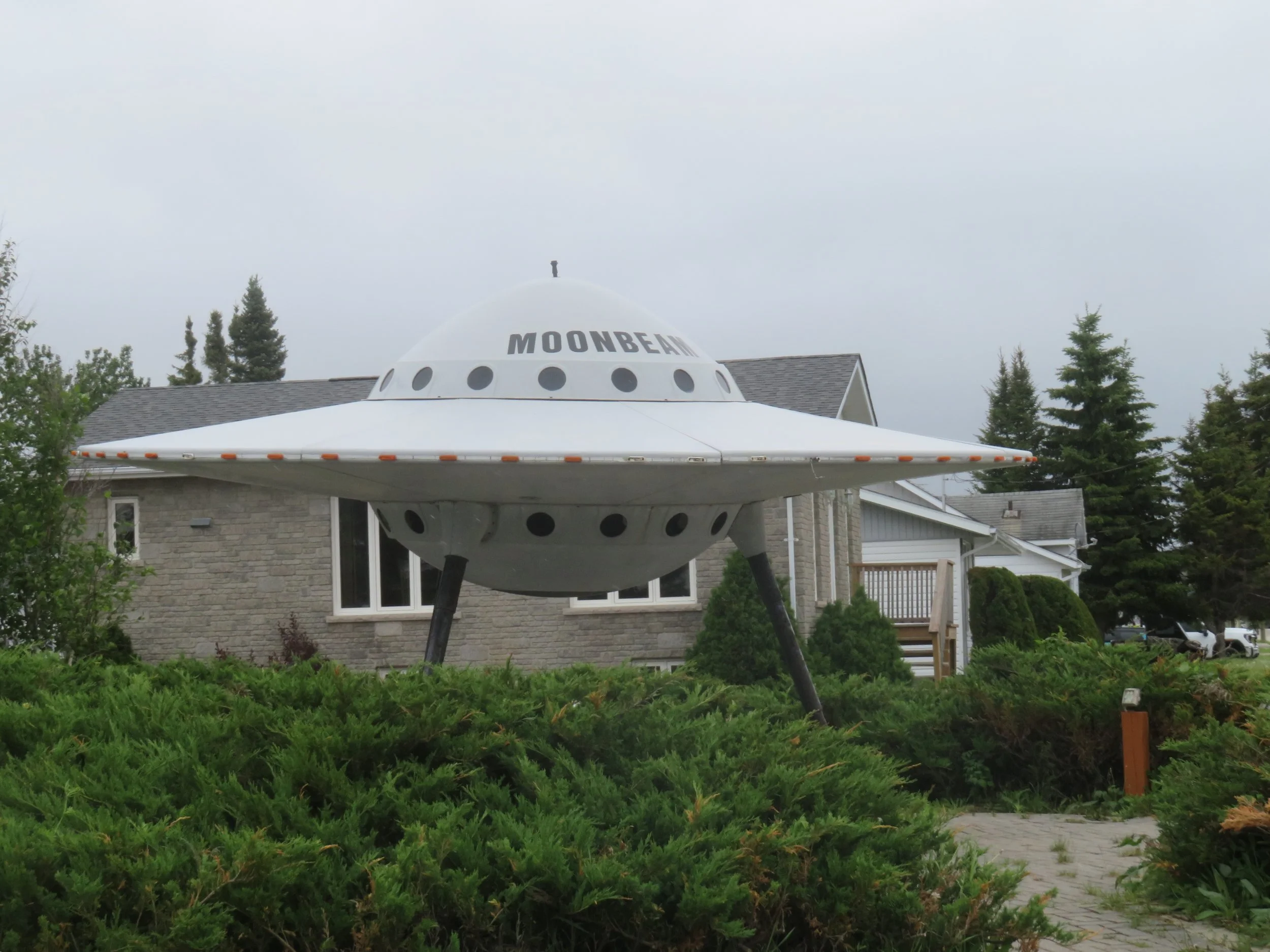
Moonbeam was a surprise. Both the town’s name as well as the flying saucer made us do a double-take.
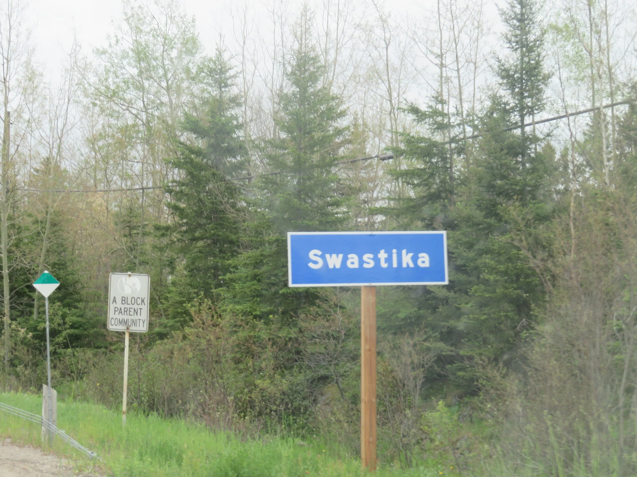
A town named Swastika? It seemed wrong until we understood the meaning of the word. We always associated the swatstika as the symbol of Nazism. In actuality, the word swastika comes from the Sanskrit meaning wellbeing, prosperity and good fortune, and has been used in Eastern religions for millennia. The town was named for the local goldmine in 1907, an appropriate name for a mine that they hoped would be productive. According to Wiki, “During World War II, the provincial government removed the Swastika sign and replaced it with a sign renaming the town "Winston." The residents removed the Winston sign and replaced it with a Swastika sign with the message, "To hell with Hitler, we came up with our name first." By the way, there is also a Swastika, New York near Plattsburgh.
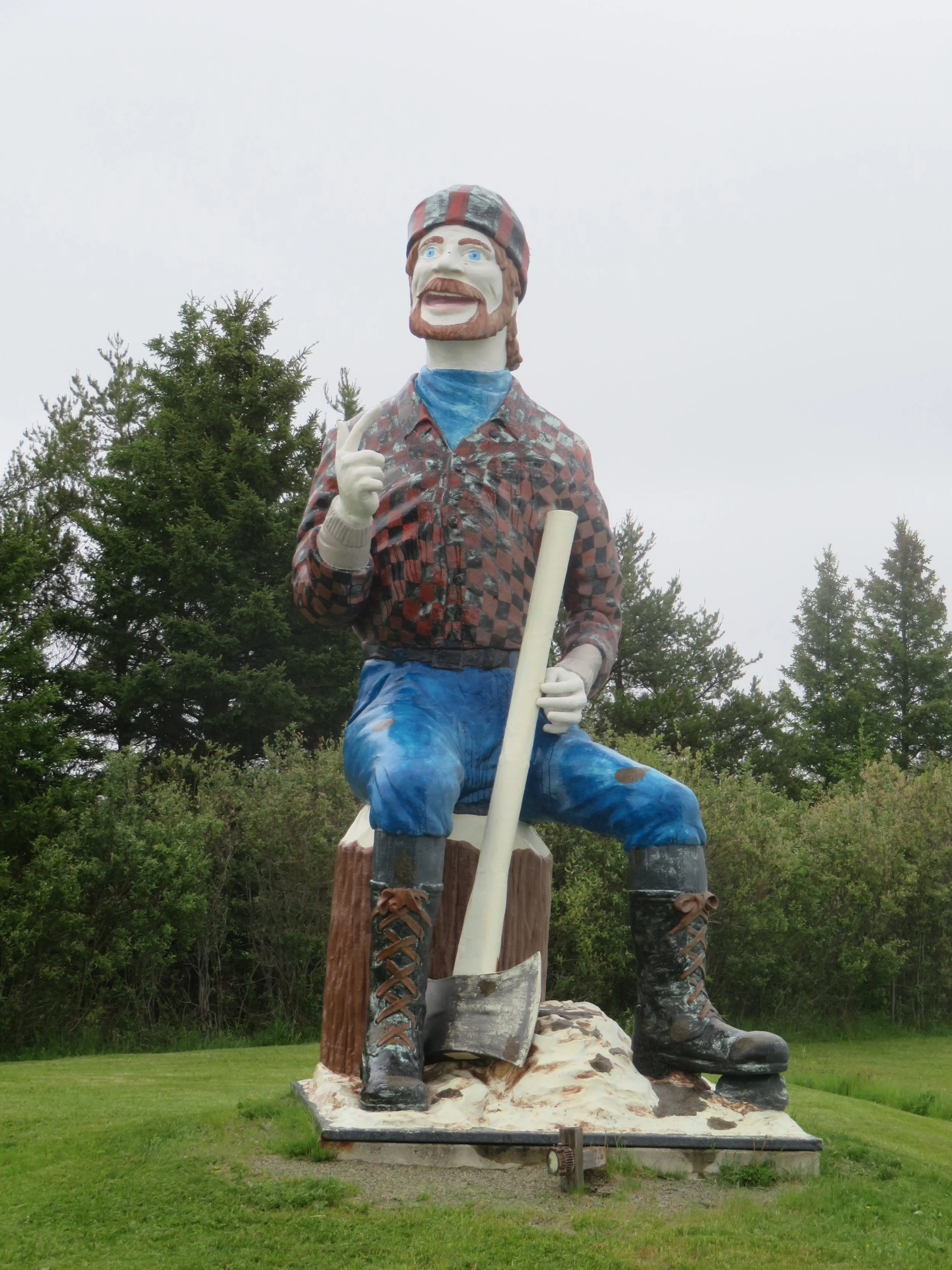
At Iroquois Falls, we met Guy-Paul Treefall, a 20’ lumberjack whom we assume is a good friend of Paul Bunyan’s. Though it’s been debated, it might be that Paul Bunyan has a French-Canadian heritage and our American version of the mythical lumberjack might derive from a real life Québécois lumberjack, Fabian ‘Joe’ Fournier.
An overnight in Kirkland Lake and voilà… we were in Québec. Next time, we head to Québec City, one of our favorites, for a couple days of sightseeing. Join us.
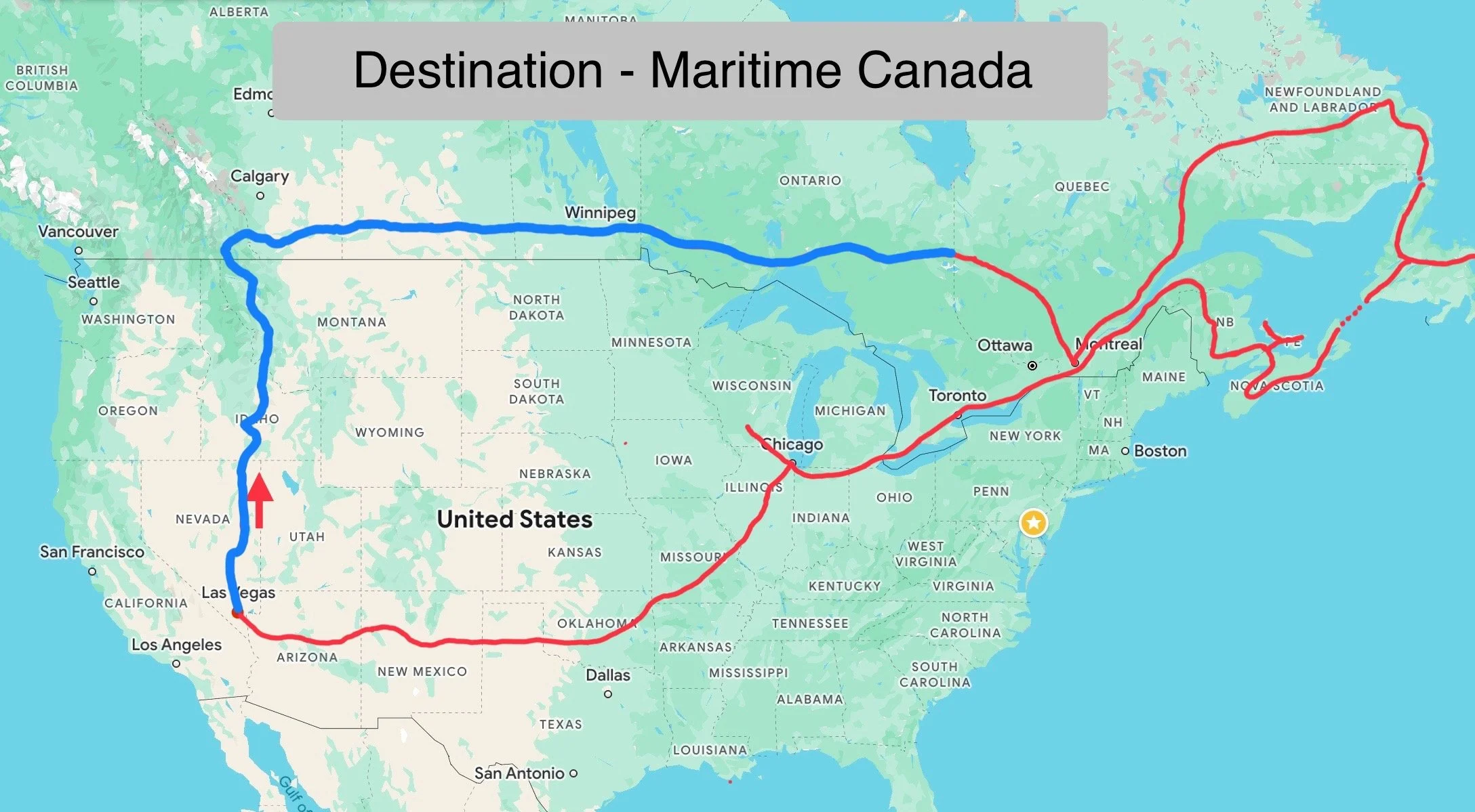
Check out the map below to see our progress. The red line is our proposed route and the blue line shows us at the Ontario-Quebec border. We’re getting there!