

Exploring the Mojave National Preserve
/Seeking cooler temperatures than our campsite at Big Bend of the Colorado in Laughlin, Nevada, we decided to headed to the Mojave National Preserve just over the border in California about 85 miles away. We made a quick stop in Bullhead City, Arizona for some cheap gas ($2.85/gallon vs $6.09/gallon in California…ouch!).
Established in 1994, the 1.6-million-acre Mojave National Preserve encompasses a big chunk of the Mojave Desert with nearly 50% of the preserve being designated as wilderness… hiking and horseback riding are allowed, but no motorized vehicles or bicycles.
We exited I-40 at Essex Road and drove north ~10 miles. Once off I-40, the desert asserts itself with Mojave yucca, creosote bushes, Joshua trees, scrub and cacti dominating the arid, buff-colored landscape.

Rain is sparse here, but when it comes, it comes with a vengeance which necessitates the flash flood warning signs we frequently saw posted.

As we drove along, we noted the temperature drop degree by degree. It was 92F (33.3C) when we left Laughlin. Another 10 miles on Black Canyon Road and we arrived at Hole-in-theWall Visitor Information Center and the campground. As we gained altitude to Hole-in-the-Wall Campground at 4400’ (1341m), we were delighted to see the temperature steady at a comfortably dry 82F (27.7C). Just what the doctor ordered.

We checked in at the Visitor Info Center for our campsite and picked up some park and trail maps, then headed to our campsite. Hole-in-the-Wall Campground is located in an eons-old caldera surrounded by walls of porous volcanic rock. Great crags and bluffs and mesas rise up from the desert floor and provide a wondrous view from the campground.

View from our campsite
The campgrounds are spacious, well-spaced between neighbors and have picnic tables and grated firepits. Several vault toilets are available although several were full and out of commission. Luckily, the one closest to us was clean and open.

Campsite #2 at Hole-in-the-Wall Campground
Despite other campers in residence, the quiet is broken only by the songs of phainopeplas (aka silky flycatchers) and black-throated sparrows and the buzzing of bees en route to and from the blooming desert wildflowers.


Bees buzzed as they made their way to the blooms of this silver cholla
Ah, yes… the desert is in bloom. At higher altitudes, the bloom comes later in the season and our timing, though accidental, was perfect. Take a look at the colorful blooms we encountered in our exploration of area. Thank goodness for iNaturalist’s Seek app to identify all the flowers we probably once knew but have forgotten. The app works offline so you just snap a picture of the flower, plant, animal, tree, lizard, whatever, and it attempts to identify it for you and keeps a list of your observations.


After a light taco dinner, we sat for awhile in the quiet of the desert watching the sun set behind the mesas then retired to Blanche. For some reason, it was a restless night. It was cool and comfy enough, it was just one of those nights when sleep wouldn’t come for either of us. I checked my watch at 0230, then 0315 still wide awake, and again at 0420, then finally I dozed and it was 0700.

Sunset at the campground
After a leisurely breakfast of yogurt and fruit, we slathered up with sunscreen and walked down the connector path between the campground and the Visitor Center. Access to the Rings Loop Trail via a short nature walk is nearby. The trail is a 1.4 mile loop named for its unique use of heavy metal rings embedded in the rock to aid hikers in their ascent up a very narrow rock path through Banshee Canyon.

The path is well-marked and traverses ‘open range’. Though we didn’t see any cattle, evidence of their recent visits were most noticeable and we sidestepped the fresh and desiccated cow pies as we negotiated the trail. The only animal we spotted was a common side-blotched lizard.
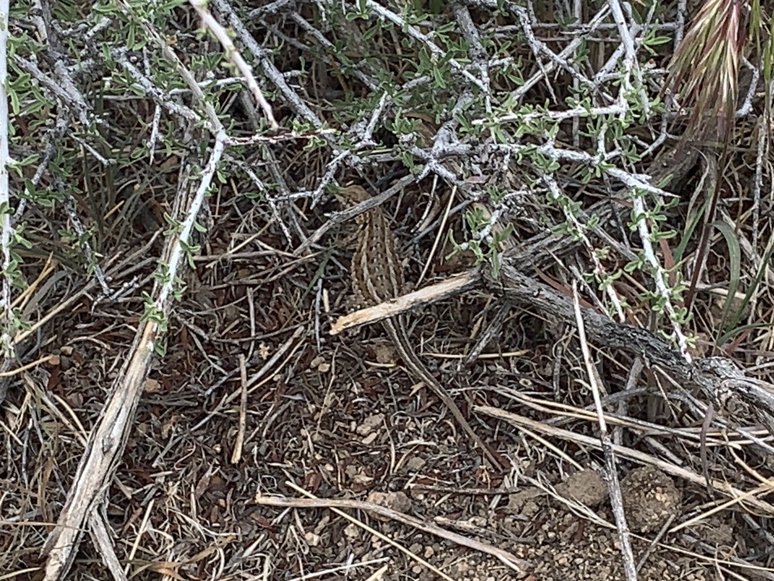
Side-blotched lizards are hard to spot.
It was hot walking in the sun. The trail is sandy in areas and rocky in others. Petroglyphs adorned some of the rocks.

Petroglyphs along the Rings Loop Trail
Finally we entered Banshee Canyon. This slot canyon was named by locals who claimed that the wind whistling and echoing through the canyon made the eerie sounds of the folkloric Irish wailing spirits. We appreciated the coolness as we scrambled up boulders shaded by the high canyon walls. Big Swiss-cheese holes in the rocky canyon walls were evidence of the area’s volcanic past. A warning sign “Check for wildlife before going into hole” seemed like sage advice.

The ‘rings’ for which the trail is named were readily apparent as we approached. Hefty steel and firmly fixed into the sides of narrow canyon wall, they were spaced within grabbing distance. I climbed close to the top, but where there should have been another ring, there was none and the smooth rockface afforded no footholds to hoist myself up the last three feet over the ledge. I gingerly made my way back down to where David was waiting and he went up first. I negotiated the ascent with the rings once again and David gave me a hand and pulled me up the final few feet.


At the end of the trail, a short path led to a different view of Banshee Canyon from above and grand view of Hole-in-the-Wall.

The Hole in the Wall!
Back at the Visitor Center, we took a break in the cool of the porch and checked in on their free wi-fi. We walked back to Blanche, lunched, took a quick walk around the campground then retired for an afternoon siesta.
A low pressure was predicted to pass through during the night with gusty conditions. We packed up our gear for an early morning departure. It was a blustery night, but the anchor didn’t drag! We were up early. Sprinkles of rain spattered the windshield. We opted to endure the 9 + 2 very slow miles on a rough, washboard, teeth-jarring dirt road to the Mid Hills Campground to check it out.

At 5500’ (1676m), it was cooler still. The temperature generally decreases by 4-5°F (2-3°C) for every 1000’ (305m). We wanted to scope out this campground for an escape from the upcoming summer heat. We noted good campsites then continued on the dirt road that led to paved Cima Road (hallelujah) and finally I-15 back to Las Vegas.
There’s much more to the Preserve than Hole-in-the-Wall and Mid Hills campgrounds. There are cinder cone lava beds to explore, mountains to climb, Mitchell Caverns and the Kelso Dunes as well as the Kelso Depot Museum and Visitor Center (currently closed due to renovation). We’ve only scratched the surface of things to see and do here. Guess we’ll have to come back.