

Kyle Canyon with the Kids
/
We don’t get to see our kids very often, maybe once or twice a year if we’re lucky and it’s usually when we visit them. They have their own busy lives and don’t live nearby. So we were excited when Brennan, our oldest son, and his wife, Hannah, recently visited for a couple of days on their way to a mule-packing trip in the high Sierras. On a side note: “Kids”… we still call them kids even though they’re in their 40s. Old habits die hard. Did our parents always call us kids, too? I suppose they did.
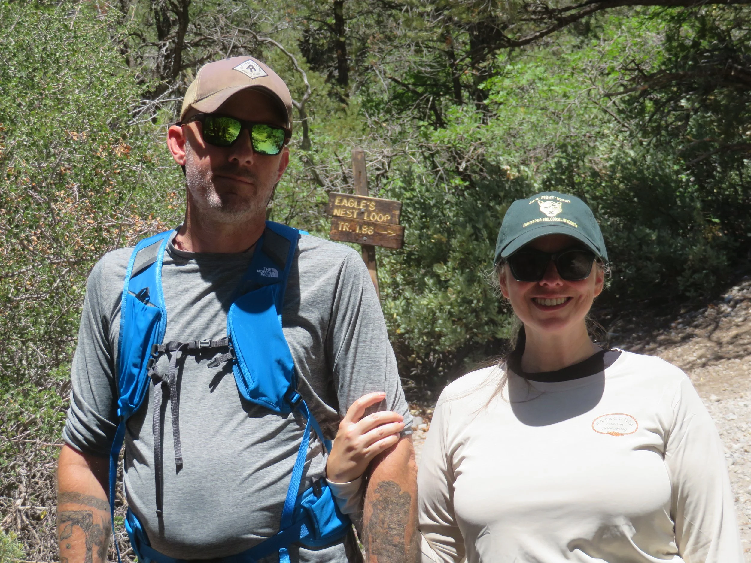
Brennan and Hannah are both active, outdoor types, and since they weren’t with us for long, we thought visiting our new-found local attraction, Mount Charleston, would be in order. The three-digit temps in Las Vegas also contributed to our choice of destinations. It was bound to be cooler in the mountains. We headed to Mount Charleston’s Kyle Canyon. Since they live at sea level and wanted to get acclimated to higher altitudes before their Sierra adventure, it seemed that hiking at 8000’ would be reasonable. We’d sussed out the area the week before and found a good hiking trail.
A Nevada Scenic Byway, Kyle Canyon Road is a winding, eye-pleasing drive through desert, groves of Joshua trees and interesting geologic formations. As we experienced previously, we watched the temperature dip with every thousand feet of altitude we gained and welcomed the cooling change.
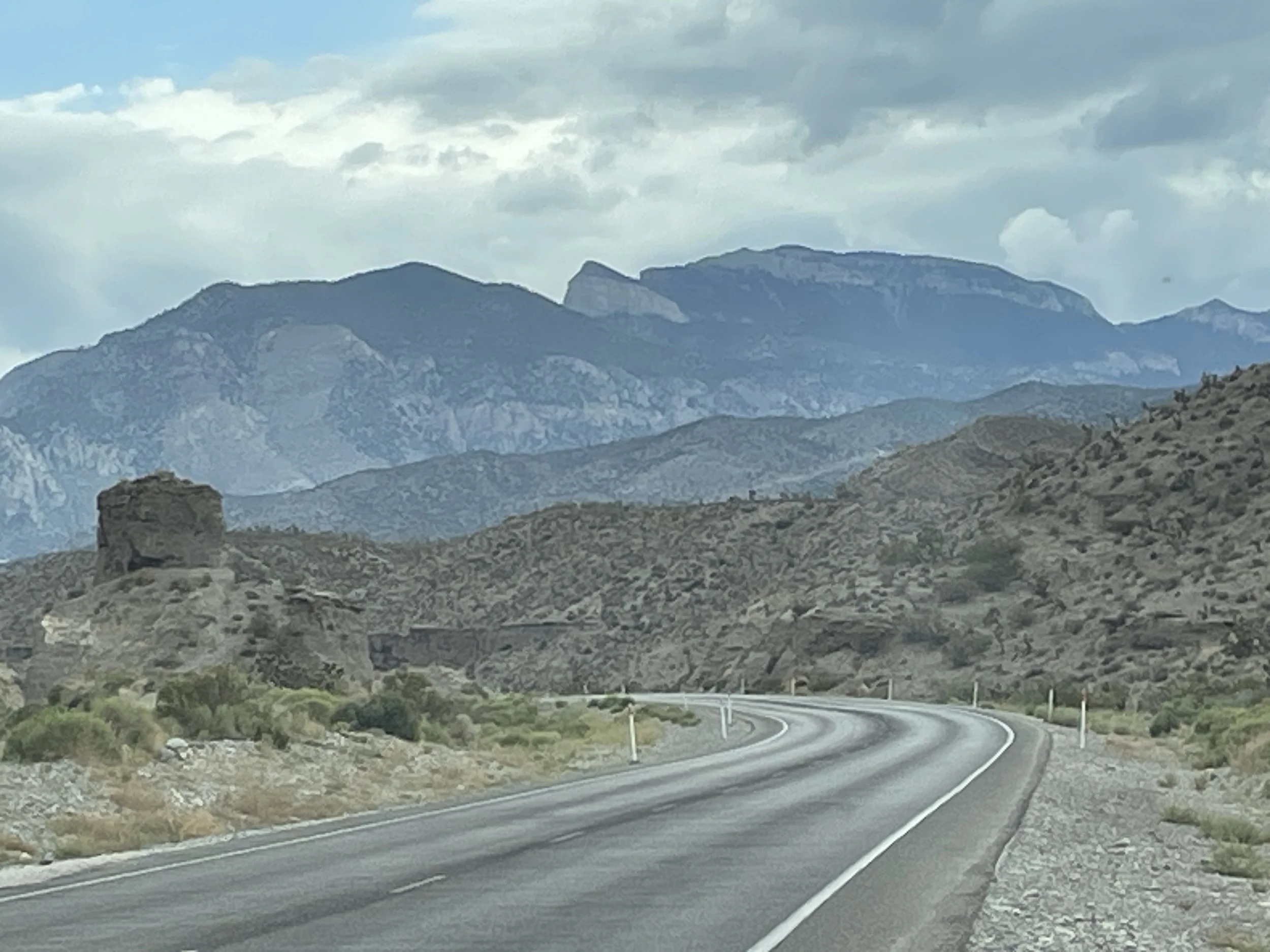
That’s Mount charleston rising before us.
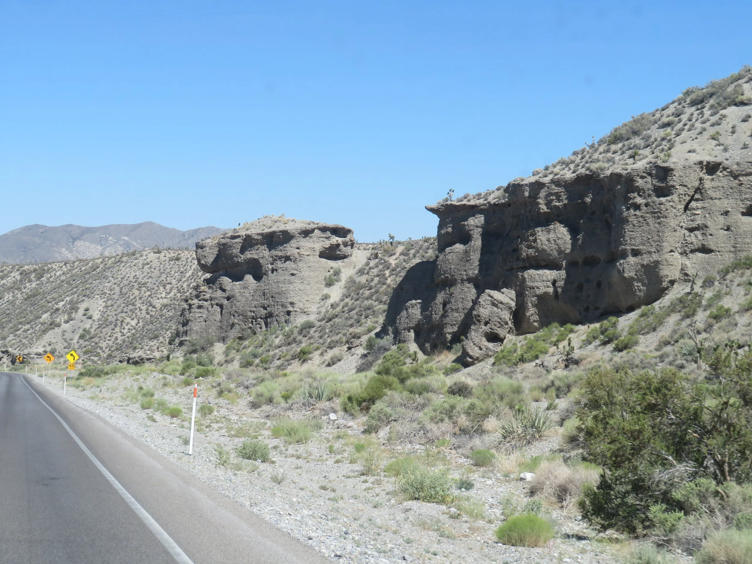
The road is lined with cool geologic features
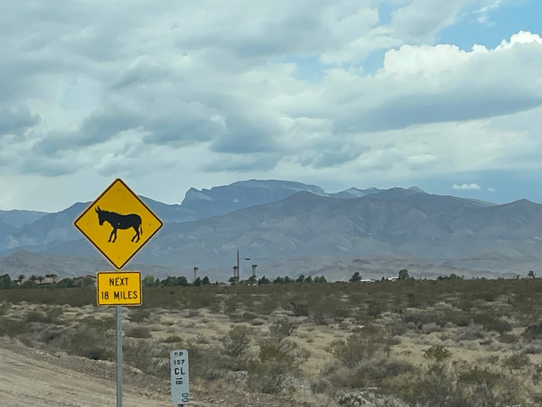
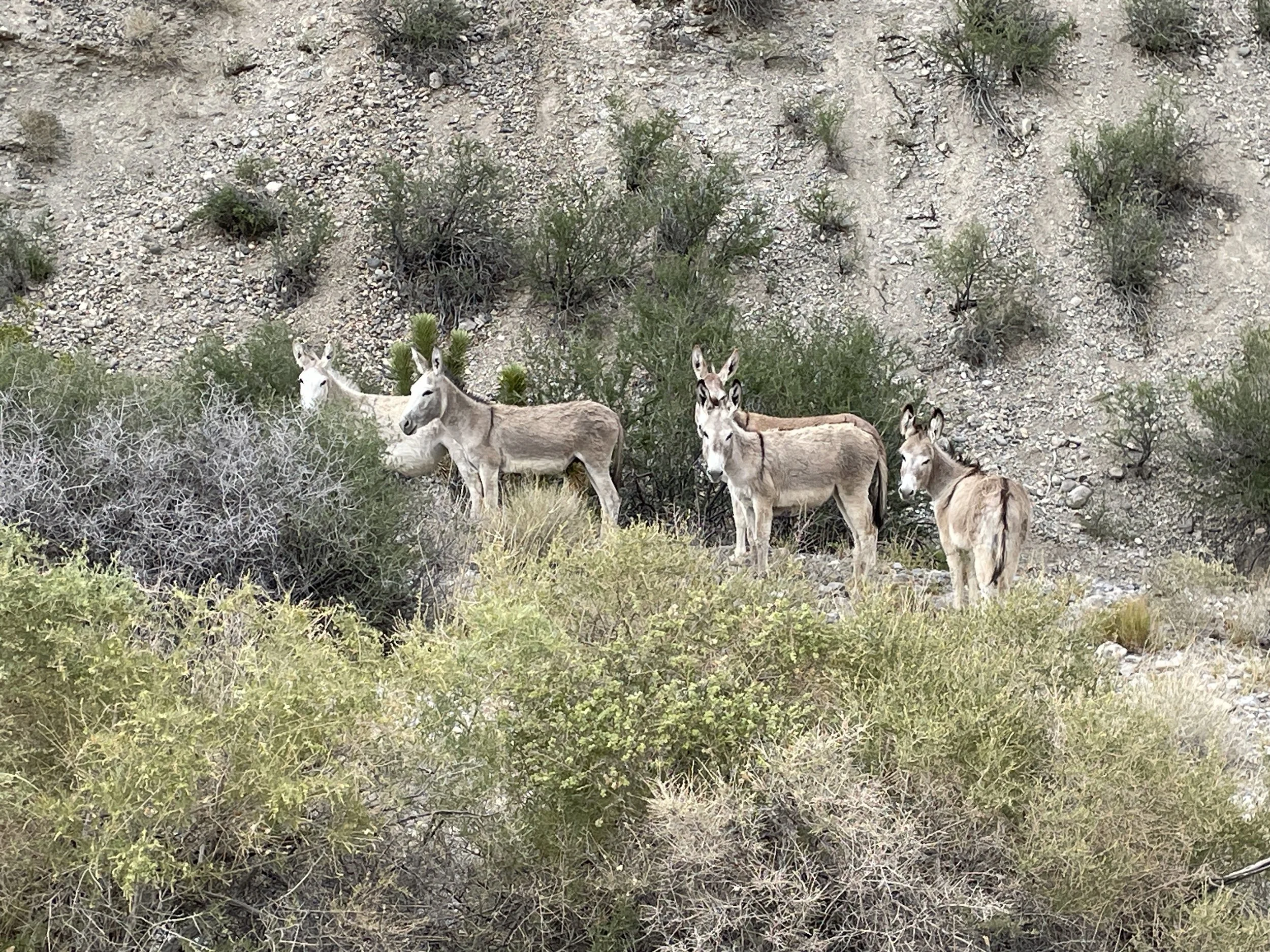
We’d seen the road signs warning of wild donkeys and horses, but hadn’t spotted them the last time we drove this road. This time, there were several congregated along the roadside. They cast a wary eye at us when David slowed down for photos.
We’d decided on the Eagle’s Nest Loop Trail, fairly easy, well-marked and only 1.86 miles return. It was accessed via the ¼ mile Fletcher Canyon Trail. Initially, the trail was a gradual incline. Once we turned onto the Eagle’s Nest Loop, there was one fairly steep section and then easy ups and downs for the remainder of the trail.
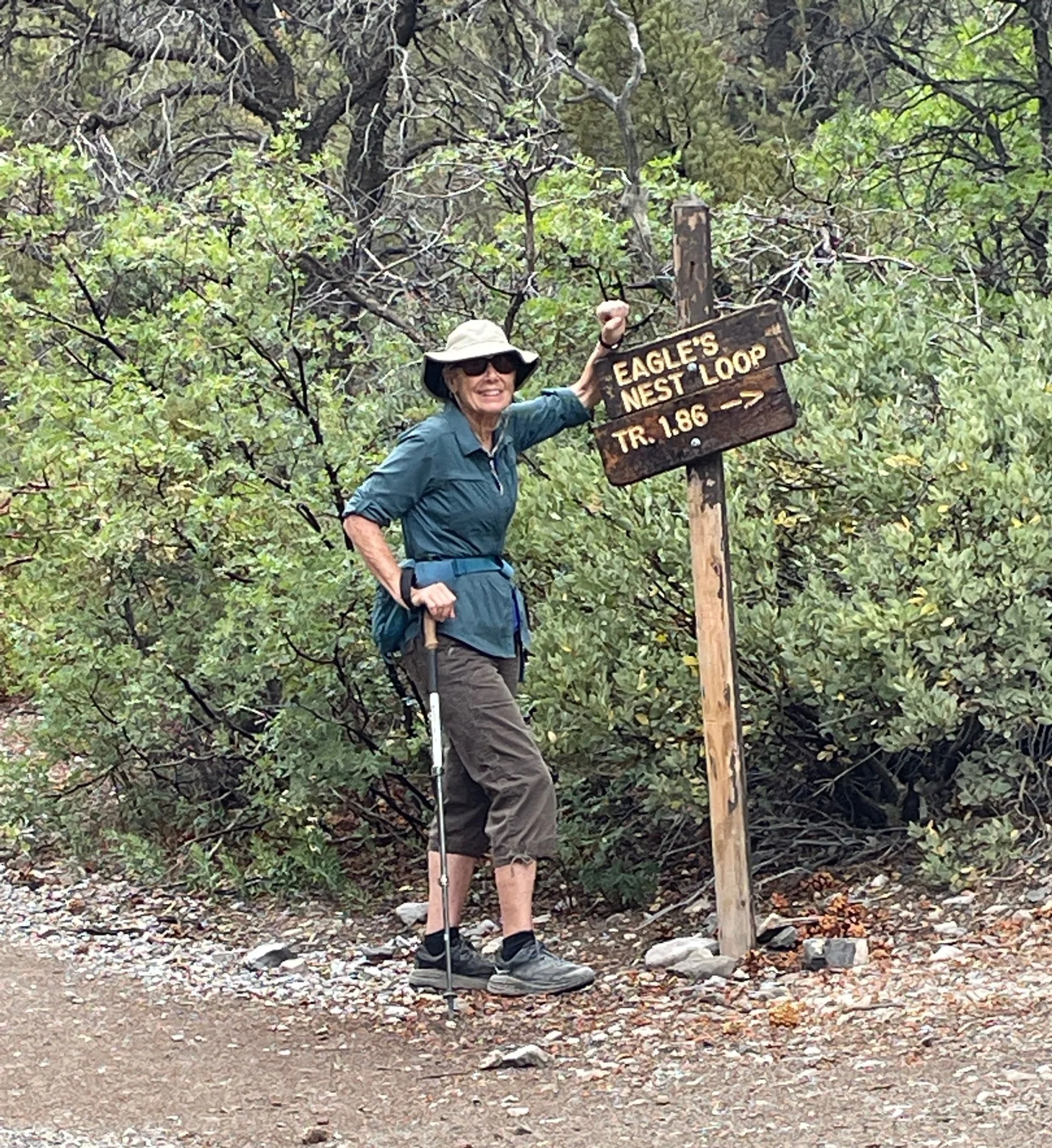
After one steep hill, the rest of the trail was easy-peasy.
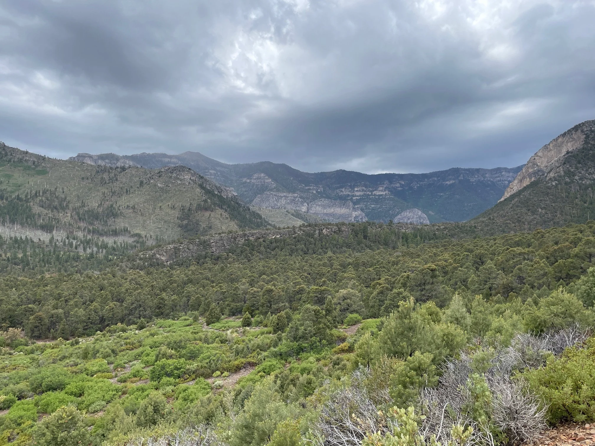
At 8000’+, the views of the canyons and surrounding mountains were gorgeous.
On our return, we checked out the Fletcher View Campground for future reference. Part of the Humboldt-Toiyabe National Forest, there are only 11 campsites, but all have electric hookups, which makes them quite popular. The camp host said the next available reservable site was in October, but first-come/first-served sites were sometimes available. Campers are allowed to stay for a maximum of two weeks, and many folks took advantage of the full two weeks.
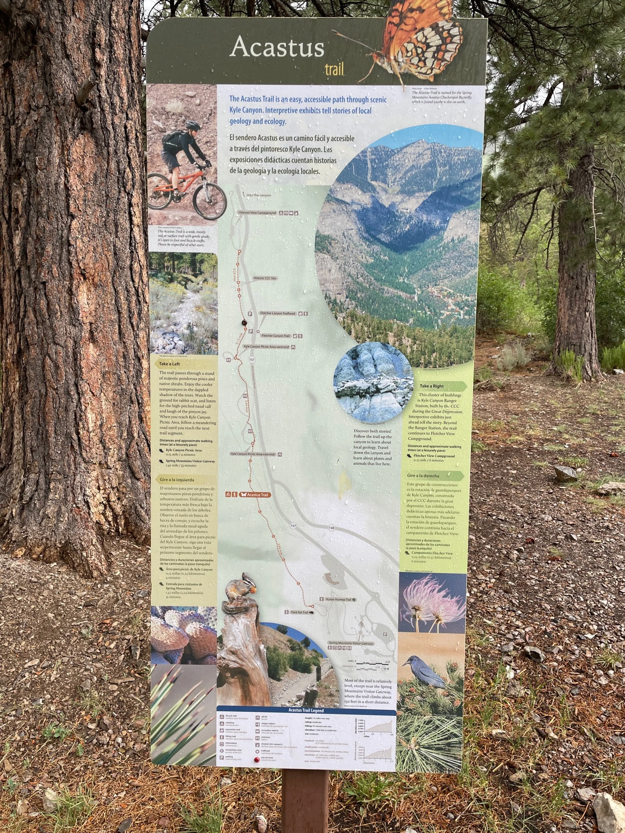
Next door, the Kyle Canyon Picnic Area with 25 sites offers camping during the summer as well as picnic sites. The campground was full. We made note of the Acastus Trail, a 3-mile round-trip out-and-back trail that follows the Kyle Canyon wash past historic CCC sites built in the 1930s. Part paved and part gravel, it might be a nice walk or short bike ride sometime in the future.
Since we’d gotten a late start, it was lunchtime when we finished our hike. No picnic sites available in the immediate area, we headed to the Spring Mountain Visitor Gateway. We’d packed a picnic lunch and found a pleasant spot at one of the many covered picnic tables. Fresh veggies, hummus, ice-cold watermelon chunks, chilled wine and beer, pita bread, and salad made for a light, but filling repast. We lingered over lunch, noshing, sipping, and enjoying the day and the much-loved company.
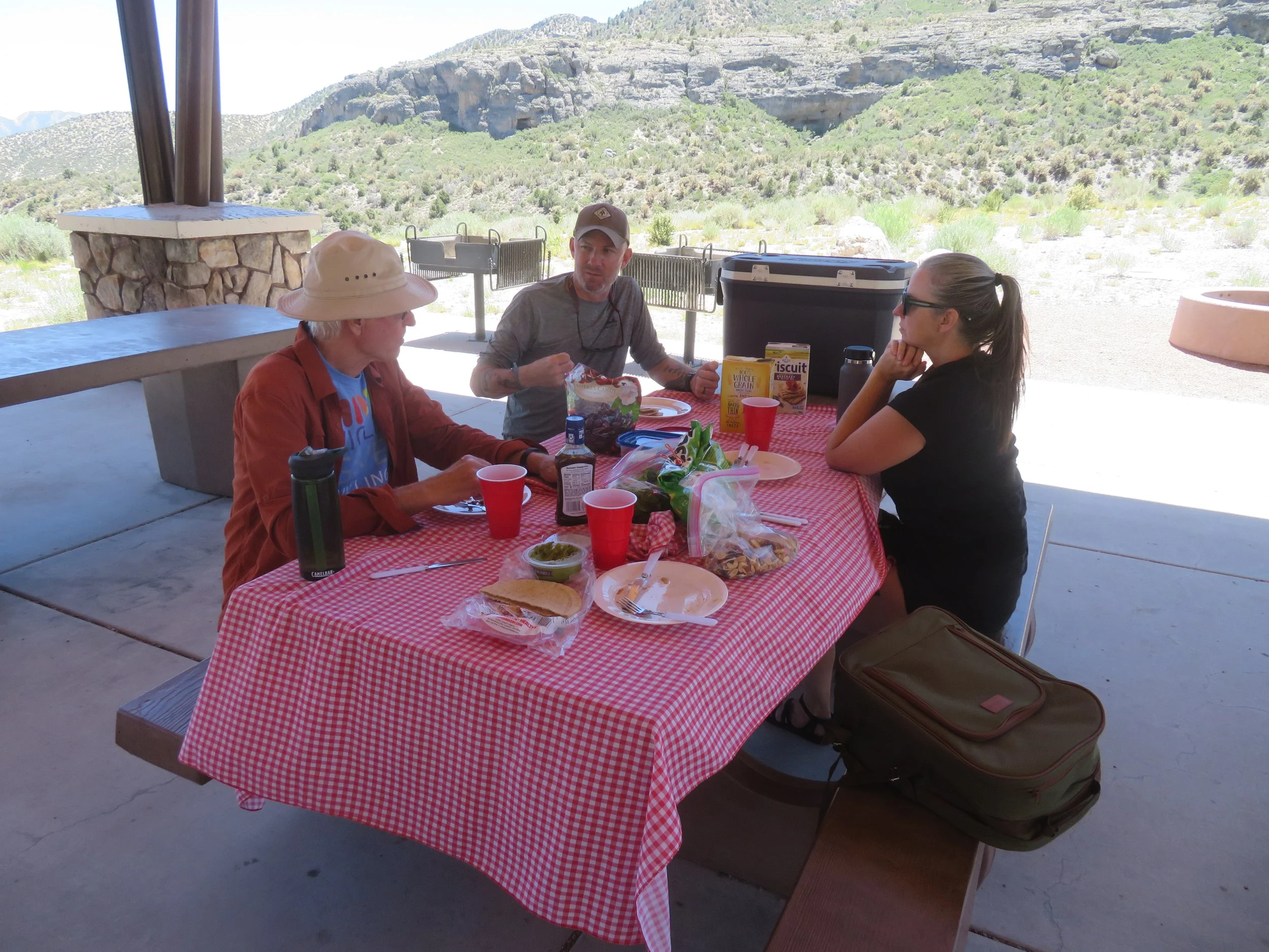
A covered table at the Spring Mountain Visitor Center was a perfect venue for a picnic lunch.
All too soon, it was time to head back to the heat of Las Vegas. Each time we visit Mount Charleston and the Spring Mountains, we find something new to whet our appetite for a return visit. We’ll be back soon.