

Heading to the Eastern Sierras
/When Brennan and Hannah visited us a couple of months ago, they were headed to the White Mountains in the eastern Sierras for a mule-packing trip. They drove from Las Vegas via the ‘scenic’ route and stopped along the way to see what they could see, including a hike in the Ancient Bristlecone Pine Forest in Big Pine, California. They wanted to say hello to Methusaleh, a 4,857-year-old Great Basin bristlecone pine (Pinus longaeva) who lived there in the White Mountains. We were so enthralled at the thought of wandering through a forest of ancient trees that we decided to take a trip there ourselves. We’d never spent much time in the Eastern Sierra area, plus we figured maybe some of the trees’ longevity might rub off on us!
The trip up US-95 once we left Las Vegas is long, dry, and desolate. US-95 is Nevada's longest highway, its north-south route connecting Las Vegas with Reno, the two largest population centers in the state. Just 30 miles outside of Las Vegas, rural isolation sets in. A few tiny dots on the map, like Indian Springs (Creech AFB) and Cactus Springs (a couple of mobile homes), aren’t much to look at.
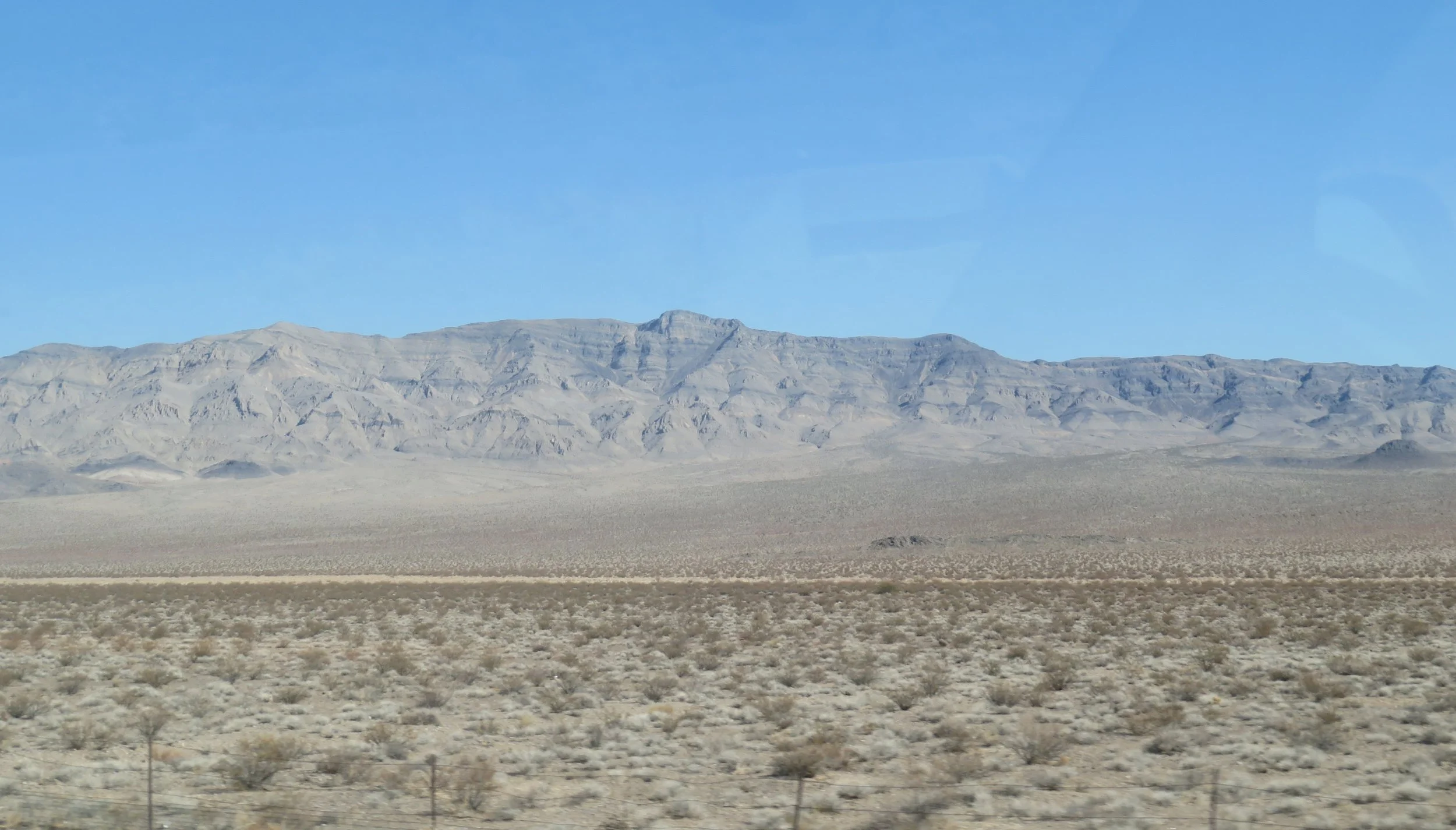
Rural isolation sets in about 30 miles north of Las Vegas.
Mercury, a former Atomic Energy Commission site for nuclear weapons testing and research, is mostly abandoned now.
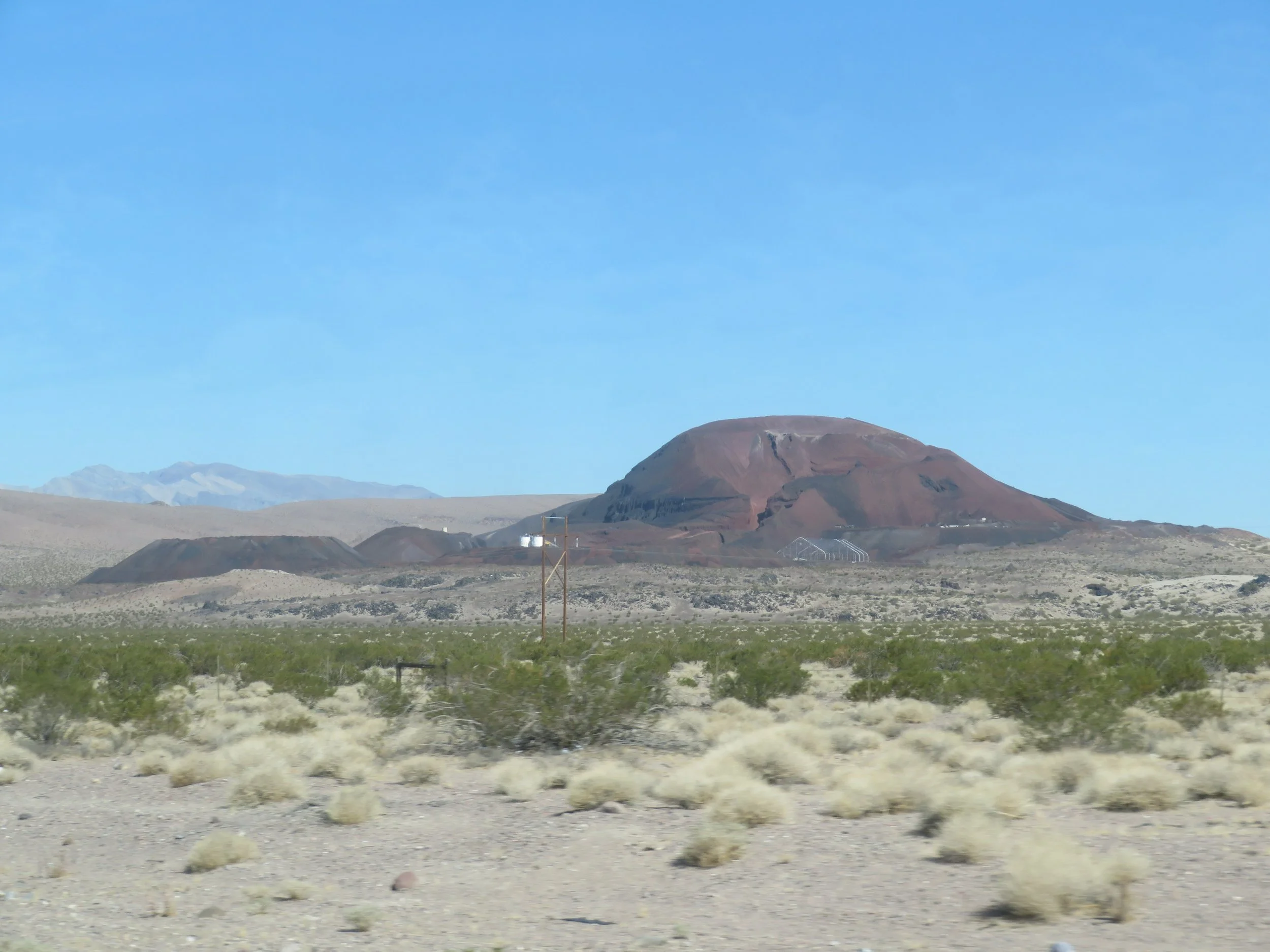
Several mining companies operate in this area. More than 80% of Nevada is owned by the federal government. The General Mining Act of 1872, still in effect, allows the mining industry to acquire claims from the government for a very low fee and hold them indefinitely. Nevada is, after all, the Silver State, though many more minerals are extracted. The mining companies pay no federal royalties on the minerals extracted. Tailings and open-pit mines are evident along the highway.
We stopped at the pleasant Amargosa Valley Rest Area, at the junction of US-95 and NV-373, for a stretch and a pee break. We breakfasted on a picnic table there in a grassy little park. Other than two filling stations with convenience stores and a fireworks outlet, which provided sound effects while we sat eating, there’s not much else to see.

The amargosa Rest Area was perfect for a breakfast stop.
Billboards and signs across the street from the rest area invite tourists to drive the Extraterrestrial Highway (NV-375) to Rachel, the location of the infamous and very clandestine Area 51 facility.


We passed through the old mining town of Beatty touted as the ‘Gateway to Death Valley’. Like many old mining towns, feral donkeys, offspring of pack animals abandoned by miners generations ago, still roam the streets.


The octopus sculpture on the old Exchange Club Casino building caught our attention. It’s part of a larger steampunk-themed art installation by its new owners, who are converting the historic casino into a new establishment.

A steampunk octopus in Beatty, Nevada caught our attention.
Just outside of Beatty, we saw the sign for Rhyolite, an old mining town now a ghost town. We gave it a pass since we’ve visited several times before. When we were there previously, the highlight for us was not the old mining town itself, but rather the Goldwell Open Air Museum, featuring sculptures like the Ghost Rider shown below, created in 1984 by Polish-Belgian visual artist Charles Albert Szukalski. Haunting pieces of art sitting in the middle of the Mojave Desert.

We didn’t visit Rhyolite this time, but we explored the ghost town and the Goldwell Open air Museum back in 2012. Shown above is ‘The Ghost rider’.
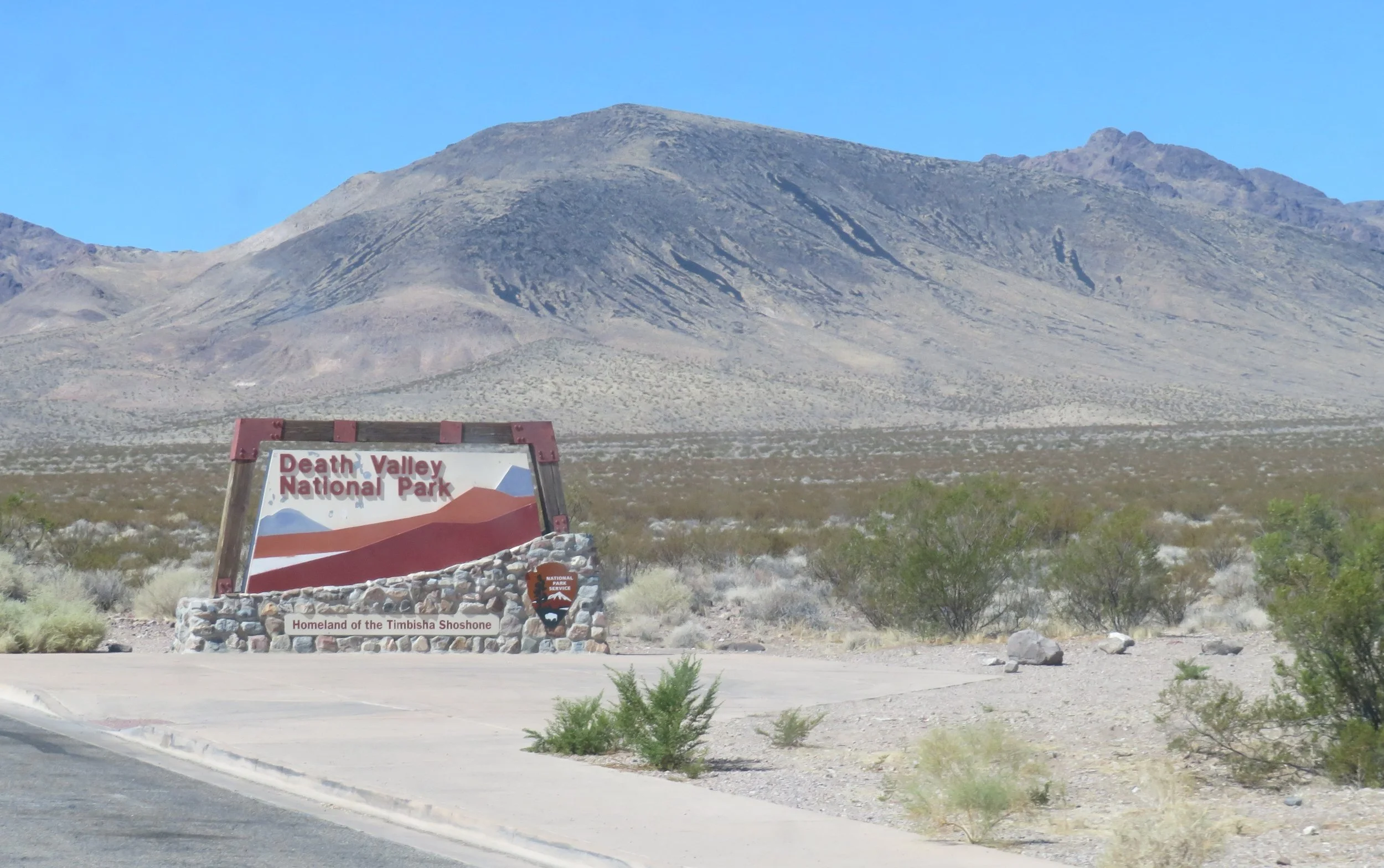
From Beatty, the route led us through a portion of Death Valley National Park.
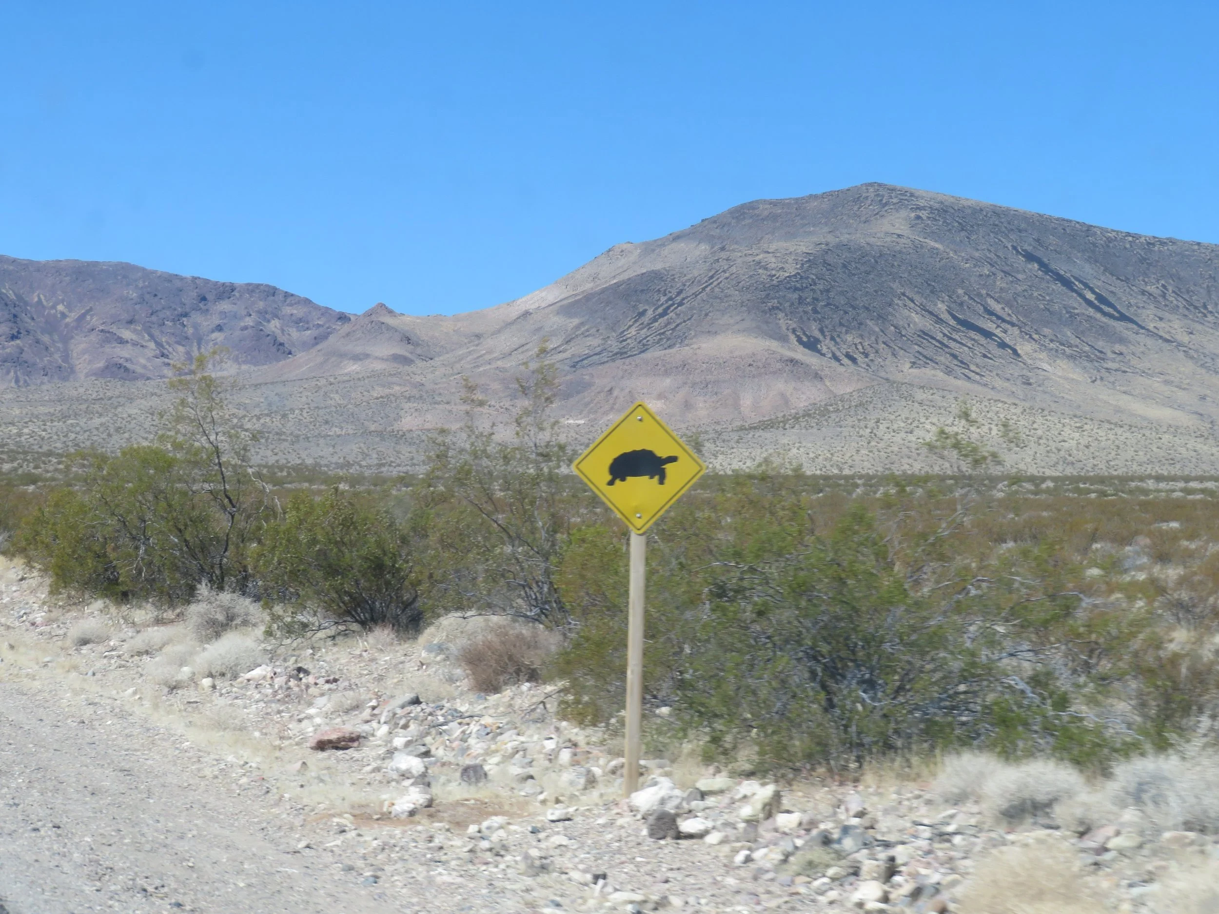
Instead of watching out for feral donkeys, it was tortoises we needed to mind, but we didn’t see any.
Our ears popped as we descended from the mountains to sea level in the valley. We watched Blanche’s outside temperature gauge creep up, up, up. This was definitely not the season for camping here, with triple-digit temps the norm. We were at sea level only for a short time before the road began climbing again. We climbed, ears popping with the pressure, until we drove over a mountain pass, and we headed down again.
We stopped at Father Crowley Point, a vista overlooking Rainbow Canyon, for a leg stretch and a colorful view of ancient volcanic activity. Beyond it lies the Panamint Valley.
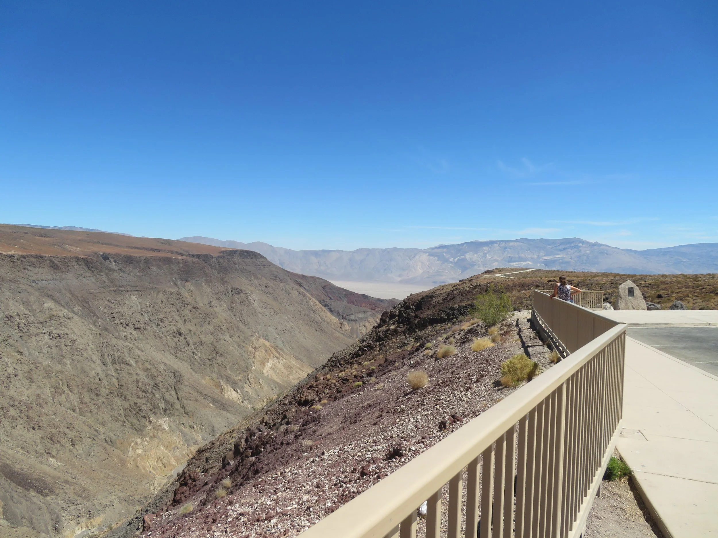
Rainbow Canyon at Father Crowley Vista Point
Father John J. Crowley, known as The Desert Padre, was a catholic priest who ministered to the Inyo County Parish in the 1930s.

This area is also known as Star Wars Canyon, a training location for low-level military navigation flights. As we were reading the info plaque, a jet thundered past us at low altitude… too fast to be able to identify the model, but it certainly caught our attention.

Star Wars Canyon … a jet thundered past us at low altitude
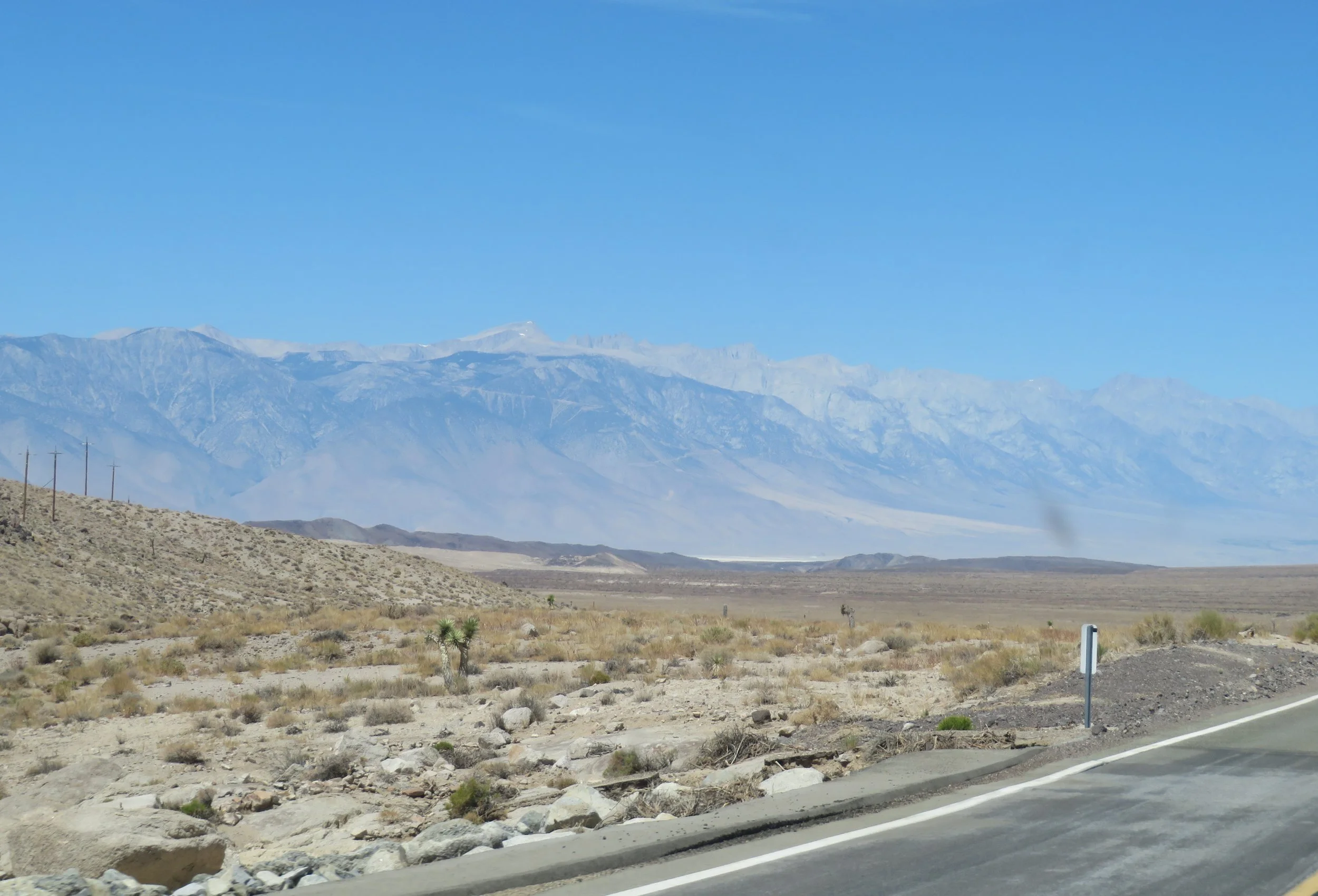
The land flattened out a bit at Lee Flats and Joshua trees appeared. In the distance, the ragged, sawtooth peaks of the majestic Sierras popped into view, patches of snow visible on the highest peaks.

In Lone Pine, we stopped once again, this time at the Eastern Sierra Visitor Center. An interagency center, the US Forest Service, National Parks and BLM usually man this facility, but federal cutbacks have limited on-site personnel. Instead, employees of Sierra Forever were on hand to greet guests and provide information.

The Eastern Sierra Visitor Center provided information to getting to the ancient Bristlecone Pine Forest.
We saw the entrance to the Ancient Bristlecone Pine Forest, but it was getting late in the day so we decided to head directly to Bishop, California to find a campsite for a couple of days. We planned to backtrack the 17 miles to Big Pine to visit Methusaleh the next day. It had been a long ride for us, slow travelers, just under 300 miles and ~6 hours. You know how we are.
We hustled through the busy mountain tourist town of Bishop and headed up CA-168 into the Inyo National Forest.
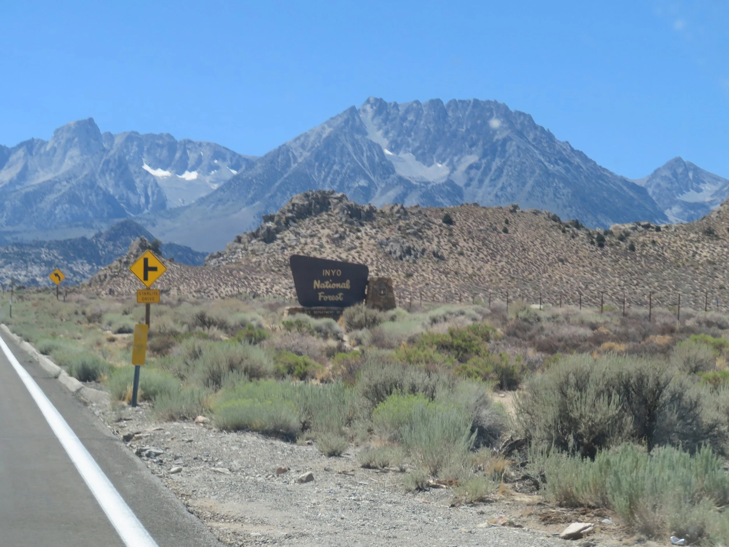
Entering the Inyo National Forest to find a campsite
About 12 miles up the road, we were pleased to find a campsite at the Big Trees Campground. The ‘big trees’ are the Ponderosa pines that tower 100’ along the roadside and creek. The campground offers 16 sites with the usual campsite amenities as well as both flush and vault toilets (all very clean and well-stocked), trash, and fresh water… all for $26/night, $13 with a Senior Pass. Site #8 was mostly level, with direct access to Bishop Creek across the street. Single-leaf pinyon pine, curl leaf mahogany and Ponderosa pine surrounded the campsite and provided plenty of shade. The rush of creek water was thankfully loud enough to drown out the noise of generators from nearby RVs.

Campsite #8 at the Big Trees Campground was perfect for our brief stay in the Eastern Sierras.
We had packed dinner with us, so all we had to do was relax in our camp chairs, eat, and take in the sights, sounds, and smells of the beautiful Inyo Forest. At 7,000’ (2134m), the temperature was pleasant for sitting out until the sun went down. We climbed into Blanche, enjoyed a cool night for sleeping, and planned our trip to visit Methusaleh and her family.