
US- 66 – Driving the Mother Road – Needles to San Bernardino
/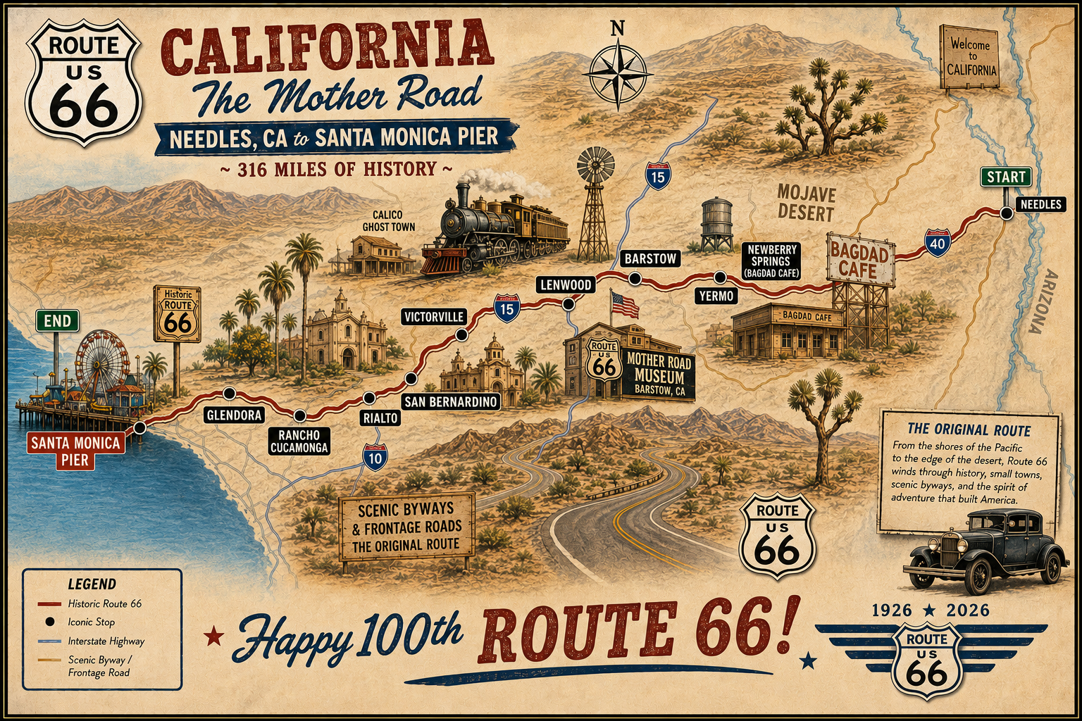
The driving distance between Needles and San Bernardino on US-66 is only about 212 miles and 3+ hours if you drive straight through without stops and assuming you don’t hit any traffic snags (or take wrong turns). Our mileage was more since the route is not always well signed through several towns, and the trip was significantly longer time-wise because… well… we never drive straight through and there were quite a few things to see along the way.
We arrived in Needles mid-afternoon and decided to do our exploring immediately to ensure an early start the next morning. Named for the sharp, pinnacled peaks of nearby Mohave Mountains, Needles was established in 1883 as a construction site by the Atchison, Topeka and Santa Fe Railway.
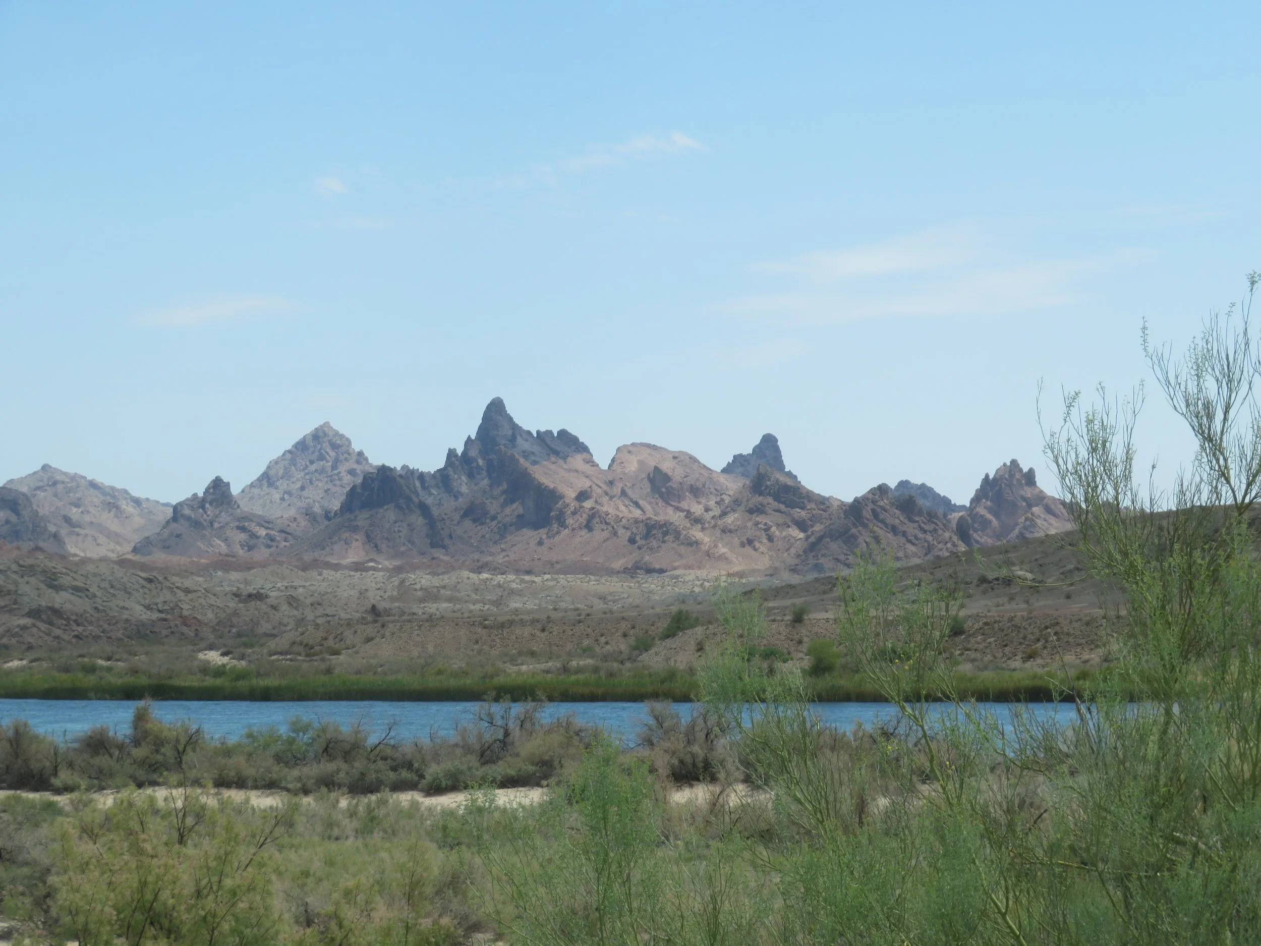
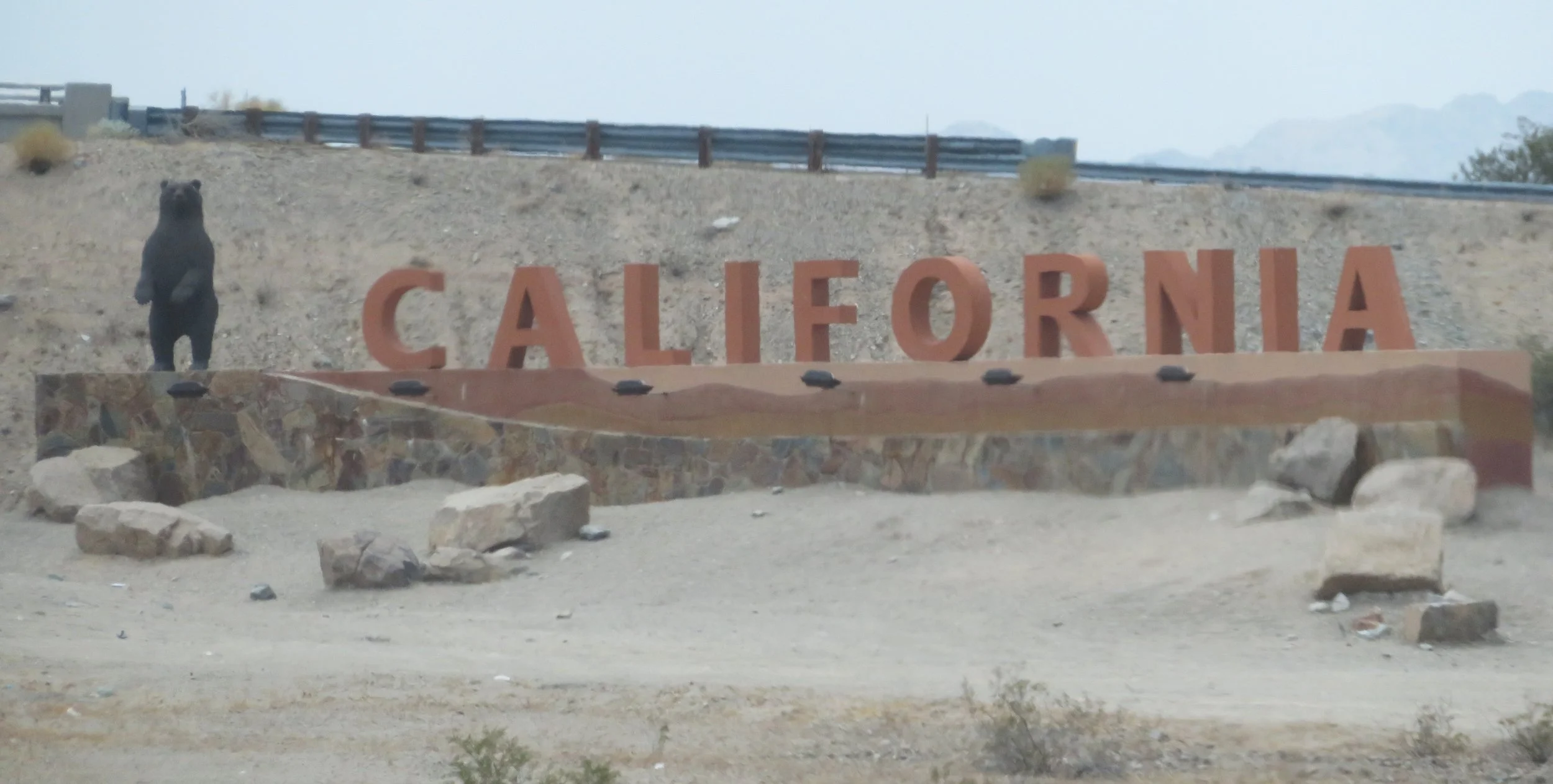
California welcomed us as soon as we crossed the Colorado River.
Approaching from the east on Route 66, the first landmark is the Welcome to Needles covered wagon.
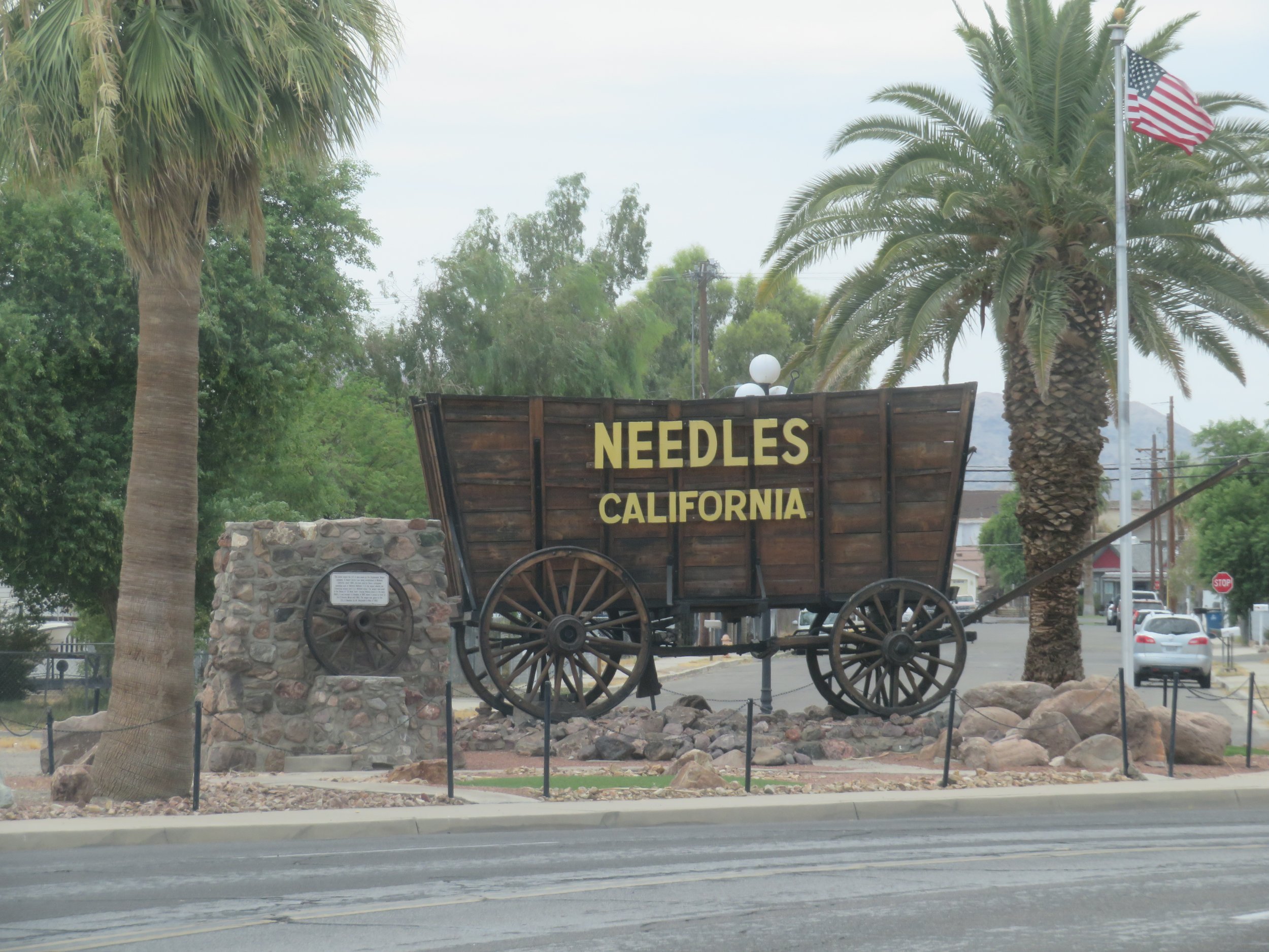
The Needles Welcome Wagon
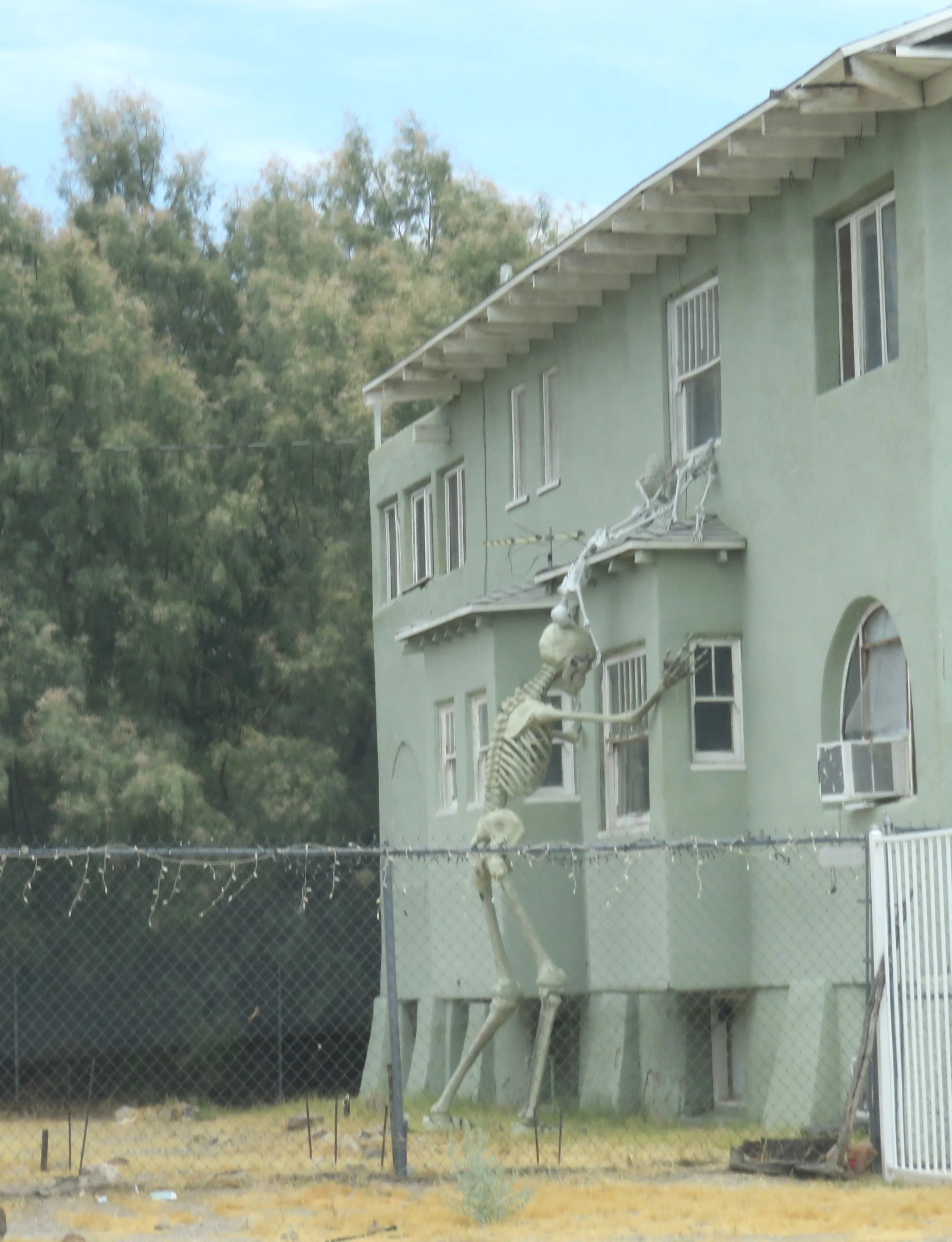
I’d read about several murals in town, and we sought them out before getting back on the main route. Though the skeleton peeking through a window wasn’t a mural, it was certainly entertaining.
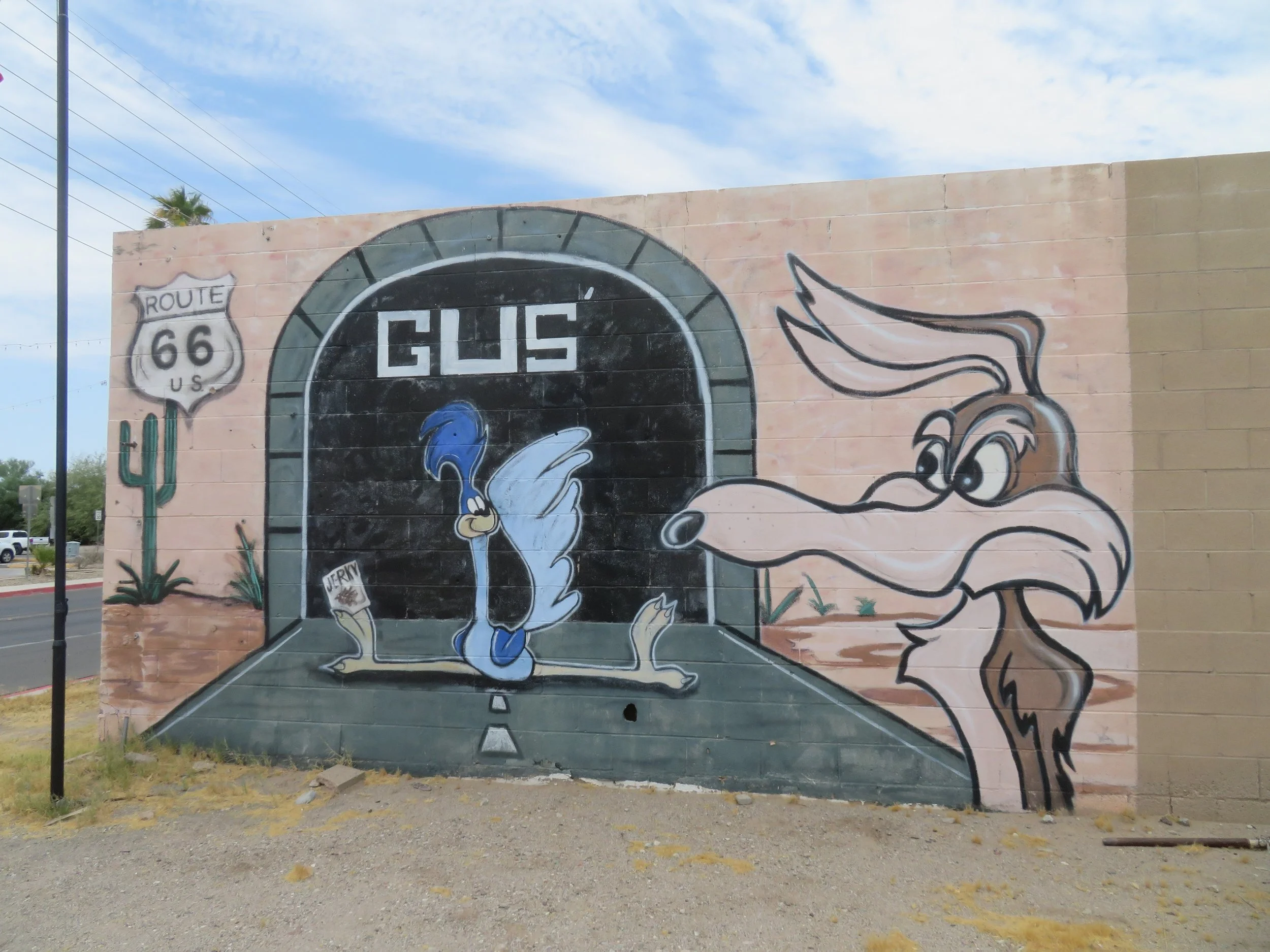
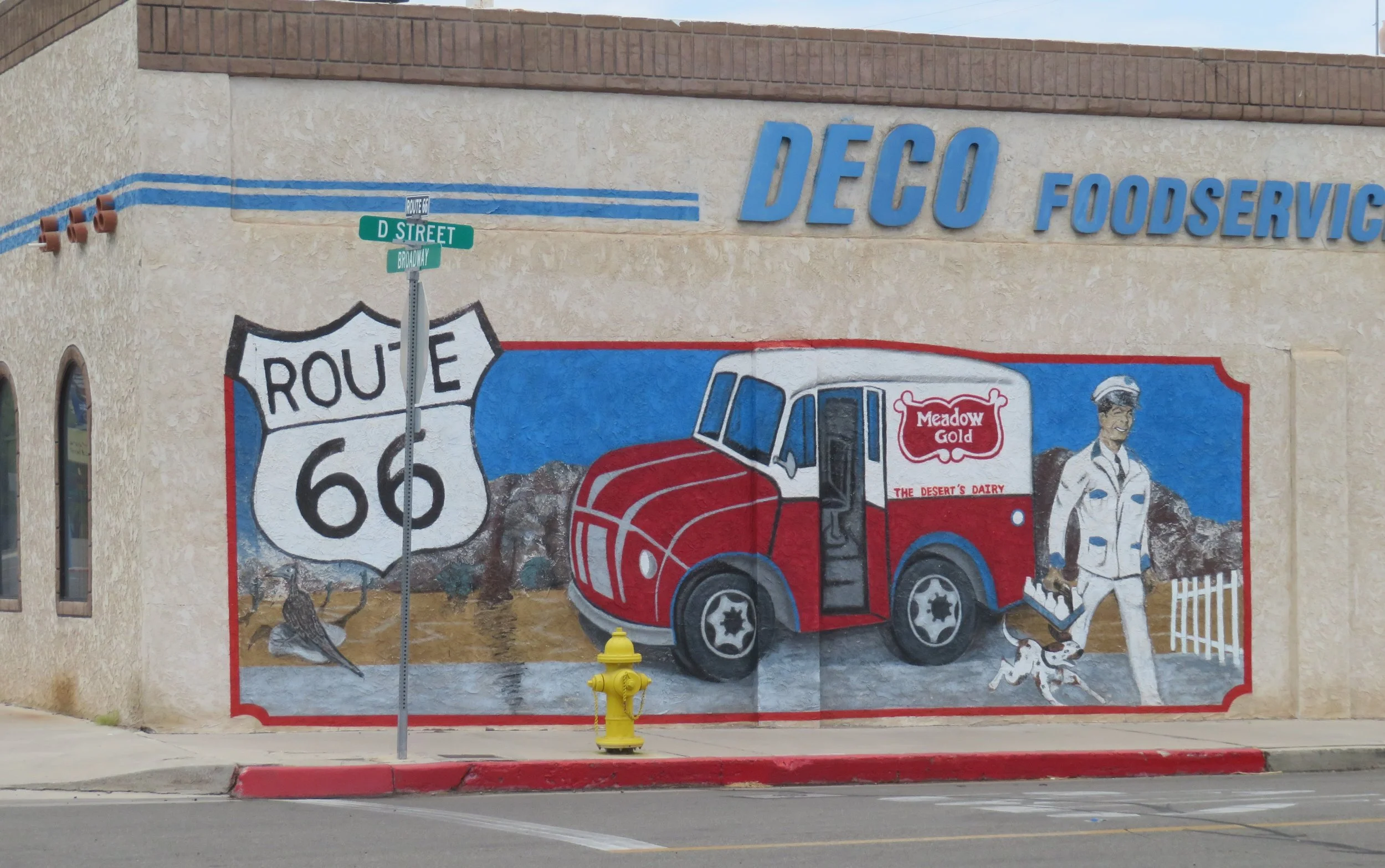
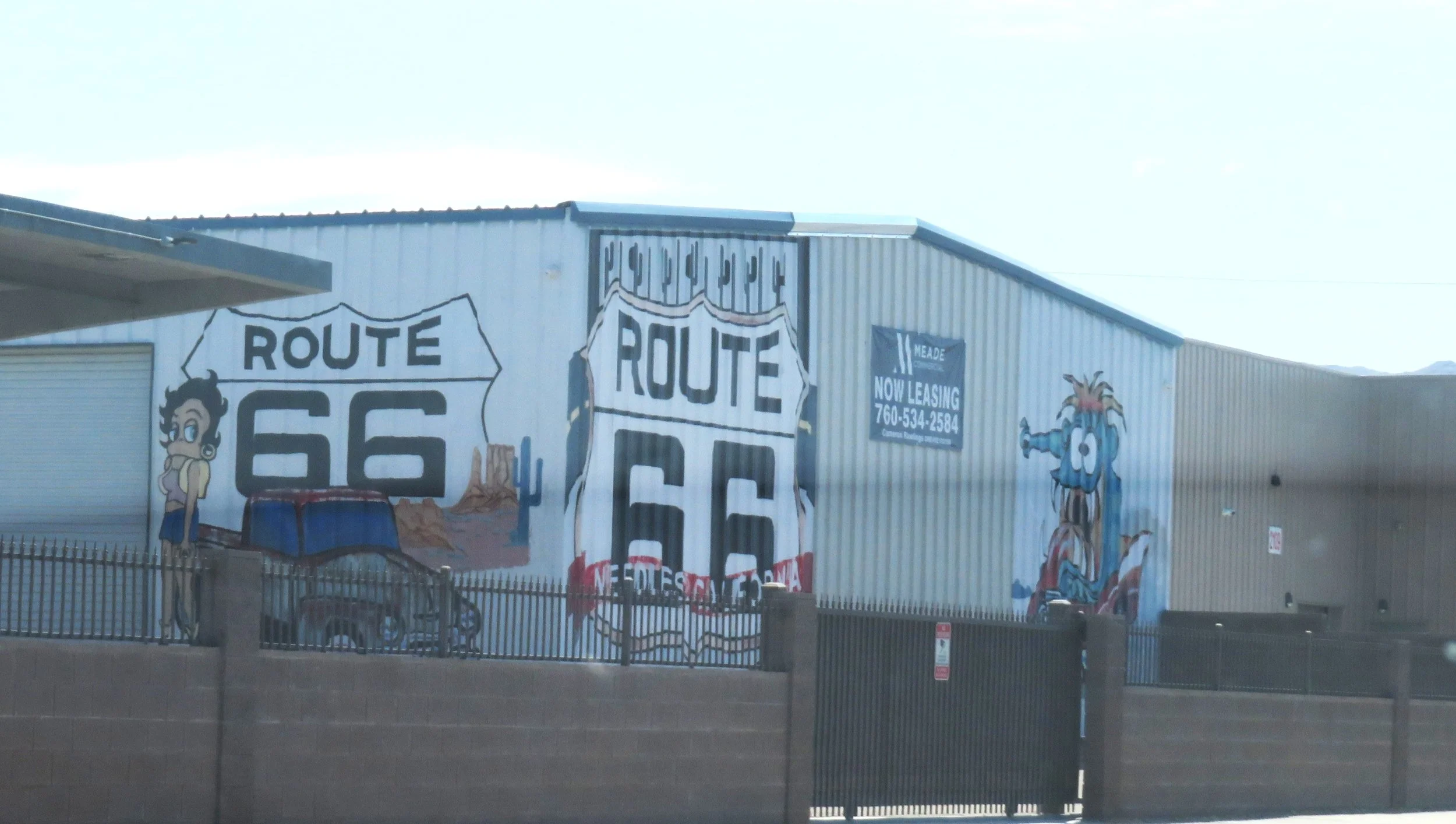
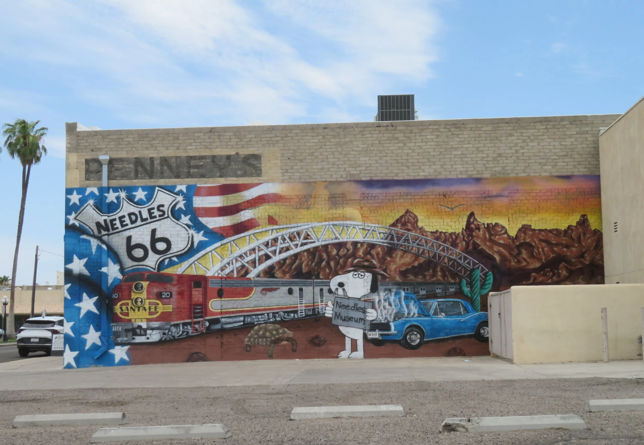
The last mural was on the side of the Needles Regional Museum, which, according to its website, was closed, but lo and behold, an open sign was sitting on the sidewalk in front of the museum. Lucky us.
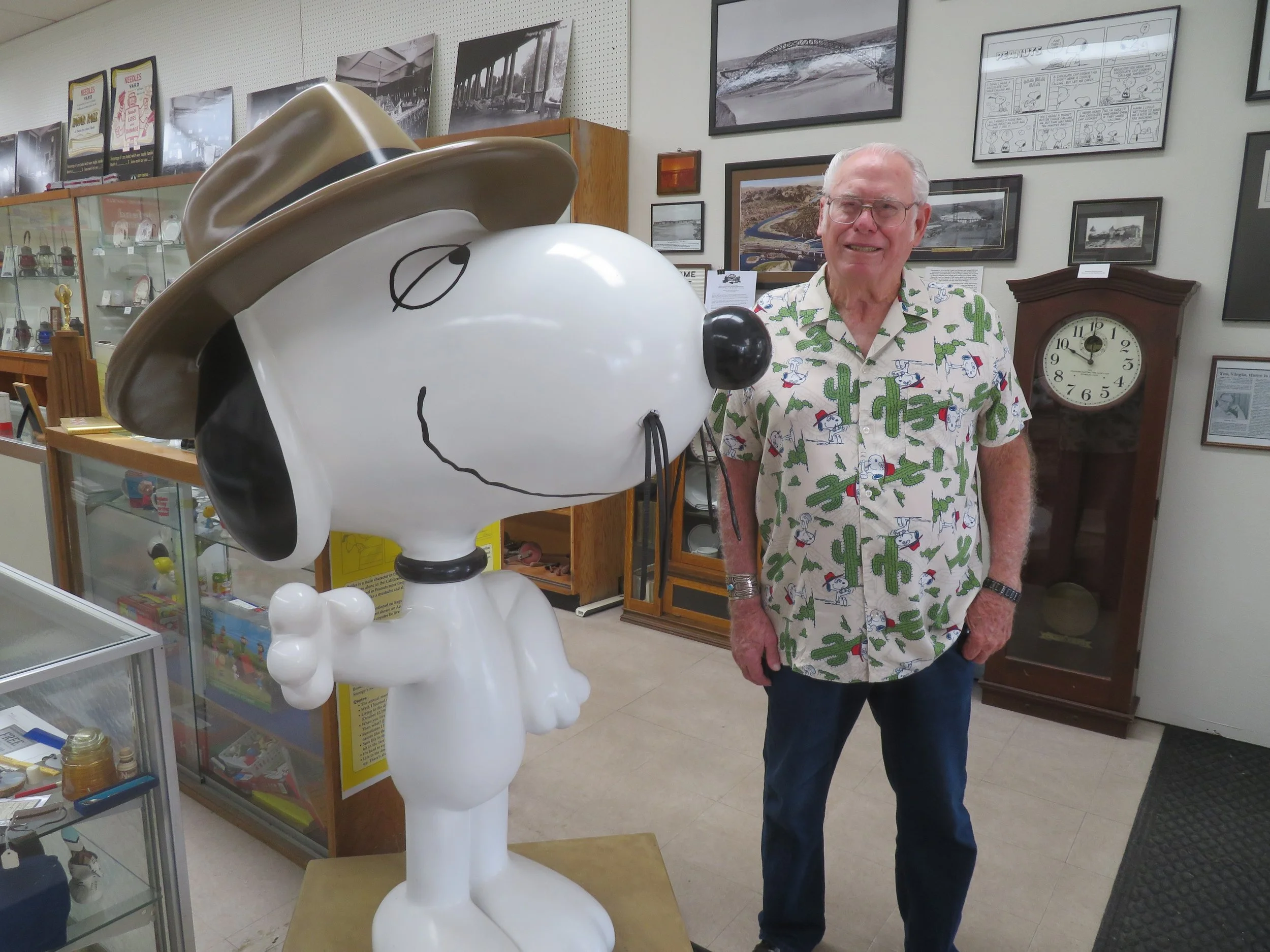
The docents, Kathy and Jim, were extremely knowledgeable about the town and its history. We were, however, just as interested in visiting Spike, Snoopy’s desert-dwelling brother. Last time we visited, Spike was in a Subway shop. This time he had much better digs in a place of honor at the entrance to the museum. Charles Schulz had lived in Needles for a few years as a child and Spike’s creation and residency arose from his childhood memories. Jim was all decked out in a Spike shirt… very appropriate!
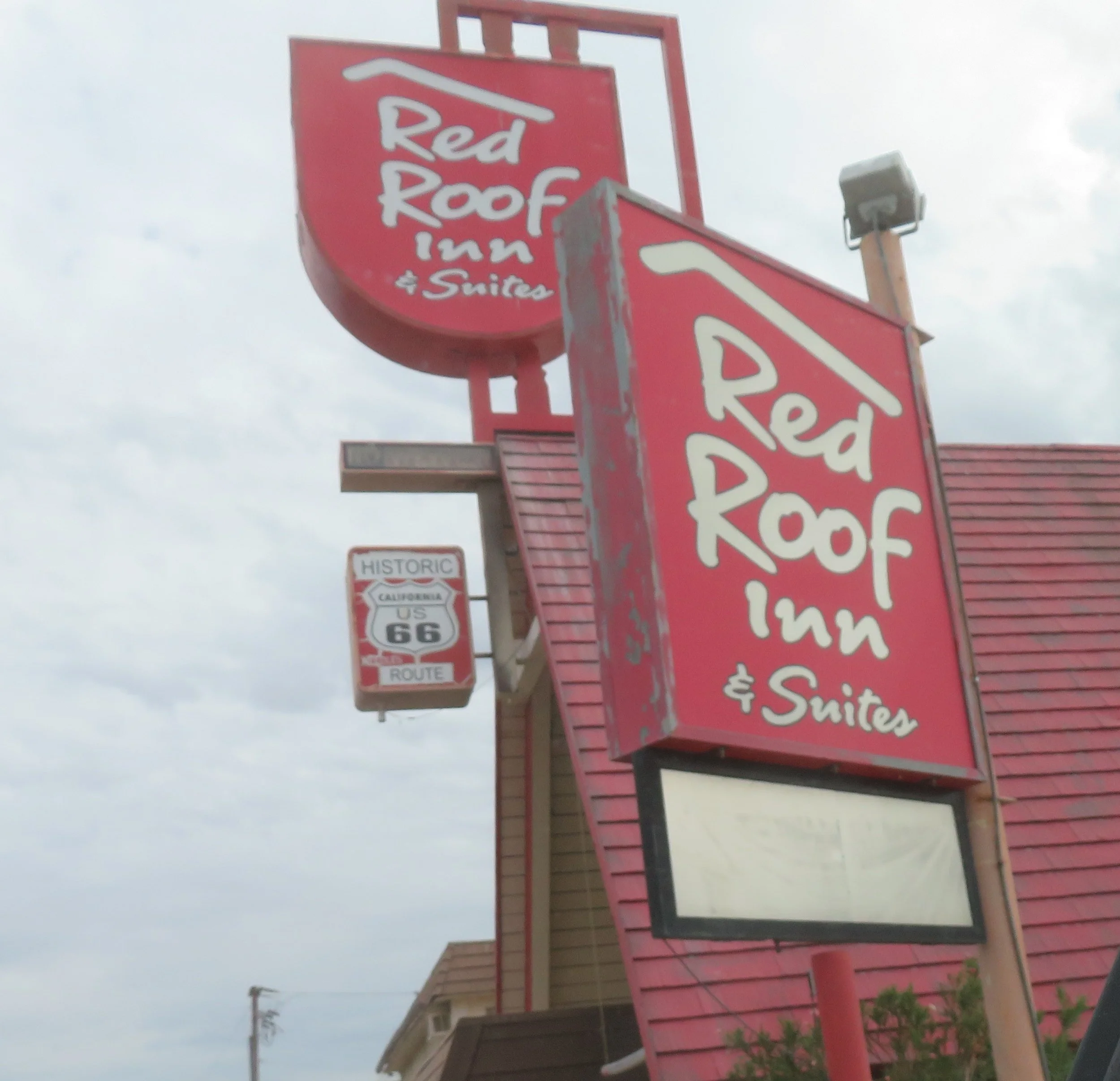
We stayed at the Red Roof Inn for the night. Very Route 66-ish… basic and convenient. Its unfortunate location close to very active railroad tracks made undisturbed sleep impossible. At times, it seemed as if a train was directly outside our motel room door, which rattled noisily every time a train passed.
We were off fairly early the next morning, headed to Goffs, the self-proclaimed Desert Tortoise Capital of the World and Gateway to the Mojave National Preserve. Also founded in 1883 by the railroad, Goffs was so-named because G was in alphabetical sequence for naming stations along the rail line.
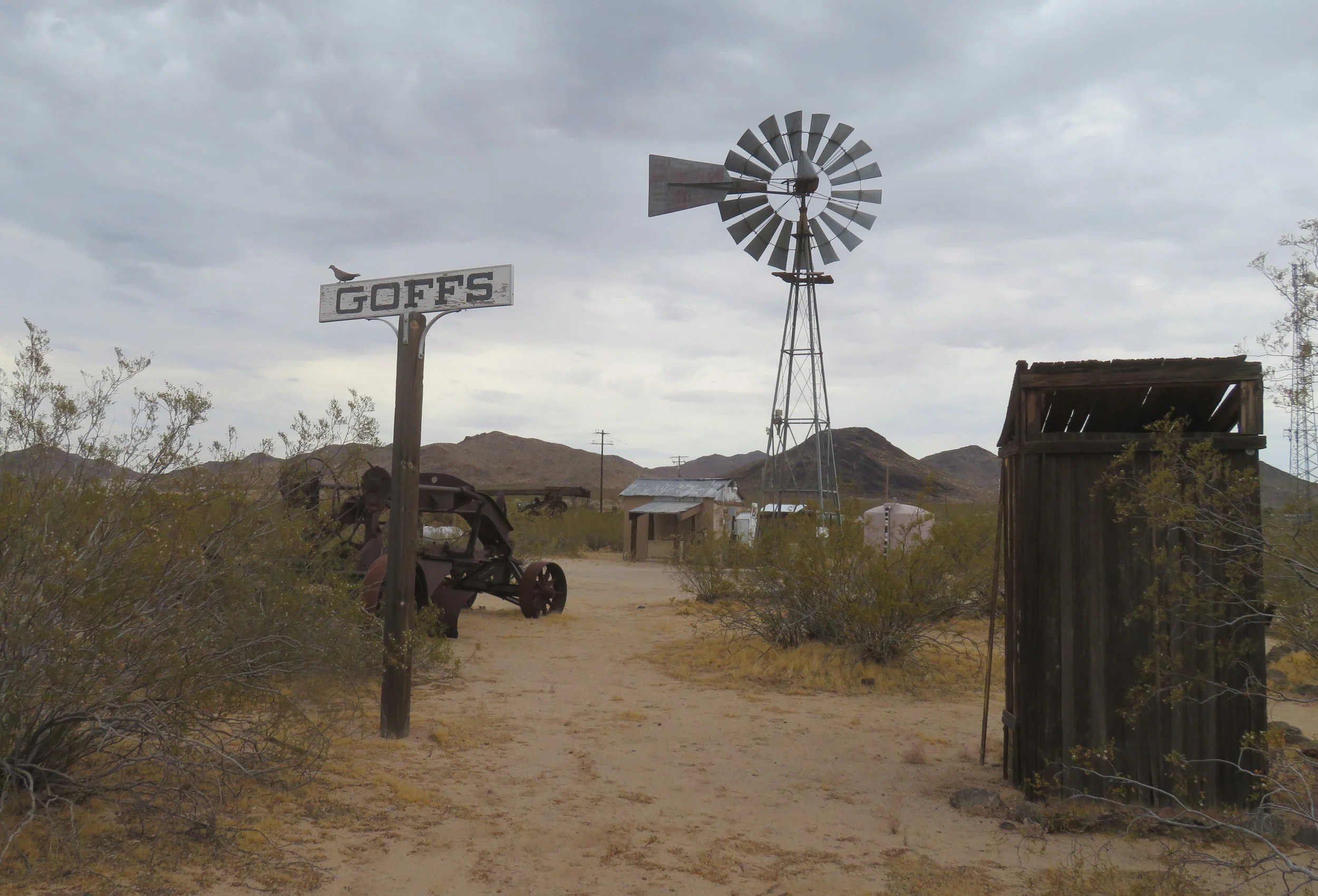
The town’s max population reached only ~400-500 people. Currently, the population is three… Chris Wirth, his wife, and an archaeologist and they’re all temporary residents responsible for maintaining this historical site.
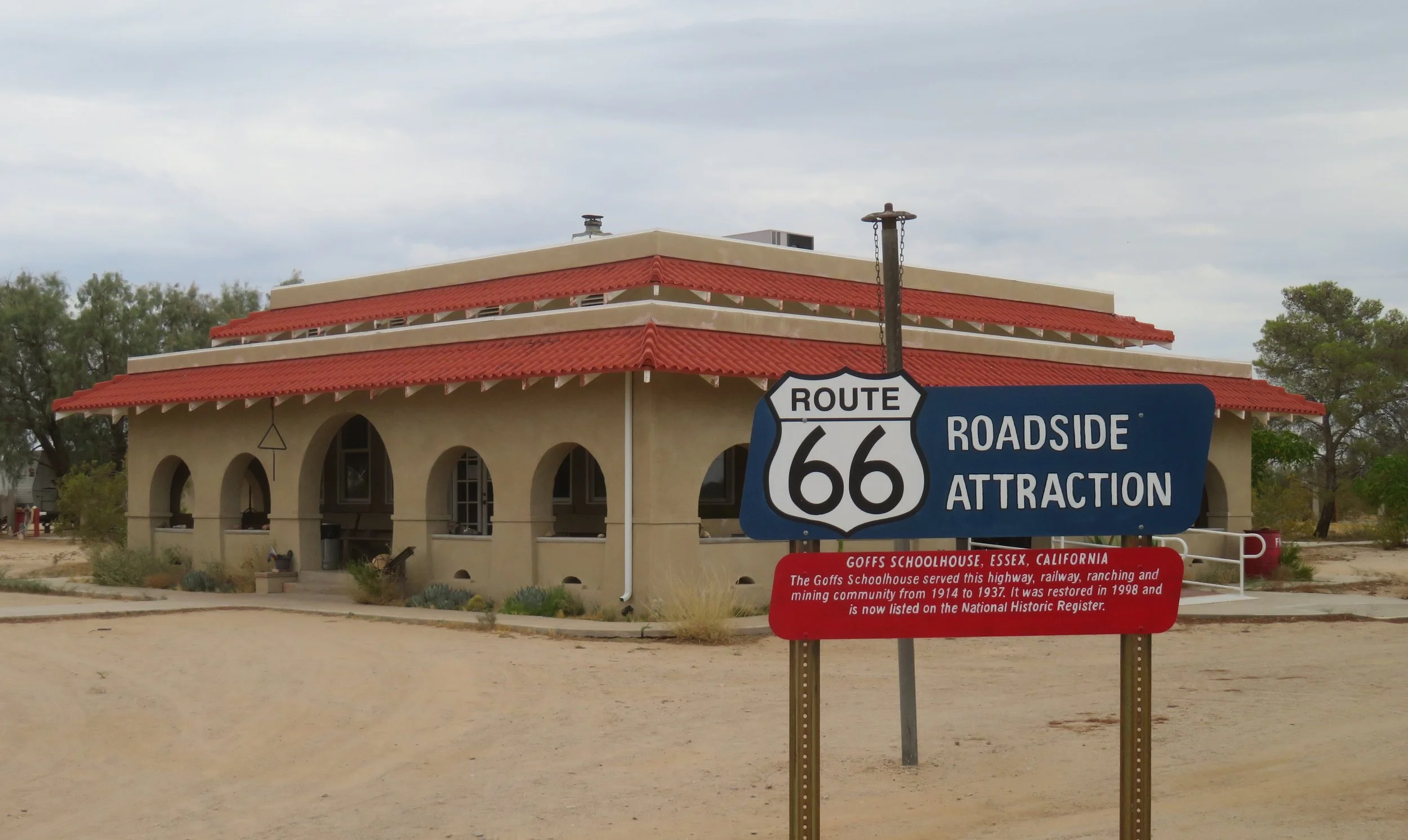
Goffs Schoolhouse Museum is a Route 66 roadside attraction and well worth the stop!
We expected that Goffs would be a two-minute drive-through, but the Goffs Schoolhouse Museum was open, and Chris, the resident, a very engaging docent, kept us occupied for well over an hour with lots of interesting history, trivia about railroad marbles, the Mojave Cross, and the Bellamy salute among other things and a not-to-be-missed walk into the middle of the desert to find a phone booth! Quite honestly, Goffs could have been a blog all to itself.
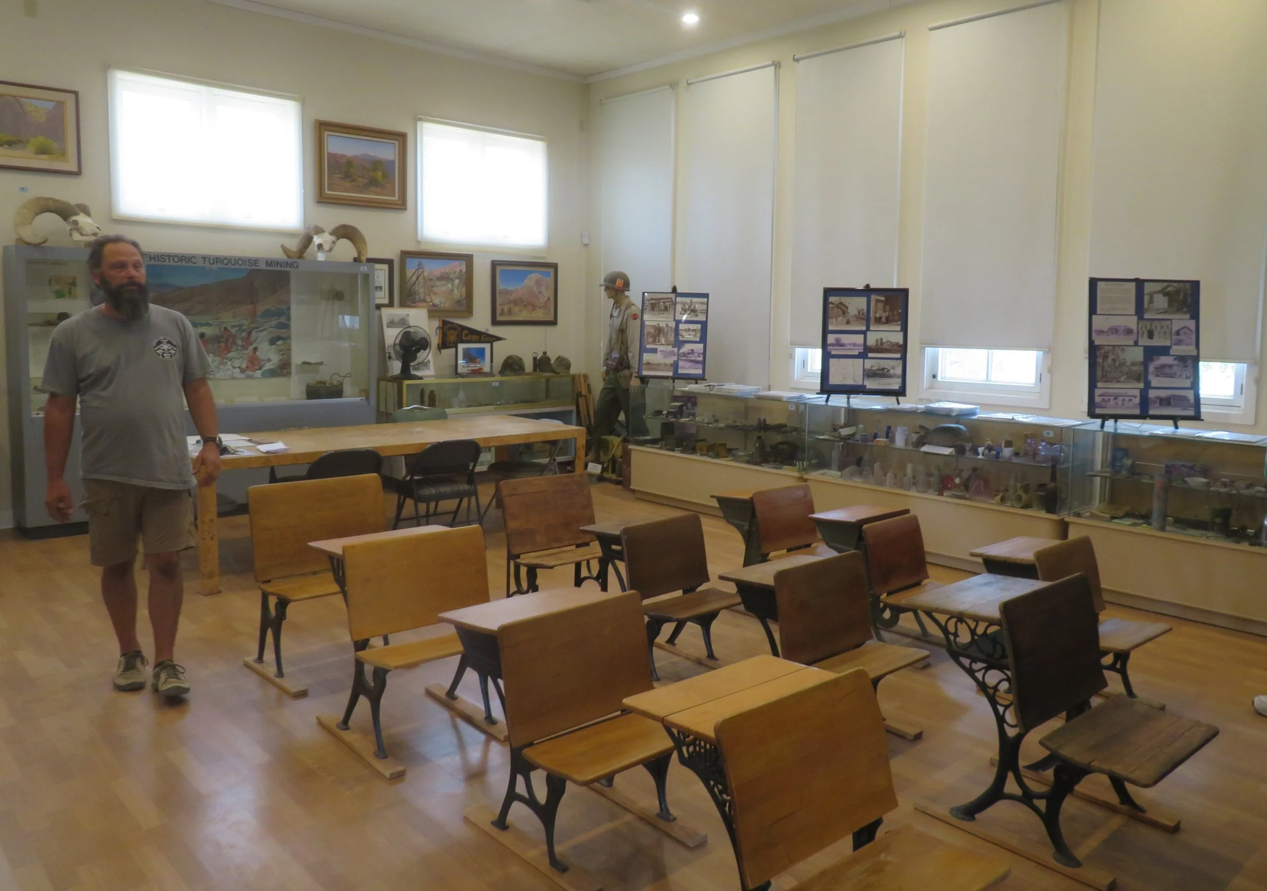
Chris Wirth, the Goffs Schoolhouse Museum docent, provided lots of history and trivia about the area.
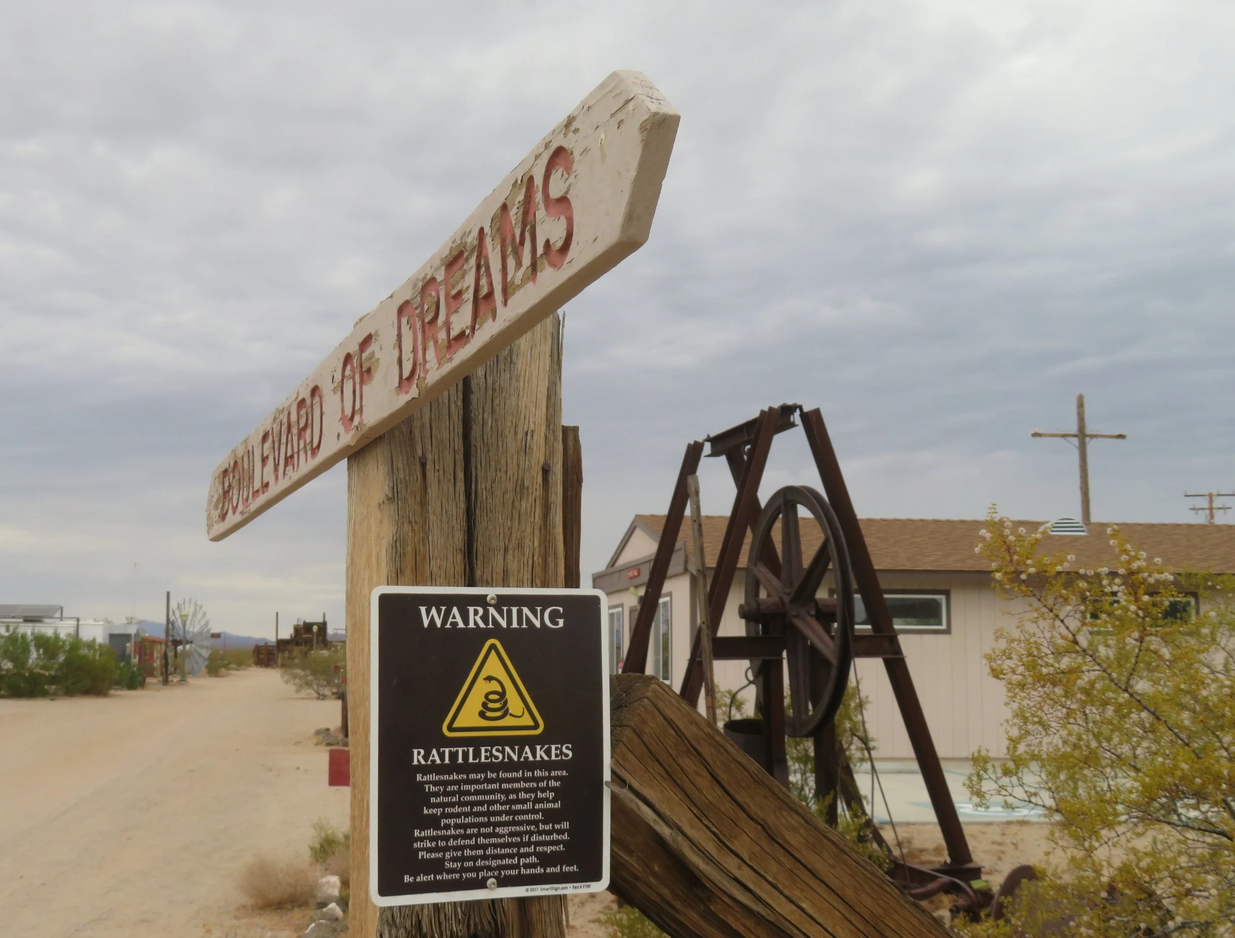
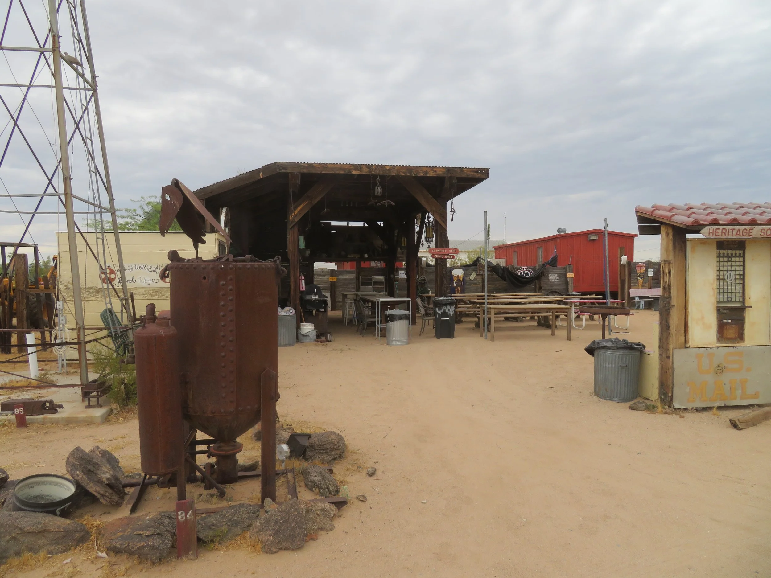
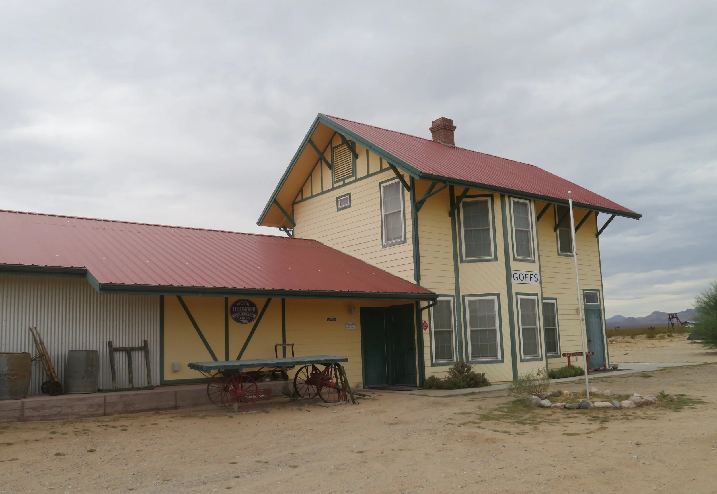
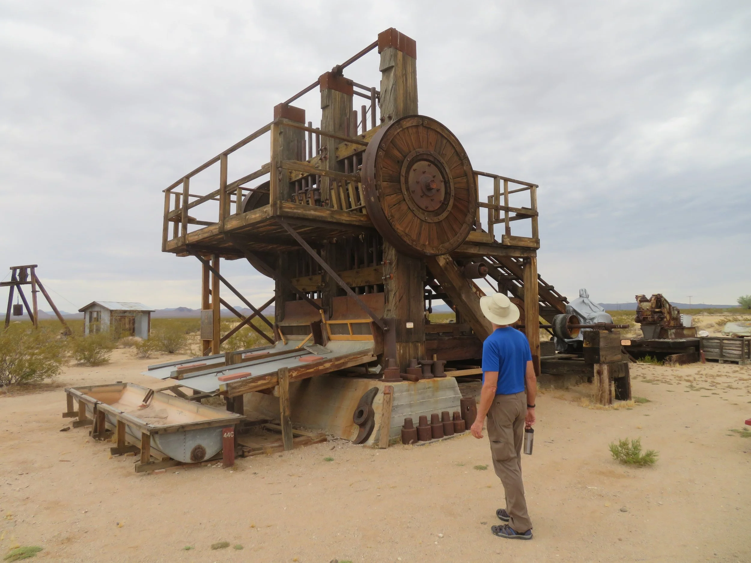
The museum is a one-room Mission-style schoolhouse built in 1914, filled with local artifacts, photos, and memorabilia set in ~75 acres of Mojave Desert land under the auspices of the Mojave Desert Heritage & Cultural Association. Chris gave his spiel and set us loose to walk the grounds on a network of paths with numerous displays of antique machinery, cars, huge stamping machines used by miners to crush ore, remnants of General Patton’s WWII desert training camp, and historic buildings including a replica of the old Goffs Railroad Depot. Goffs was definitely an unexpected, worthwhile stop! AND you can get your Route 66 Passport stamped there, too!
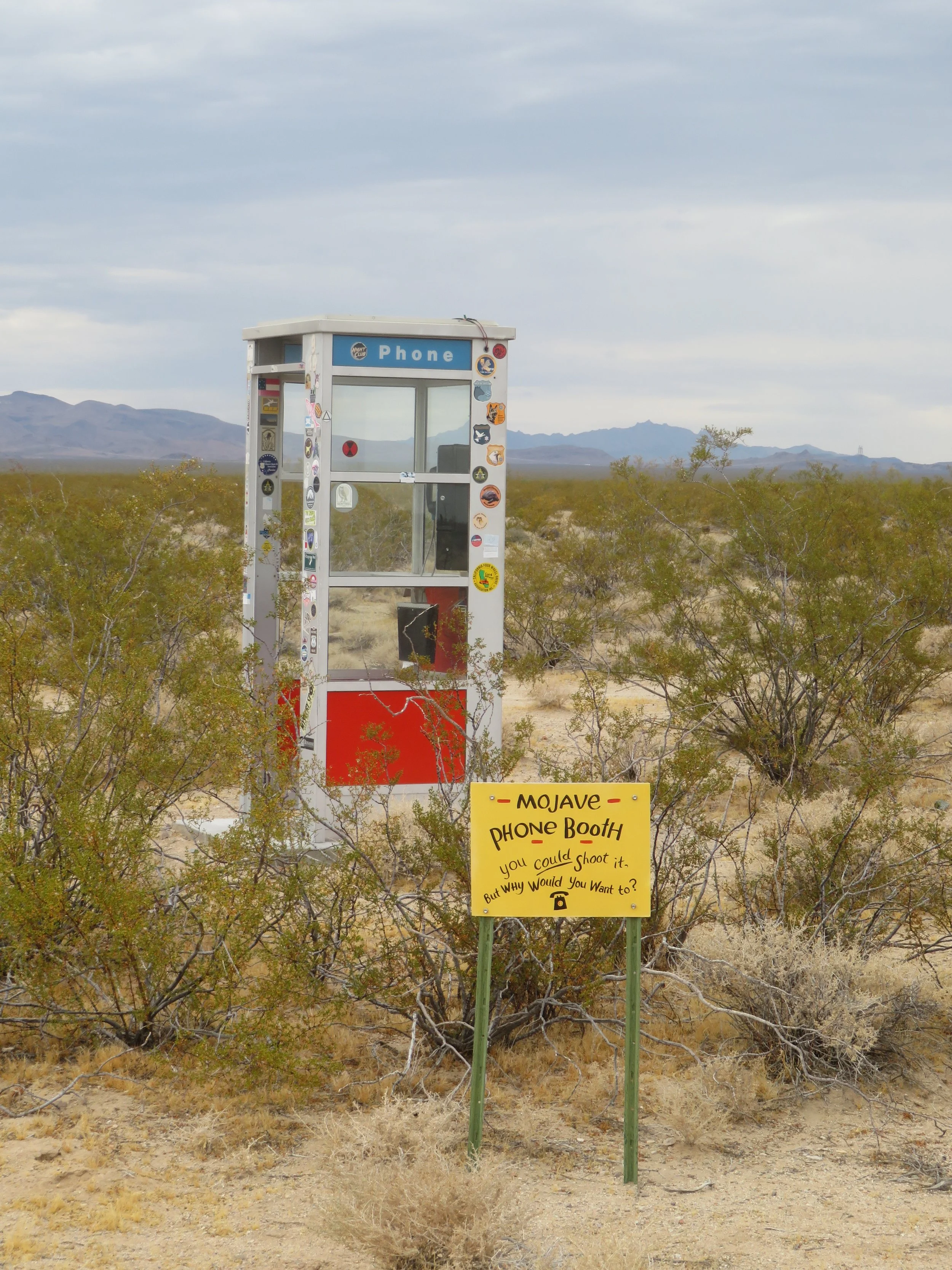
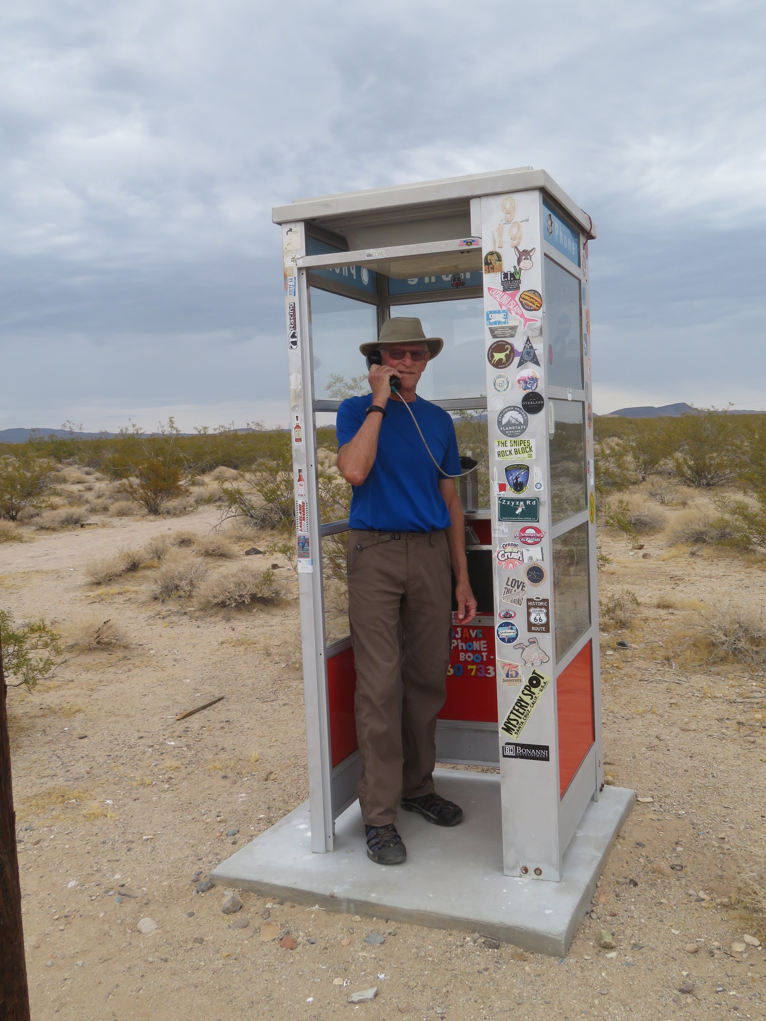
The highlight of the walk was reaching the Mohave Phone Booth. There’s even been a book written about it. It’s definitely an oddity sitting in the middle of the desert miles away from anywhere. It was installed in 1948 for miners to use, and the original was removed by Pacific Bell in 2000 at the request of the National Park Service.
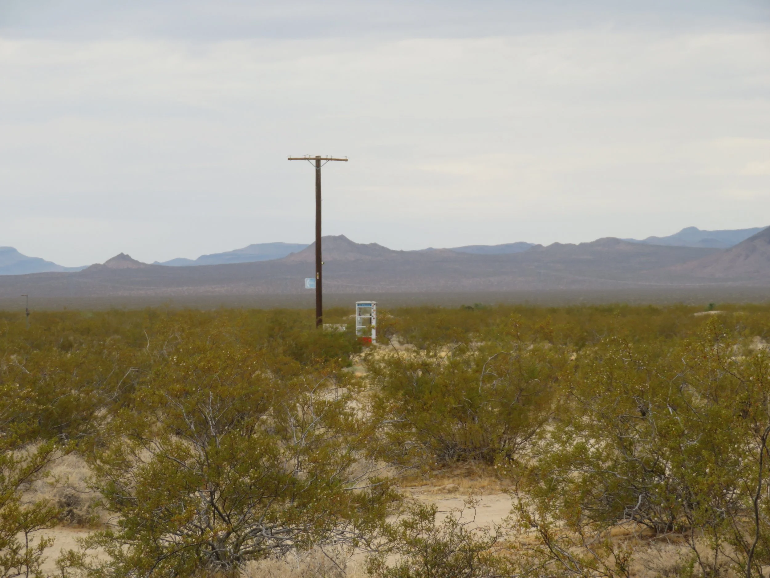
The Mohave Phone Booth, smack dab in the middle of nowhere
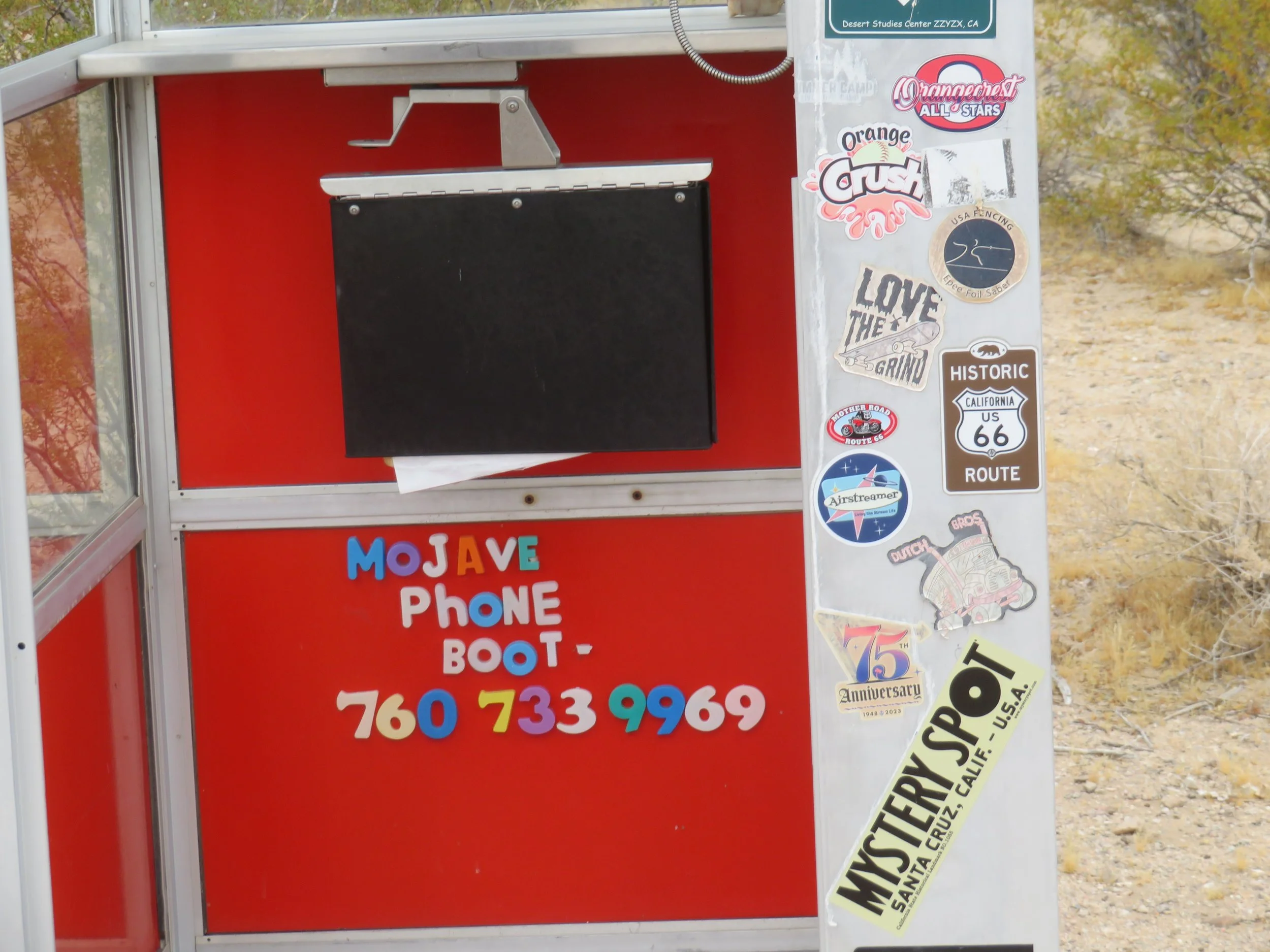
Most everything I read on the internet indicates the phone booth was gone and a plaque was put in its place. Well, we can attest that, though the original phone booth is indeed gone, a replacement stands in its spot, and you can call the number… 760-733-9969. It seems that in 2019 “a benevolent hacker named Jered Morgan (a.k.a. Lucky225) acquired the original number and set up a system where people can dial it and enter a conference call. “ I tried it. If you press ‘0’ when the line is answered, you can record your own message. Otherwise, you can press another number and listen to other ‘messages’ on the conference line’s ‘bulletin board’.
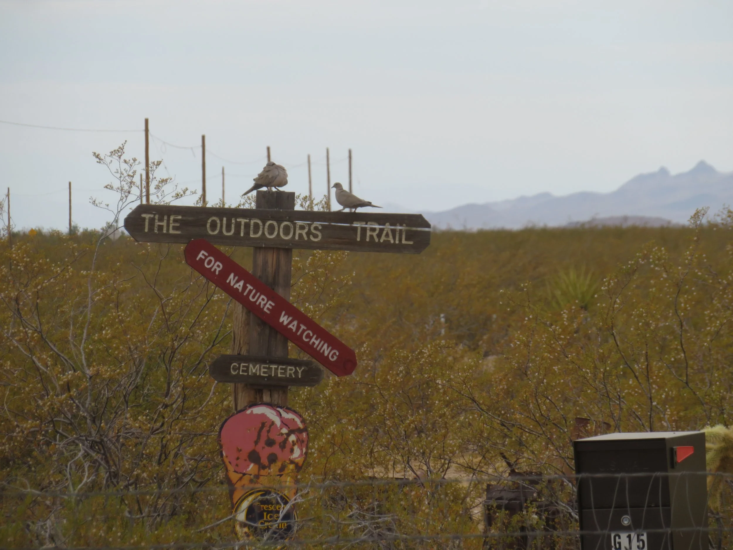
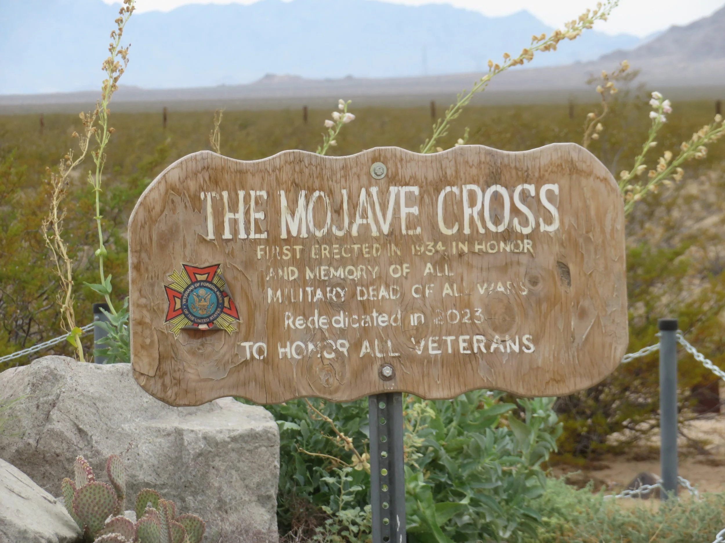
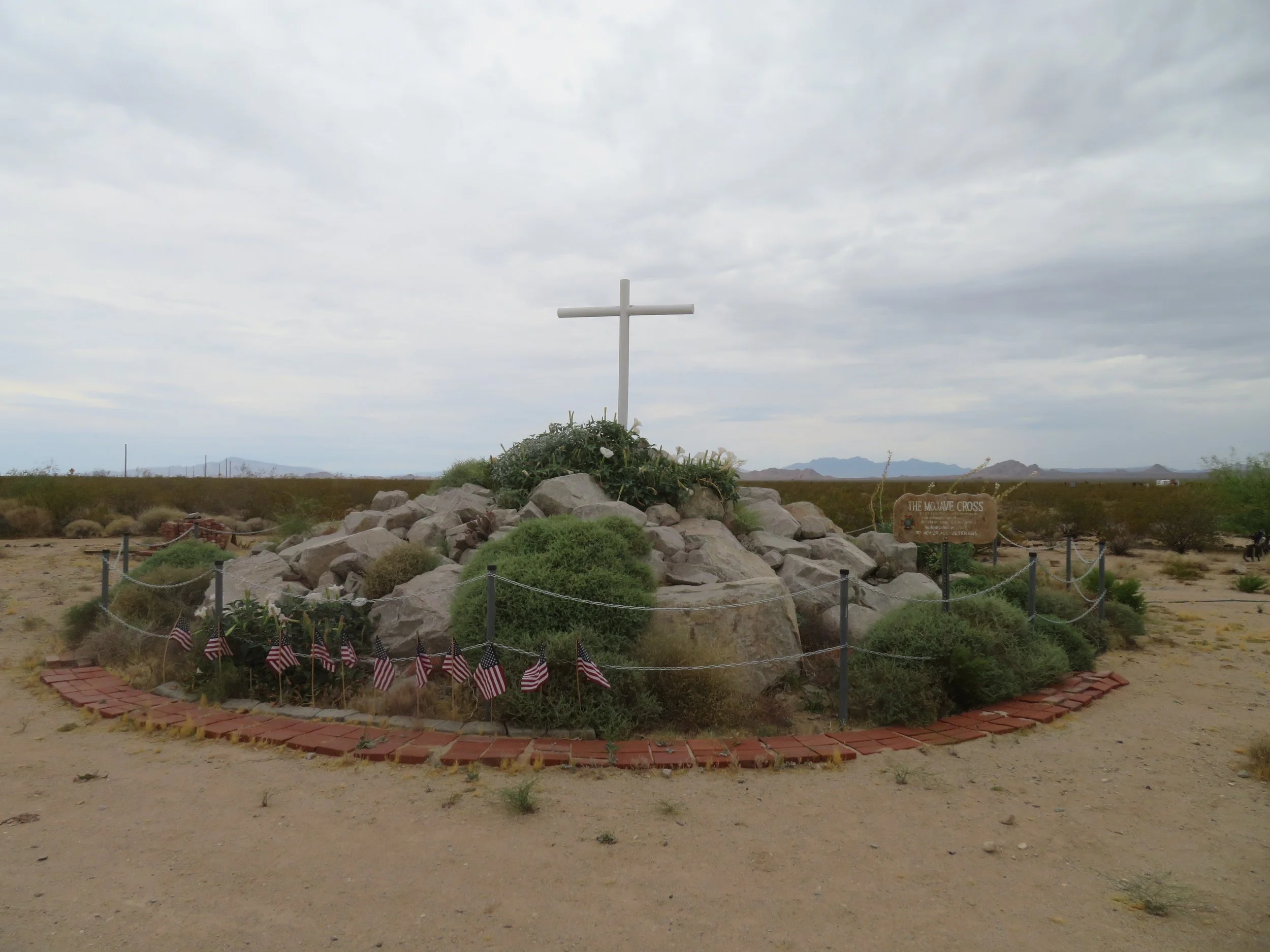
We took another short walk on the Outdoors Trail which took us past a small cemetery and the Mojave Cross.
A few miles west of Goffs on Route 66, aka the National Old Trails Road, at the junction of I-40, we unexpectedly (lots of unexpecteds on this trip) came across a small gas station with four Electrify America chargers, so we topped up. Interestingly, a sign indicated the station didn’t pump gas on Mondays!
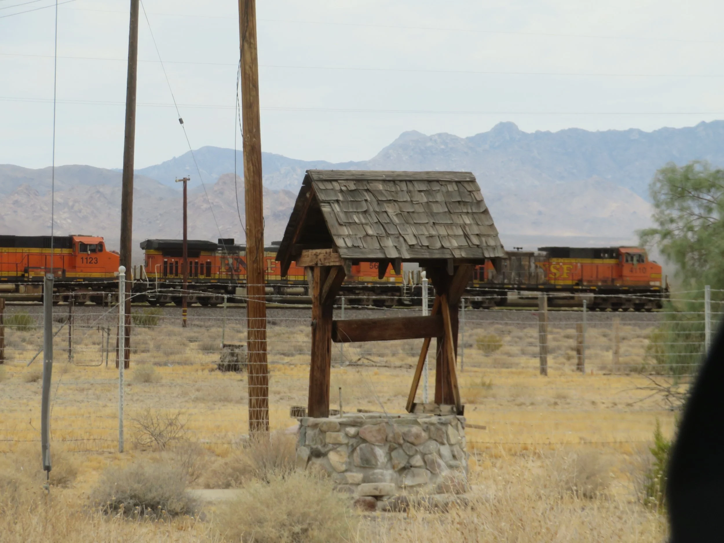
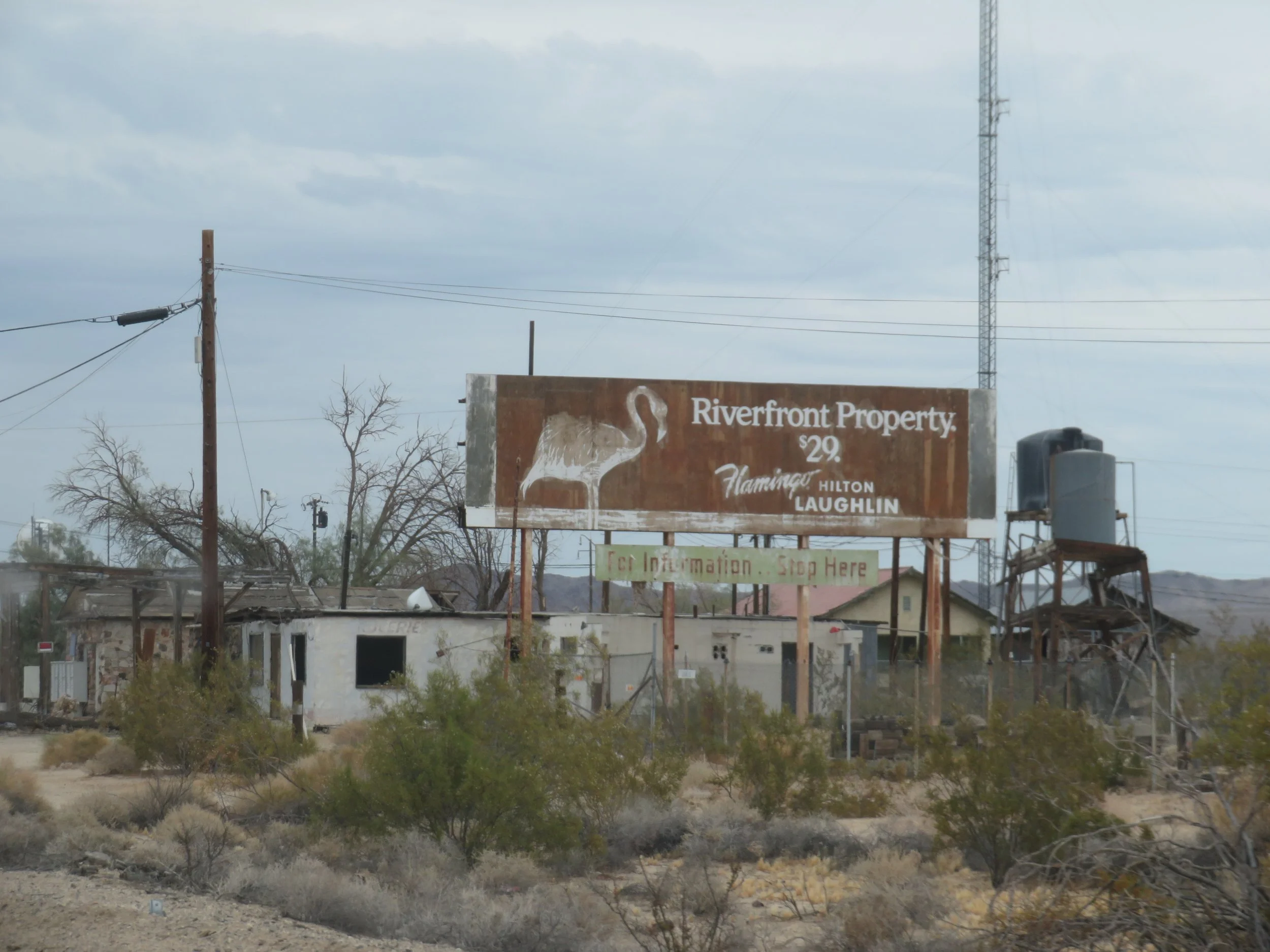
Our next stop was Essex, but a sign indicated the road was closed. We managed to skirt around the sign and make it as far as the town site. Essex was noted for its ‘free water’ offered to Route 66 travelers back in the day. The buildings are dilapidated, but the water well still exists. We also got a kick out of an old sign posted on the ruins of the Wayside Cafe advertising riverfront property for sale in Loughlin.
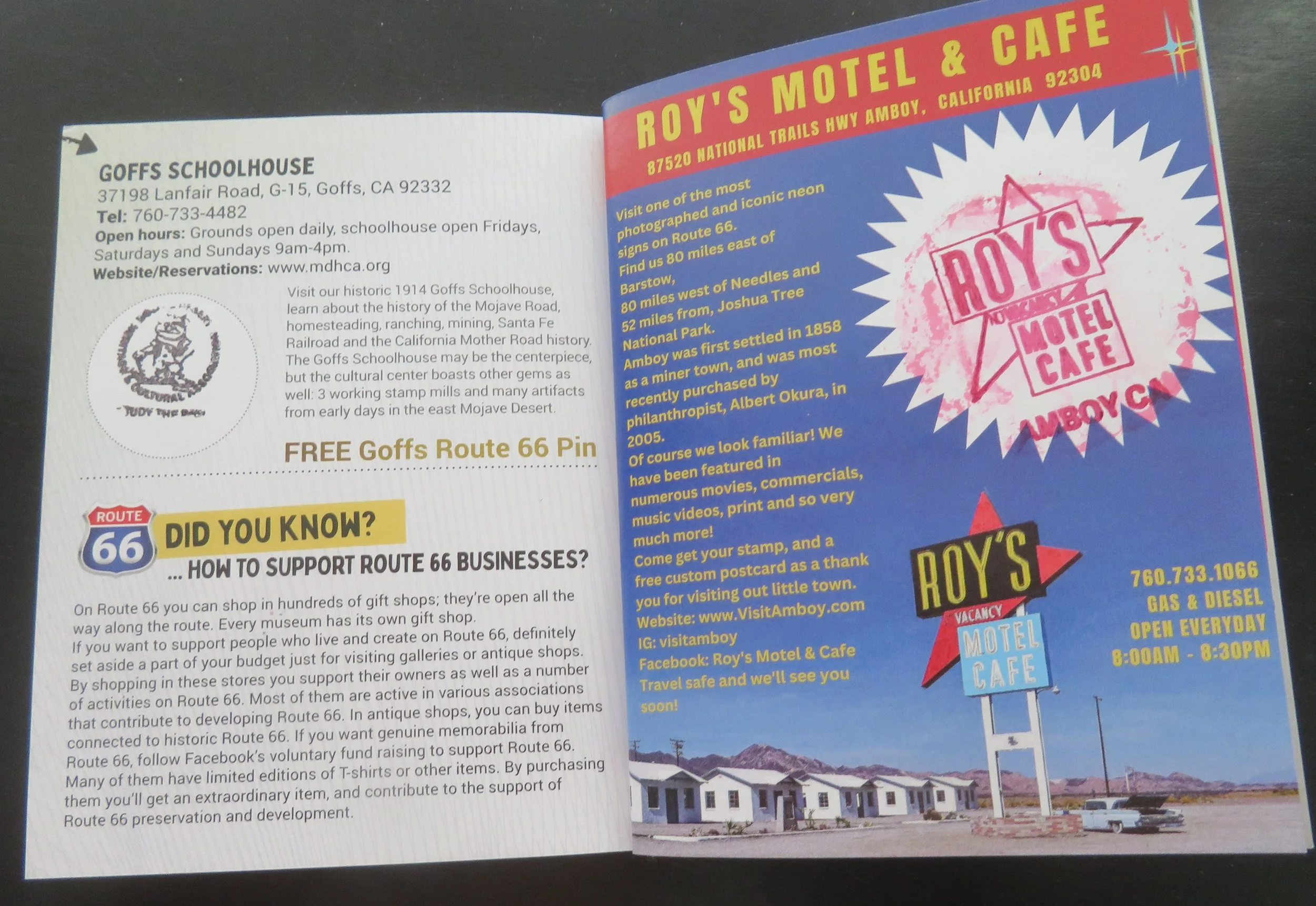
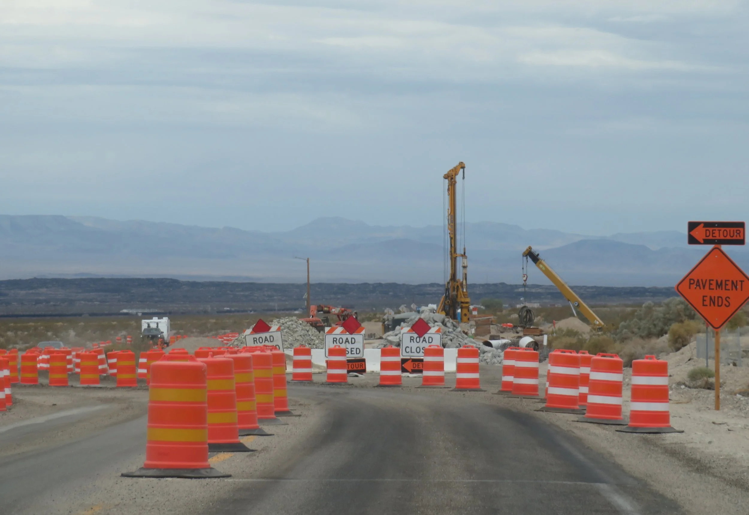
The road was totally closed beyond Essex, so we detoured to Amboy and didn’t get a chance to pass through Chambless, a tiny ghost town. There was no missing the 50’ tall neon Roy’s Motel & Cafe sign as we approached Amboy. Established in 1938 by Roy Crowl, it was a well-regarded cafe, gas station, motel, and auto repair spot along the Mother Road. The cafe no longer serves food, but you can buy souvenirs there and get your Route 66 passport stamped. Gas is still pumped there ($7.99/gallon!). The neon sign, which we’d now consider ‘retro,’ is representative of ‘Googie’ architecture… a new architectural term for us. It’s the SoCal futuristic, ‘atomic age’, brightly colored, odd-shaped signs and buildings that were prevalent during the 1940s-1960s. Always something new to learn about.
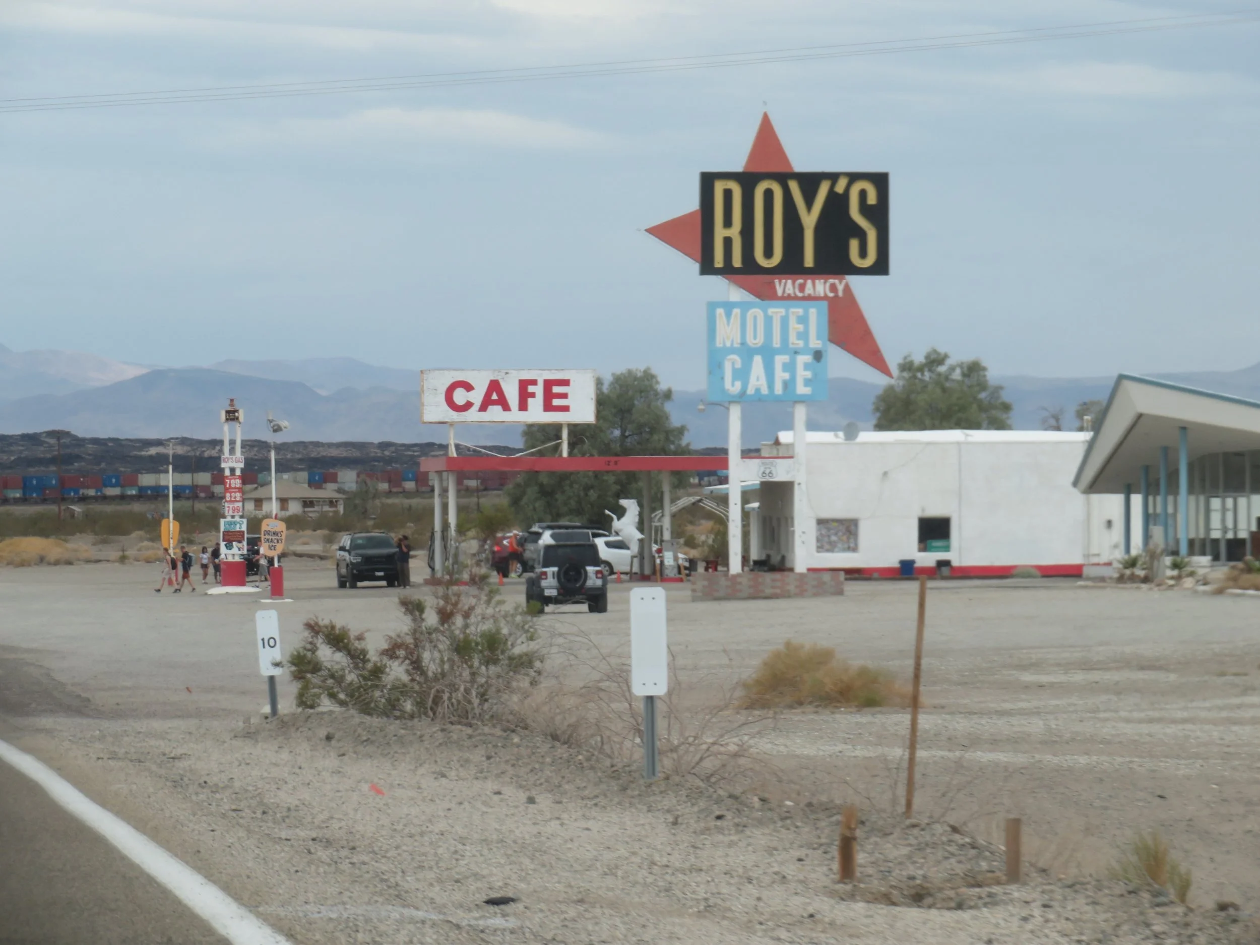
You couldn’t miss the Roy’s cafe sign!
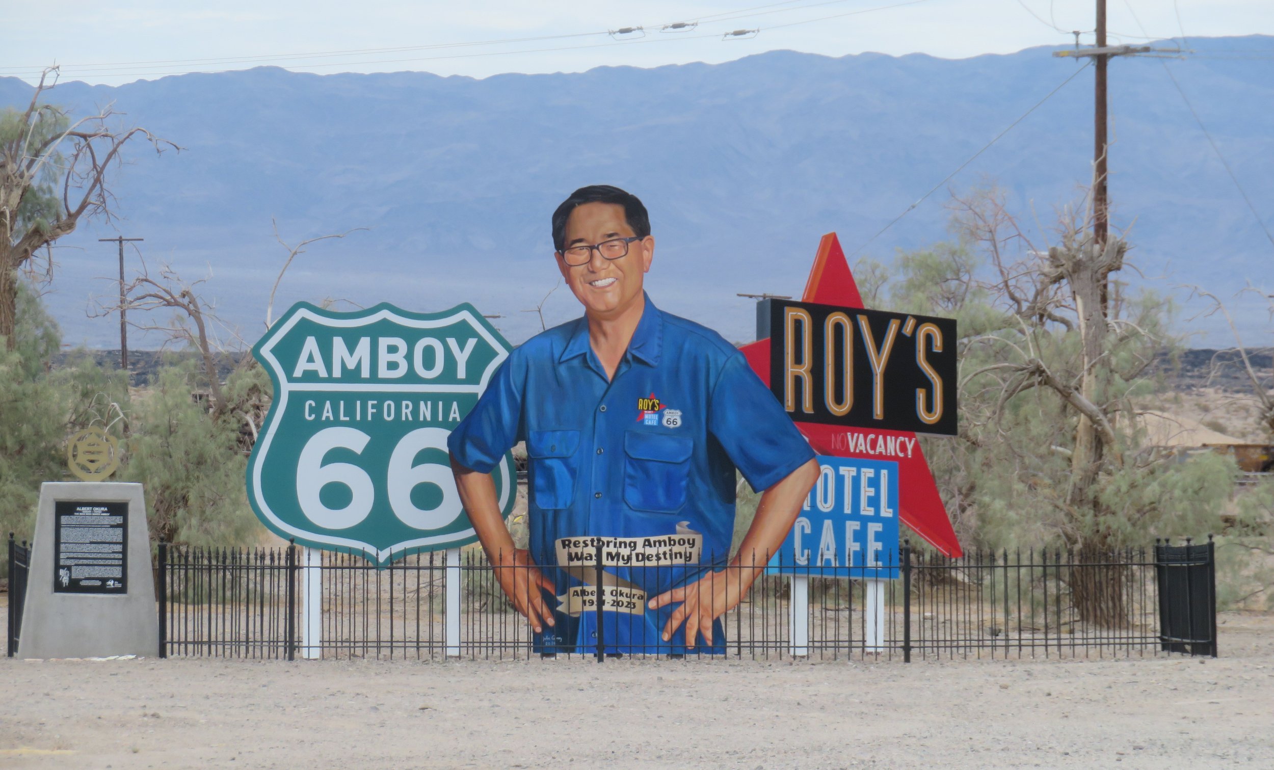
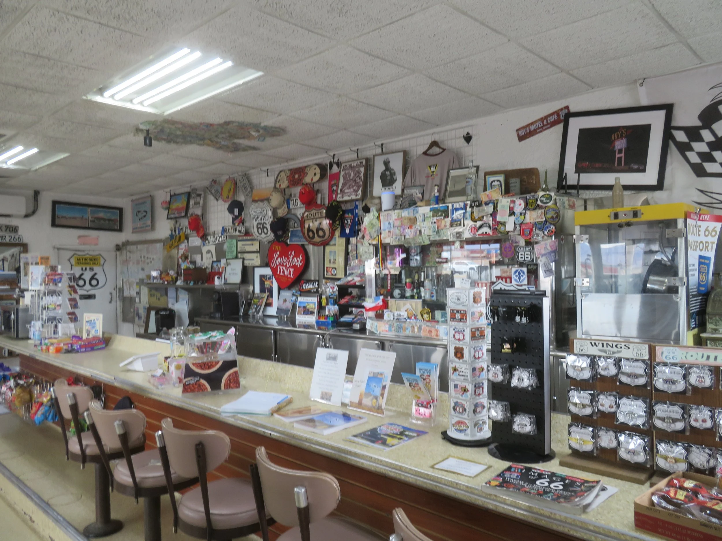
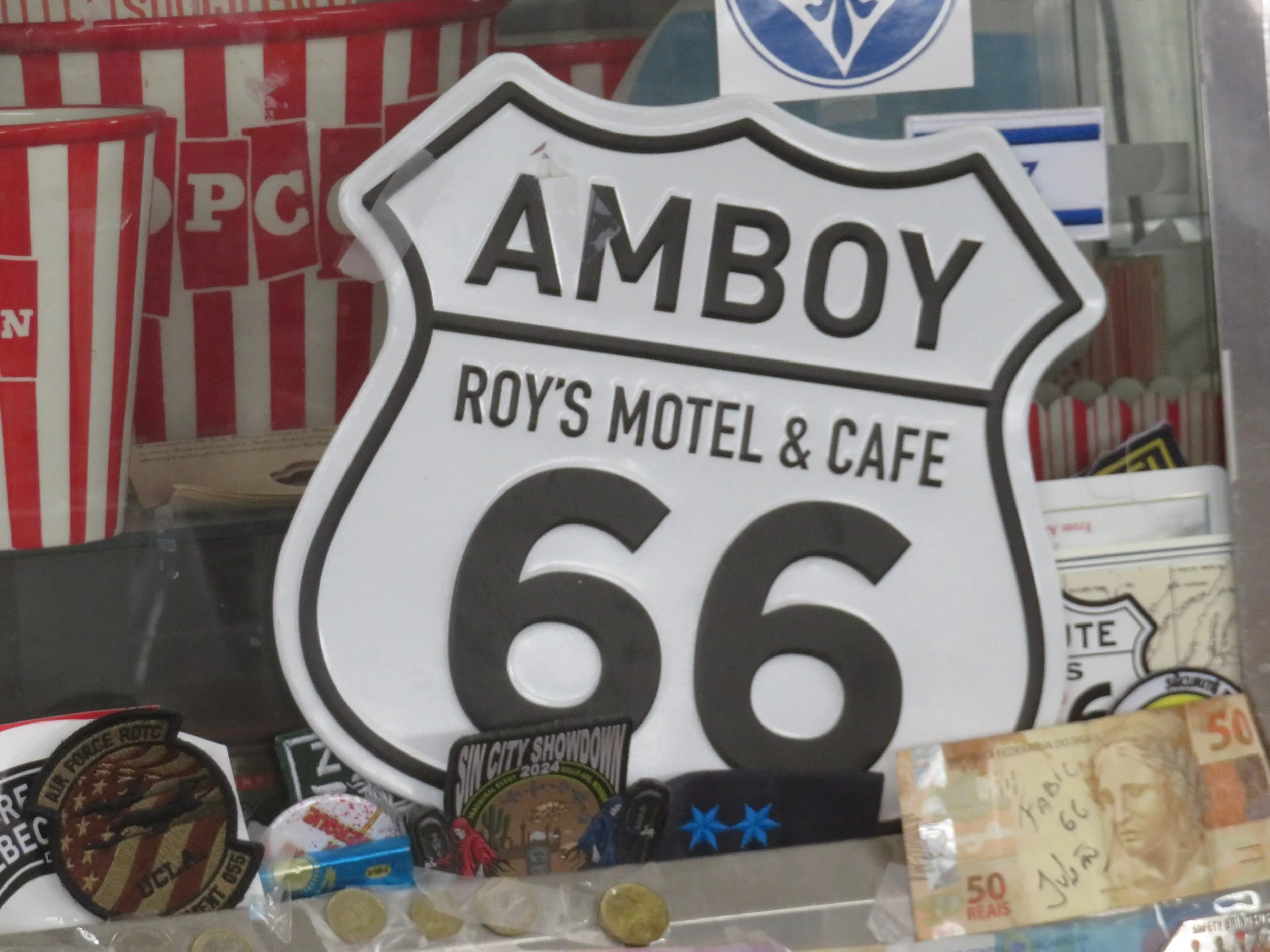
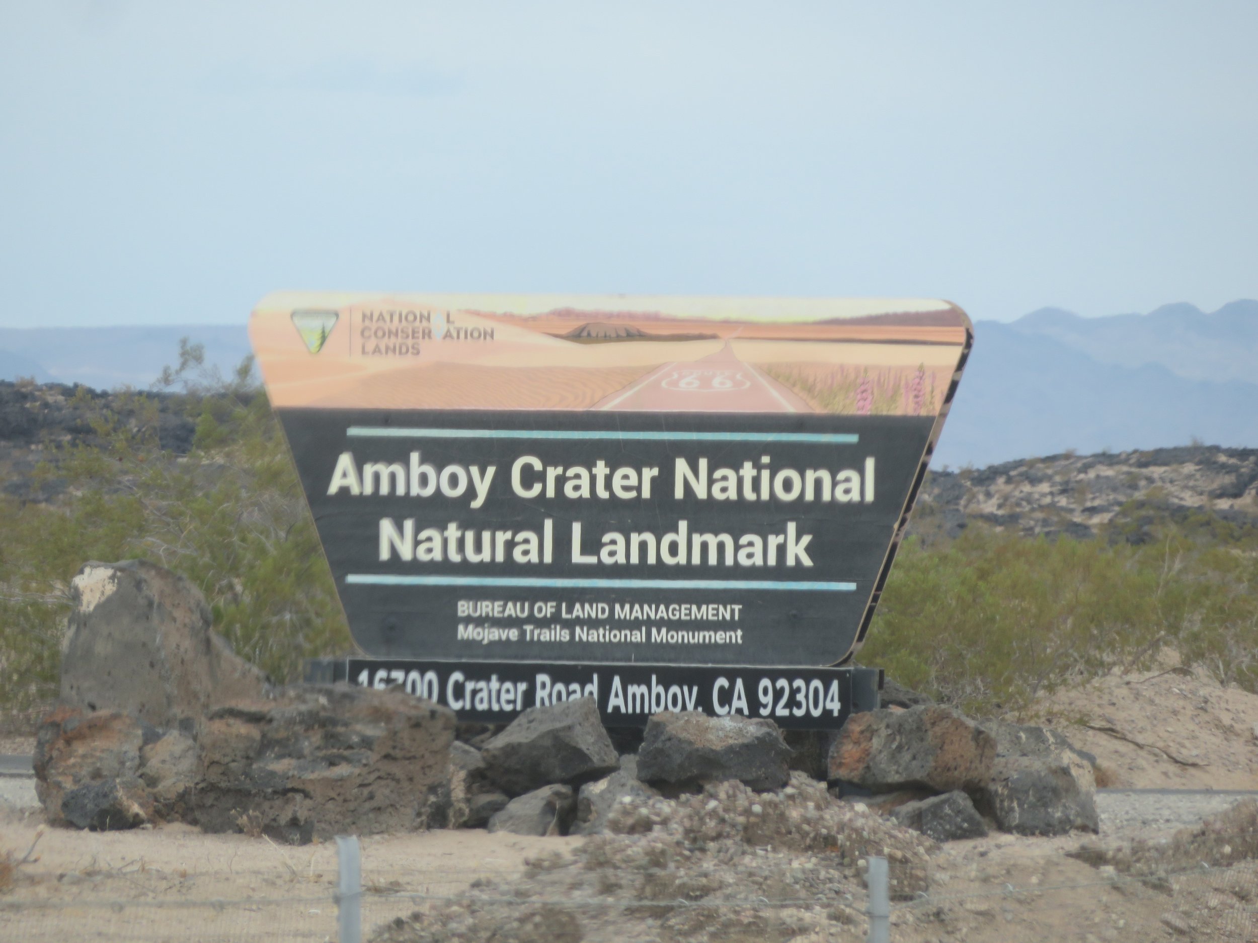
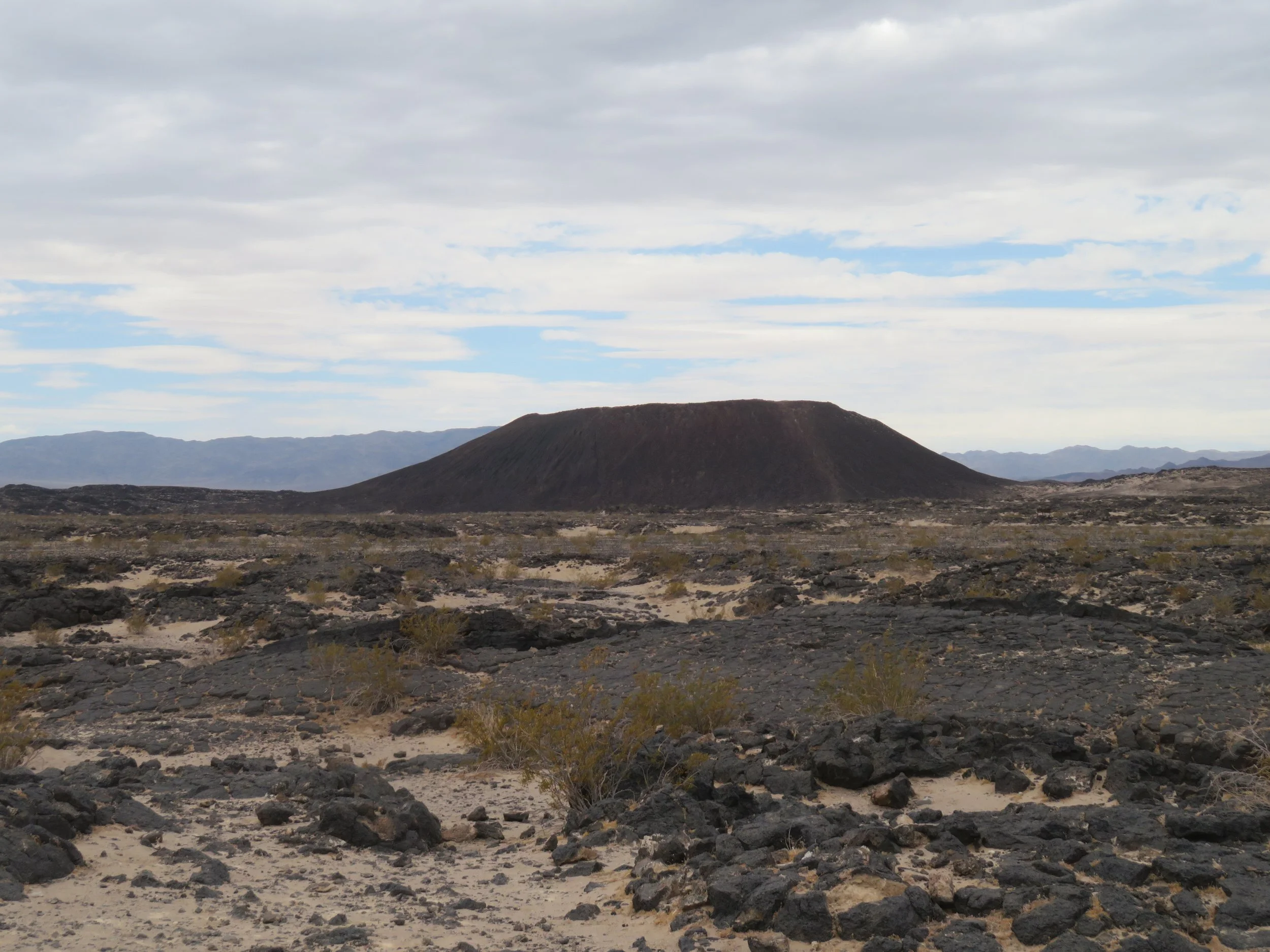
We could see the Amboy Crater National Natural Landmark from miles away. The entrance was just down the road from Roy’s and about ½ mile off Route 66, and thus it required yet another stop. Administered by the BLM, this dormant cinder cone volcano rises ~250’ above the desert floor and was the location for the 1959 movie Journey to the Center of the Earth. There’s a well-marked trail to the top of the crater, but the 101°F desert temps precluded a hike this day. We made do with a short walk to an info kiosk with good views.
We did a double-take when we spotted a lone Foo dog statue sitting in the middle of the desert a couple hundred feet off the road. There used to be two, we learned, but there was only one when we passed by. They’re sometimes referred to as the Guardian Lion(s) of Route 66. No one knows who placed it (them) there.
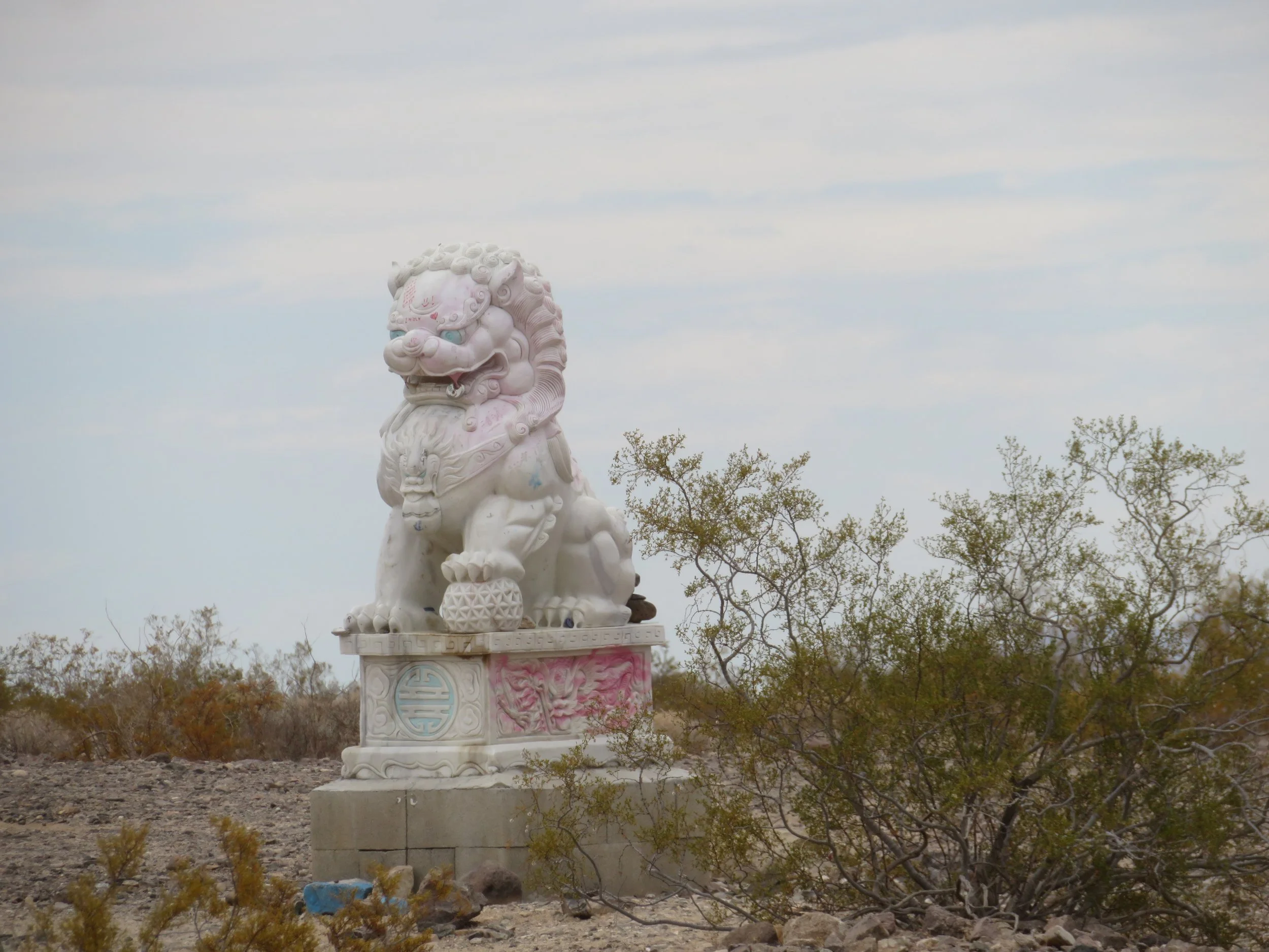
Where did you come from?
We also spotted some Amazon railroad cards sitting all by themselves on a siding.
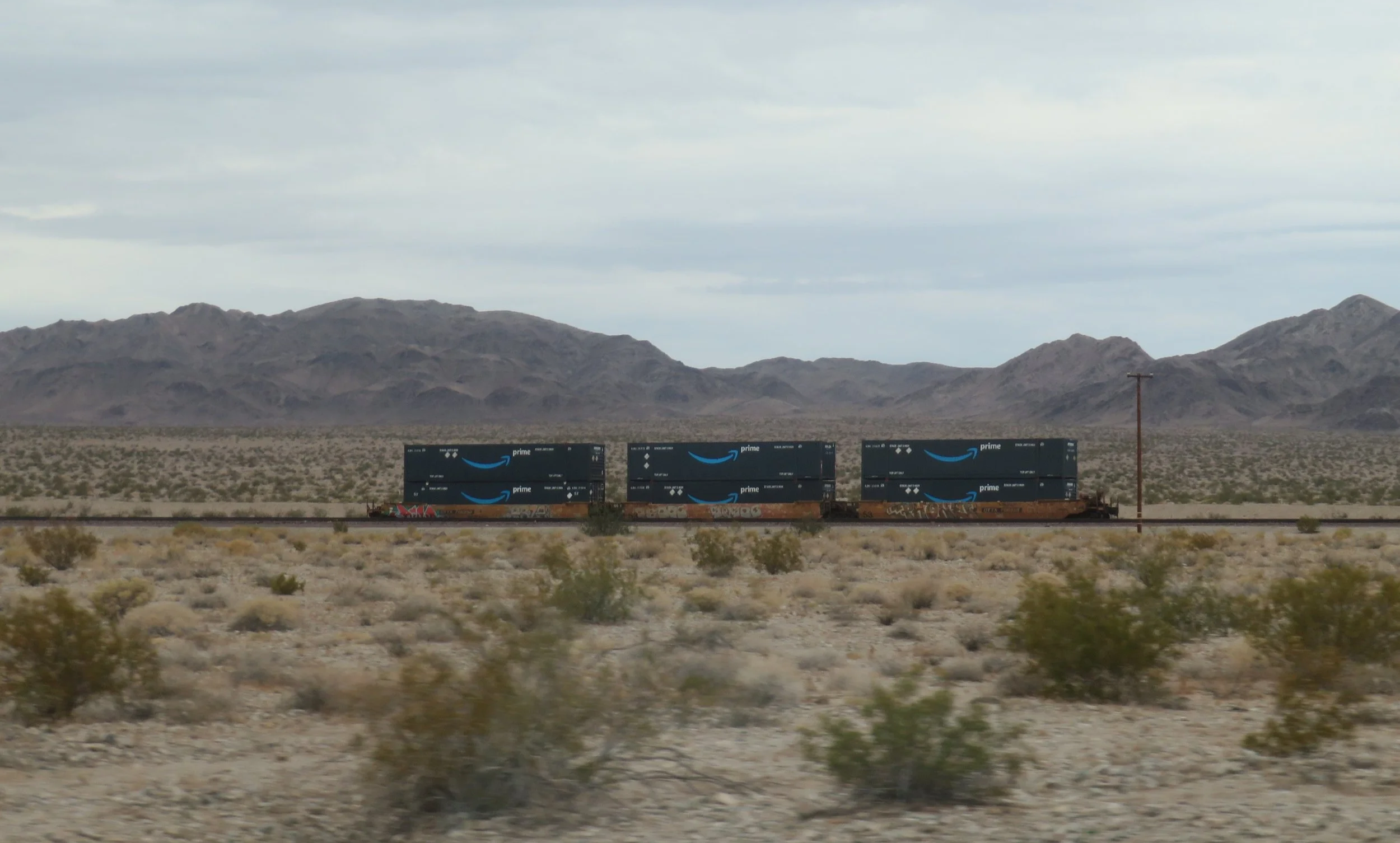
Ever wonder where your Amazon order went?
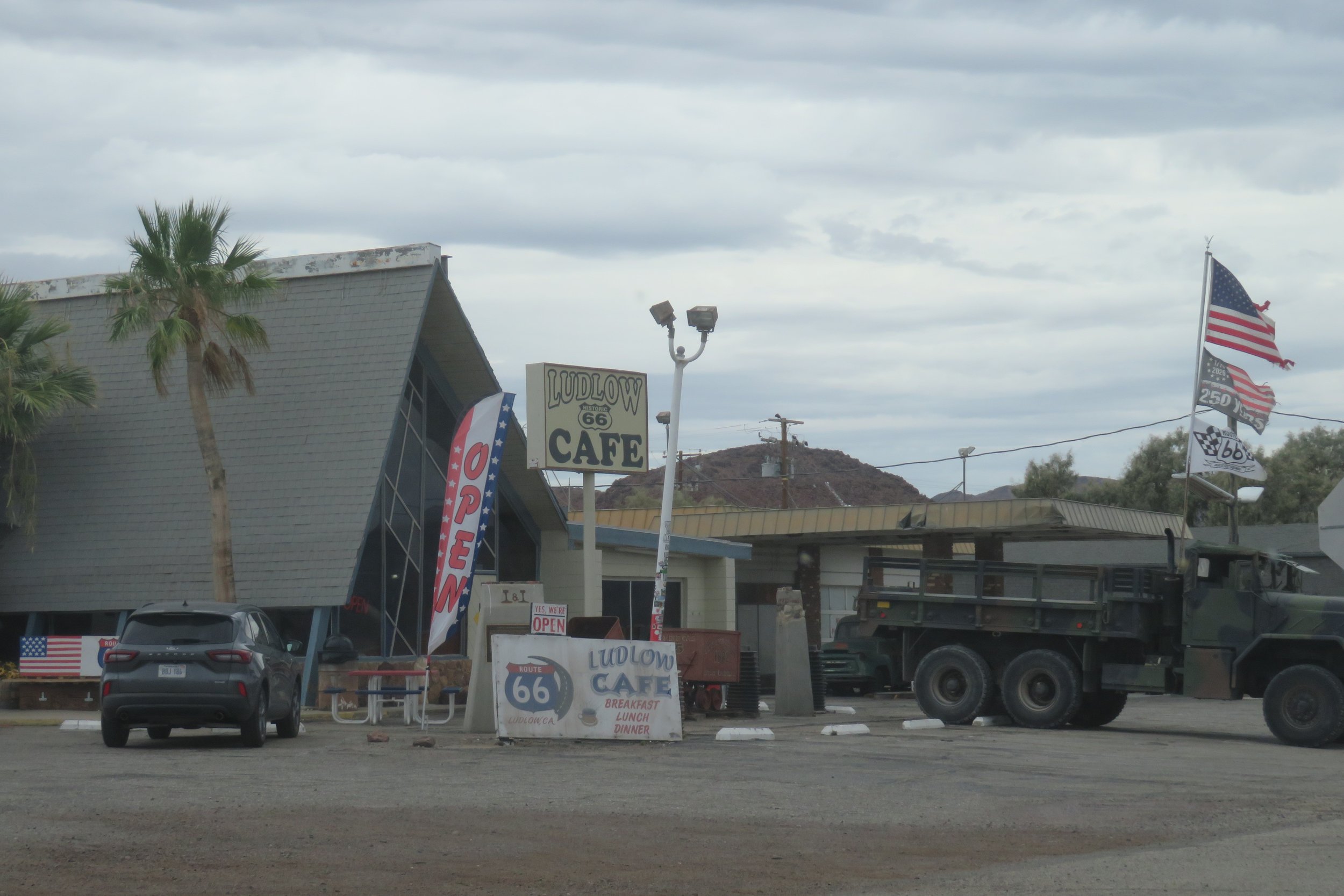
Detour after detour for road maintenance slowed us down, but we finally arrived in Ludlow, once a key stop on Route 66 and now a ghost town with lots of dilapidated buildings. There’s a gas station and the Ludlow Cafe, a diner offering a varied menu, along the route. We passed it up in favor of stopping at the ‘world famous’ Bagdad Cafe just up the road a few miles.
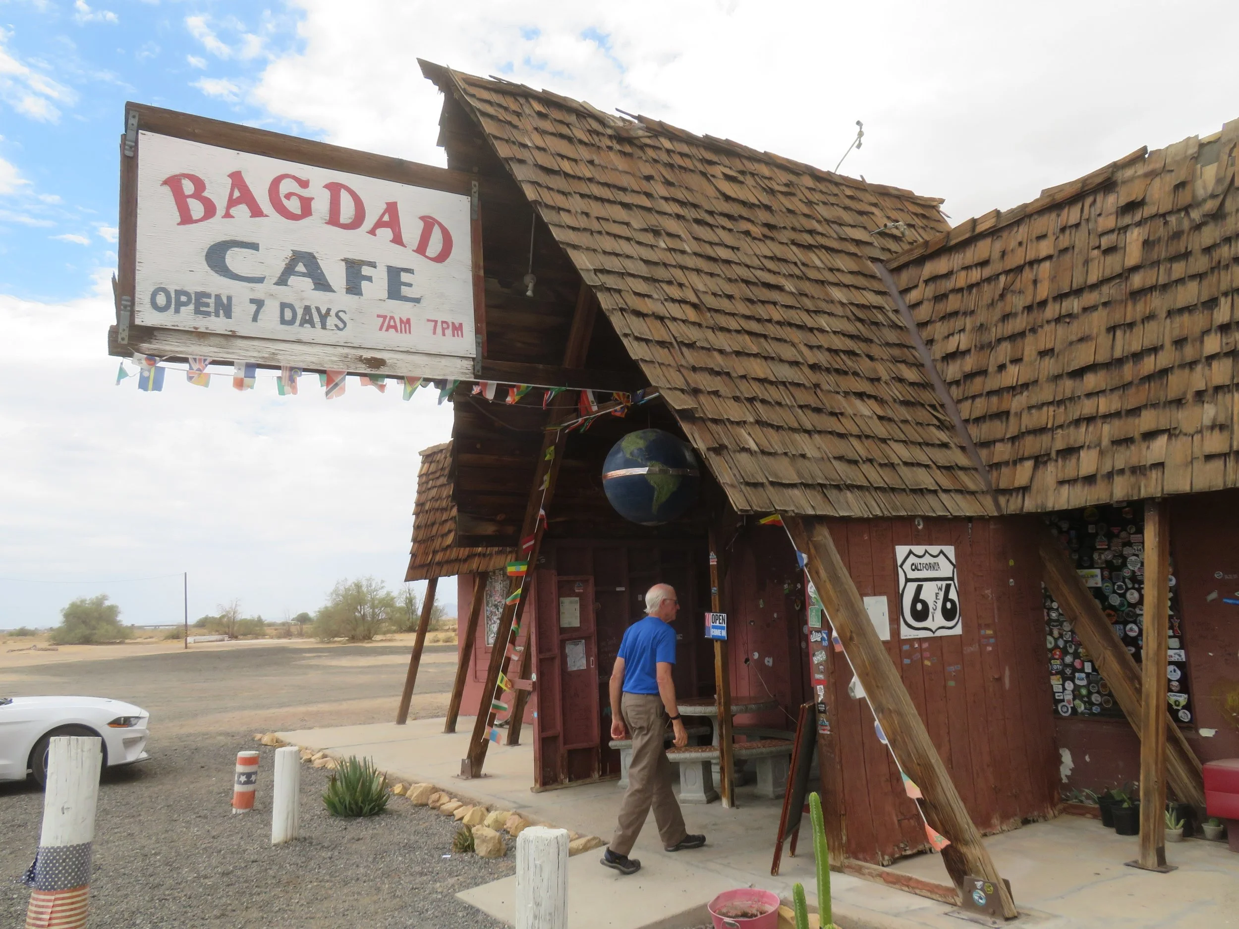
The tiny town of Bagdad is long gone with nary a remnant, but the Bagdad Cafe in Newberry Springs was made famous by the 1987 cult movie, Bagdad Cafe, which we recently watched (free on Amazon Prime). The Sidewinder Cafe was the original set for the movie, and the owner, Angela Pruett, subsequently changed the name to the Bagdad Cafe in 1992 to capitalize on the movie’s fame. Angela died, but her legacy lives on. We stopped in, hoping for lunch, but a previous kitchen fire prevented any food service. Darn!
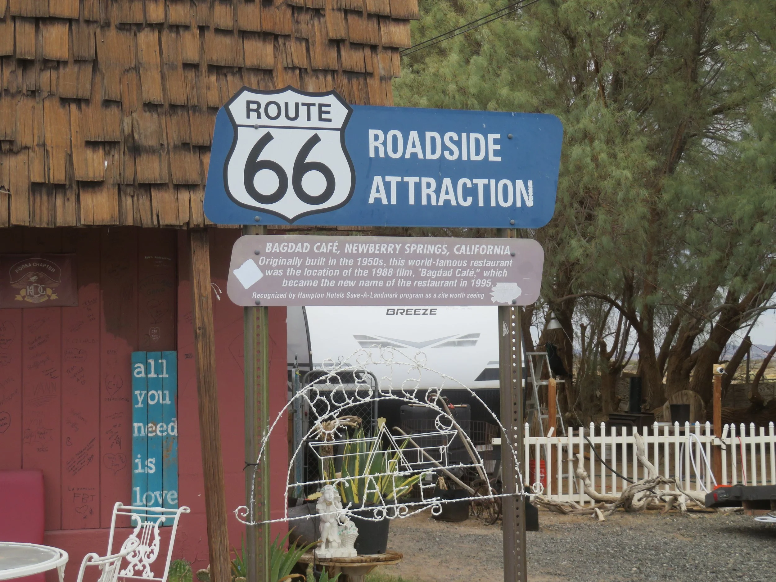
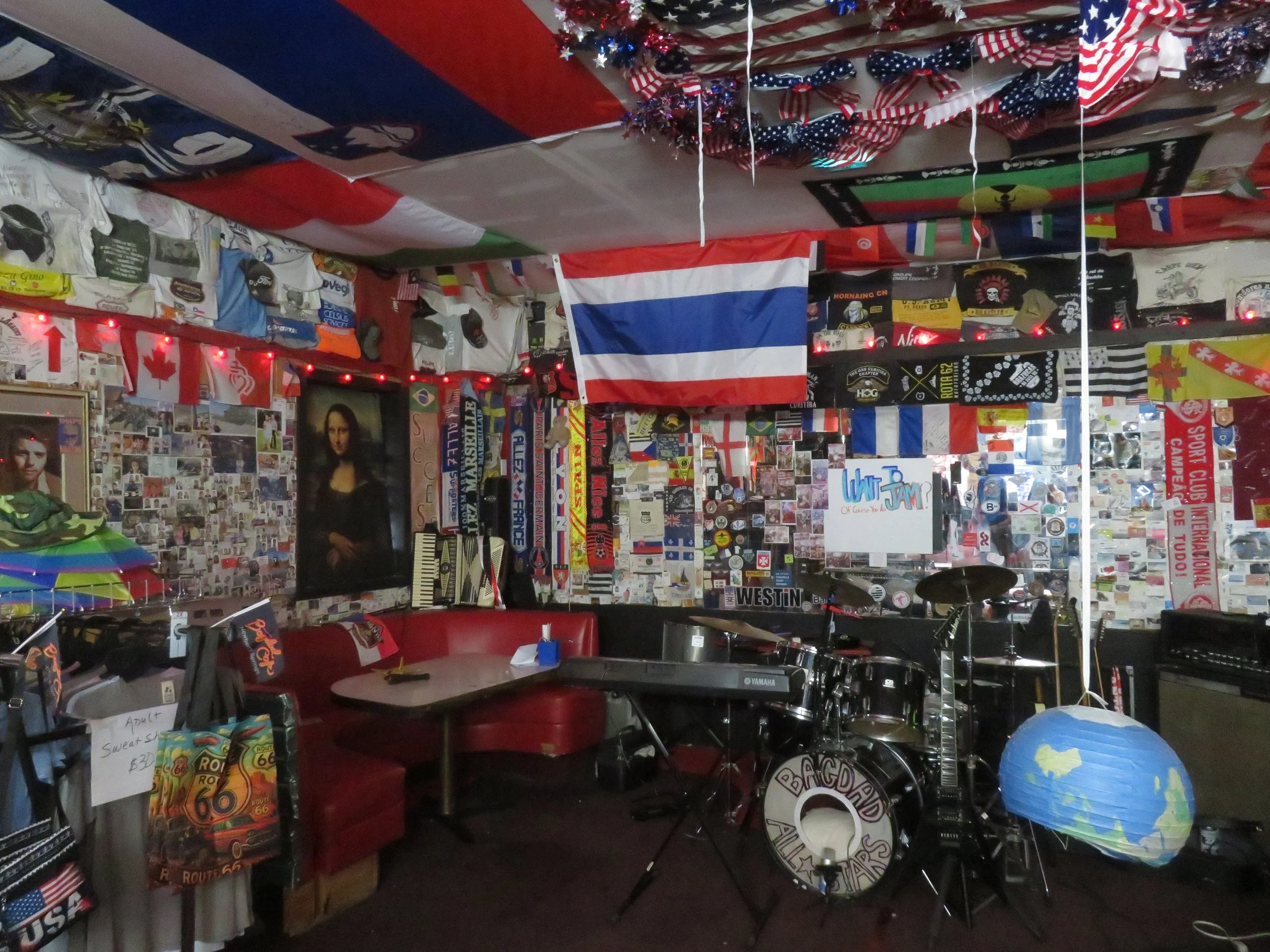
We passed through the tiny town of Daggett, once a terminal for the Twenty Mule Team borax run from Death Valley. There’s still a population of ~200 people, but there’s not much there. Further down the road, we continued onto the National Old Trails Road again, thinking it was still Route 66. When we ran into a guarded U.S. Marine base gate, we figured we probably needed to jump back onto I-40 to get to our next stop in Barstow. Just to make sure, we approached the gate where the guard asked for our IDs, then politely showed us where to make a U-turn and sent us on our way. BUT it was US-66, we just couldn’t go through.
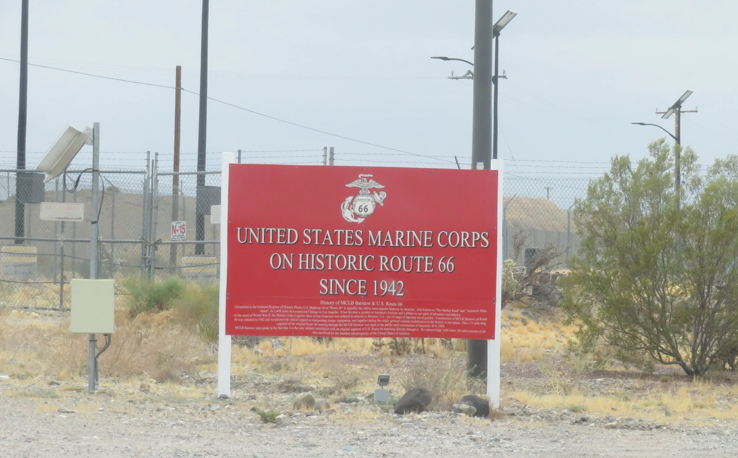
Not fair! It’s Route 66 and they made us go around.
We got onto I-40 around the Marine base, then once again found the original Route 66 in Barstow, where we made a pit stop at Walmart for a quick battery top-up, a leg-stretch and a pee break. This is our first long trip in the Ioniq 5, and we’re a bit ‘range anxious’, especially traveling on backroads. Once we become more accustomed to the charger apps and our new EV, I doubt we’ll be charging as frequently. For now, better safe than sorry.
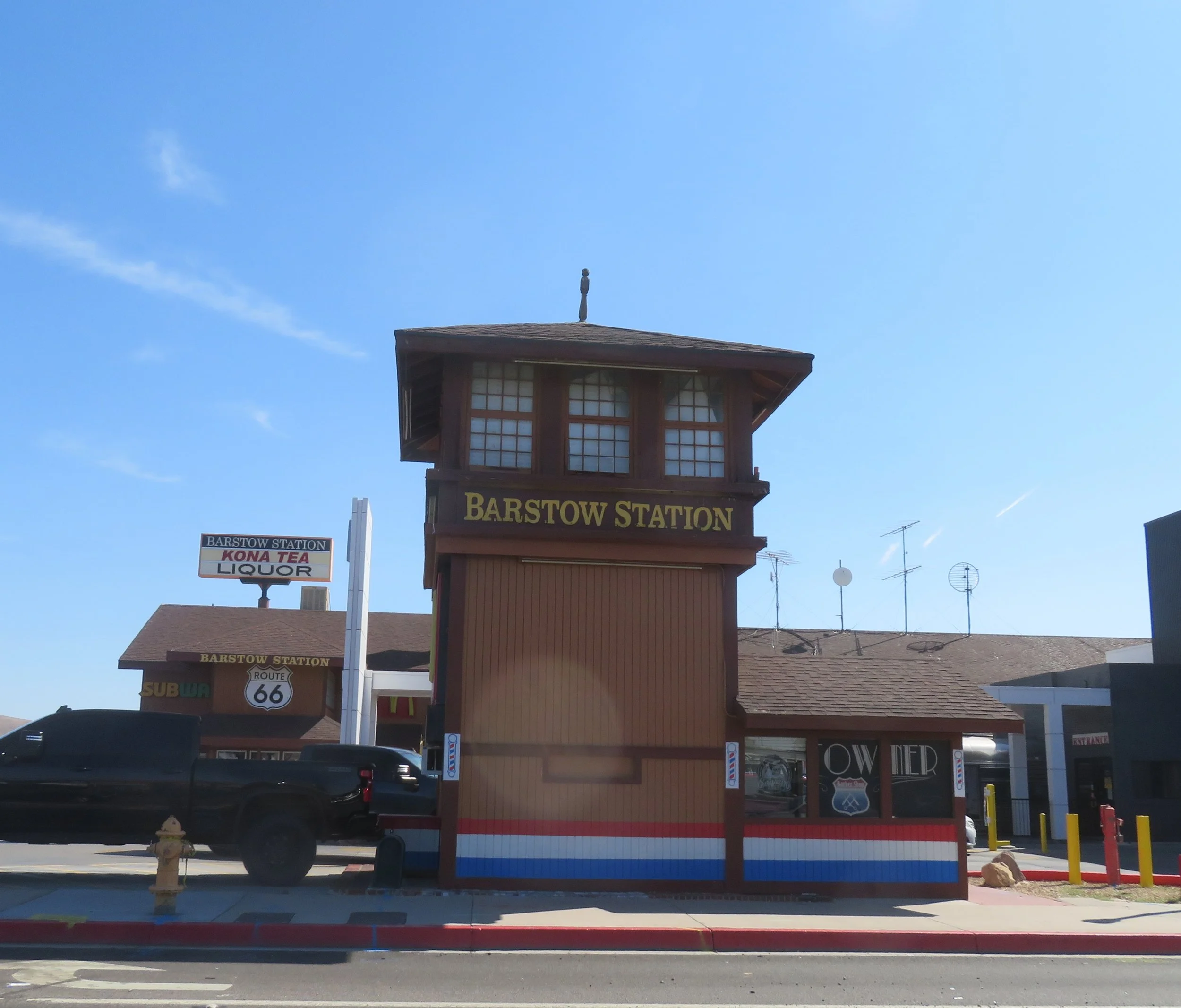
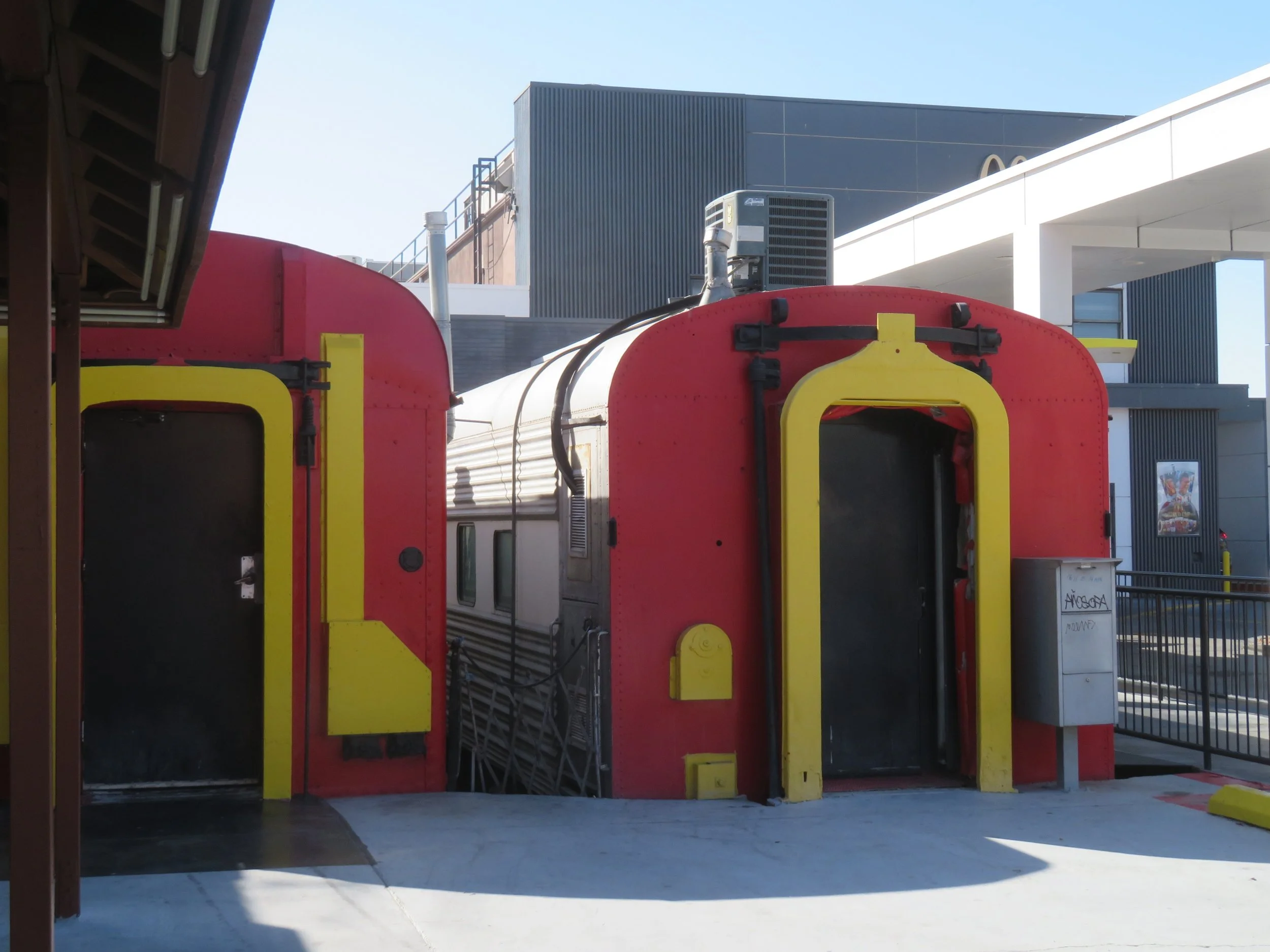
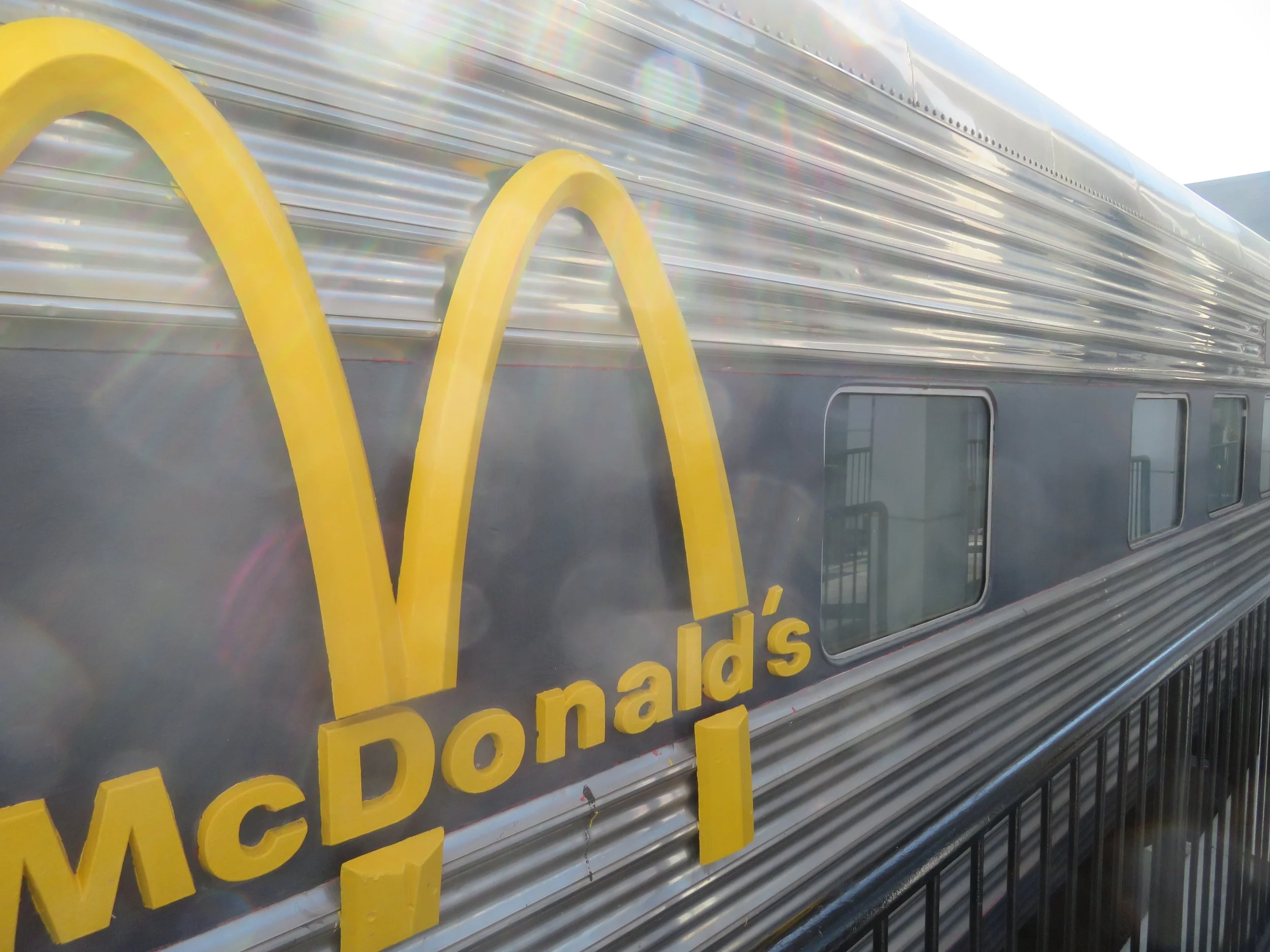
The Mother Road Museum in Barstow was closed. We stopped briefly at the Barstow Station, a food court with chain restaurants (Subway, McDonald’s), kitschy souvenir shops, and a huge Tesla charging station (which we didn’t need). All the shops are housed in old railroad cars.
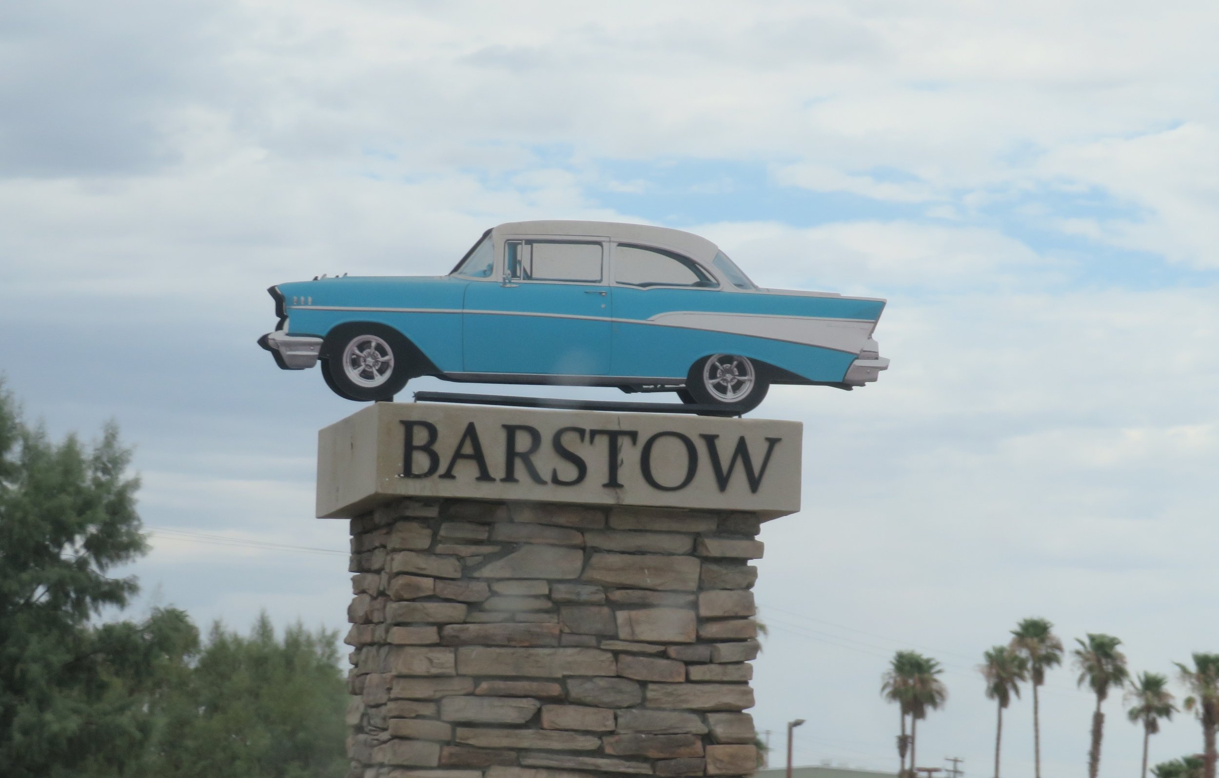
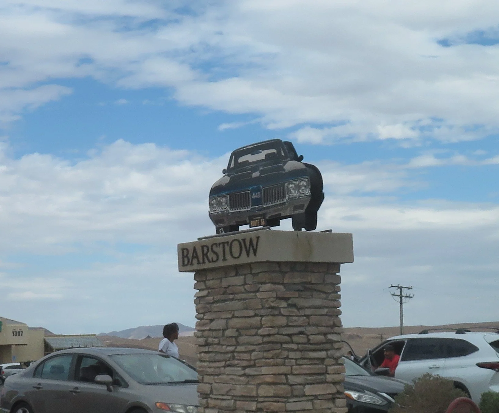
Barstow has installed eight vintage car monuments from the 1950s-1970s with state names representing the eight states through which Route 66 passes. The monuments sit atop 10’ tall columns along the route where several iconic Route 66 neon-signed motels, diners, and cafes still operate.
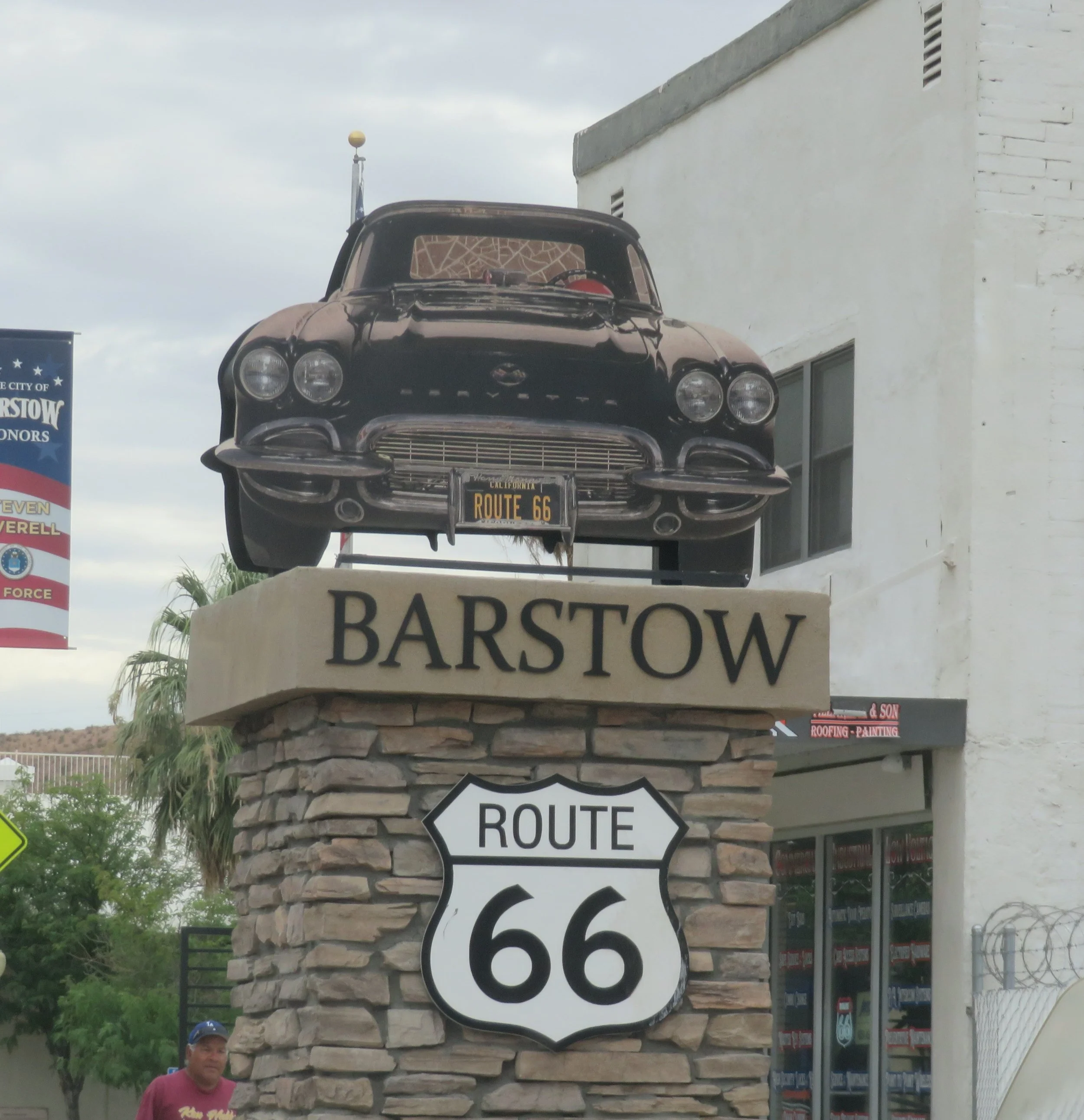
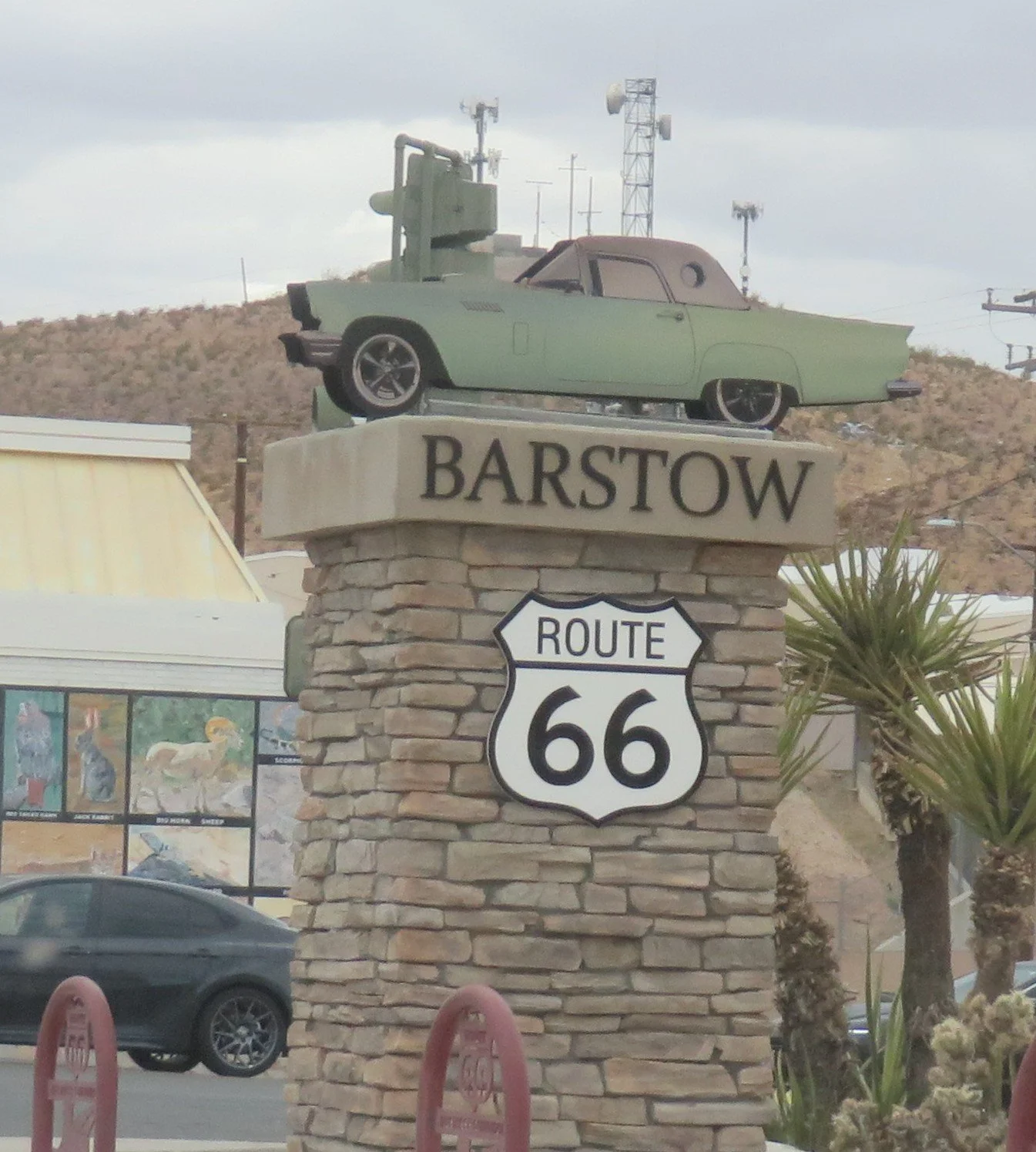
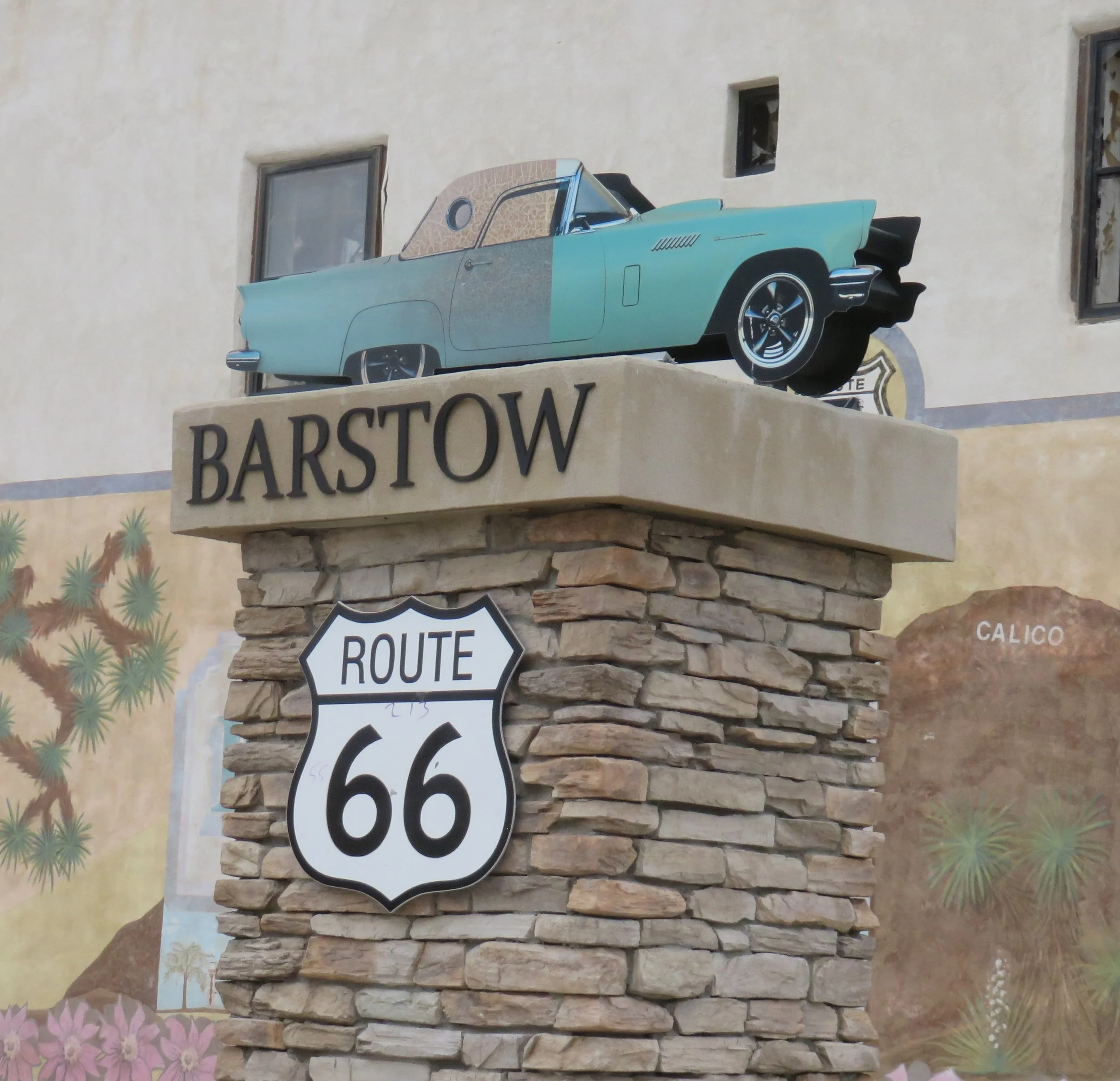
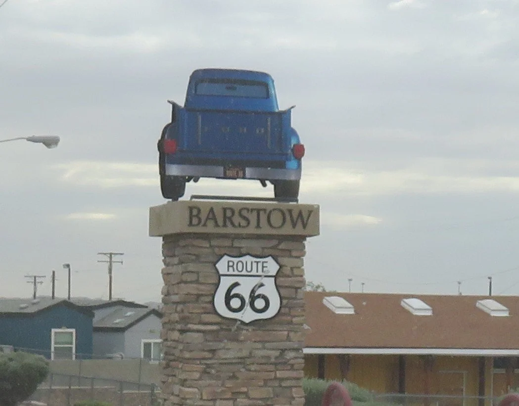
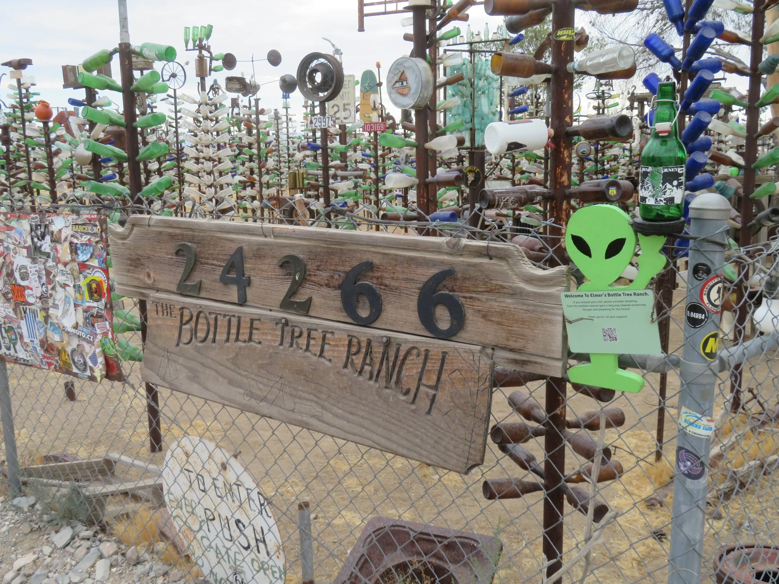
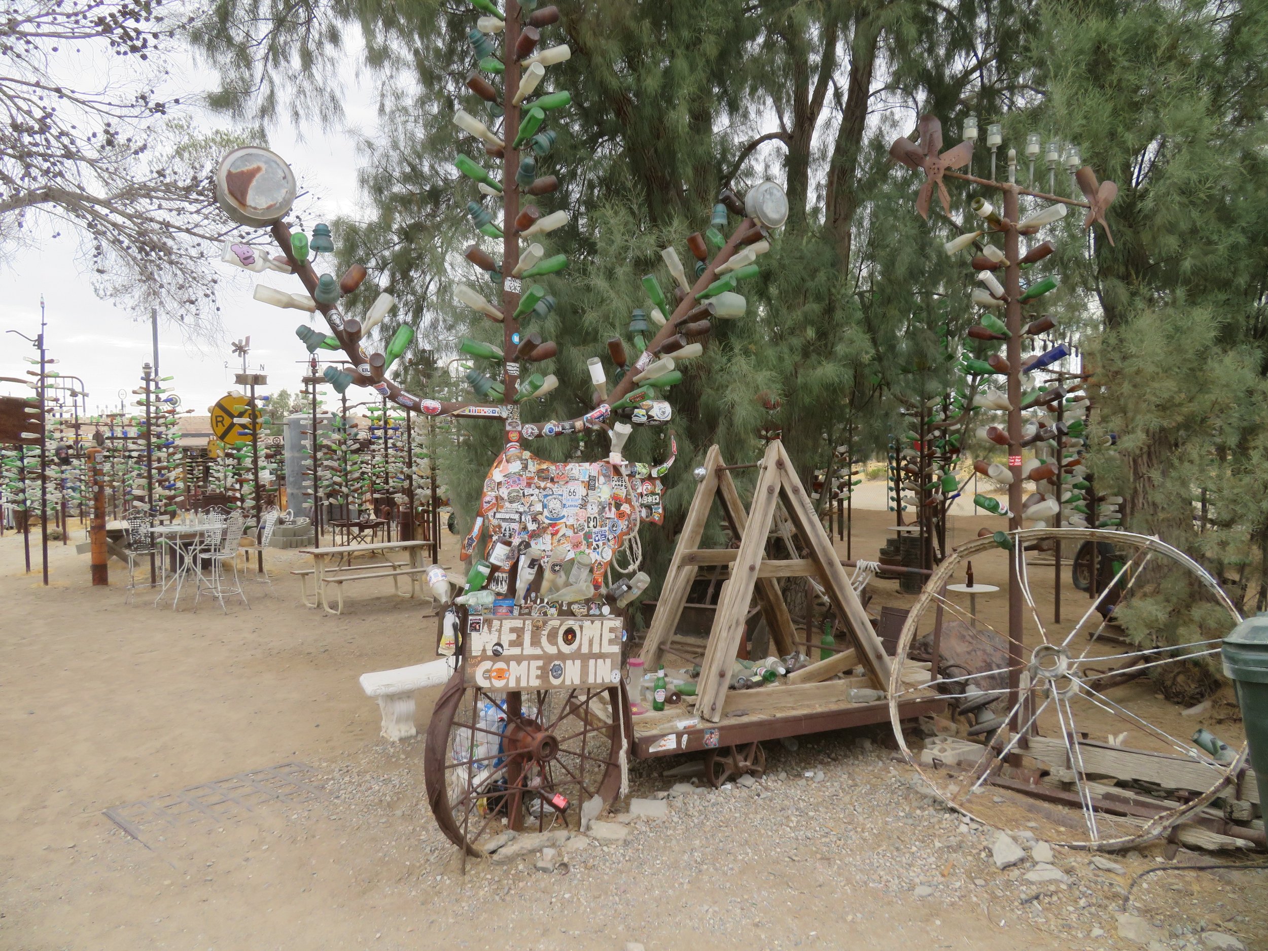
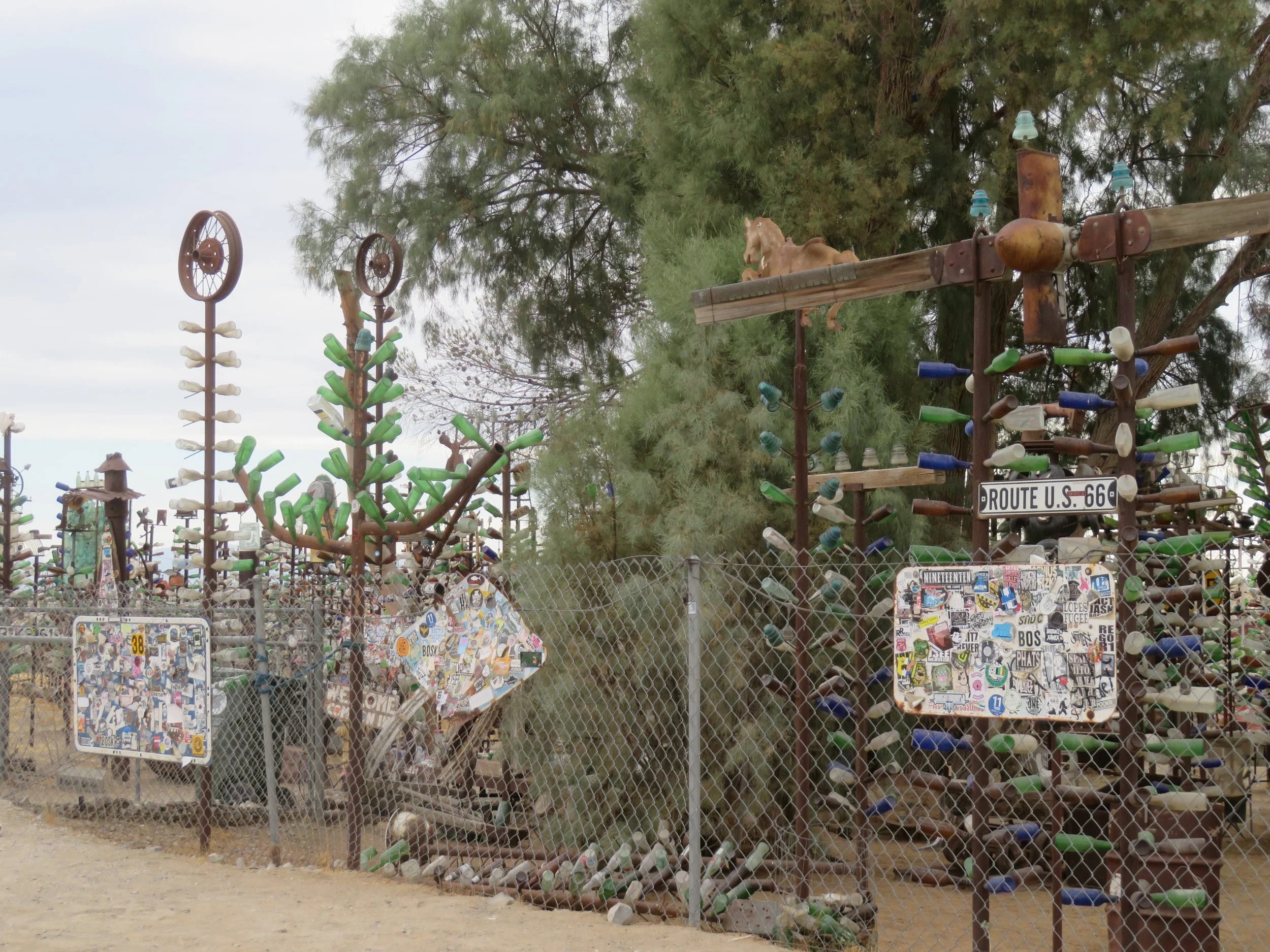
We followed Route 66 out of Barstow to Oro Grande. Again, the Mother Road joined the even older National Old Trails Road. We were on the lookout for Elmer’s Bottle Tree Ranch and spotted it immediately. The gate was open to this quirky, bizarre display of old bottles and found items refashioned into a forest of more than 200 ‘trees’. A labor of love for Elmer Long from the early 1950s until his death in 2019, the ‘ranch’ is now maintained by his son, Elliott. It’s free to visit and wander through. Donations are welcomed.

By the time we reached Victorville, we were Route 66-ed out. It was late afternoon, and we still had a ways to travel to San Bernardino for the night. Victorville’s Route 66 Museum was closed, which was a blessing since we didn’t have the energy to explore it. We missed the cut-off for old Route 66 through Hesperia and Fontana, though we hunted for it and finally gave up and headed to a Route 66 icon… the Wigwam Motel in San Bernardino, our room for the night.
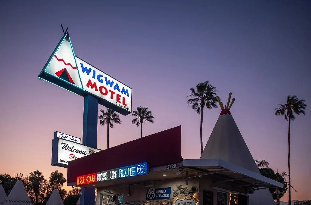
Wigwam Motel in San Bernadino Photo credit: Wigwam Motel
Join us as we continue on our California Route 66 journey. We’ll meet you on the Santa Monica pier!