Another Detour - Haines, Alaska

Another Detour - Haines, Alaska

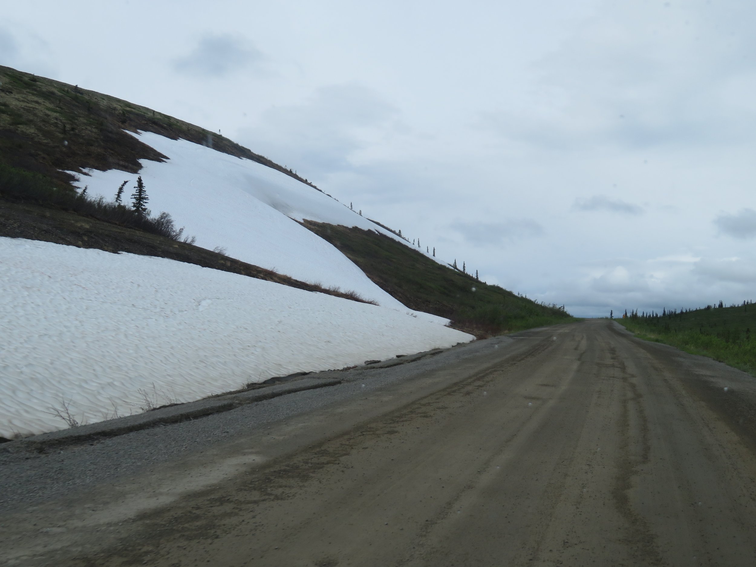
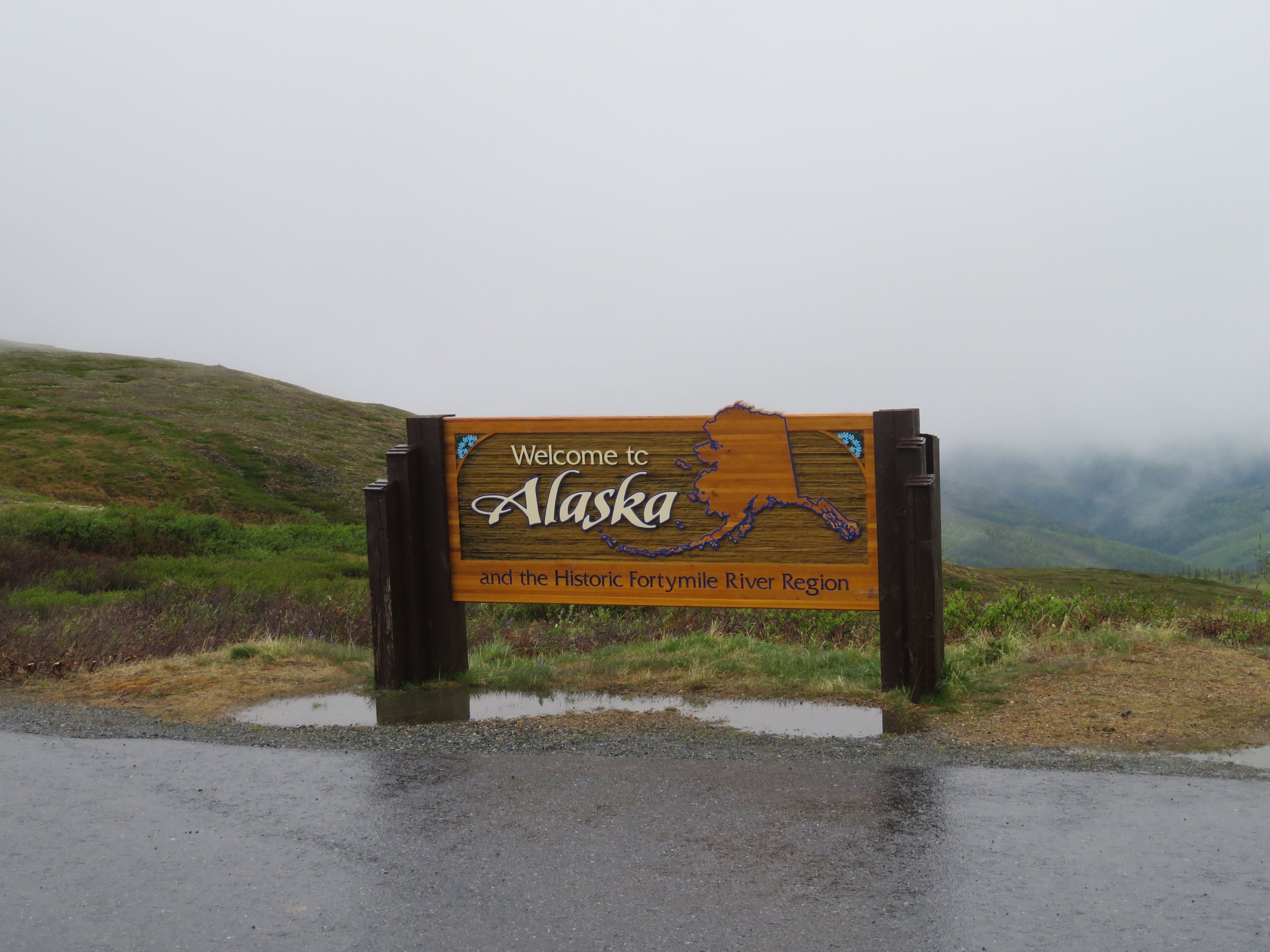
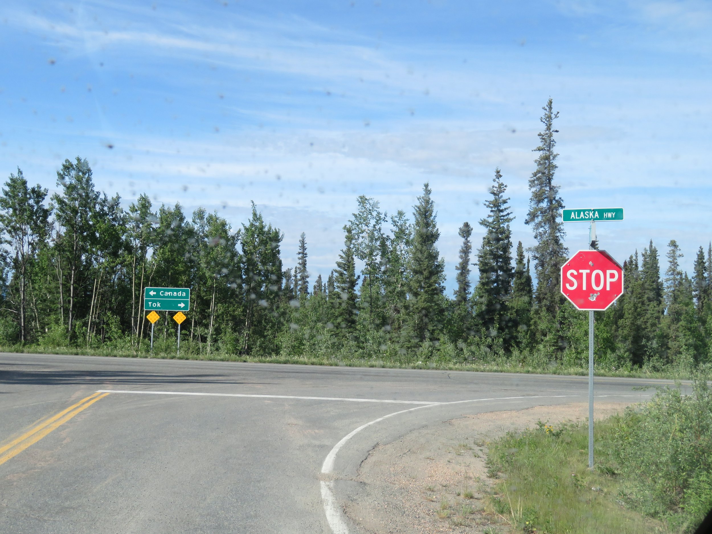
We were back on the Alaska Highway in Tok (rhymes with poke), Alaska and the obvious thing to do was to either head north to Fairbanks or west to Anchorage, but… there’s always a ‘but’. I’d recently read a brochure about Haines, Alaska… another pene-exclave community about 438 miles south… way out of the way, BUT it was on the Lynn Canal (the longest and deepest fjord in North America), it looked like a very picturesque community AND we could possibly catch an express catamaran sightseeing trip to Juneau from there. Why not?

Read More

On Top of the World Visitin’ Chicken

We vacillated back and forth and finally decided to spend another day in Dawson City. At 10am, after surveying the cloudy sky for the twentieth time, we changed our minds once again and headed out onto the Top of the World Highway (Yukon-9).

The Top of the World Highway (TOTW) is 79 miles long and connects the ferry terminal on the west side of the Yukon River at Dawson City to Tok where we can reconnect with the Alaska Highway. Only open mid-May to mid-October, the TOTW was named because the highway meanders along the crest of the hills above the tree line looking down into the lush green valleys far below… like being on the top of the world. It’s one of the most northerly highways in the world just like the Dempster which we’d just traveled, and, like the Dempster, it’s mostly gravel and in rather rough condition.

The overcast conditions muted some of the spectacular vistas. We’d driven this highway nearly 30 years ago and remember very little about it other than we did it… in a rental car.

The highway stretches on and on like a dun-colored ribbon fringed in purple lupine, snaking and winding its way west along a narrow ridge with dramatic drop offs on both sides. Intermittent sprinkles helped keep the dust to a minimum. Just to keep things lively I sang my Karen Carpenter rendition of “I’m on the Top of the World”. David tried to ignore me, but he finally succumbed… I could hear him humming along.

Snow patches linger on the roadside.

The temperature dropped 11 degrees since leaving the campground. Dark gray clouds enveloped the streaks of blue sky. The crests of the hills are blind giving the impression that we’ll drive right off the edge on the other side. The road is just following the contour of the land… steep ups to tree line and steep downs into clefts between the valleys. There are times when we felt nearly overwhelmed with the beauty all around us… the vastness of the place. We sometimes felt a similar feeling being on the ocean. My shutter snap finger is definitely getting a workout.

The intermittent sprinkling progressed to a steady rain. Low hanging clouds drifted across the road reducing visibility to near zero at times.

Sixty-five miles west of Dawson, we came to the U.S. Border Control and pavement. All the same perfunctory questions were asked… firearms, liquor, CBD products… where are you going, where did you come from? Check of the passports and we were through in about three minutes. The Poker Creek Border Control, by the way, is the most northerly border station in the USA.

We were in Alaska at last and we gained an hour to boot. We were now on Alaska Time.

… and then the pavement ended again rather abruptly and we were back to gravel.

Another 13 miles of rain and fog and winding, hairpin turns on a road that seemed to cling to the side of the mountain and the TOTW ended and the Taylor Highway began, leading us to Chicken. Each time the rain stopped, we thought it would clear, then big fat drops would splatter on the windshield once again, followed by bright sun.

At last we arrived in Chicken. It’s ian interesting little place. It has no electric grid and no public plumbing or water. The population varies between ~37 to 100 or so depending on the time of year. It allegedly got its name from the miners who worked here and wanted to name their town ‘ptarmigan’, but couldn’t spell it, so they named it chicken instead.

It was founded as and still is an active gold mining town. The Pedro Dredge #4 which operated in Chicken Creek which began its work in Fairbanks in 1938 and worked in Chicken between 1959 and 1967 is now considered a National Historic Site.

You can even pan for gold for free in the creek and keep whatever you find.

The chicken theme pervades every aspect of the town… from the chicken on the hill, to the chicken noodle soup they serve, to the items in the souvenir shops, to the outhouse designations, to the tablecloths and curtains in the Chicken Creek Cafe where we had lunch. The favorite t-shirt text is “I Got Laid in Chicken” and no, I did not buy one… I chickened out!

Eggee, the iconic chicken on the hill, was created by high school students using recycled school lockers.

Miriam went shopping and found a new friend and they’ve been best pals ever since.

We missed the annual Chickenstock music festival by one day! Truth be told, we did try to buy tickets and would have enjoyed this quirky country-western fest, but they were all sold out. They sell about 1000 tickets we were told for the annual June event and are sold out by the end of January. Several folks who had attended were just leaving when we arrived and they all sounded like they’d really enjoyed themselves.

This fellow probably was not enjoying Chicken very much at this point.

We stopped at the tiny post office to mail some postcards. Even the post office is chicken-themed. We wonder exactly when those postcards might arrive at their destinations.

Another 18 miles on the Taylor Highway and we came to West Fork BLM Campground and stopped for the night. Located on Johna’s Lake, we claimed site #22 for the evening. It was a beautiful, spacious site complete with a park bench overlooking the lake. The cost per night was $12 and with our parks pass, we paid only $6. Quite the bargain. David started a fire with the free firewood provided and we feasted on BBQ chicken (keeping with the day’s theme) and couscous.

We walked around the campground road after dinner and met Klaus, the campground host and his dog, Luna. Klaus keeps a neat and tidy ‘house’… the campground and vault toilets were meticulously clean and well-stocked. Wildflowers were in bloom and we found some different ones that we didn’t recognize. Seek, our free iNaturalist app, came to the rescue identifying Marsh Labrador Tea, Arctic Wintergreen and Arctic Raspberry.

The rest of the drive to Tok (rhymes with ‘poke’) on the Taylor Highway was a multi-colored patchwork of a road. There were sections of deep gravel, some washboard, bits of pavement and huge potholes… some filled and many not, and cracks in the road that I’d describe more like fissures. The speed limit was 50 and 35 was more reasonable, if not for safety, then for the longevity of the vehicle. In Africa, we were used to hearing ‘TIA’, This is Africa. Up here they say, This is the North… and we’re just fine with it.

The Alaska Range and the Mentasta Mountains came into view as we neared Tok and then we were back on Alaska 2, the Alaska Highway, with decisions to make.

Tok, dubbed the ‘Gateway to Alaska’, is a major junction for heading north to Fairbanks, west to Anchorage or south back towards Whitehorse, Yukon. But I’d done a little research and found there was another road to the south and though off the beaten track, it offered some interesting sights. Hmm… we needed to ponder this a bit.

Next time… the results of all that pondering!