Driving the Dempster to Inuvik
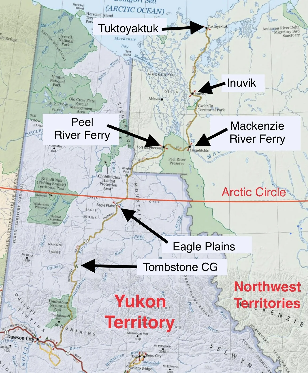
/Our son, Brennan, our personal geographer and tourist info guide, made us aware of a new (2017) 98-mile gravel highway, the ITH, that connects Inuvik to Tuktoyaktuk (aka Tuk) in the Northwest Territories.. It is the only public road in North America that allows folks to drive all the way to the Arctic Ocean and dip their toes. To get there, one first has to travel the Dempster Highway, 400+ miles one way on a gravel road with two river ferry crossings. All this to drive to the top of the continent? There was no doubt in our minds that we had to do it.
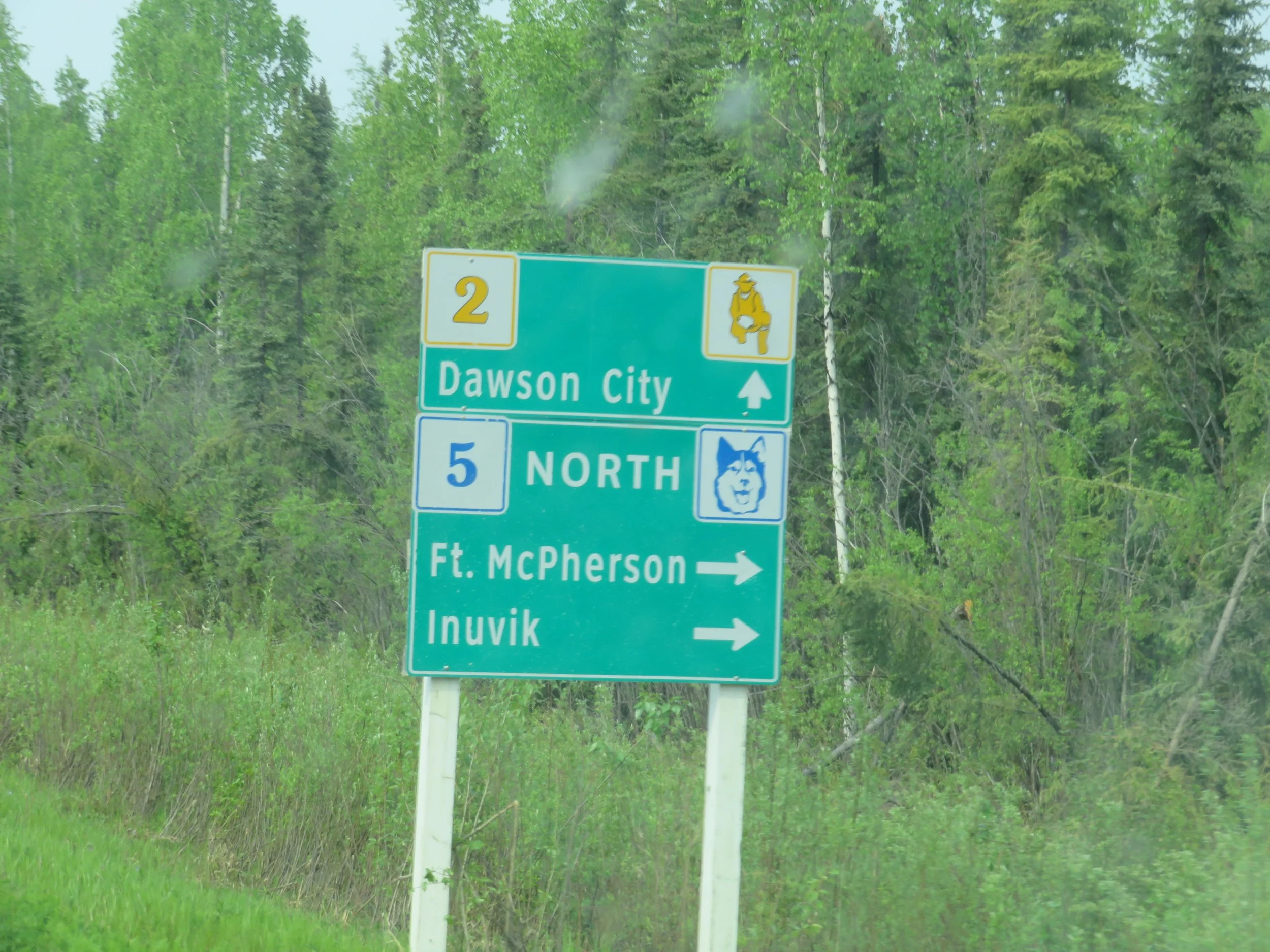
It rained hard all night and was cold and gray when we set out in the morning onto the Alaska Highway and diverting ~7 miles later onto the North Klondike Highway. David had called the Dawson City Visitor Centre the night before to determine if the ferries were operating on the Dempster Highway. “Not yet,” said the amiable lady who answered, “but we expect them to go in any day now. Check back.” We headed for the Dempster anyway… the ferries would be operating sometime in the near future. As it turned out, when we called again, they had begun operating that very day.
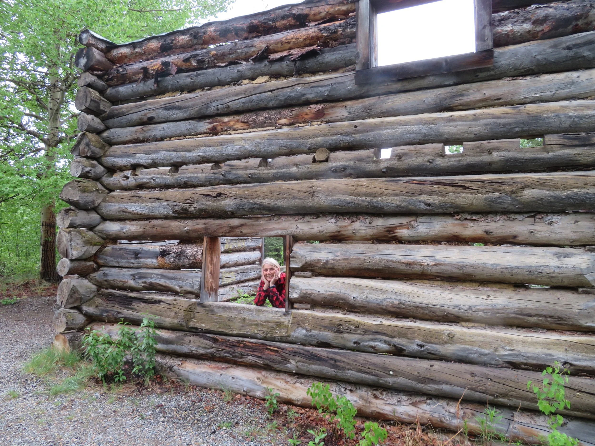
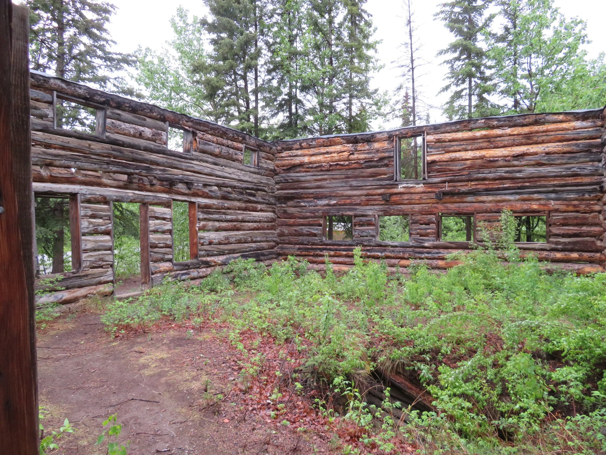
The rest area at the Montague Roadhouse was interesting. We stretched our legs, used the toilets and then explored the ruins of the old roadhouse. It had been used on the stagecoach run, the Overland Trail, between Dawson City and Whitehorse back in the early 1900s.
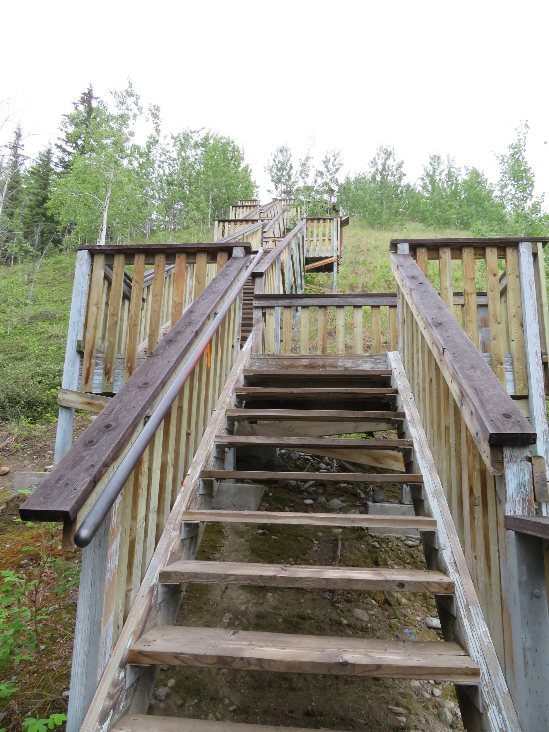
At the Five Finger Recreation Site, we clomped down 219 steps to take a walk and then found the path beyond to be steep and muddy. We climbed back up the 219 steps with a bit less enthusiasm than on the descent. Four rocks and five channels made for treacherous rapids on this stretch of the Yukon River.
Watching our fuel levels has become an important part of our travel since detours like ours don’t always have gas stations available all that frequently. At Pelly Crossing, we filled up ($1.90/ltr), giving us a range of about 400 miles. From Pelly, it was another 130 miles to the Dempster where we hoped to be able to fill up. If not, it was 230 miles up the Dempster to Eagle Plains before more fuel would be available which would cut it very, very close.
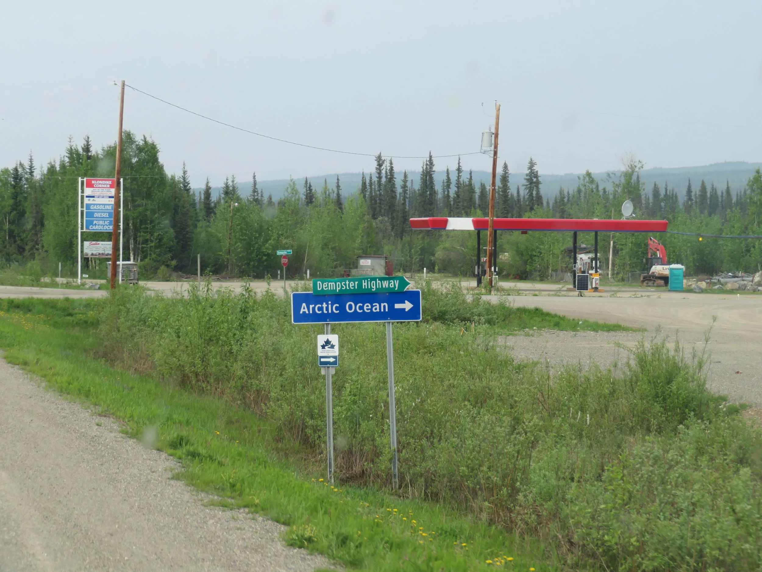
At the junction of the Klondike and Dempster Highways, we stopped at an unattended card-lock station hoping to fill our tank. The card-lock stations are either public or commercial. If commercial, a special ‘fleet card’ is required to access fuel. At the public card-lock stations, a credit card must be used and an amount pre-approved before you can start fueling. Luckily, all went well and we topped up.
We noted with both amusement and excitement, the directional sign at the junction of the Dempster and the Klondike Highways… Arctic Ocean——-> !
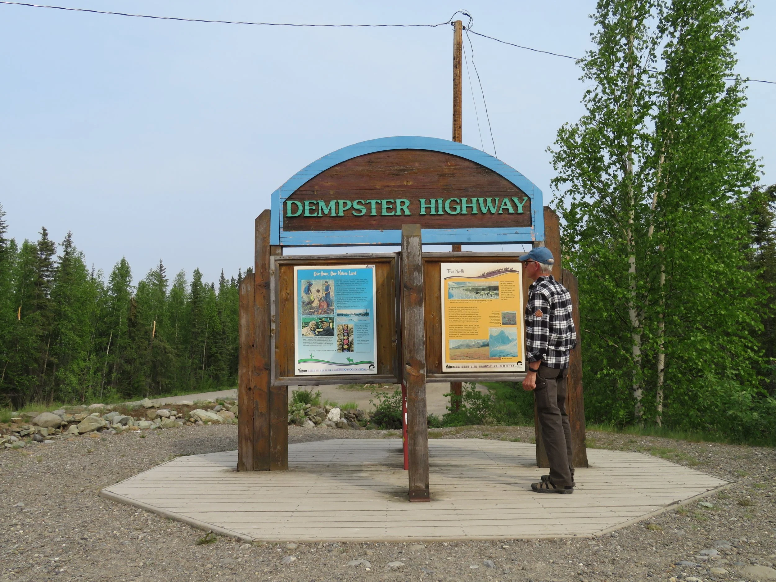
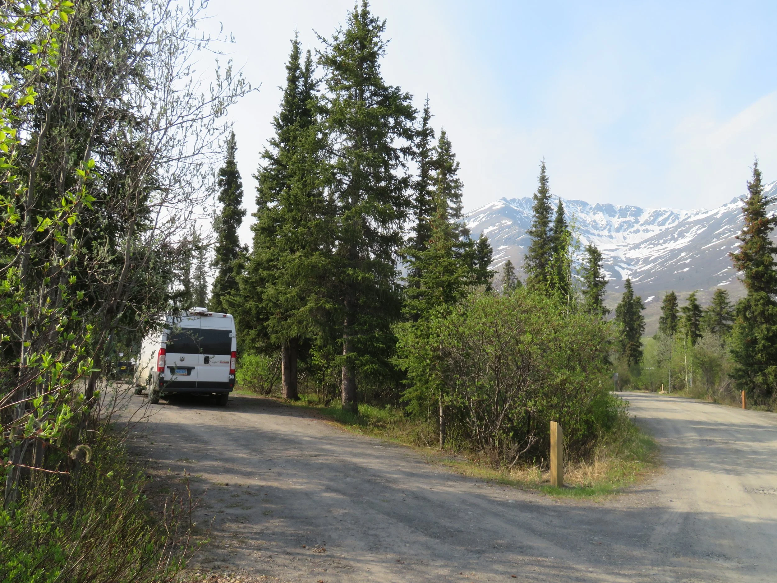
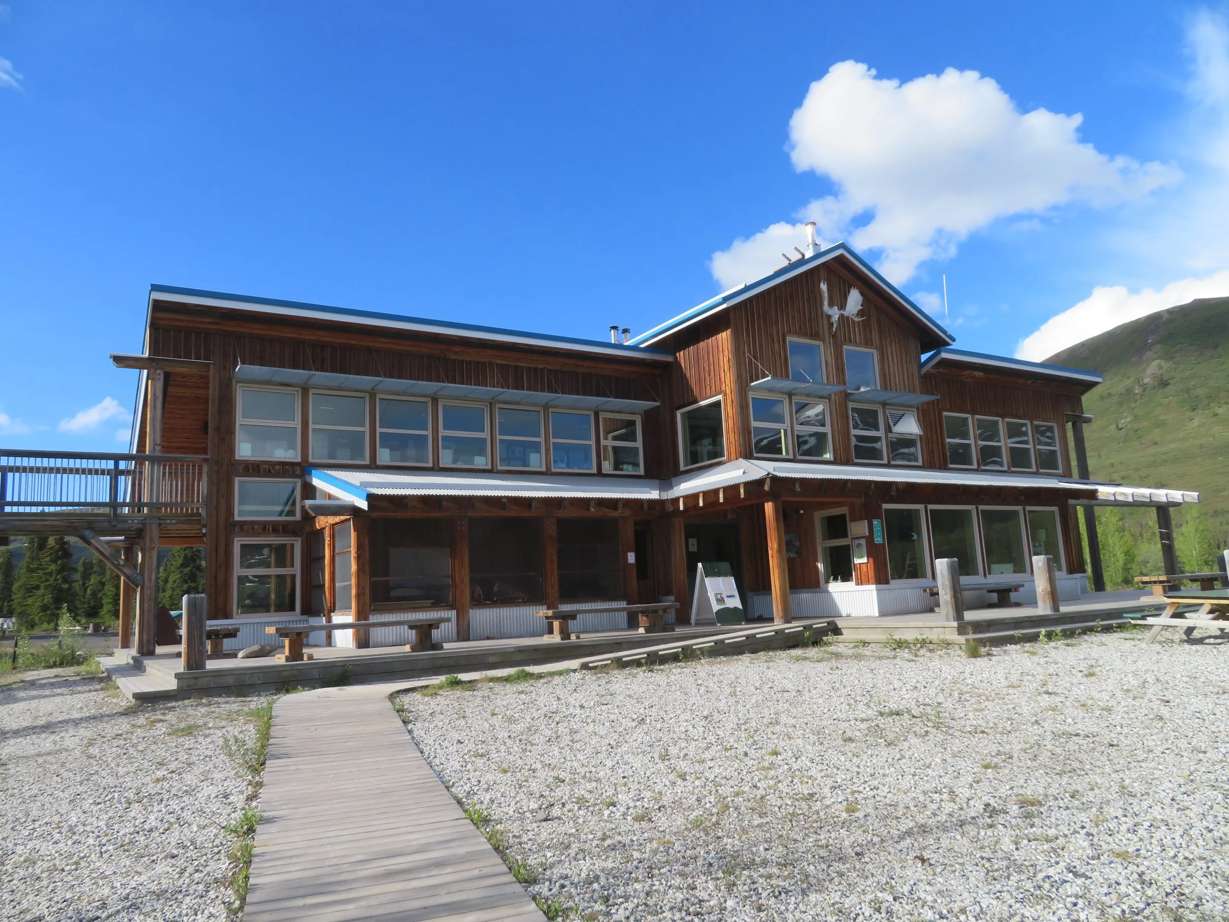
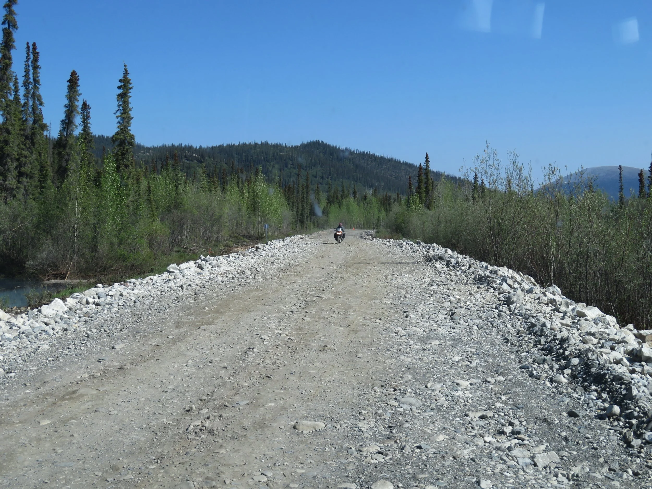
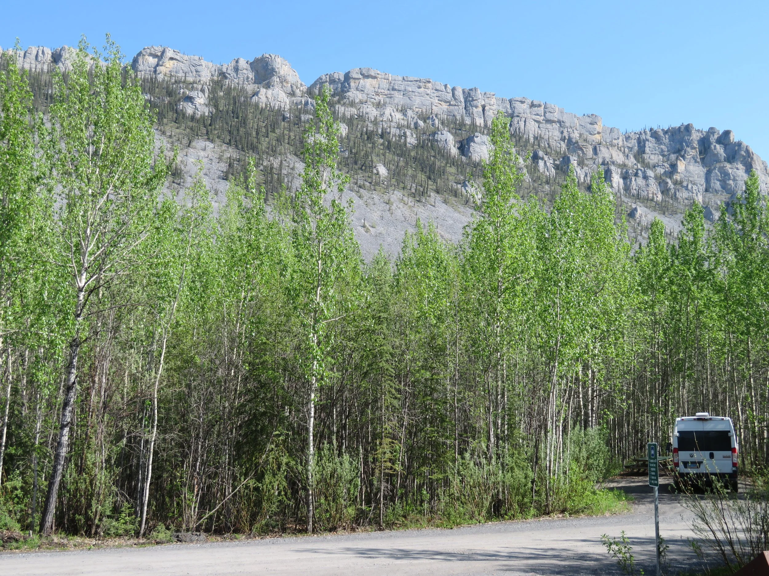
We turned onto the Dempster and began our long journey north. The road is wide with lots of potholes to avoid and washboard patches that can shake your fillings loose. New growth aspen trees line the road for mile upon mile. We saw little traffic. Tombstone Territorial Park and Campground was ~45 miles up the highway and we stopped for the night. It’s a lovely campground with great views, several trails, and a large interpretive center staffed with knowledgeable rangers.
It was late in the day when we claimed our site ($20/night). We were tired, hungry and getting cold. I made dinner while David lit a fire (free firewood at the park). We ate and sat till the fire went out then we collapsed into Blanche for the night though it wasn’t dark. Despite being light outside most of the night, we slept long and soundly.
The morning was cold, but we layered up and commenced to making scrambled eggs and potatoes on the propane stove. While I cooked, David decided to experiment with the bear spray since we hadn’t used it yet. I’ll let him describe the process in his next BV. Since we hadn’t explored the park at all, we walked the quarter mile path from the campground through the woods to the Interpretive Center.
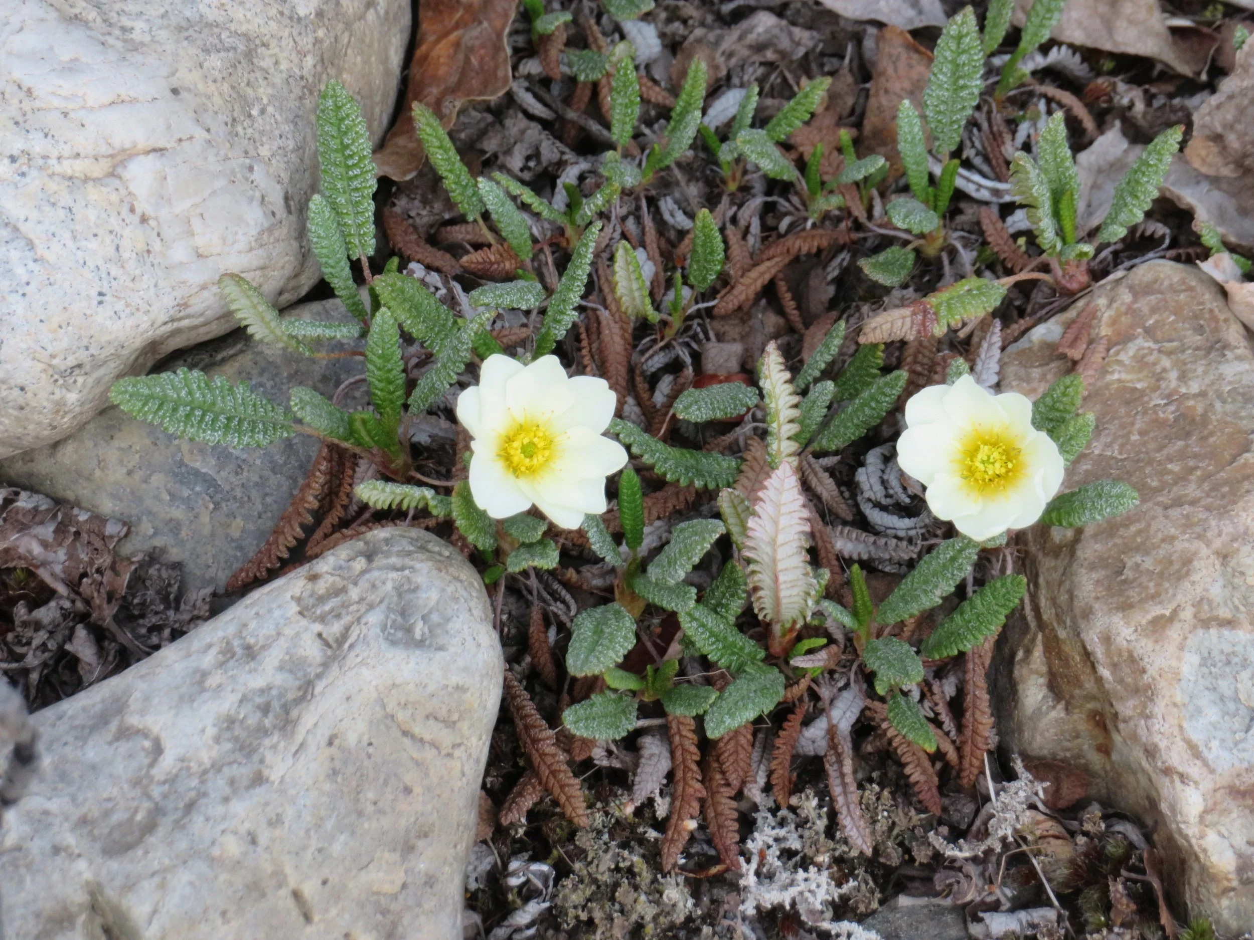
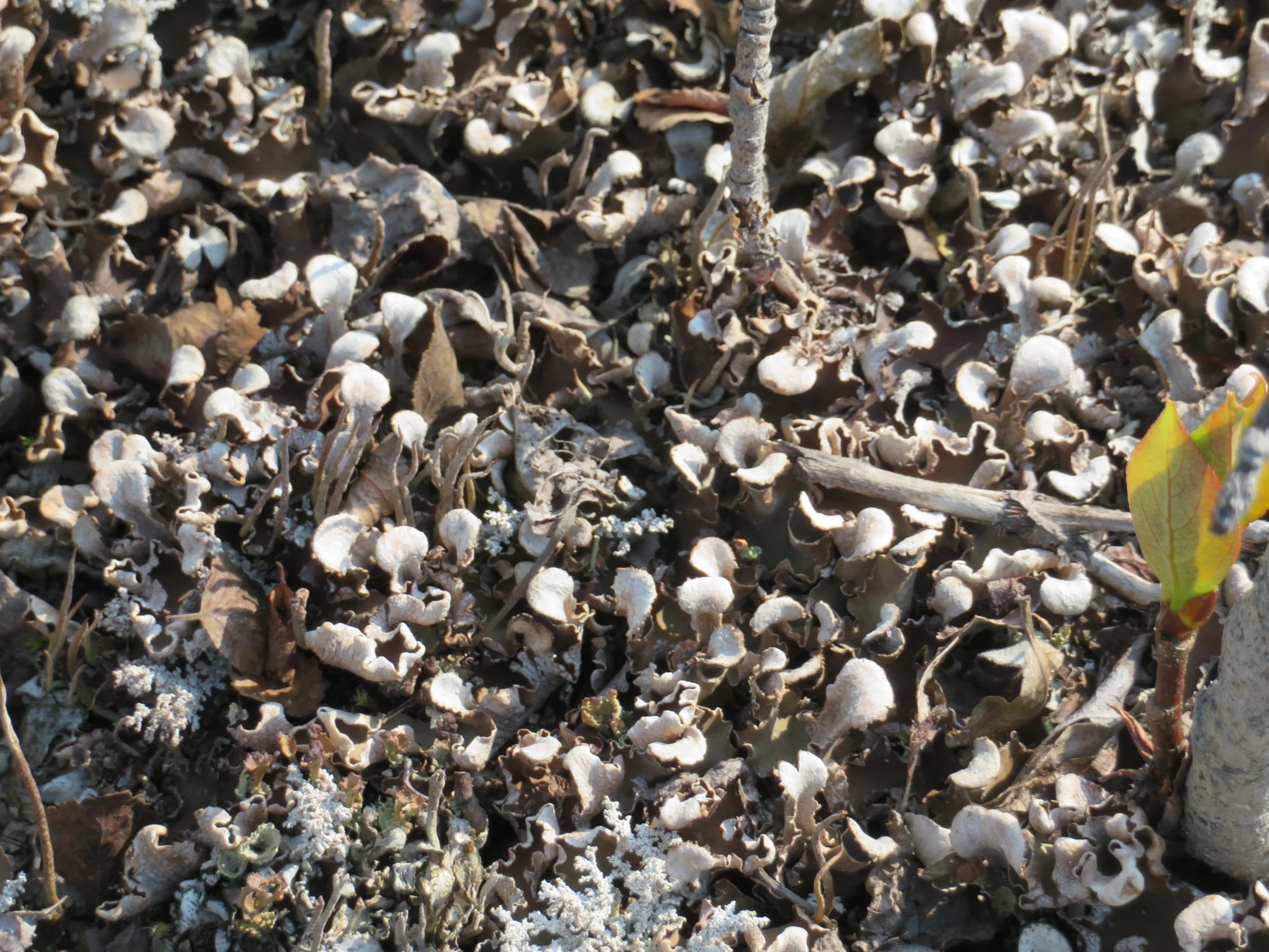
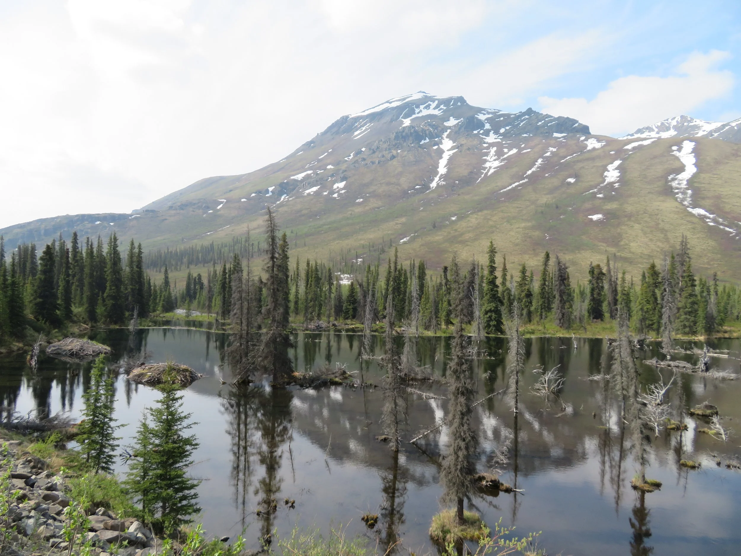
The ranger suggested a walk along the Beaver Dam Interpretive Trail. There was fresh scat all along the trail (later identified as moose and ptarmigan) indicating we weren’t the only walkers out this morning although we never met anyone or anything on our walk. Though we saw no beavers nor other critters, we did observe 8-petalled mountain avens, several different types of lichen (especially enjoyed by moose), pixie cup lichen and marsh marigolds… and one Arctic white butterfly.
The interpretive signs were interesting and the views of the beaver dam and the river were definitely worth the walk.
We headed back to the campsite and decided another day at Tombstone was in order. David expressed it well. “This is a bucket list trip for us. We need to savor it.” And so we shall.
We no sooner made it back to Blanche and it began to rain… really hard. It continued all the rest of the afternoon into early evening. With no rain in the forecast (as if we should have believed!), we’d left our chairs and other gear outside and everything was drenched… but we knew it would eventually dry.
In the evening, though everything was a bit soggy, we attended a ranger talk in the campground and who should appear but our Ontario buddies that we’d met back in Fort Nelson and subsequently several times along the way… Helen and Gerald. We chatted with them awhile and determined that they, too, were heading north, but due to time constraints, only as far as the Arctic Circle. We were sure we’d see them again somewhere along the way. After all, there’s only one road north and only so many stops en route to the Circle.
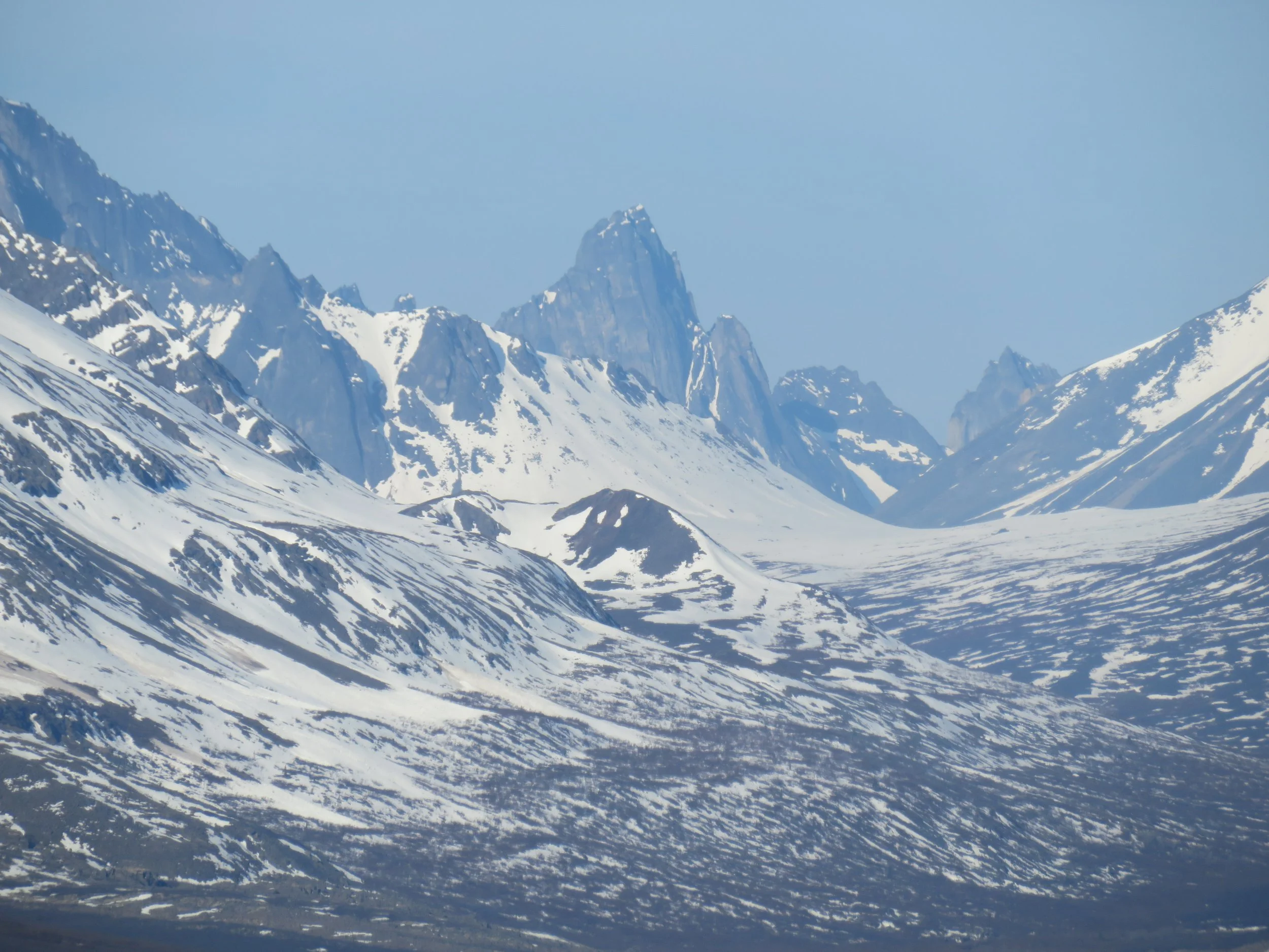
We struck out early in the morning with all our sodden gear. Just a mile or so up the Dempster is the Goldensides Trail. Part of it was closed due to deep mud and landslide conditions, but we were able to walk a mile or so up the steep hill for excellent panoramic views of riverside and valley below and the Tombstone Mountains, for which the campground was named, ~ 12 miles in the distance.
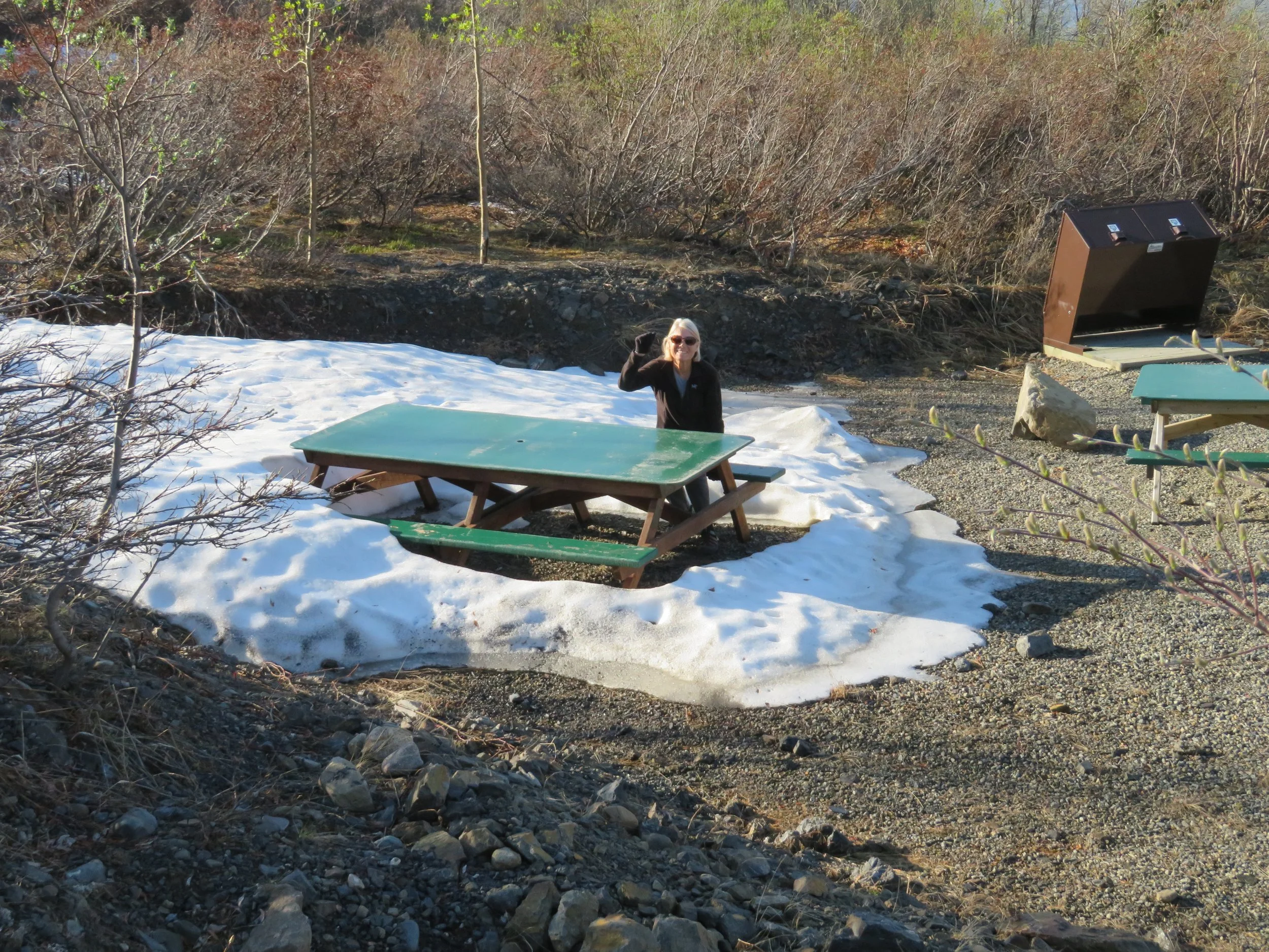
Arctic picnics give new meaning to having ‘a cold lunch’.
We continued on up the highway and the road surface improved a bit or we were getting more acclimated to the tossing and tumbling. We averaged about 40 mph, but a few unexpected washout areas, some filled deep with new gravel and very rough, had us crawling through at 5mph.
We stopped at Two Moose Lake known particularly for birds and otters… and sometimes a moose or two. No moose, a couple of northern shovelers and what we thought was an otter swimming along. We watched it swim across the lake, but when it arrived at the shore and we got a better look, we discovered it was a muskrat.
We stopped again at the Engineer Creek Campground for a pee break and some lunch. The mosquitoes were thick and vicious and it was all we could do to get to the vault toilets to do our business. We reluctantly ate in the front seat to avoid being lunch for the mosquitoes and were on our way without doing much exploring.
The day warmed significantly. When we left this morning, the temp inside Blanche was 48F. The outside temp now was 75F and we turned on the A/C.
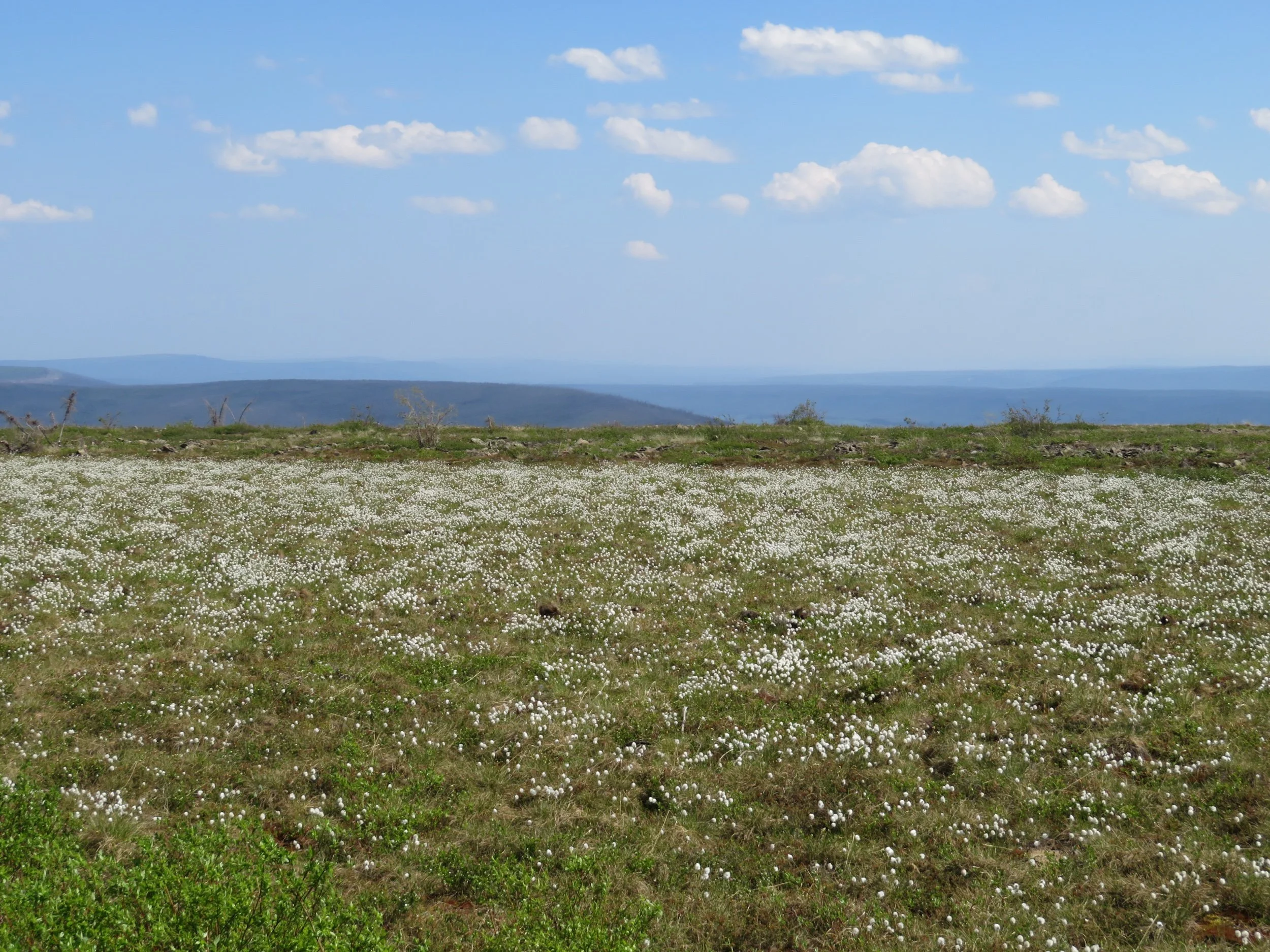
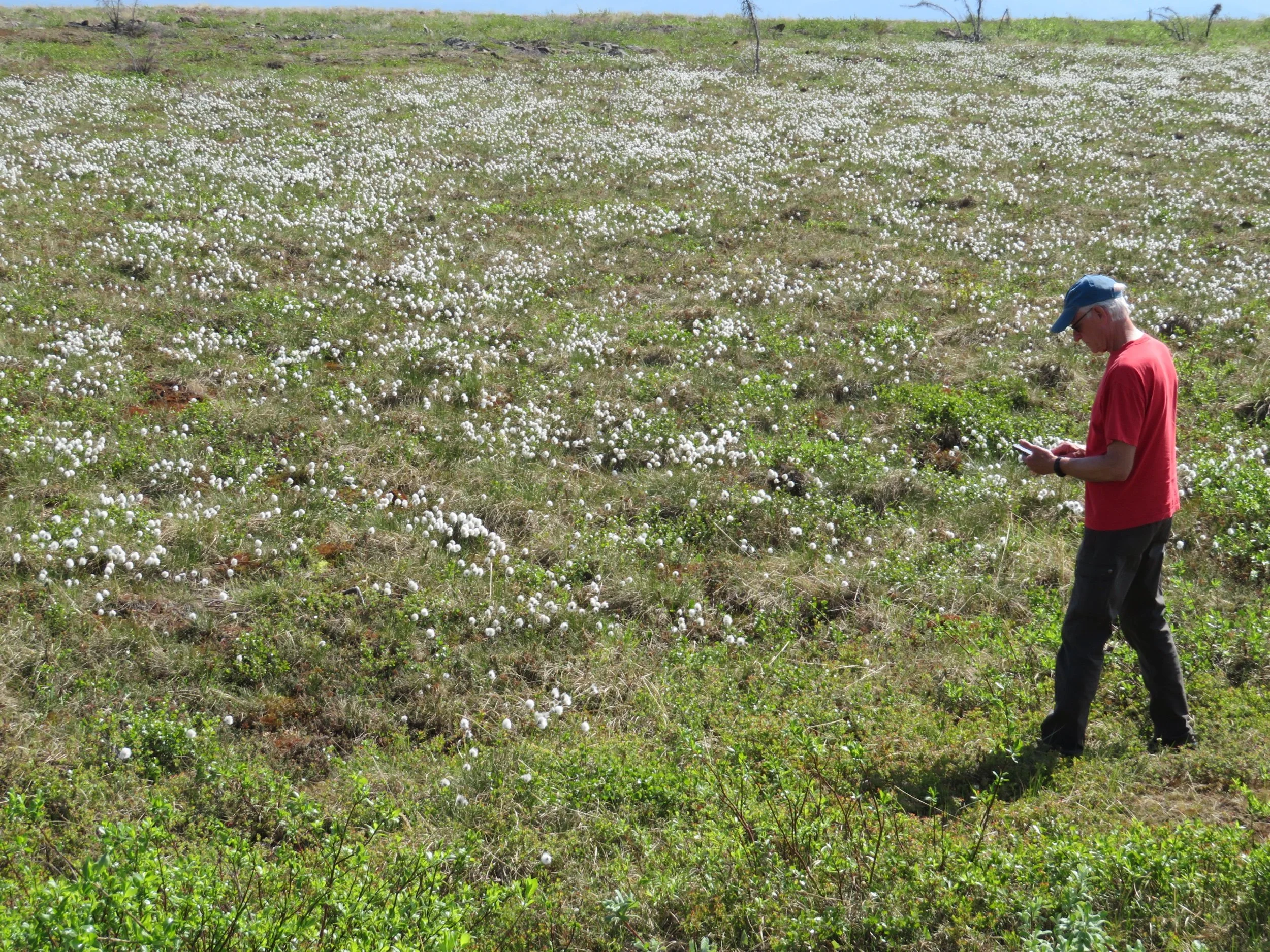
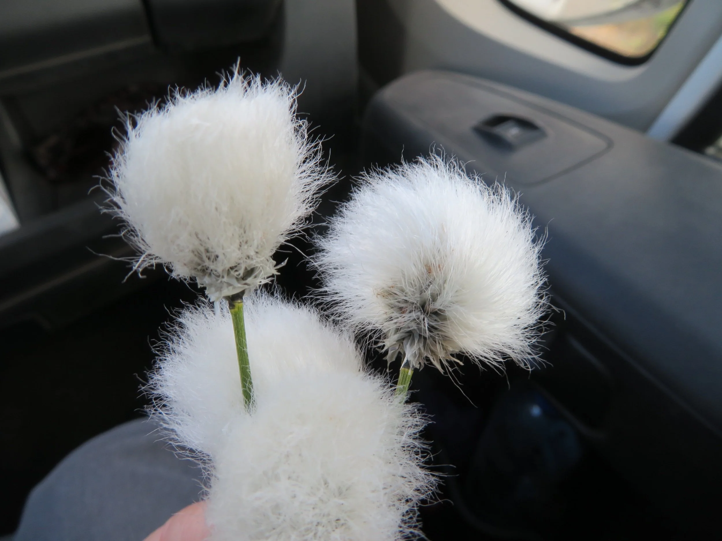
In some areas, the wildflowers were prolific… Arctic lupine, yellow arnica, white avens and the ubiquitous dandelion. Boggy fields of tawny cotton grass looked like snow. I couldn’t resist stopping to touch one of these fluffy-looking plants and they feel like they look… soft, almost like fur. Just click on the thumbnails to enlarge them.
We arrived at Eagle Plains, our destination for the day, a few minutes after Helen and Gerald did. We were all pleasantly surprised that the camping sites there were a modest $36.75 with electric. The ‘campground’ was a gravel parking lot with a few 15amp duplex outlets mounted on fence posts, but in the middle of nowhere, that seemed like a bargain. The gasoline, however, at $2.15/liter was not a bargain. Bargain or not, we did have to fill up in order to make it to Inuvik the next day.
Eagle Plains has a motel, gas and service station, and a restaurant with a bar. After getting situated, we learned the restaurant was closed, but the bar was serving the full menu. We headed to the bar. A bottle or can of Yukon Brewing Red, Gold or Lager was $9.25. We ordered one each anyway. Helen and Gerald joined us for dinner. They were very good company. We enjoyed a very fun evening… lots of stories, discussion and laughter… and the food was pretty good, too.
When we started to crawl into bed, the comforter greeted us with clouds of dust from the day’s excursion. Bedclothes, blankets, pillows, everything came out and were thoroughly shaken. A coating of dust covered every square inch inside and outside, Blanche was an absolutely filthy, dust-and-grime-covered, brown van. We decided to call her Dirty Gerty until she got a bath.
Dust is definitely a problem driving the Dempster. Dust clouds totally obscure the road at times. Courteous folks slow down when passing an oncoming car, minimizing the effect. Others, however, whiz on by and the after effects are significant. Inside, a fine layer of dust has settled on everything… every single surface flat or otherwise. There is no area inside or out left unscathed. Everything has a dull, matte brown finish including my hair though I just washed it. Our eyes continually water. Our noses constantly run. Everything feels gritty.
The sun does not set here any more, but the morning (based only on the clock) was overcast and gray as we set out on the Dempster once again. Before leaving, we had taken an extra blanket and a tarp and covered our bed in the hopes that we’d alleviate some of the dust cloud when we climbed into bed at night.
Our goal for the day was Inuvik (in-OO-vik) in the Northwest Territories, a 229-mile drive from Eagle Plains across two river ferries… a hundred miles south of the Arctic Ocean. The land here is flat with low, spindly trees, but up ahead we could see the Richardson Mountains, snow still thick in the clefts and ravines.
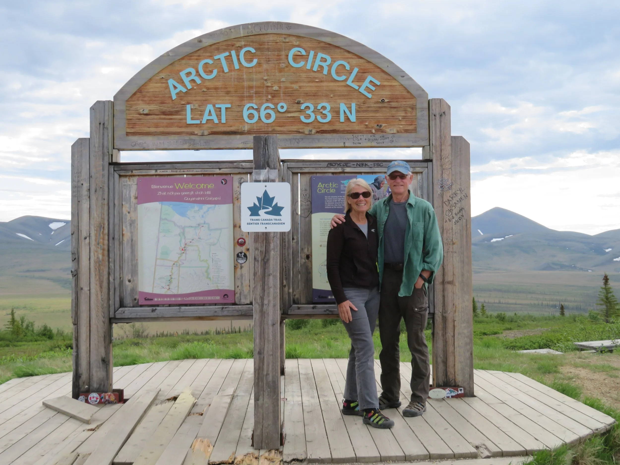
The road climbed and descended, up and down constantly following the contour of the land. We crossed innumerable small bridges and culverts over creeks and fast-flowing streams. A few dry creek beds were still lined in snow and ice. Our first stop was the Arctic Circle and our friends were there to greet us. In fact, Gerald took our picture in front of the iconic sign. We said our goodbyes. They were heading back now, so we wouldn’t see them again. We continued on.
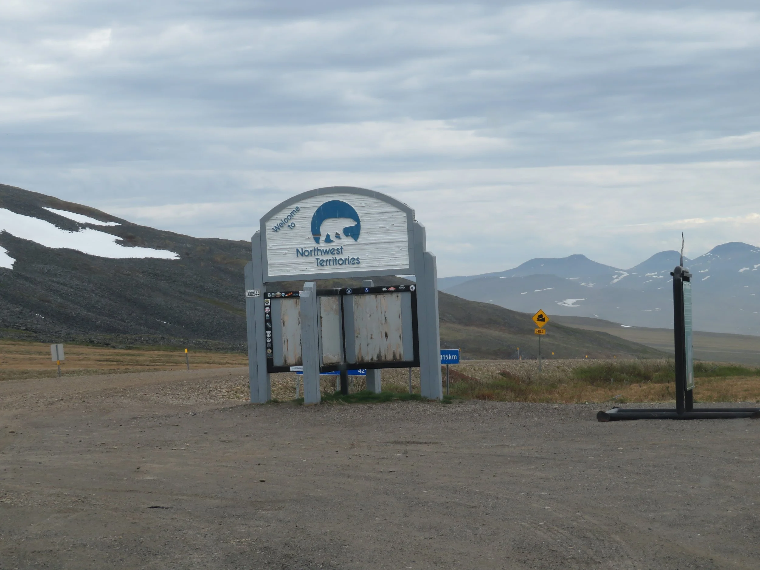
We crossed into the Northwest Territories without much fanfare. There is a sign, but the photos are gone from the info kiosk. We were also crossing into the Mountain Time Zone, losing an hour, but with 24-hour sunlight now, it made little difference. Our internal clocks were already screwed up and an hour time change wouldn’t be noticed.
Craig, a Vancouverite we’d seen several times along our route, told us he’d just seen a grizzly in a meadow a short distance behind us. We reversed direction and sure enough, we spotted our first grizzly, clomping through the high grass in the meadow below us and intermittently chowing down on something tasty as he clomped.
As we continued up the road, we were struck by the beauty of the place as well as its stark barrenness. There are no towns or settlements for miles in any direction. When we stop for a moment, the quiet is absolute, broken sometimes by a chirp of an unseen bird or the honk of geese or tundra swans flying overhead. Ground squirrels and rabbits skitter across the road with abandon and manage to avoid our tires. Butterburr and lupine continue to supply splotches of color along the roadside. From a hill crest, we could just make out the Peel River in the distance… our first river ferry crossing.
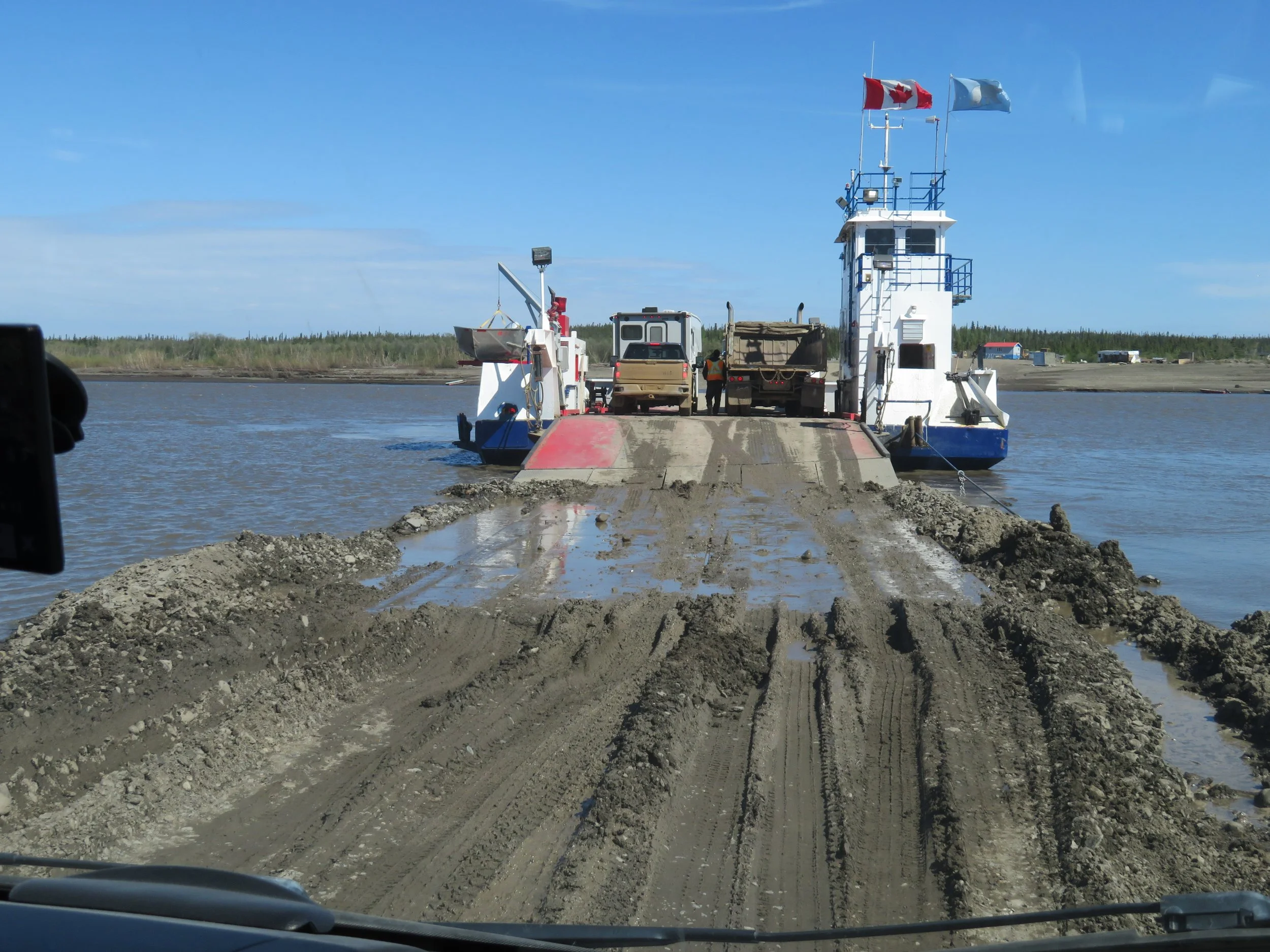
The Peel River Ferry is a free ferry. It just re-opened for the season a few days ago following the spring ice break-up. During the winter, travelers cross the river on an ice bridge. During the in-between seasons for a month or more, there is no crossing other than private boat perhaps.
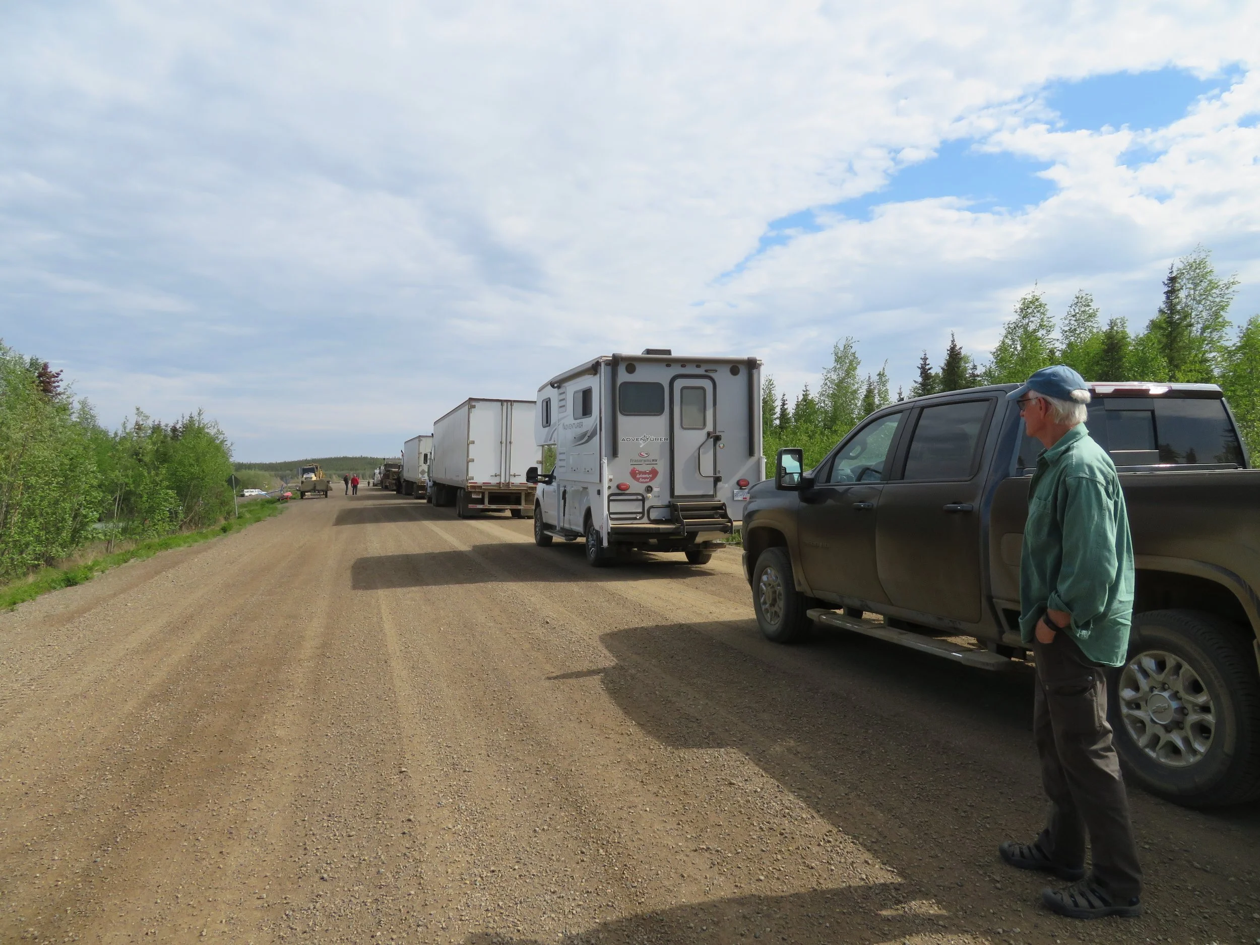
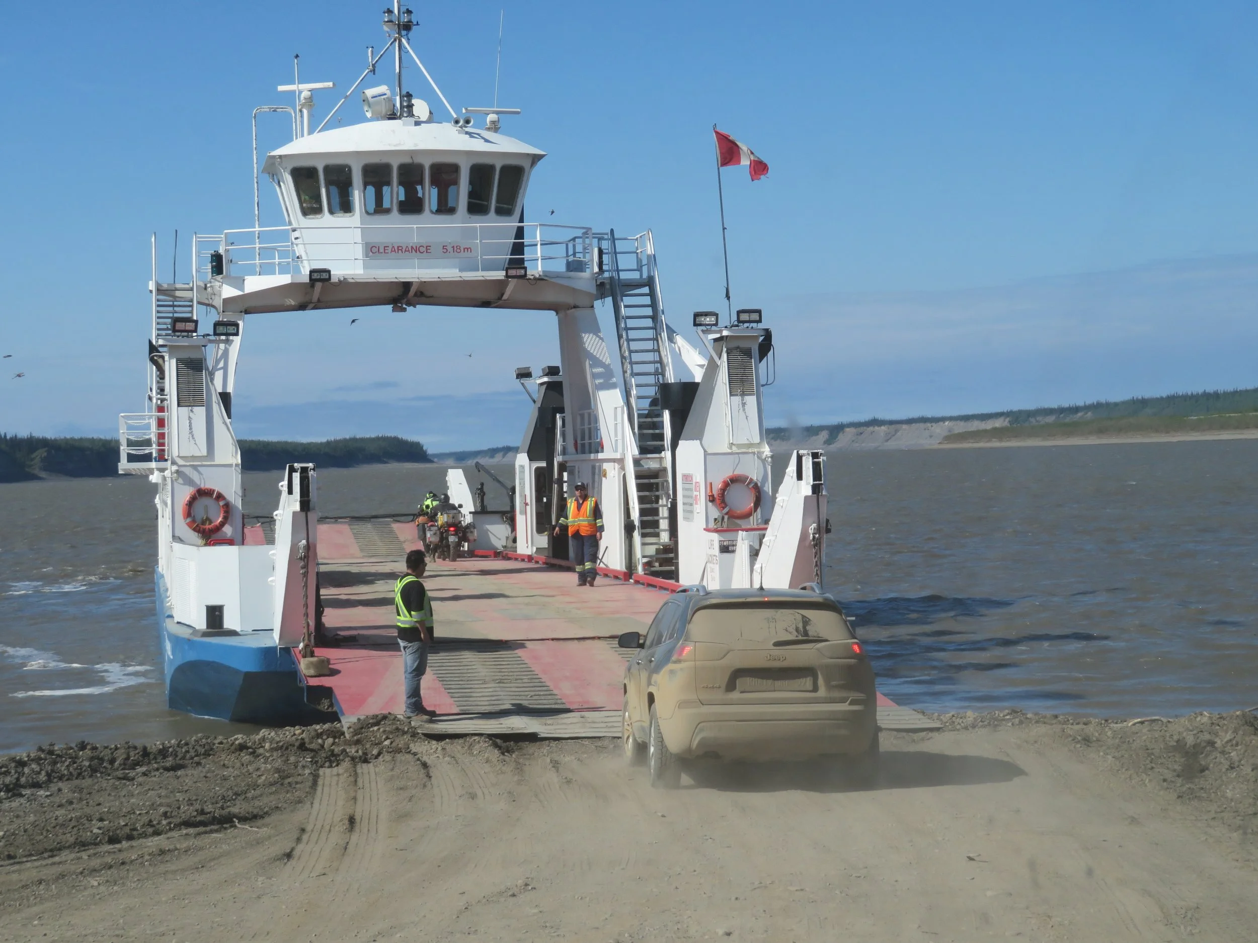
As we approached the long queue waiting for the ferry we were amused by our GPS advising us to “Board the ferry”. The CF Abraham Francis is a cable ferry and can only accommodate four auto/van size vehicles at a time… or one semi. There were several semis in the queue in front of us. As we watched one of the semis load, the wind and current had the ferry yawing back and forth. We figured it would be a long wait and when we boarded two hours later, we were happy to finally be getting to the other side of the river.
It’s a double-ended ferry so drive on-drive off. The entrance to the ferry, however, was a foot of deep, thick mud. Blanche plowed through, but she struggled a bit as did most of the vehicles we saw.
We took a quick drive through the tiny hamlet of Fort McPherson primarily to access cell coverage. The town has several wooden walkways along its main street which probably indicates muddy conditions throughout the year. Quads (ATVs) were the vehicle of choice in town with snowmobiles, awaiting next season’s snow, now parked conveniently next to nearly every house.
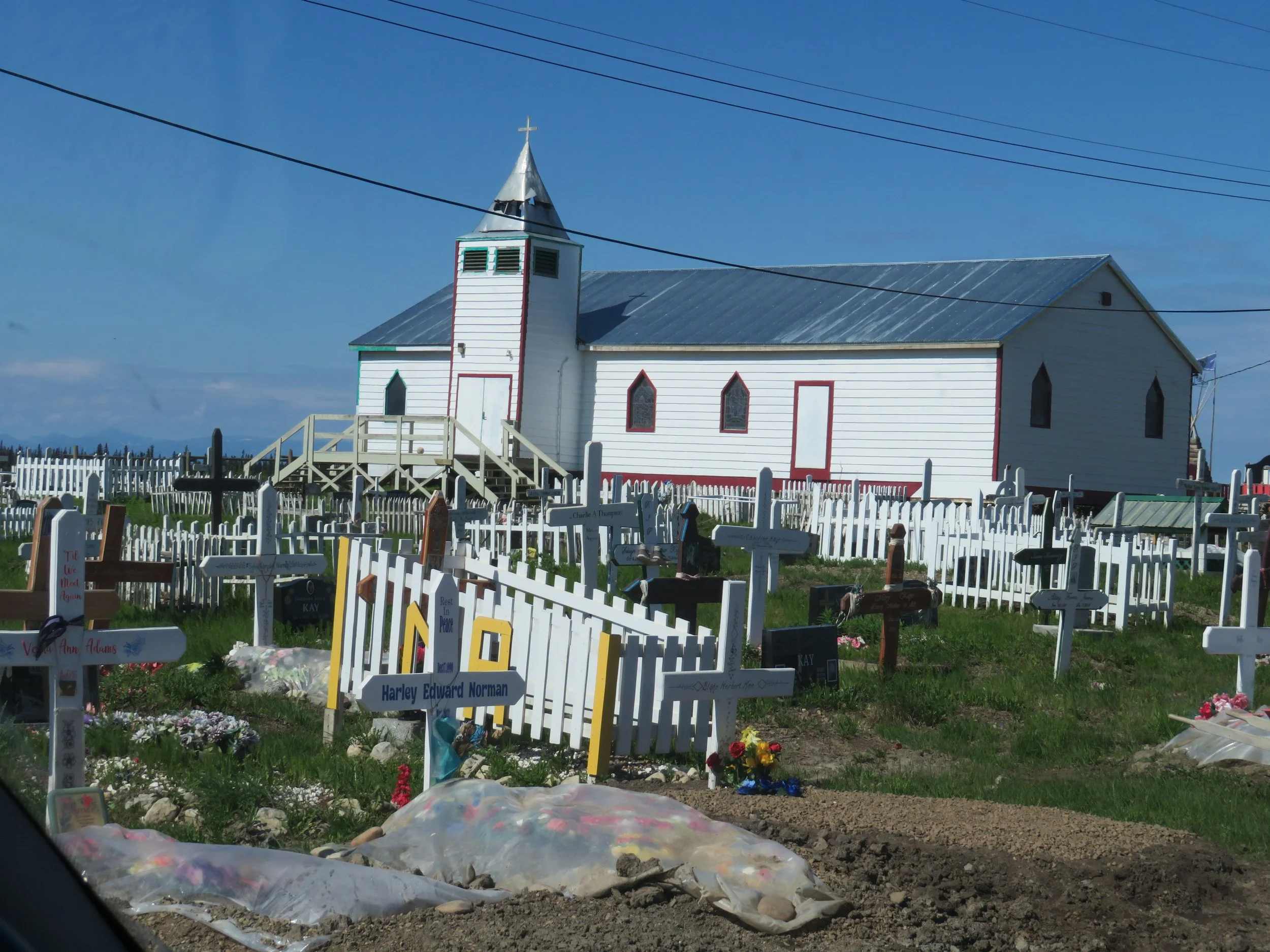
We drove by the Anglican Church and cemetery where we saw the graves of the Lost Patrol, a group of RCMPs (Royal Canadian Mounties) that perished in the harsh winter during a routine patrol.
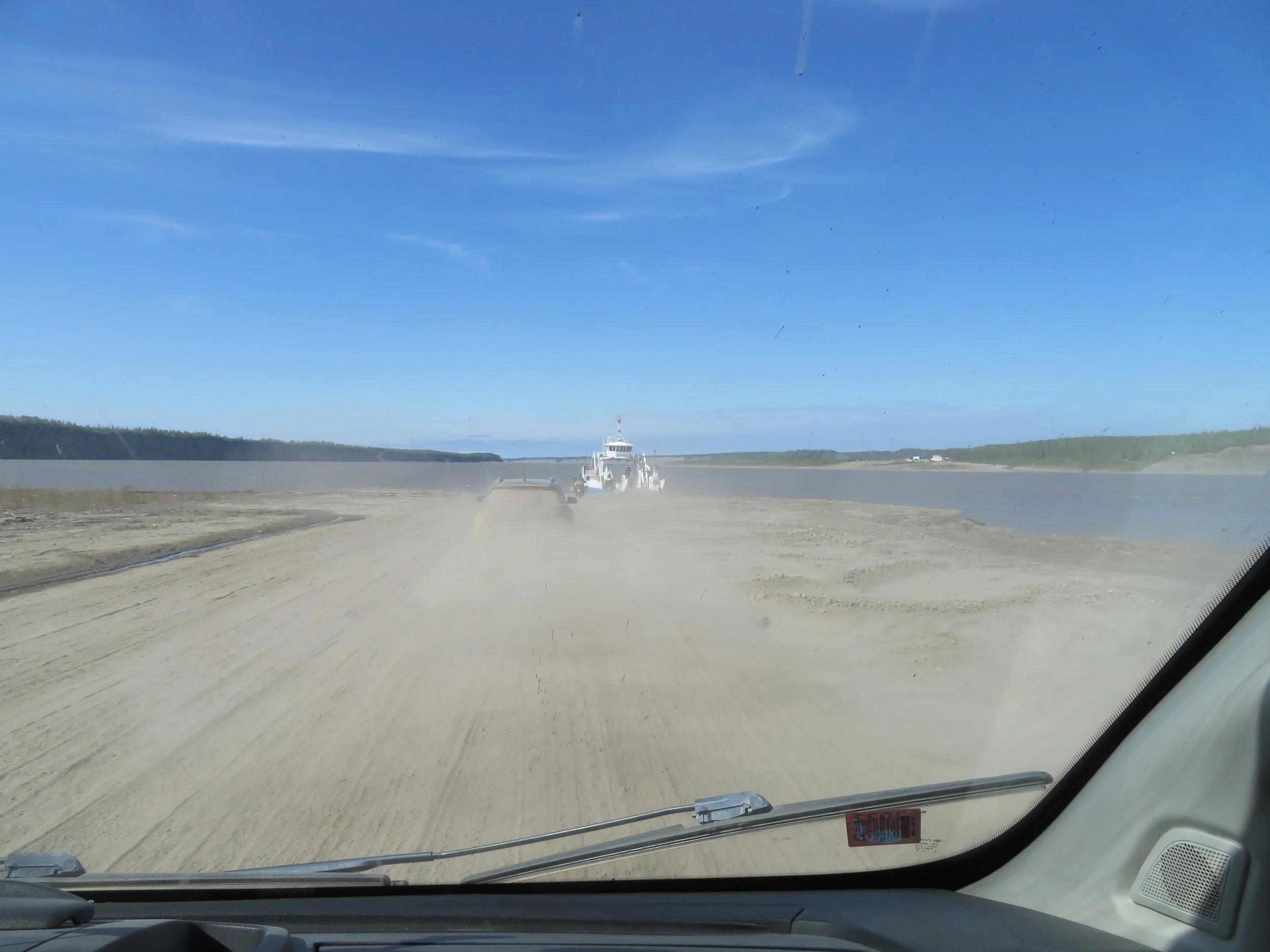
About 40 miles further, we came to the Mackenzie River ferry crossing. The MV Louis Cardinal is a larger motorized vessel accommodating several vehicles at a time. Our wait time was short and the crossing uneventful… the best kind. The loading,however, was a bit dusty.
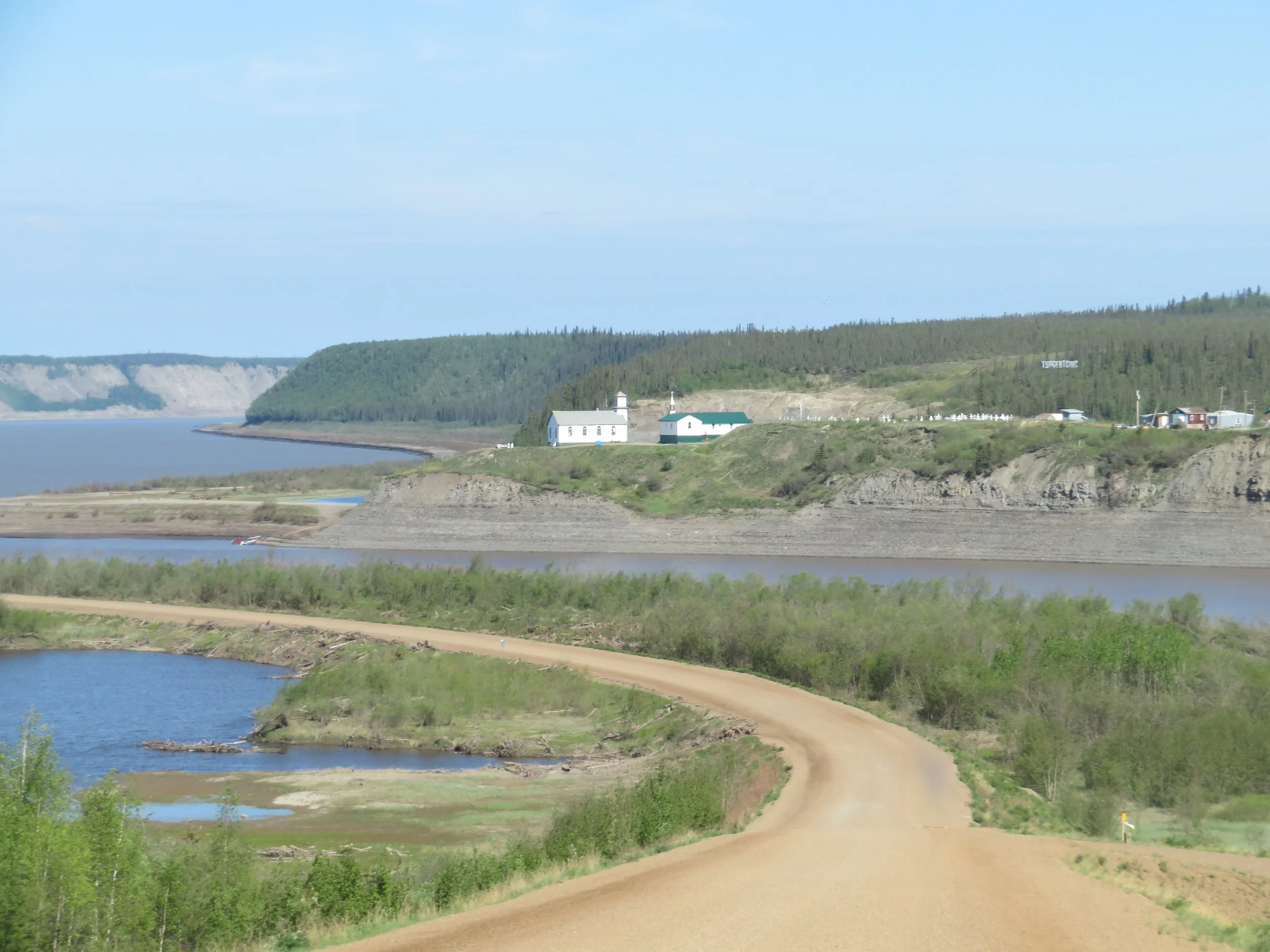
High up on the hill above the ferry landing was the small picturesque Gwichya Gwich’in community of Tsiigehtchic (no idea whatsoever how to pronounce this) also accessible by the ferry on demand.
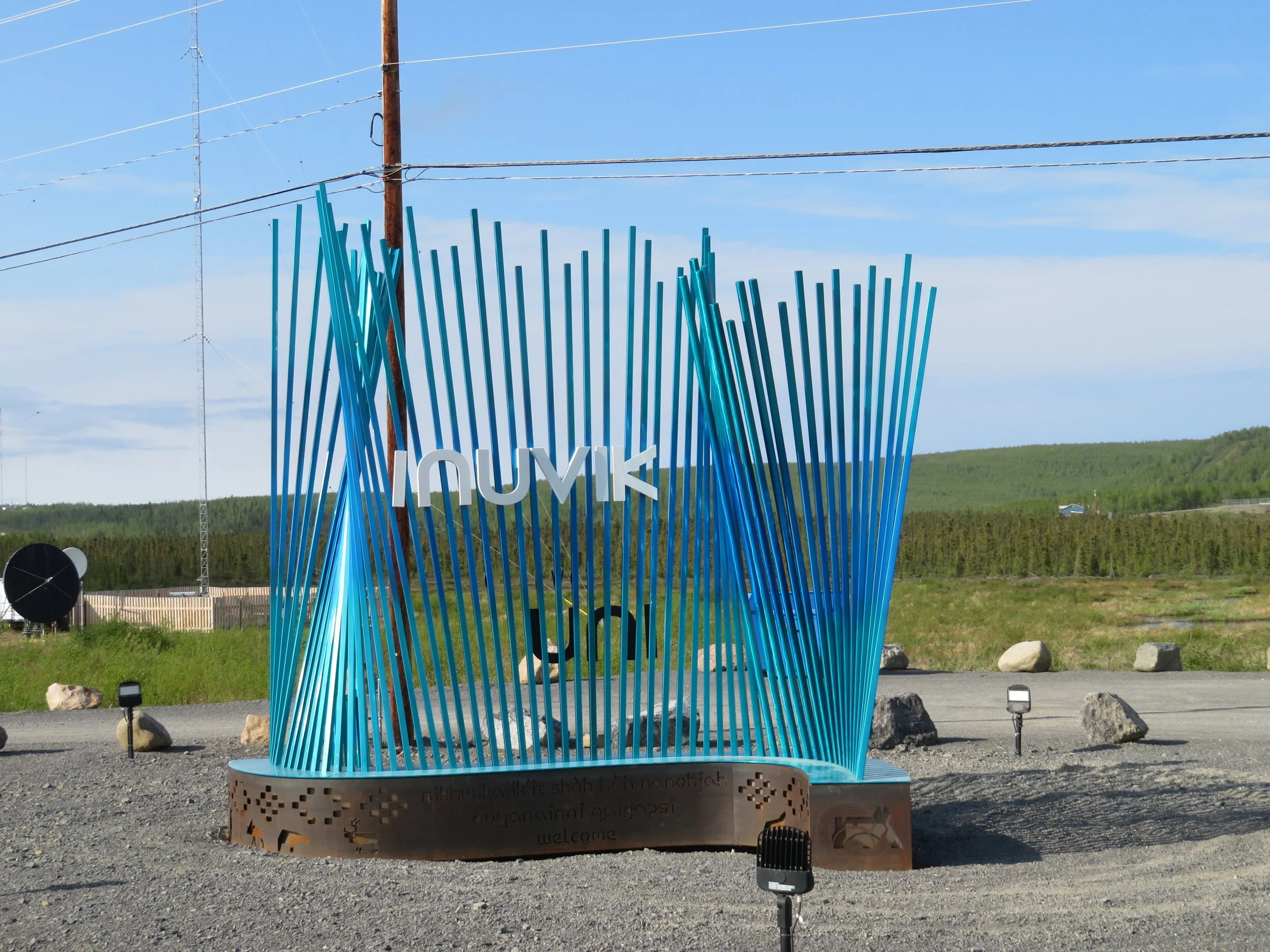
Another 80 miles and as we neared Inuvik, we counted down the miles.. Just after entering the city limits, the road turned to pavement. What a thrill! The Inuvik Gateway sign welcomed us to town.
Next time, we’ll be exploring Inuvik then up the ITH (Inuvik-Tuktoyaktuk Highway) to the end of the road. Care to dip your toes in the Arctic Ocean? Bring your beach chair and a towel.


