

The Sidewinder on Route 66
/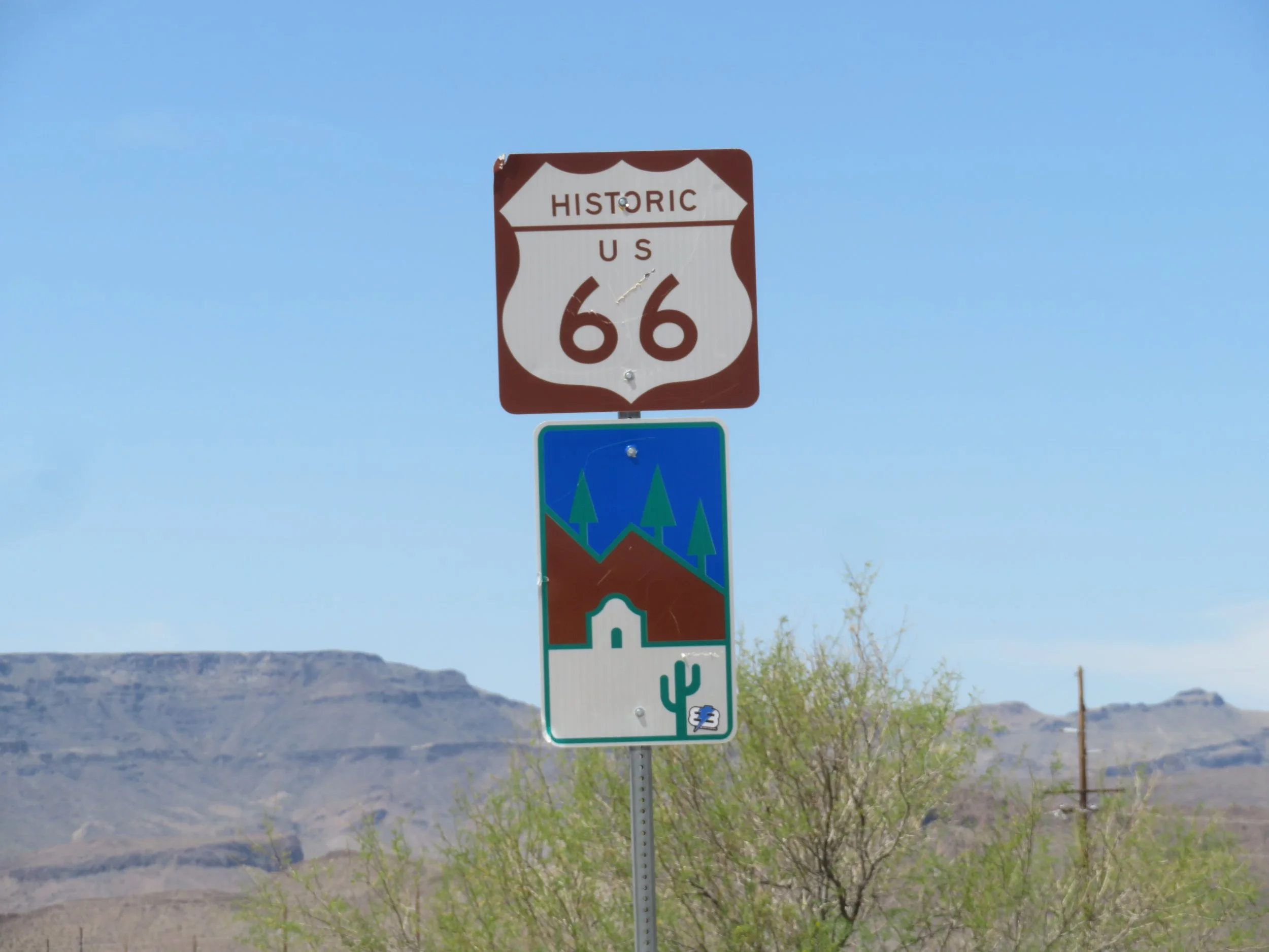
We were reminded as we visited Oatman, AZ a few weeks ago, whose Main Street is actually US Route 66, that driving the entire Mother Road from Pier to Pier, Chicago’s Navy Pier to California’s Santa Monica Pier, has been on our bucket list for years. We’ve done bits and pieces of it, which is all that’s left of the original highway, but never driven the whole thing in one go.
Route 66 is Oatman’s Main drag
It was John Steinbeck in his novel, The Grapes of Wrath, who first coined the term ‘Mother Road’ when referring to the iconic route. Constructed in the 1920-30s as one of the first transcontinental highways, the road was a well-known and well-traveled route during the Depression and ‘Dust Bowl’ years for thousands of displaced Americans seeking a new life further West.
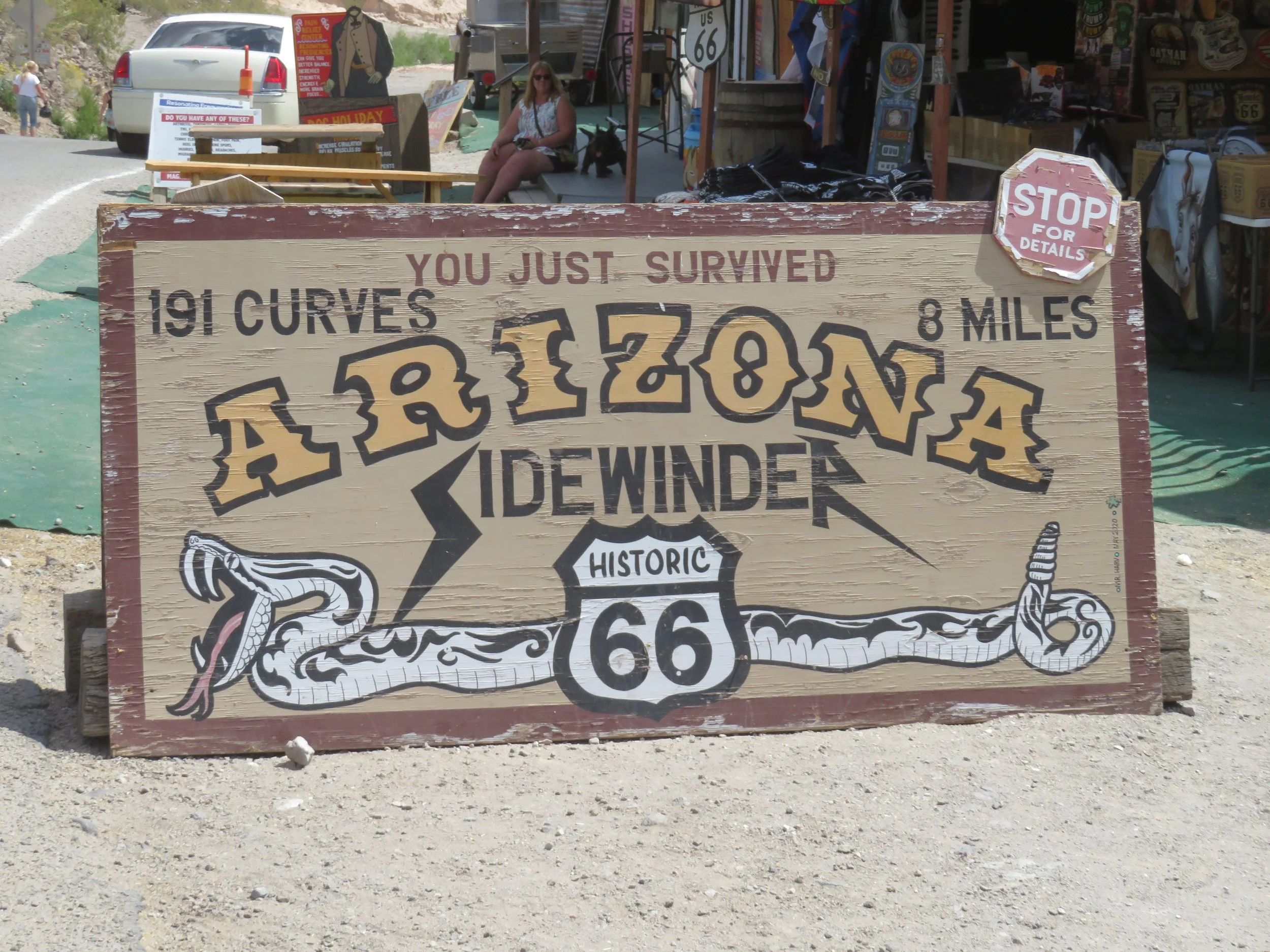
This sign in Oatman piqued our interest in driving the Sidewinder
One sign in particular that we saw in Oatman piqued our interest: The Sidewinder. It’s an 8-mile section of old Route 66 with an incredible 191 curves and no guardrails to speak of. Once considered one of the most challenging stretches for "flatland" travelers in the 1930's, the Sidewinder’s hairpin curves and steep grades over Sitgreaves Pass, which characterize Old Route 66 as it makes its way over the Black Mountains of western Arizona, were difficult and treacherous for the old Model A’s and T’s inching their way across the mountains and harsh desert terrain. Today, the route, though narrow, is 2-lanes, paved and considered a scenic back country byway, easily traversed by most vehicles.

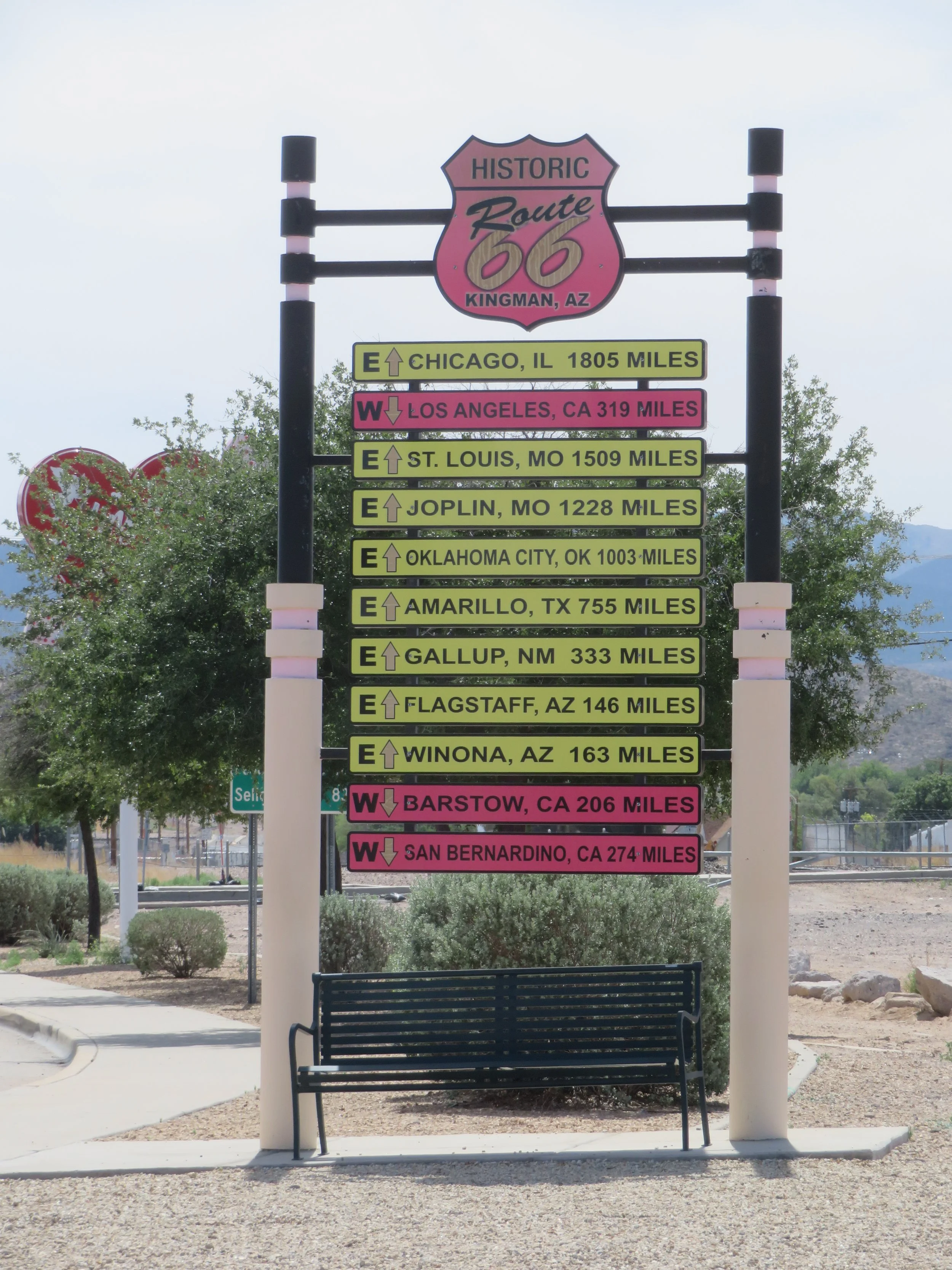
The Sidewinder begins in Cool Springs and ends in Oatman, but the easiest access for us is via Kingman which bills itself as ‘the heart of Route 66”. About a 90-minute drive from home, we left Las Vegas early and arrived at the Kingman Visitor Center in time for breakfast.
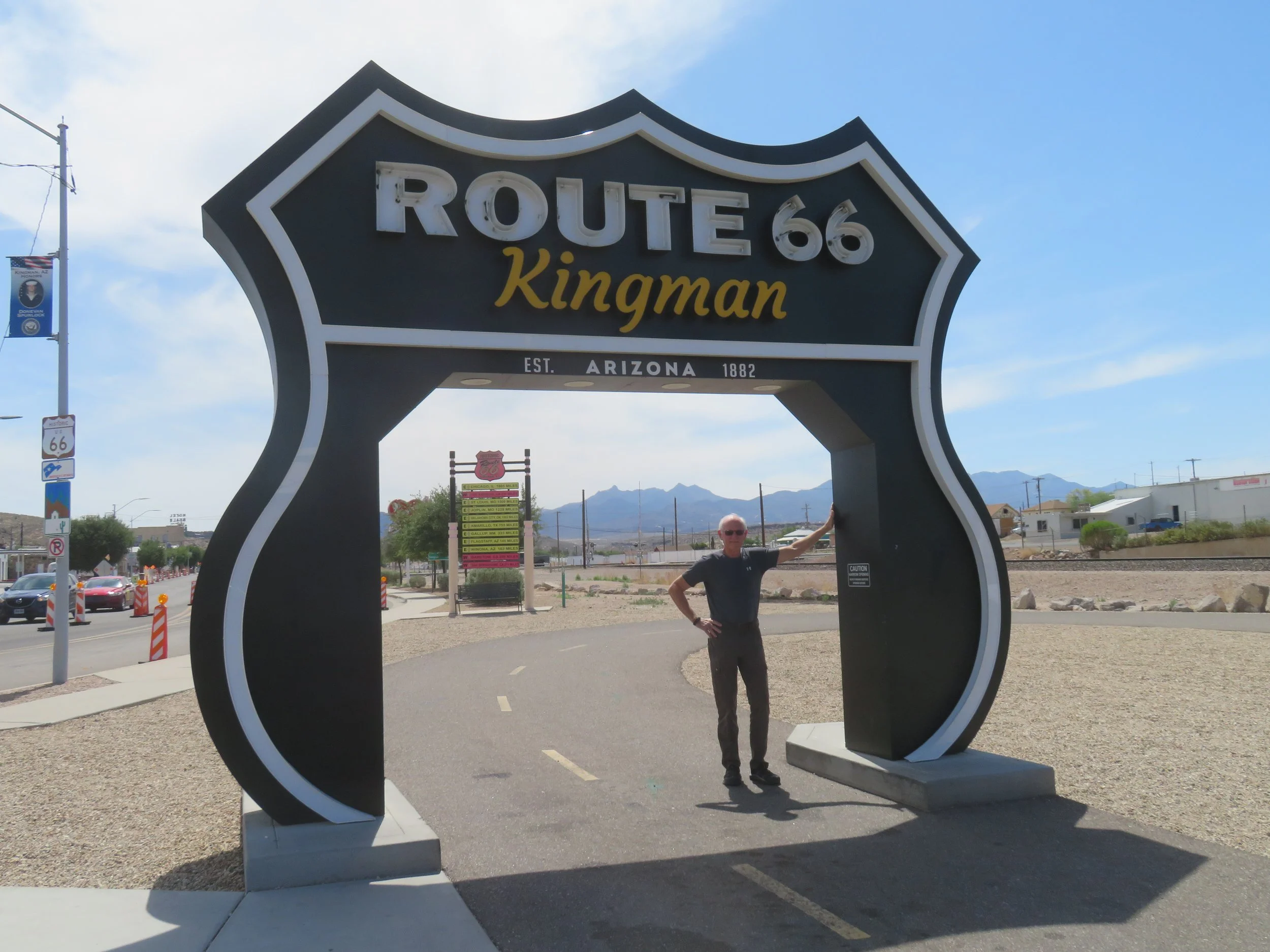
Blanche didn’t fit beneath the Kingman arch, but David did!
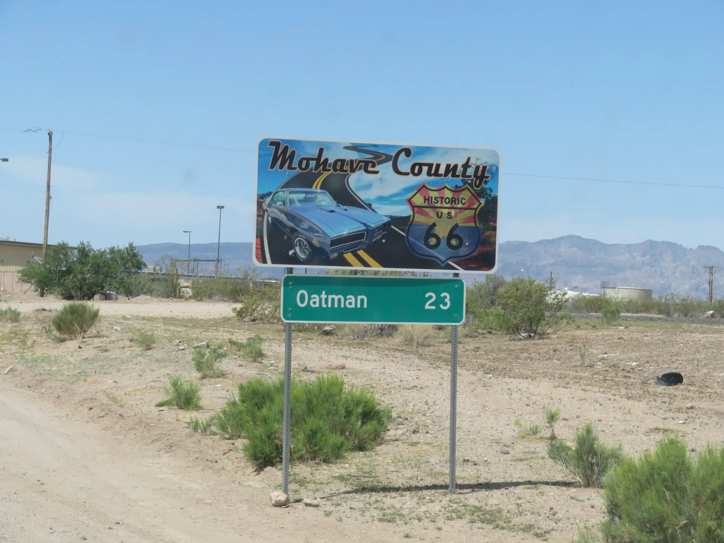
Only 28 Miles (46 KM) to Oatman
We picked up old Route 66, aka the Oatman Highway, a couple of blocks west of the Visitor Center and set out for Oatman only 28 miles west.
Back country road, US 66 to Oatman, Arizona
The road starts out flat and straight, but we could see the Black Mountains in the distance ahead of us. Some folks along the route have a good sense of humor.
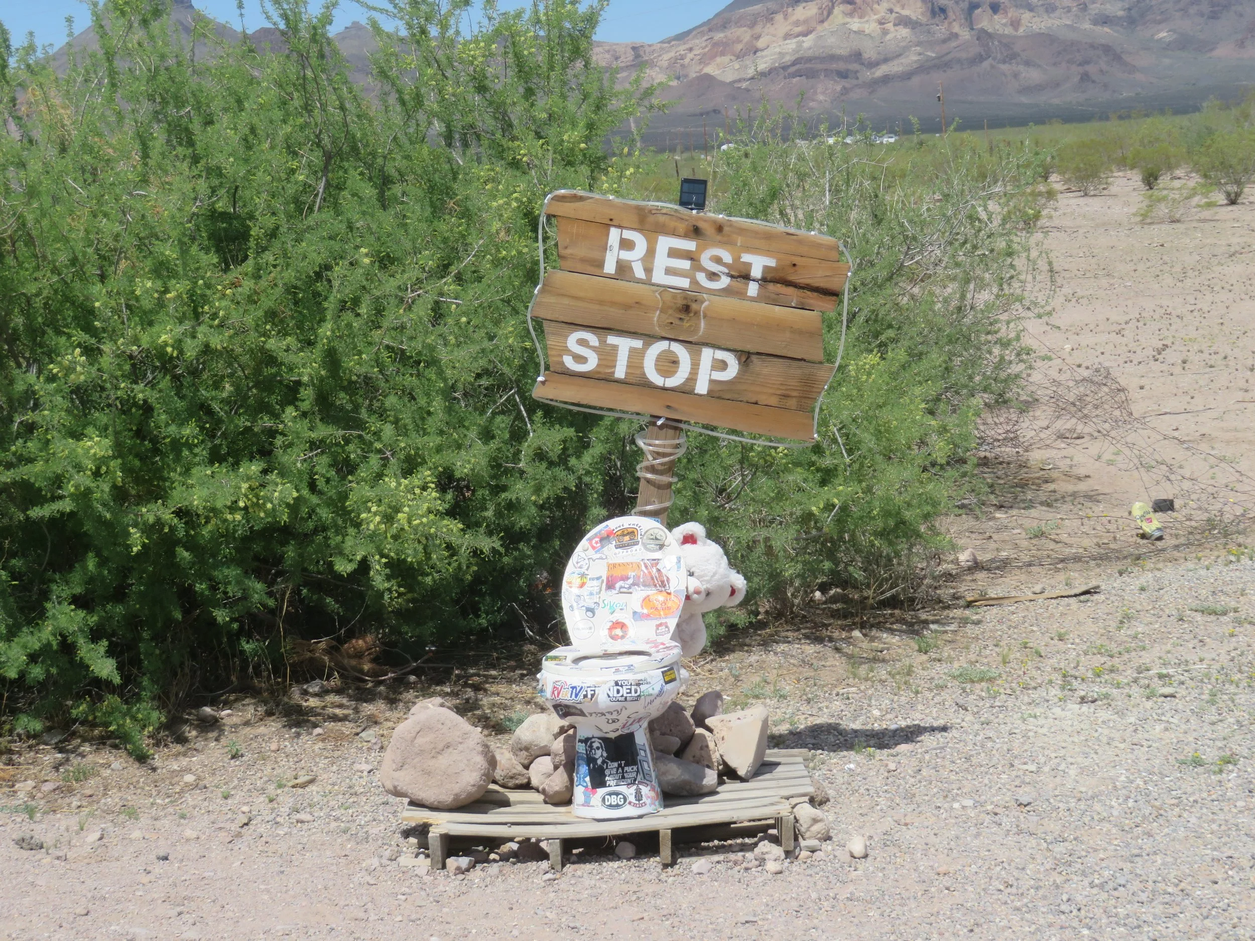
Rest stop along the Sidewinder. Luckily, we didn’t have to go.
We stopped at a BLM-maintained informational kiosk at a roadside turnoff just before we reached Cool Springs. Several sun-damaged posters provided information about the route. We met Carlton there, a bare-chested, tan-bellied Alaskan transplant sitting in the shade of the kiosk. He’s a full-time traveler, living in his car and was quite the interesting, garrulous character, but photo averse.
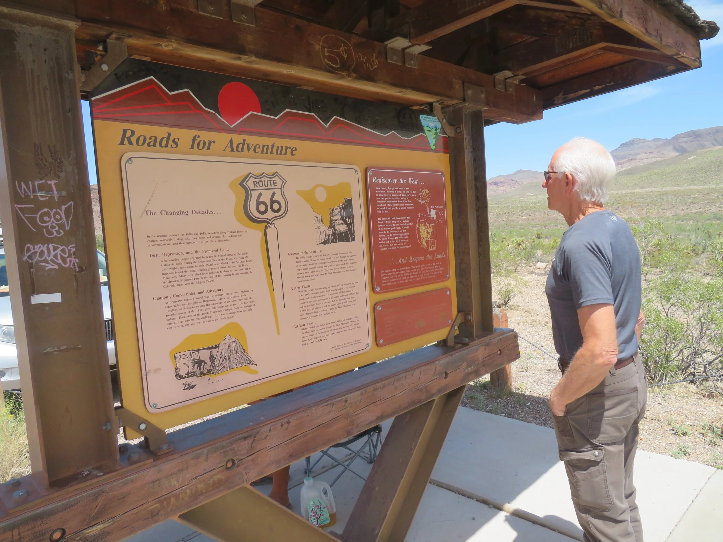
BLM Kiosk provided lots of information about the route and its history
Another couple of miles further and we arrived at Cool Springs, a natural water source for ancient Native American tribes and travelers and subsequently a gas and water stop for motorists on Route 66. It’s now a souvenir shop and also stocks cold drinks and snacks. We browsed and picked up a couple requisite Sidewinder postcards. Though advertised, they offered no gas, no cabins.
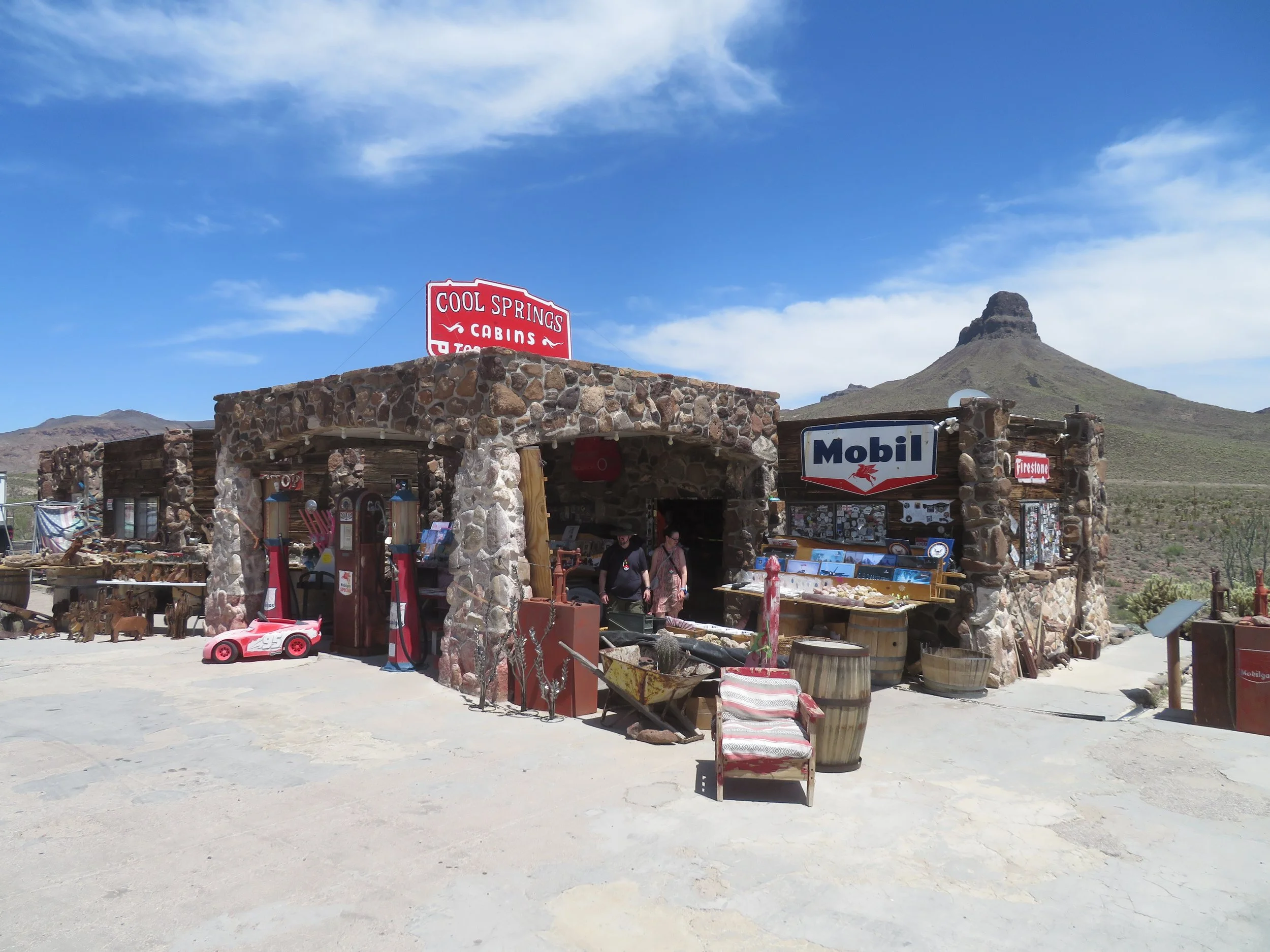
Cool Springs Station offered lots of souvenirs, but no gas and no cabins
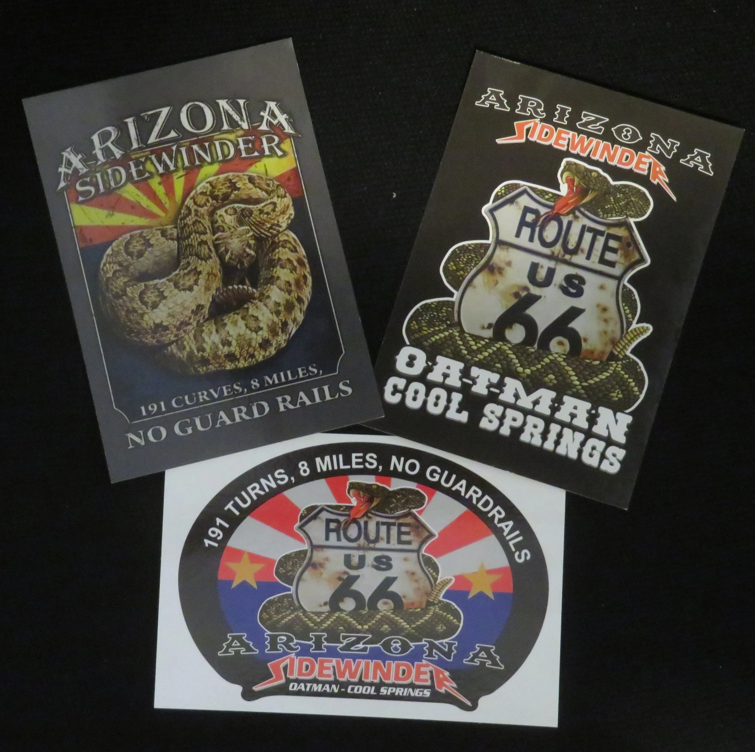
All sorts of Sidewinder postcards, patches, signs, bumper stickers, etc were on offer at the Cool Springs Station
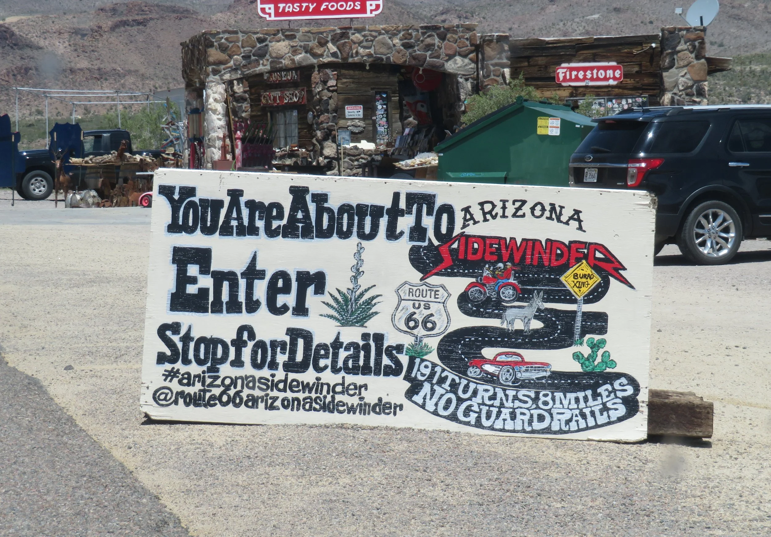
This sign just beckons you to take an adventure
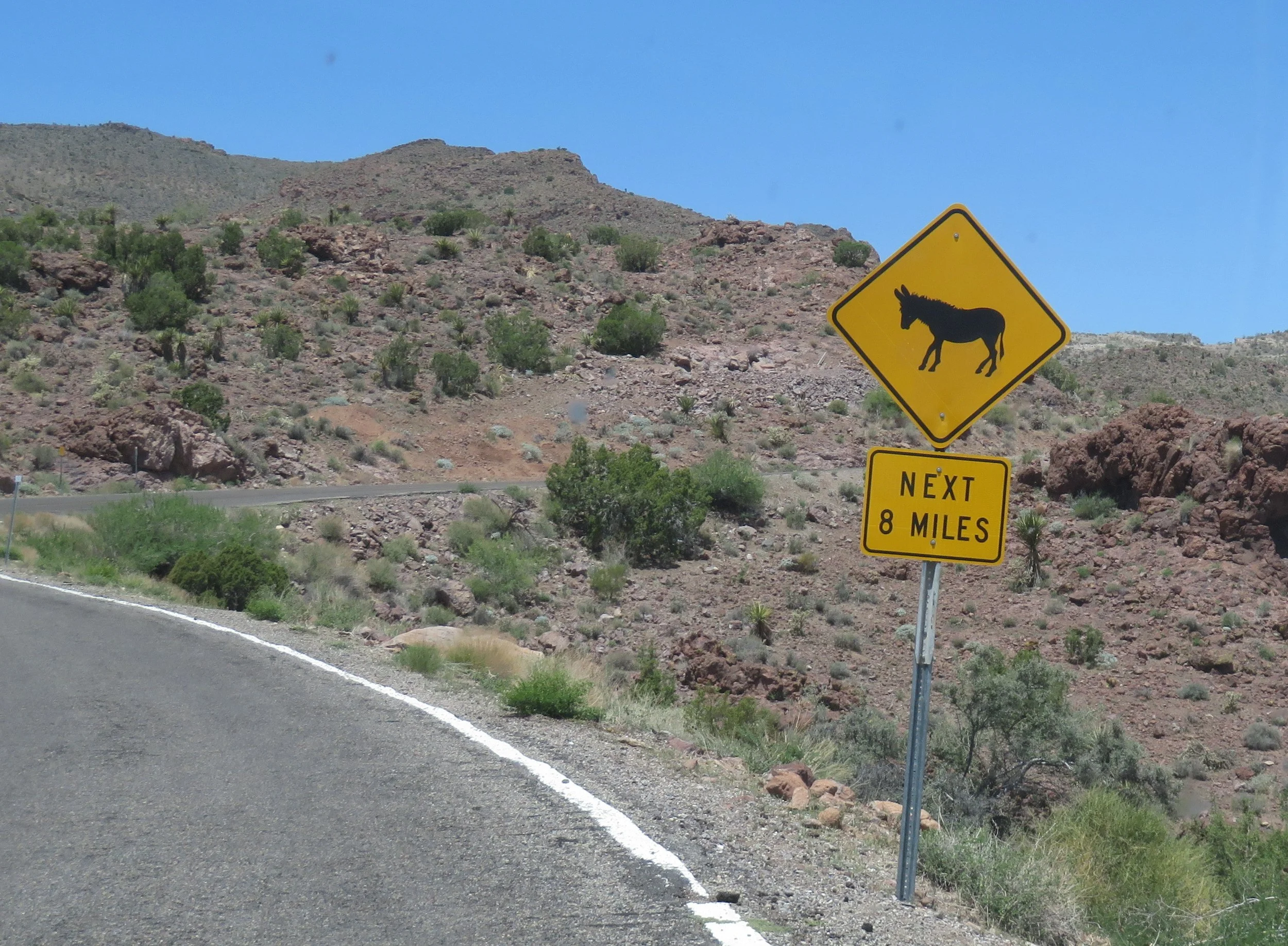
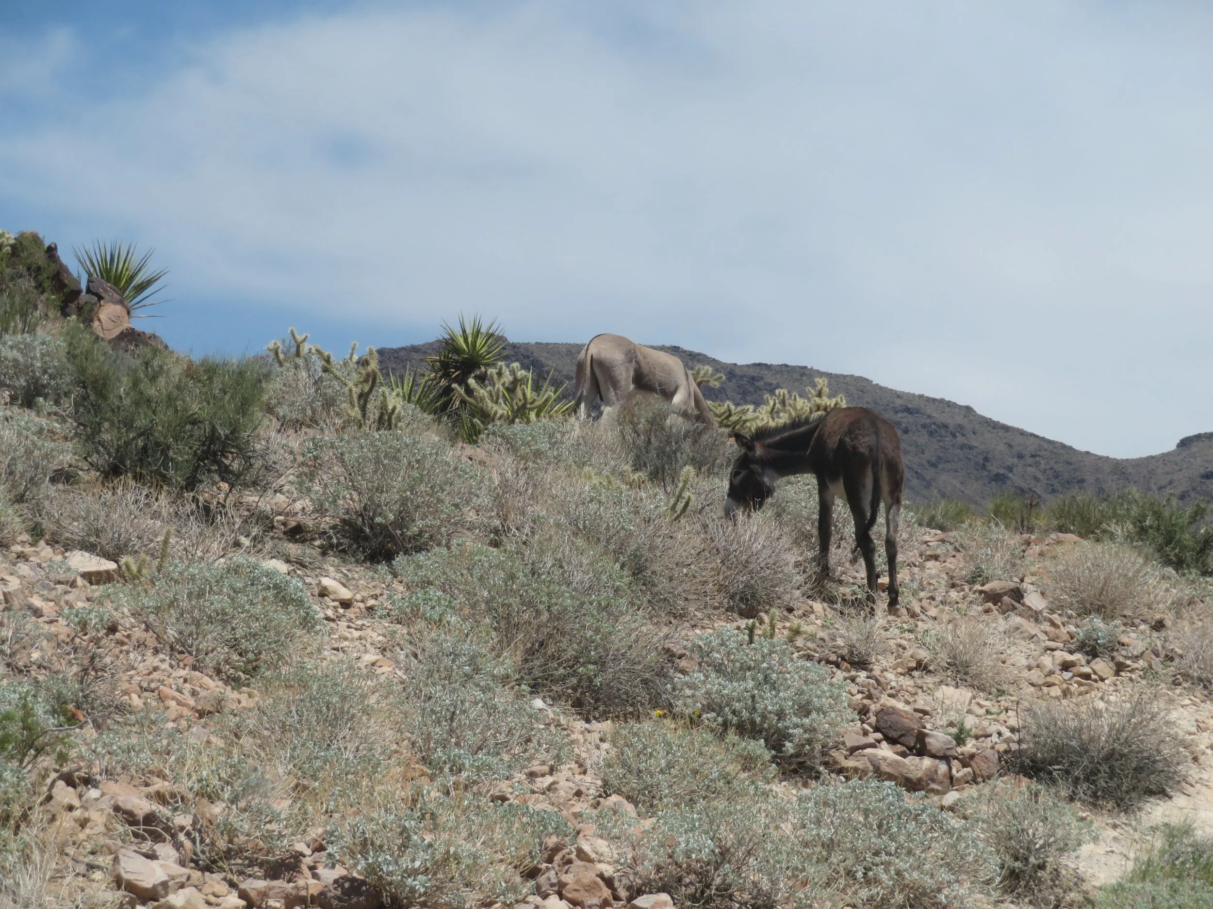
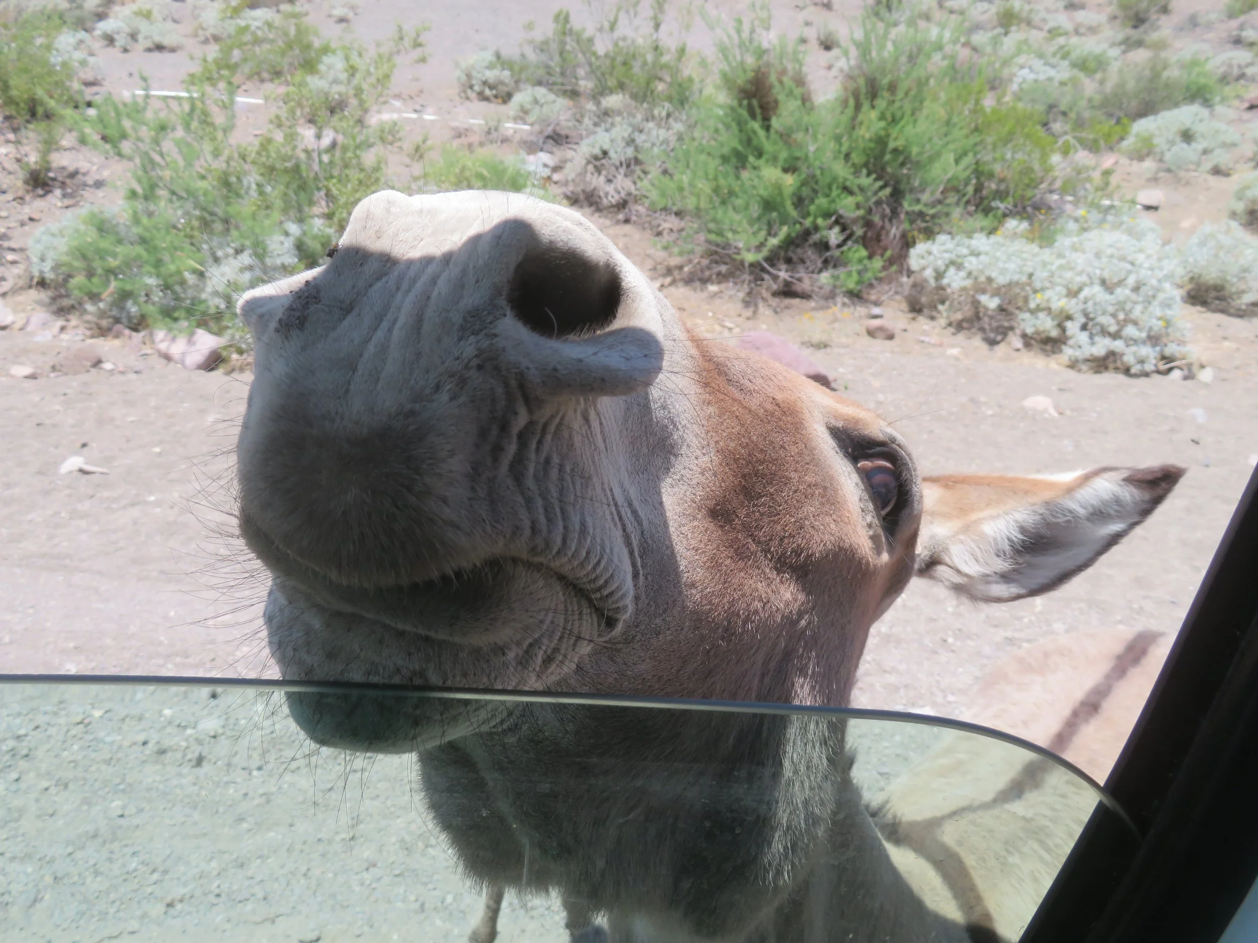
Shortly after leaving Cool Spring Station, road signs for wild burros appeared and, as if on cue, we spotted a couple on a hillside.
Stonework from the 1930s works programs was evident as we wended our way up to the top of Sitgreaves Pass, negotiating tight S curves and 180-degree switchbacks, one after another. We didn’t count, but I’m sure there were at least 191.
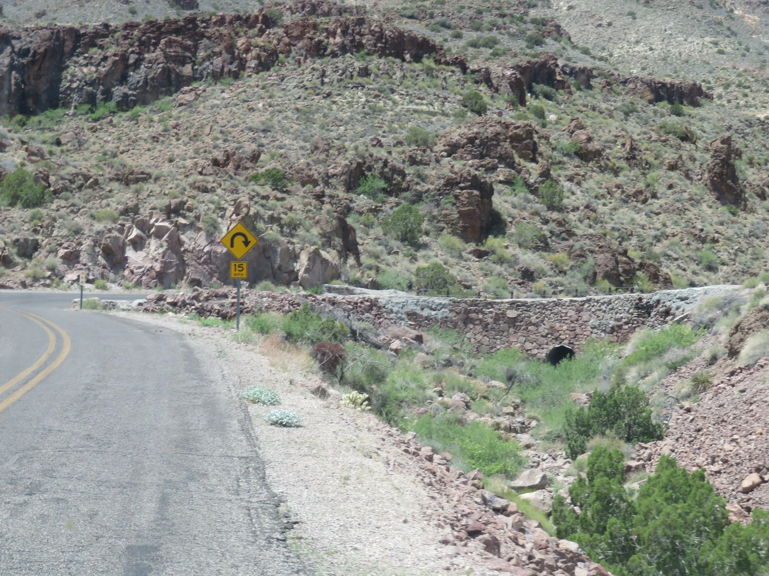
WPA stoneworks from the 1930s is still evident along the Sidewinder
A pull-off at the top of Sitgreaves Pass offered a grand view of the switchbacks below.
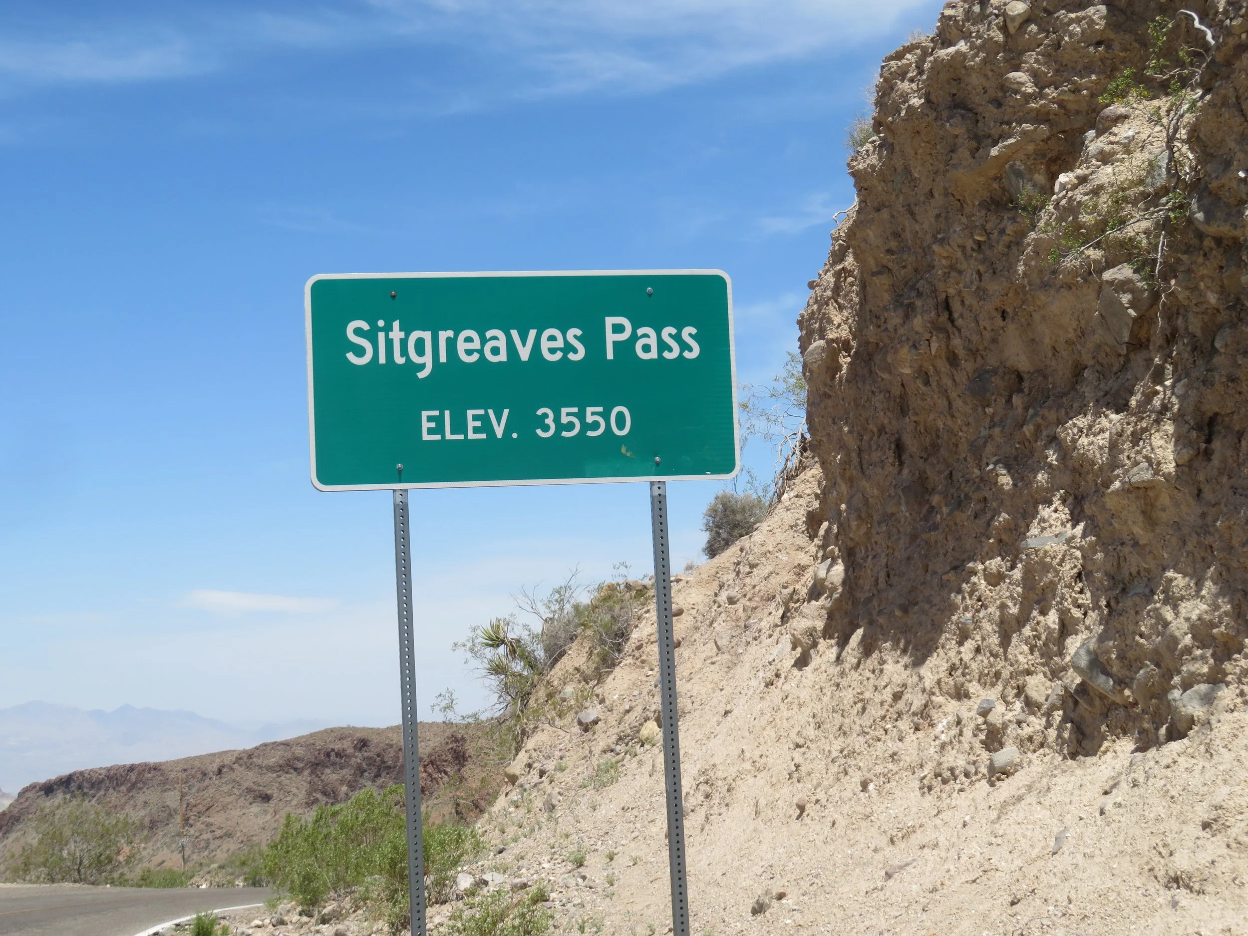
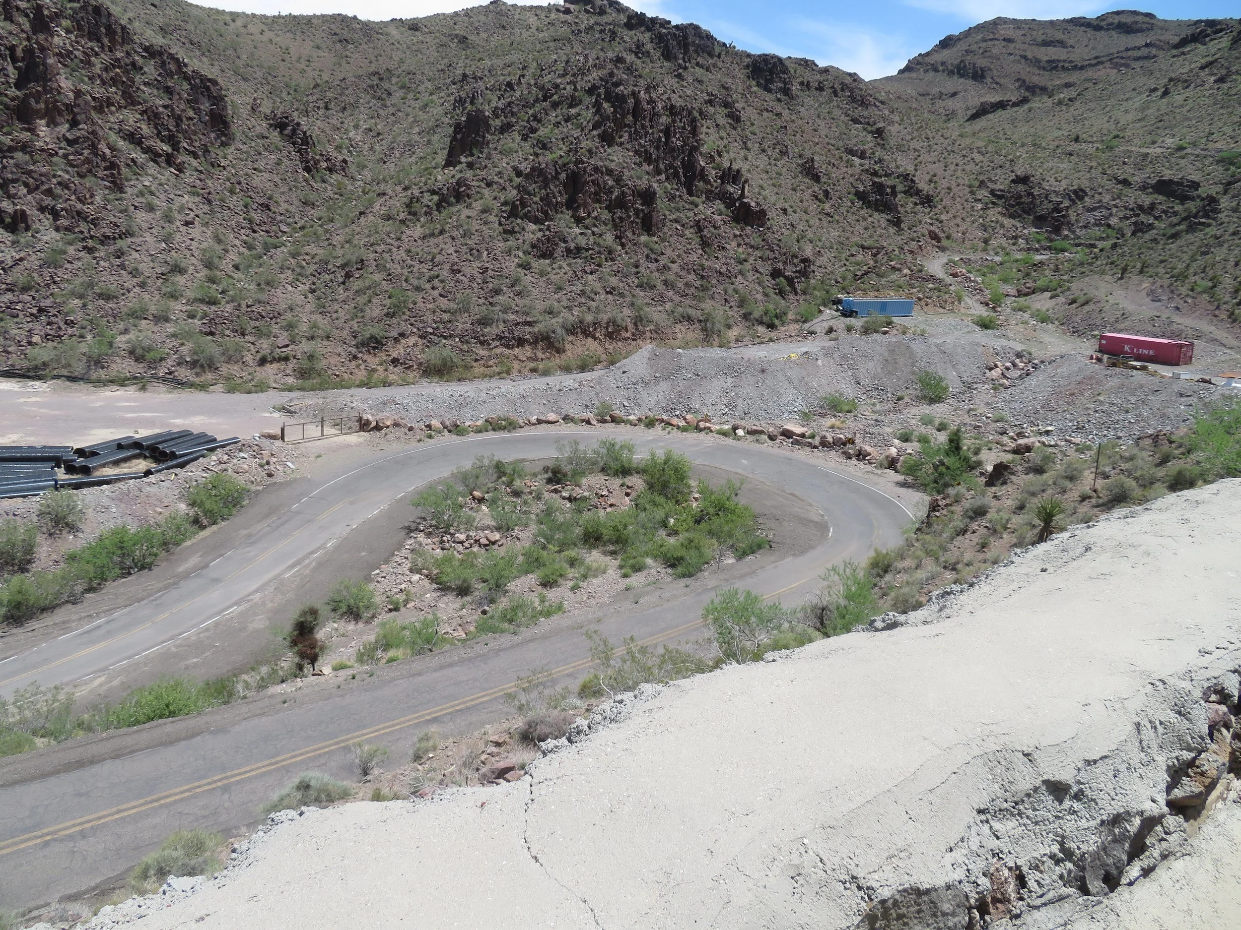
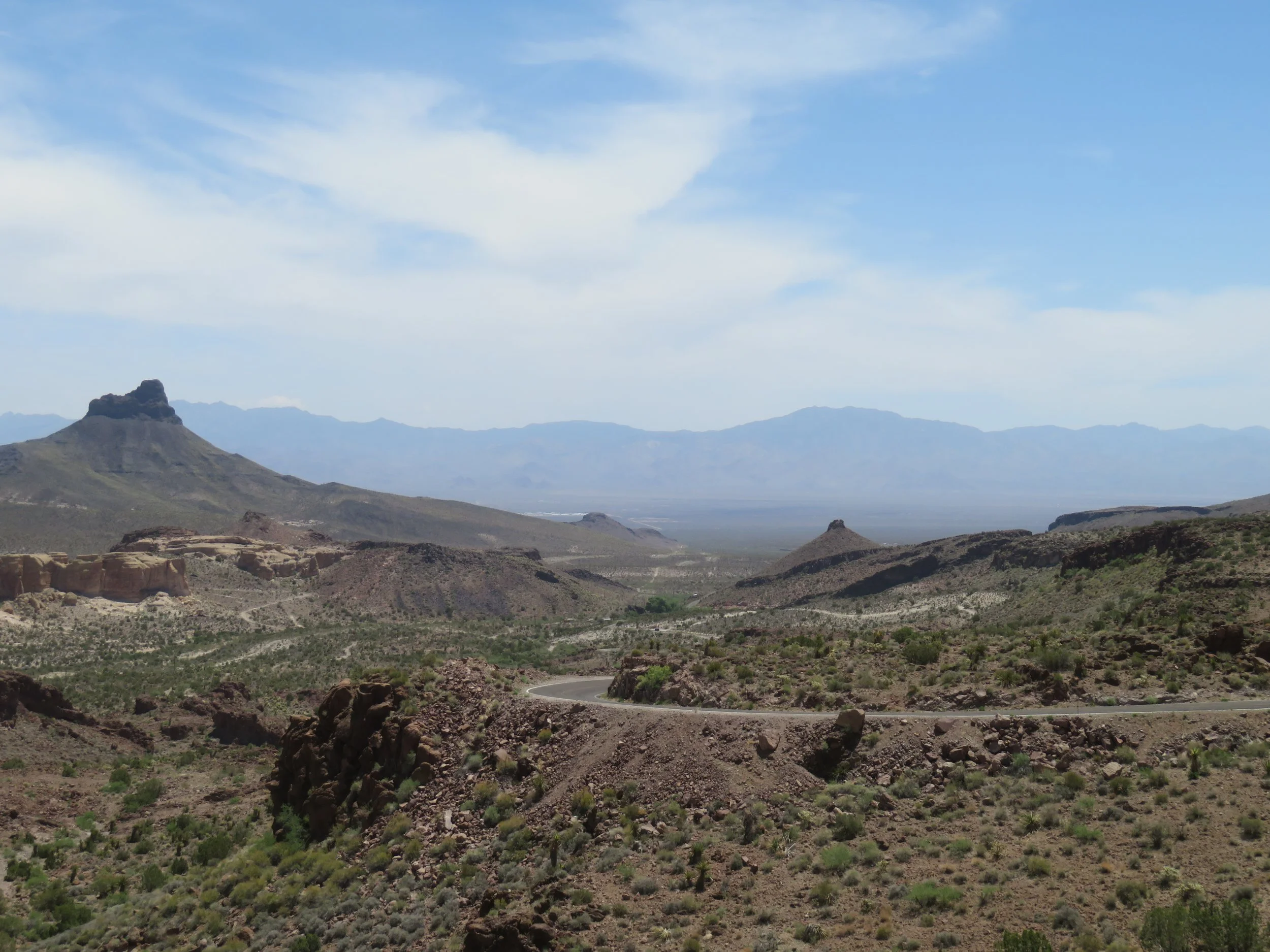
From Sitgreaves Pass, a great view of the serpentine road below
Just over the pass, a large parking area led along a path to a point. Memorials and crosses had been placed on a small hill above the point.

Judging from a couple of rusted wrecks below, it seemed as if some folks didn’t make all the curves.
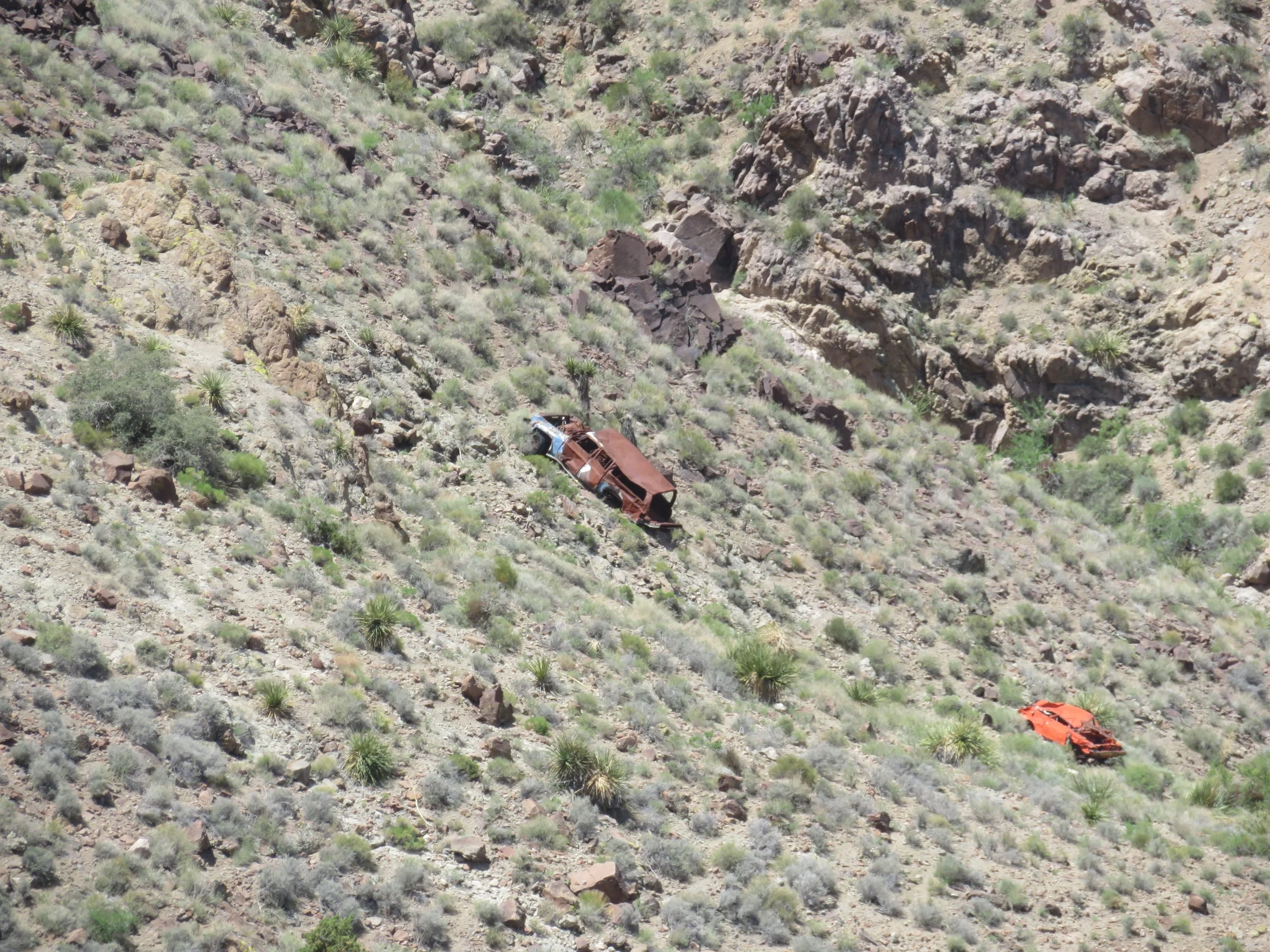
A few folks didn’t make the curves.
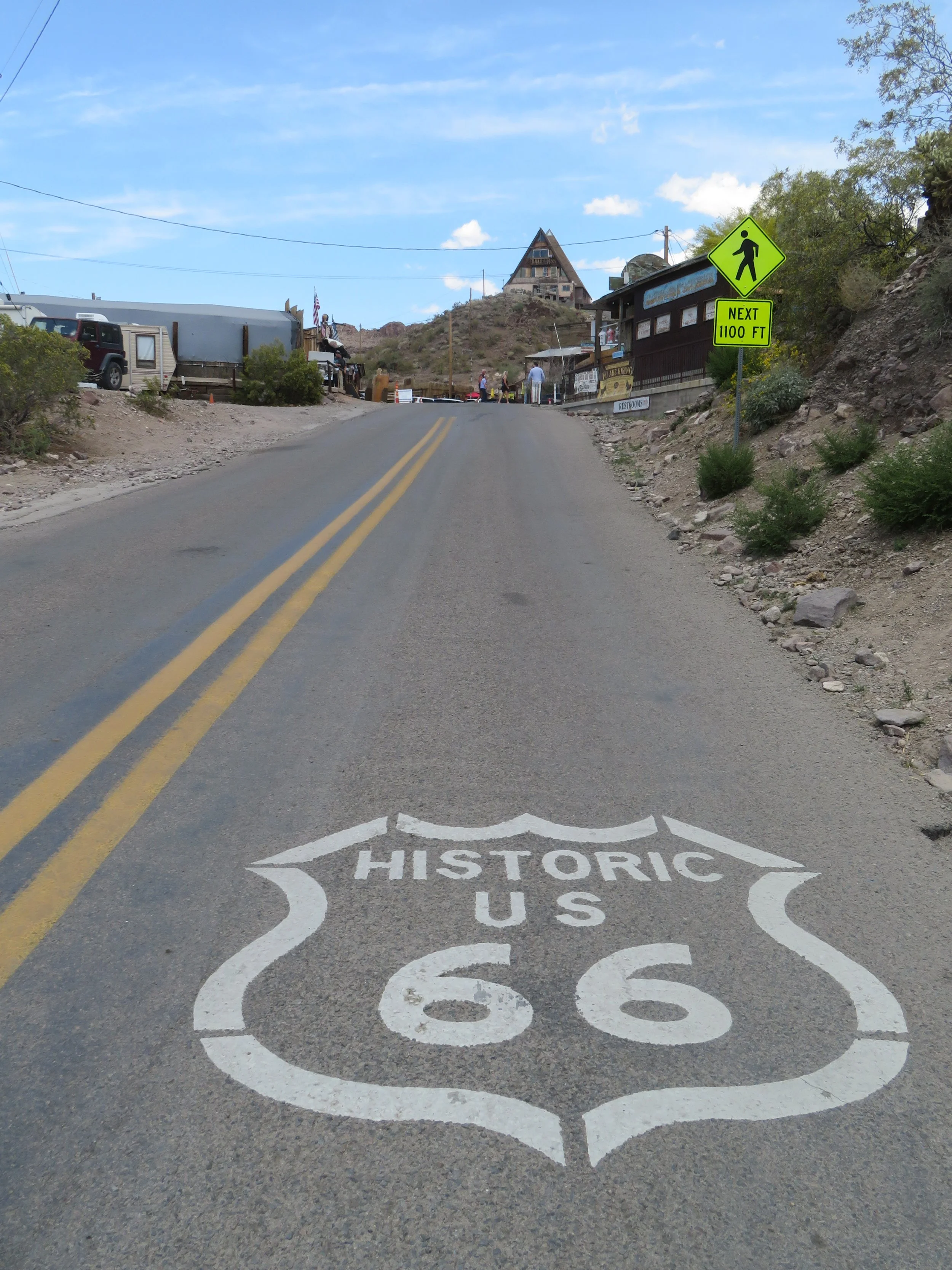
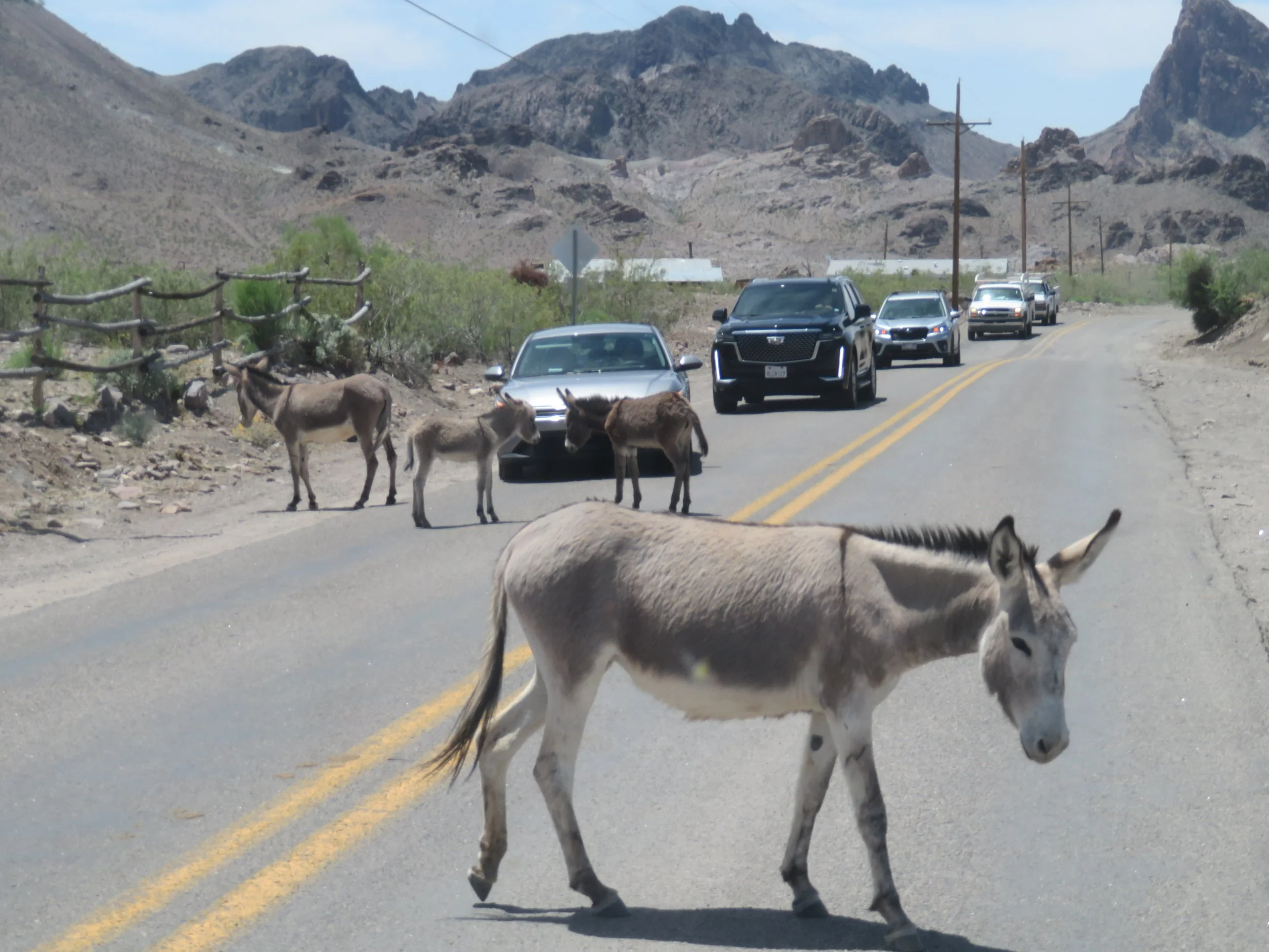
The eight mile Sidewinder route ended abruptly as we reached the outskirts of Oatman. The greeting squad was on duty collecting carrot tolls.
Got carrots?
There was a short delay getting through town to avoid burros and the gunfight that was just wrapping up on Main Street. Heading west out of town, there was a small traffic jam and a group of burros moseyed across the road, then back again, then changed their minds once more and just stood pondering for a few minutes. We finally made our way through the throng and headed on our way… another trip to Mojave National Preserve.
Was the Sidewinder worth the side trip to Kingman and the 28 miles on a back country road to Oatman? Sure, it was. It’s not a difficult drive, nor particularly thrilling, but it’s a part of the Mother Road, well-preserved with lots of history. We can imagine negotiating the pass and the never-ending curves on a narrow, unpaved, rough road (it wasn’t paved until 1938), sweltering in the desert heat, windows open (no A/C), dust blowing in. The old jalopies would be overloaded with a family and all of their entire earthly belongings, the travelers hoping their car didn’t overheat or a tire didn’t go flat or the engine didn’t conk out en route.
The entire Mother Road is still on the bucket list, but we’ve ticked off another small section of it.
Join us next time for a return trip to Hole-in-the-Wall Campground and a hike on the Barber Peak Loop Trail.