
Route 66 – Driving the Mother Road – Kingman to Needles
/After our usual morning walk, we left Las Vegas early and arrived at Kingman’s Visitor Center, ~100 miles away, around 0930. We’ve stopped in Kingman a zillion times before on our way to and from US-40, and I’ve already written several blogs about our stops there, but we really never tire of seeing it all again. Plus, we’ve never visited Kingman as the first stop heading west on Route 66. We’re excited to be celebrating the Mother Road’s centennial birthday.
With 16 Tesla Superchargers, it was a great place to top up the Ioniq while we looked around. The car probably didn’t need charging at this point, but as new EV users, we figured we’d rather be safe than sorry especially since the charge point was so convenient.
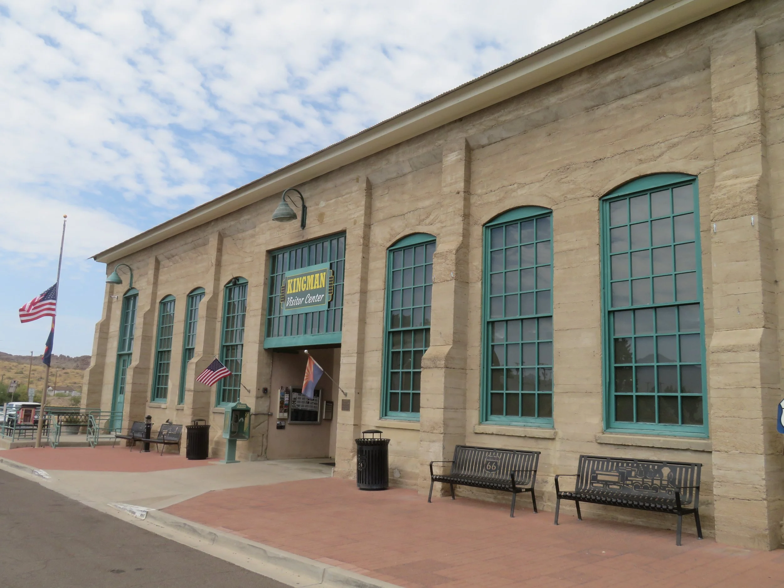
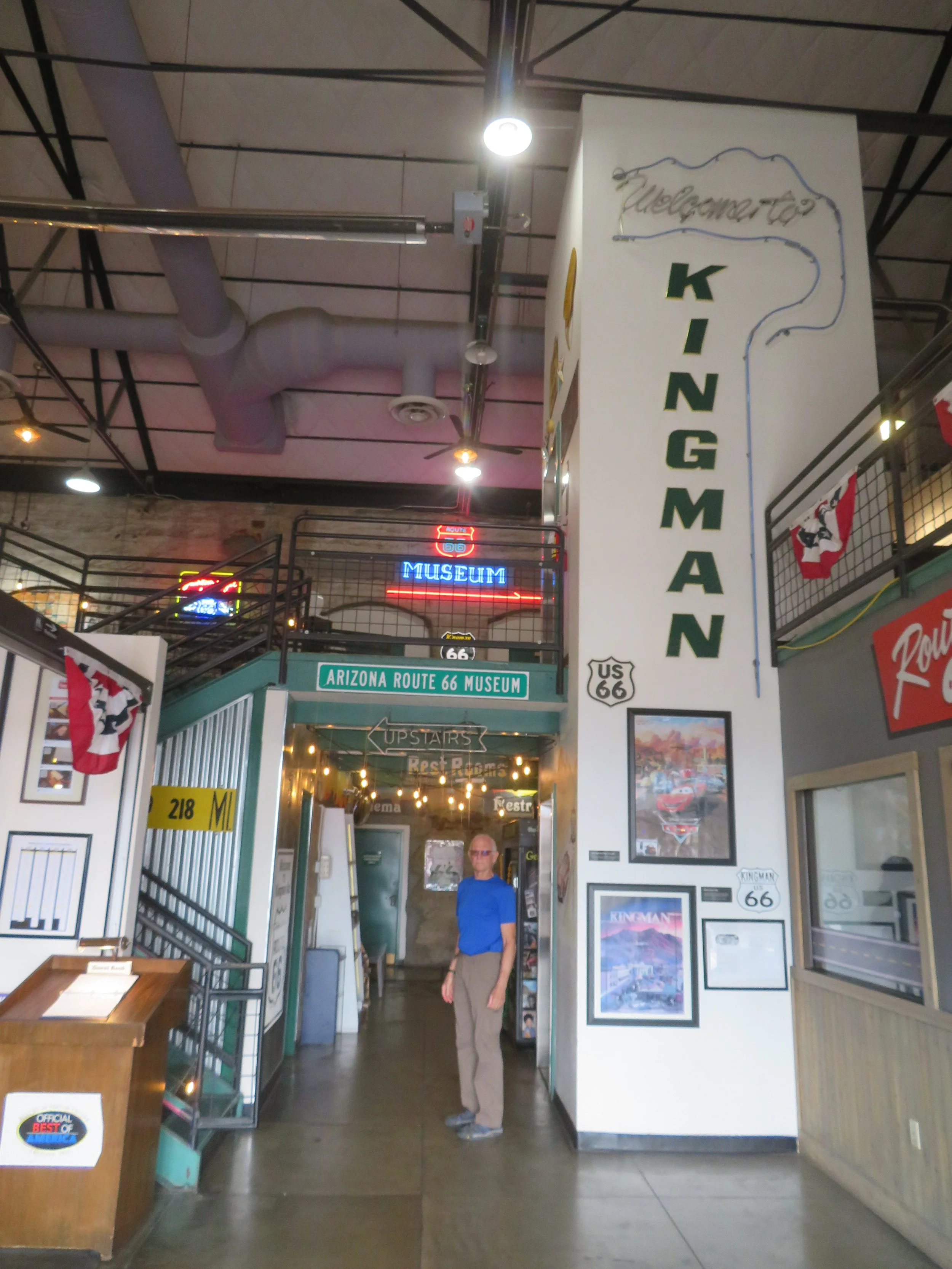
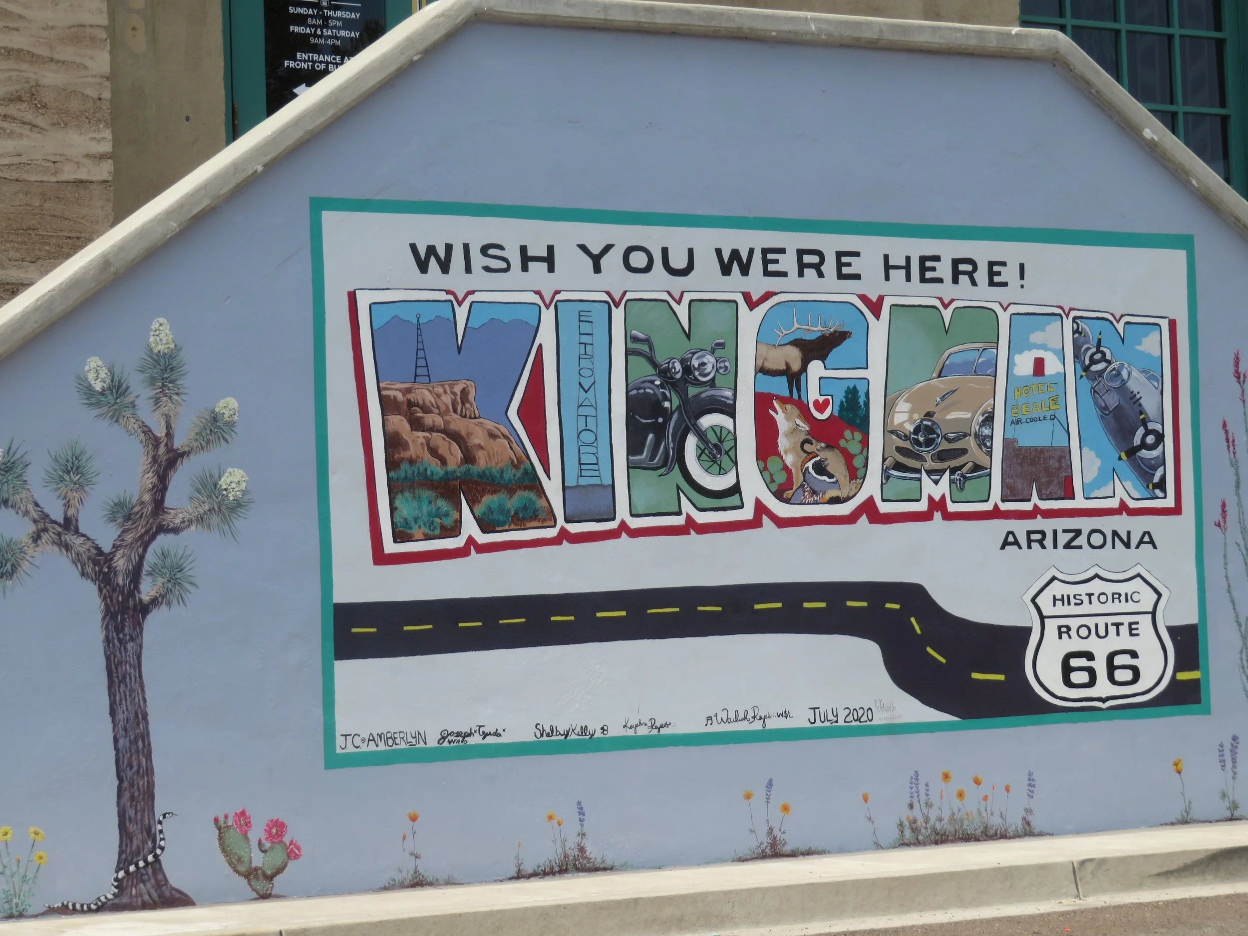
There’s the big Route 66 Kingman Arch for a photo opp and the Visitor Center itself, which is an old repurposed Powerhouse with a gift shop, lots of maps, brochures and information, restrooms and a museum. There’s an interesting mural painted on the outside of the building opposite the EV chargers.
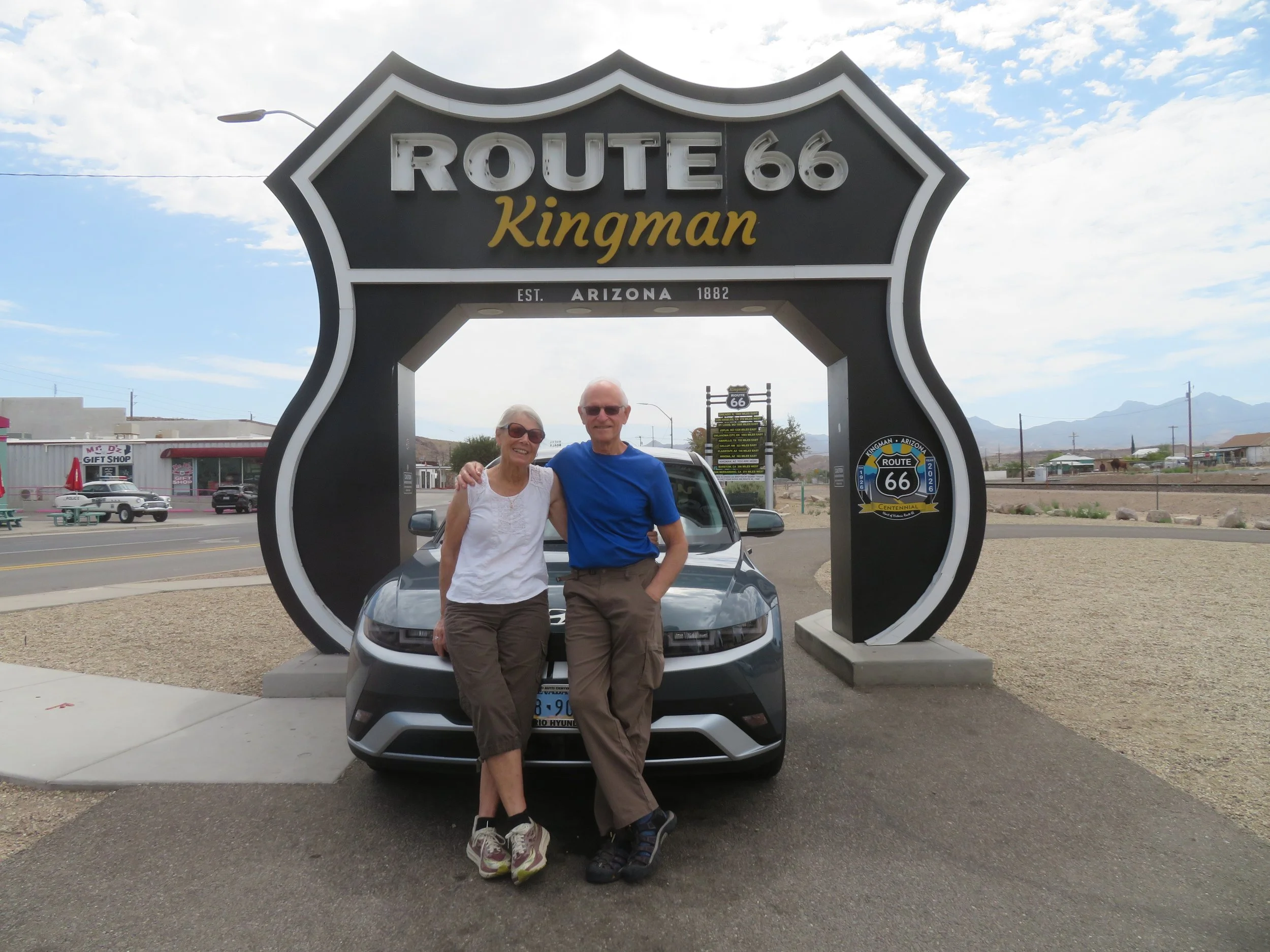
The Kingman Rpute 66 Arch - A local volunteer was on hand to take photos on requsest.
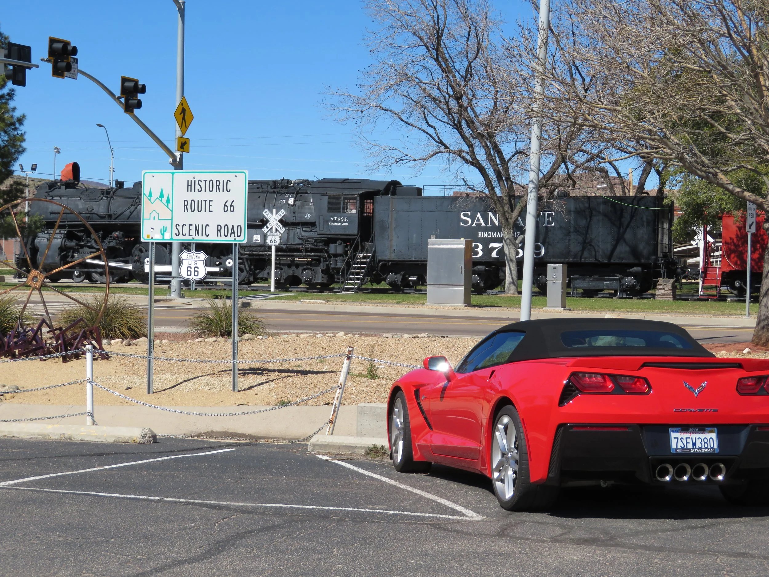
Across the street is Locomotive Park, which has an AT&SF No. 3759 steam locomotive on display. Considered one of the most famous pieces of Route 66 railroad history, this locomotive was built by Baldwin Locomotive Works in 1927 and retired in 1953 after having traveled 2.58 million miles. In 1957, it was the last steam engine to run the LA-Kansas City main line through Kingman. Not our Corvette, by the way!
Mr. D’s Route 66 Diner, originally built in 1939 as the Kingman Café and Kimo Shell Station, is right across the street. We walked over for breakfast at the iconic Route 66 restaurant. Let the Mother Road experience begin!
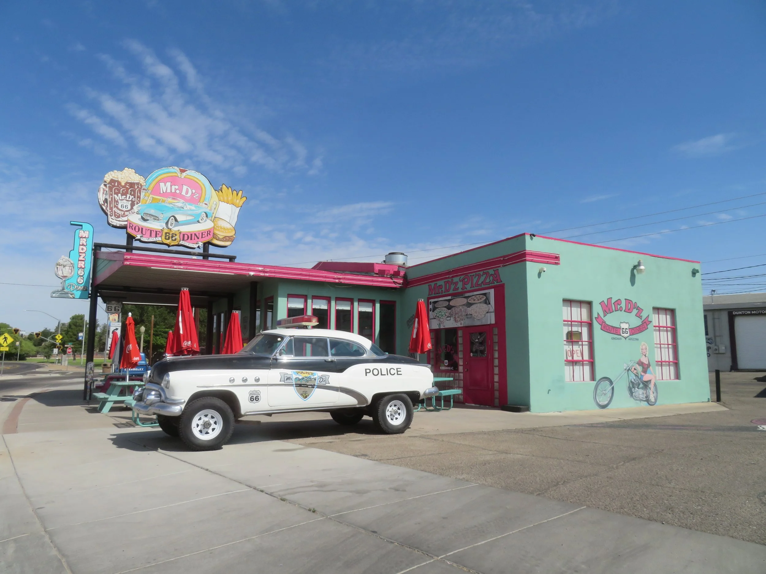
Mr. D’z for our Route 66 breakfast.
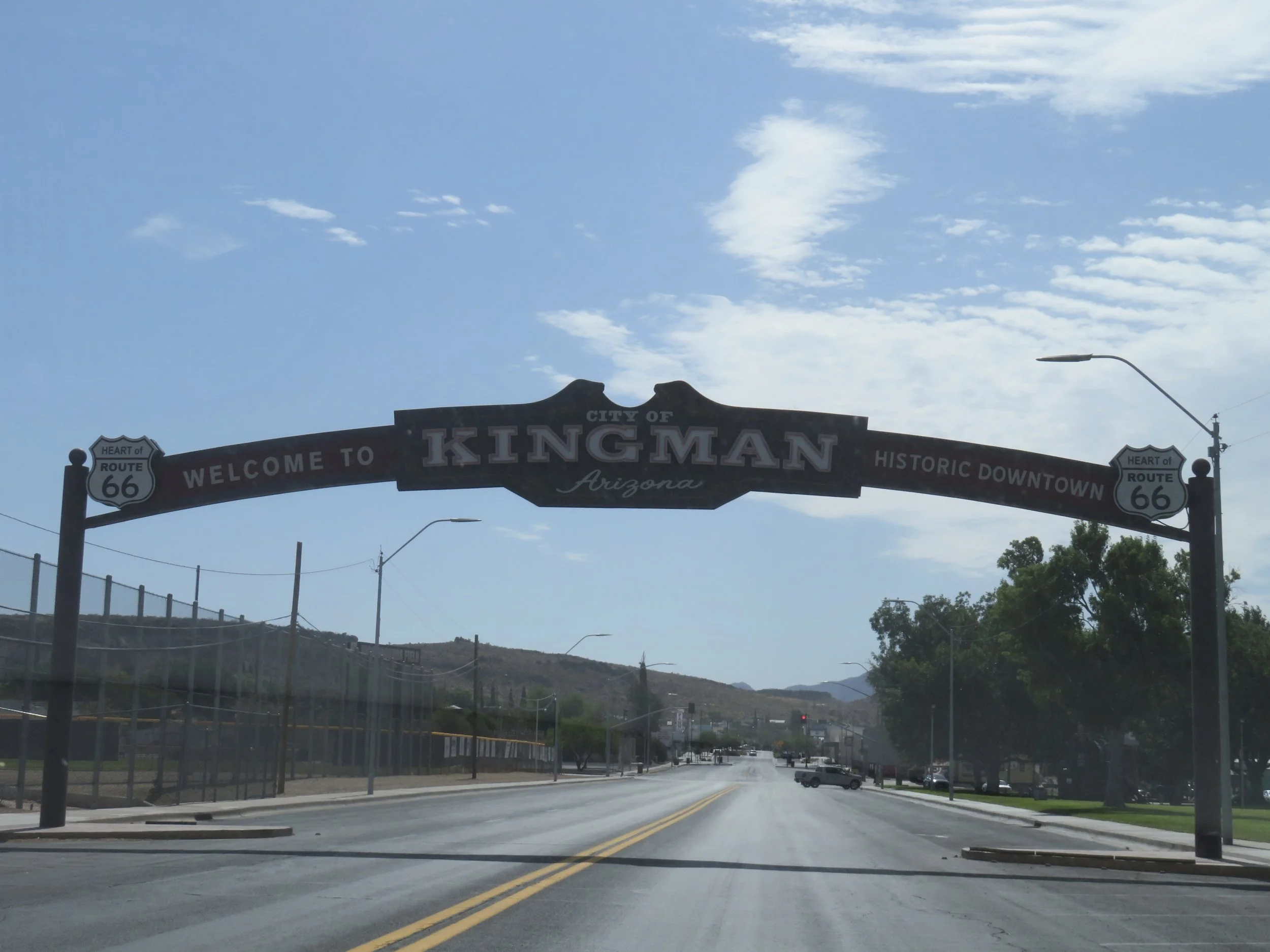
Before heading out of town, we did a short scavenger hunt of Route 66 murals in Kingman. Some of them are awesome. Here’s a sample. To check them out, go to the Kingman Murals website for more information and addresses.
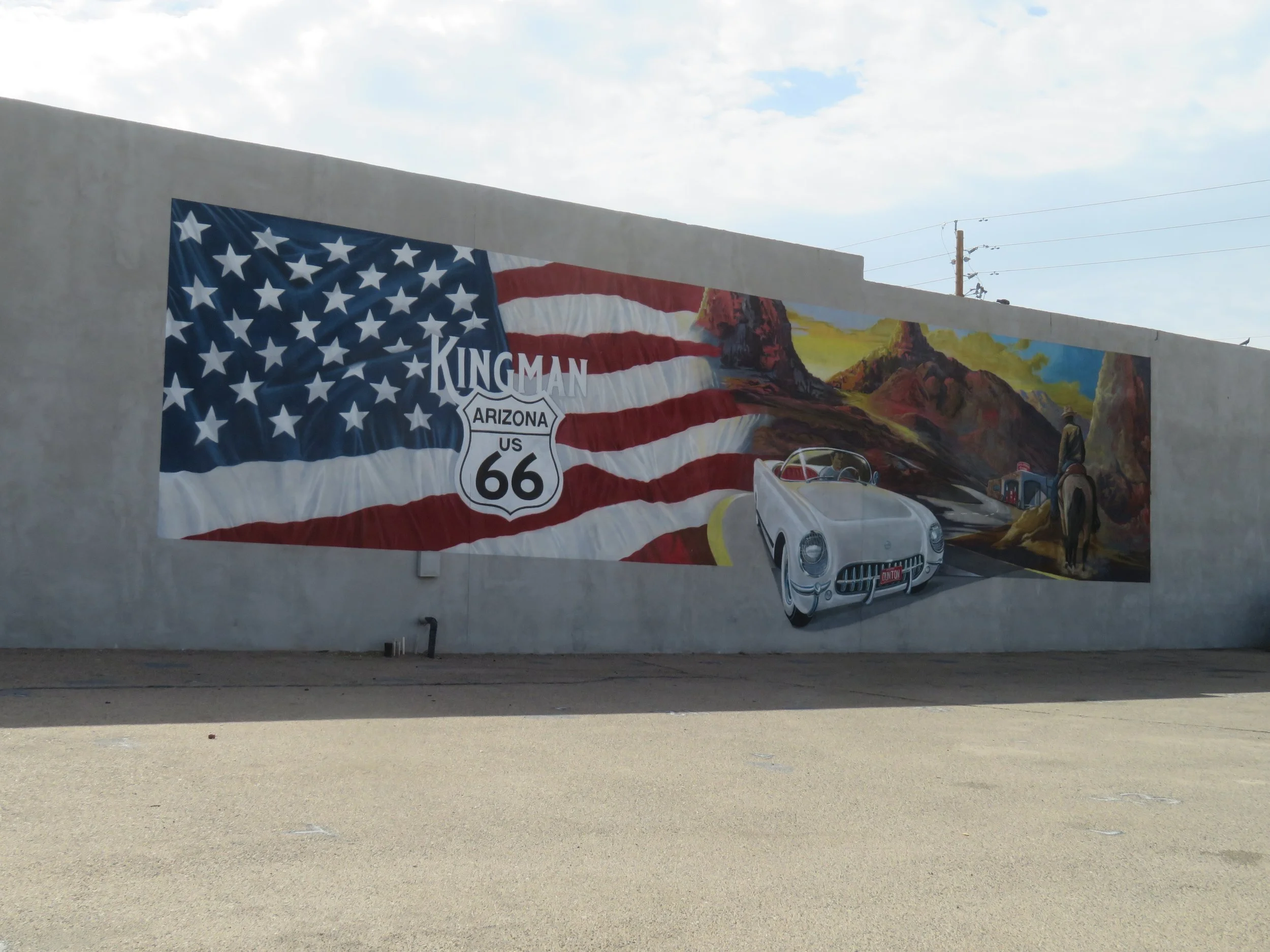
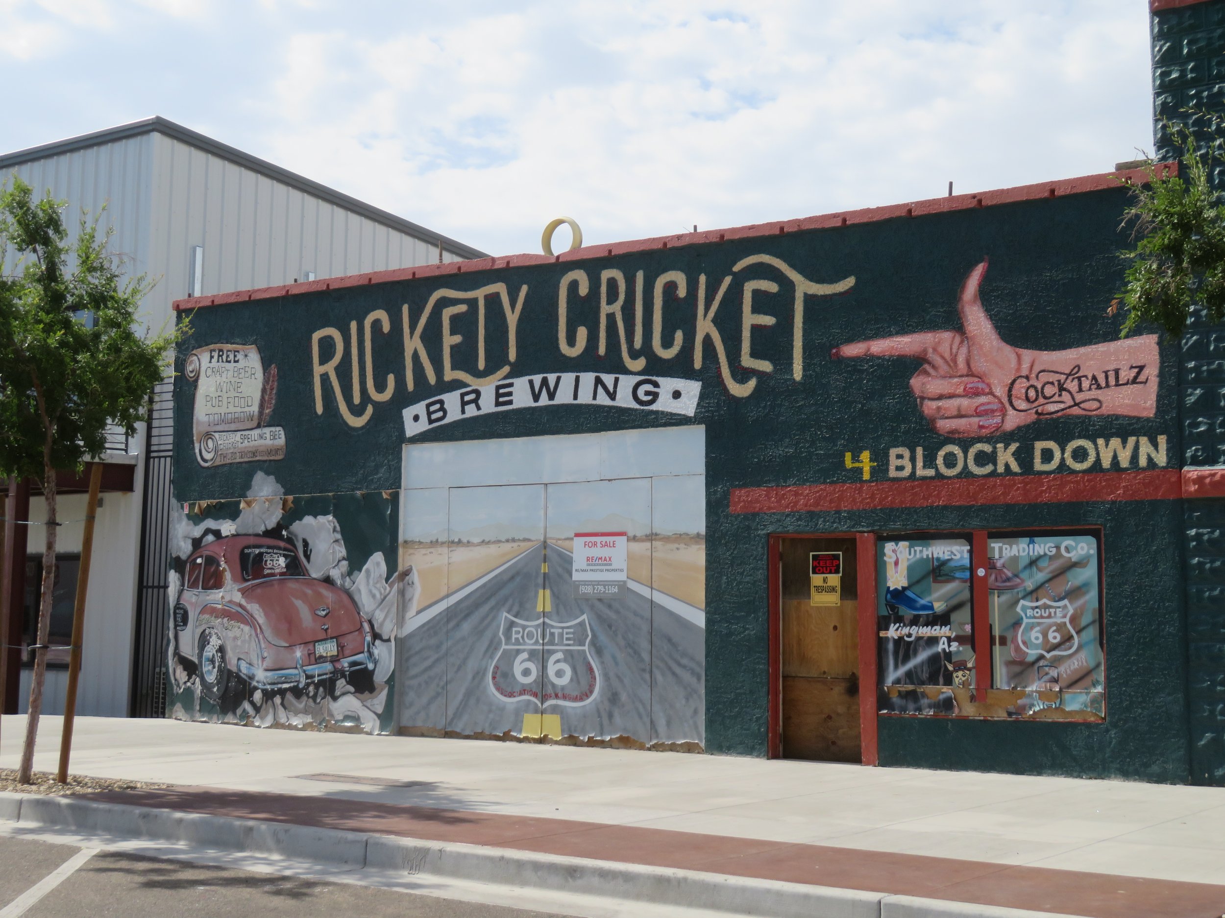
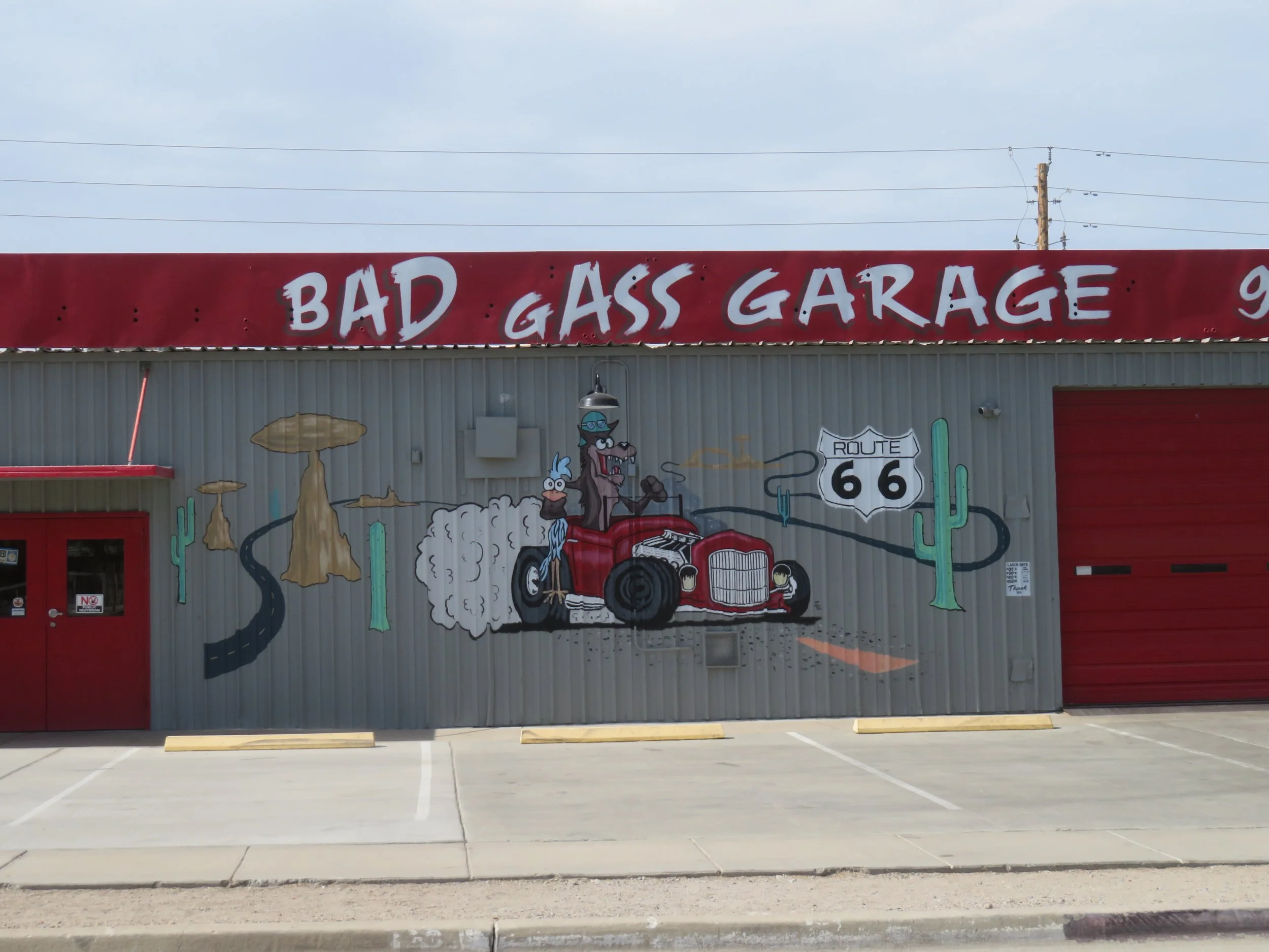
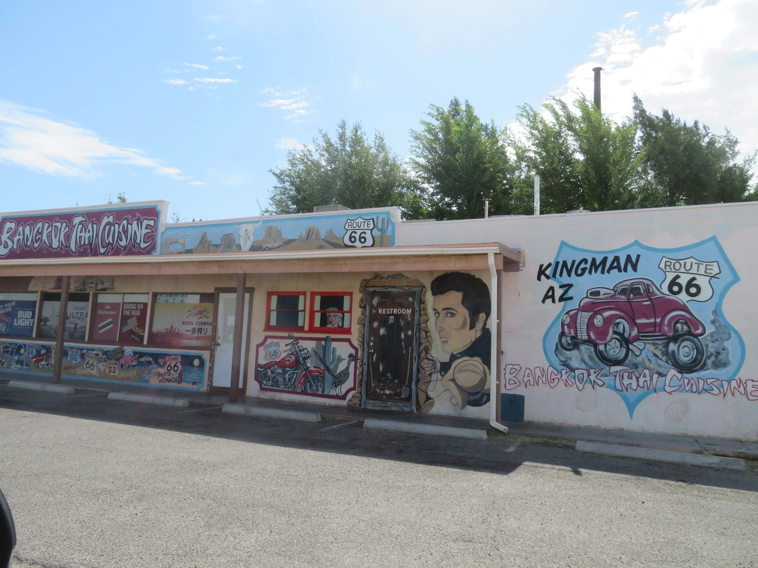
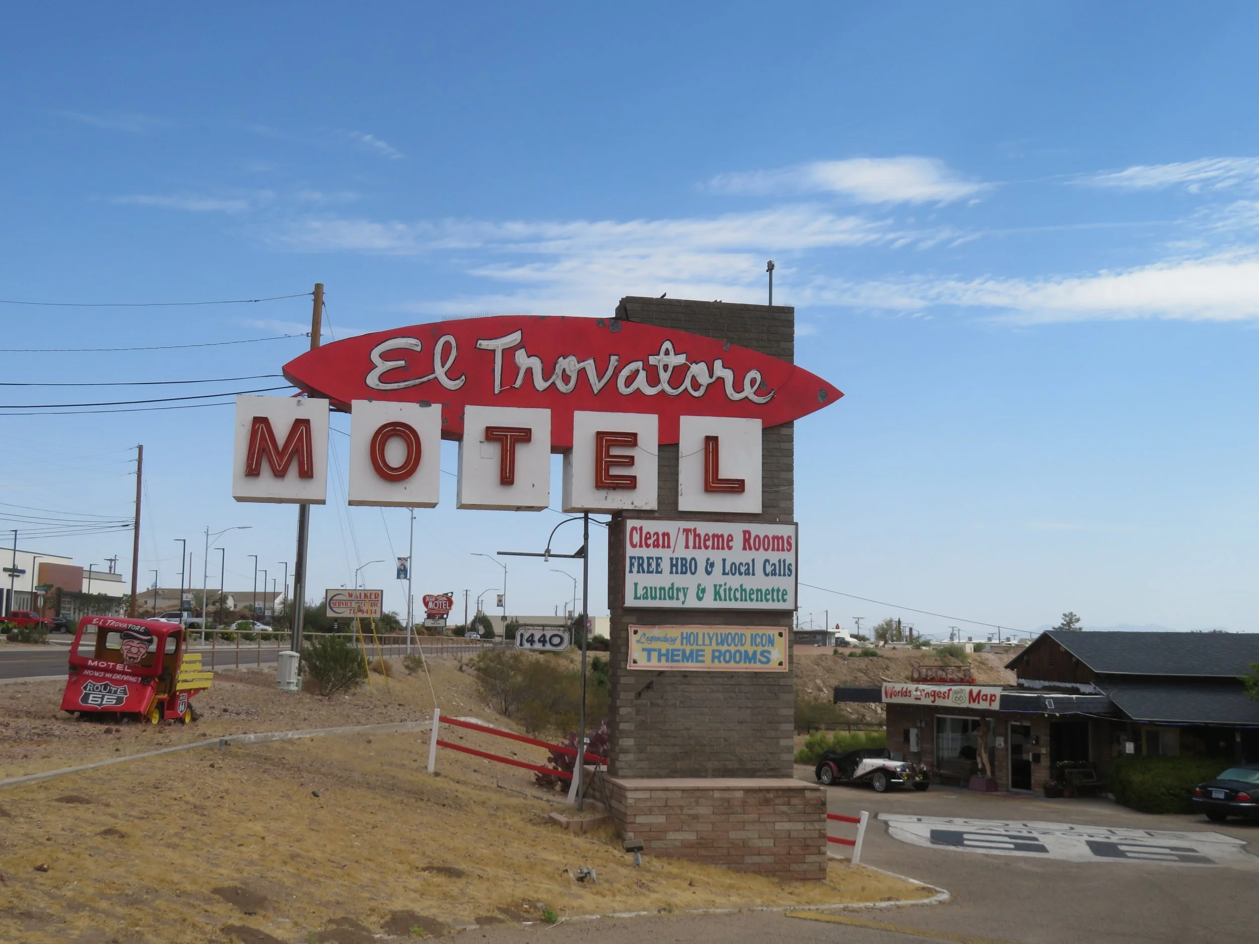
A word about The World’s Longest Map mural above. It’s located at the El Trovatore Motel. It’s a 206-foot-long mural that extends along the entire front wall of the motel and includes each of the eight Route 66 states with lots of cartoon characters.
We also spotted a couple of statues in downtown Kingman.
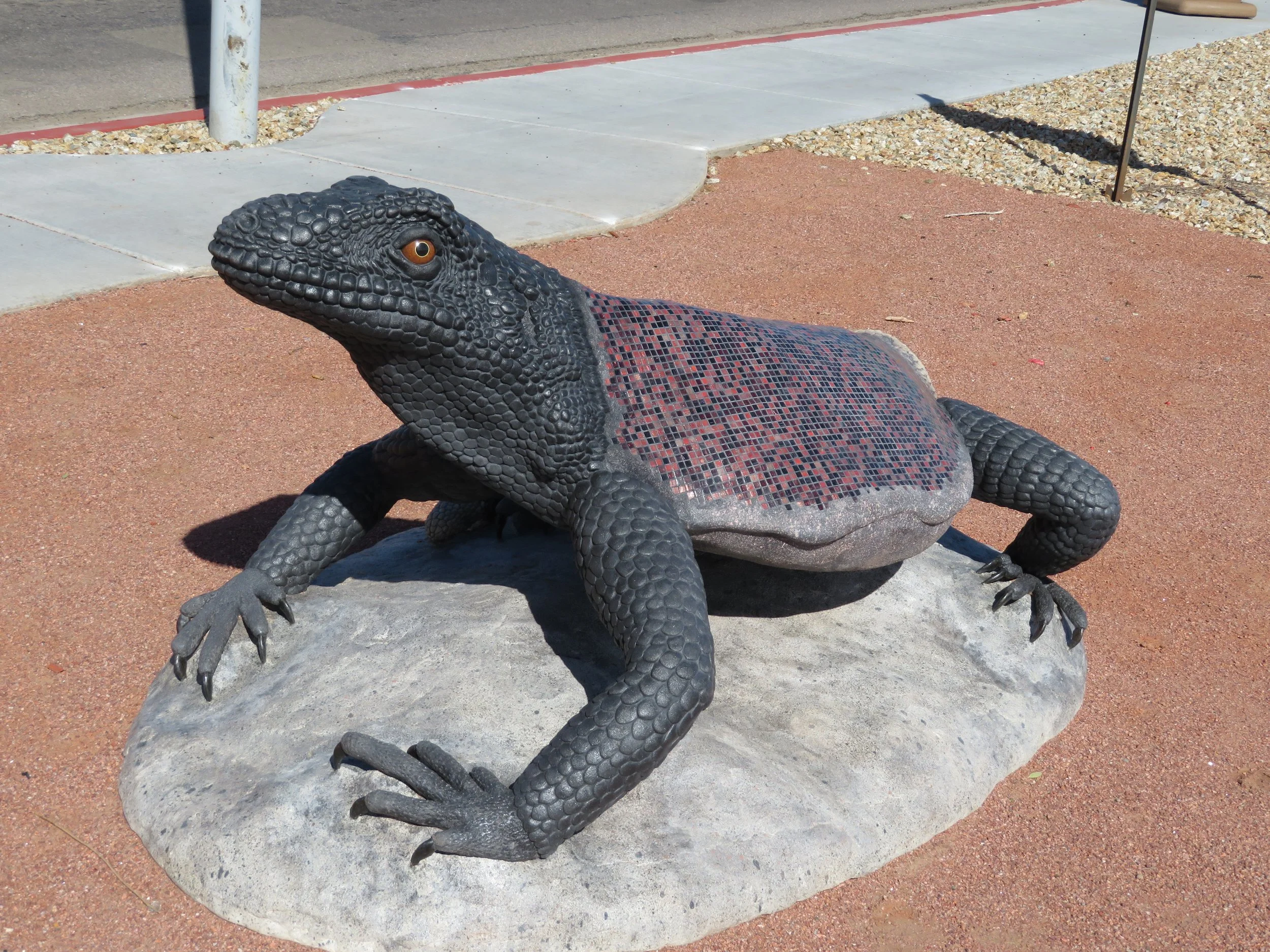
King chuckwalla - artists: Solomon Bassoff and Domenica Mottarela Faducci
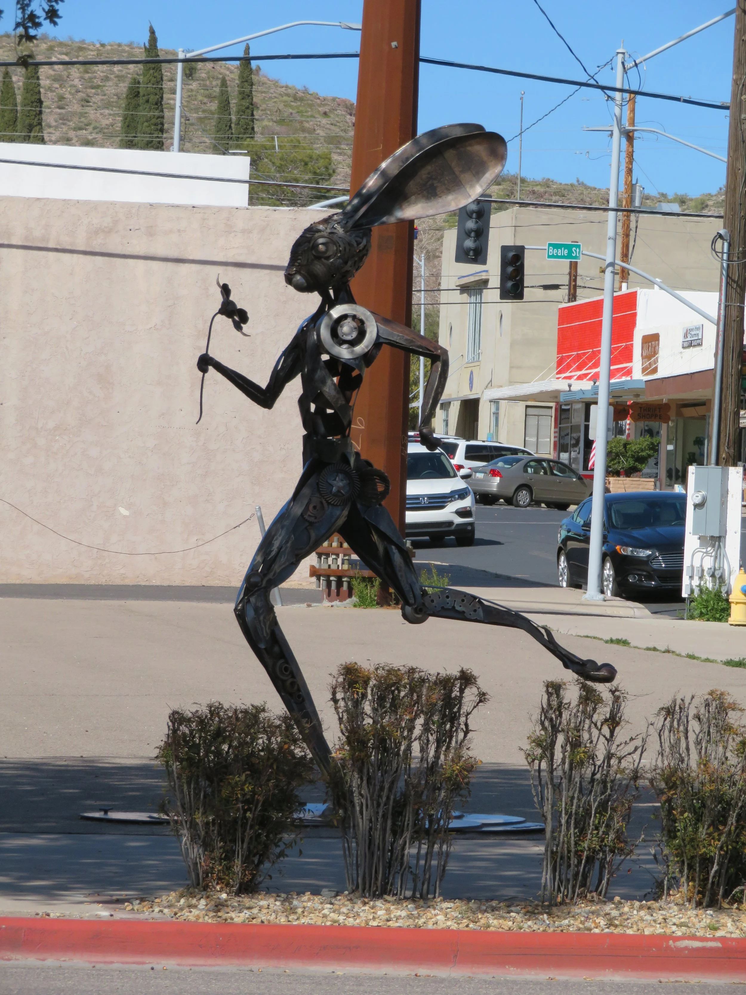
Running Hare - made of Scrap Metal & automotive Parts - artist: Donald Gialanella
From Kingman, we drove through Cool Springs and along the 8-mile long, 191 curves of old US-66 known nowadays as the Arizona Sidewinder. We thought about the folks during the Dust Bowl years heading over the Black Mountains on this route in their old 1930s vintage vehicles with no A/C, subject to overheating and vapor locks and generally unreliable. What a travail it must have been.
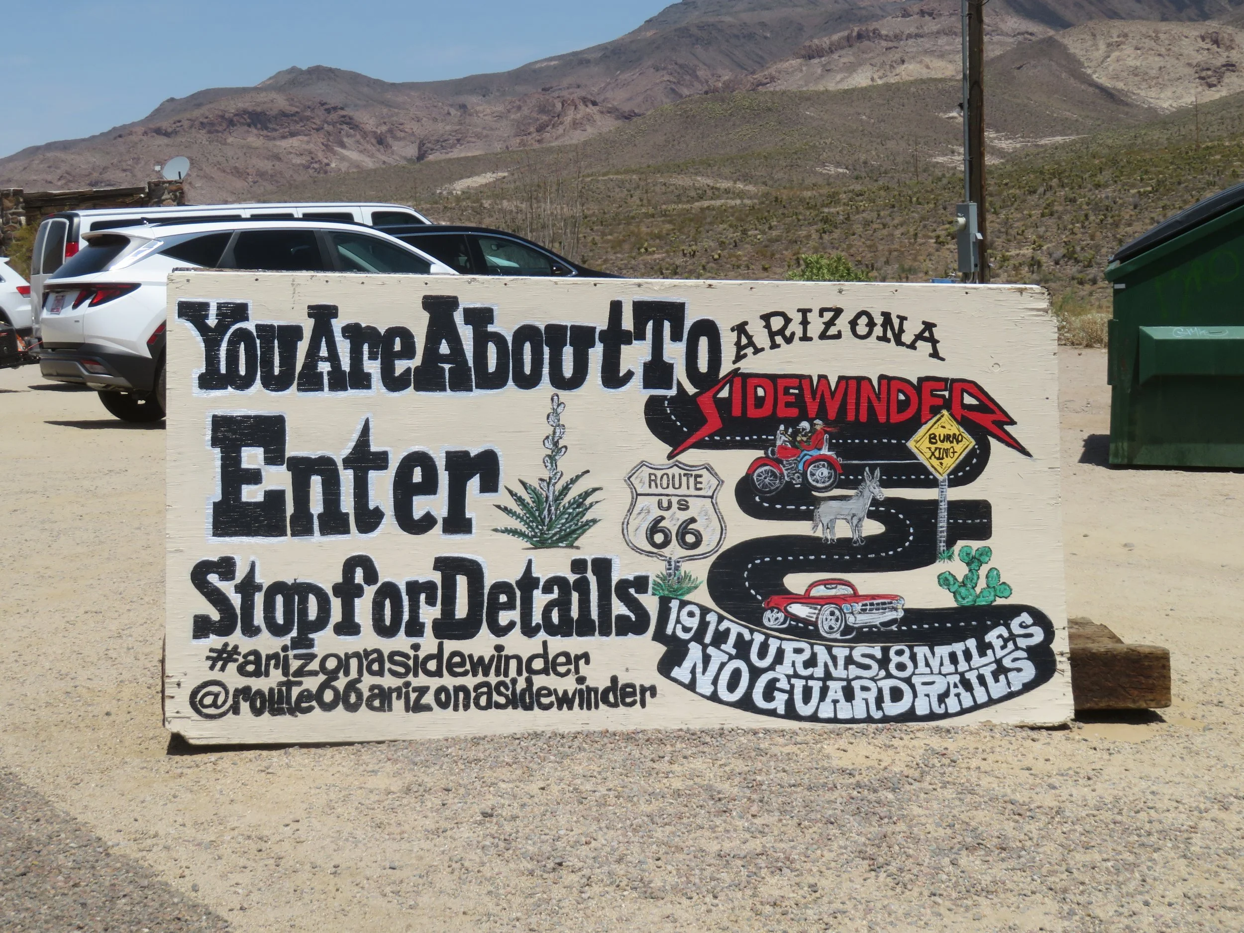
At Cool Springs, we began the steep winding climb over Sitgreaves Pass. It was considered the ‘most fearsome obstacle’ of the whole trip west, narrow, hairpin turns, sharp drop-offs and no guard rails.
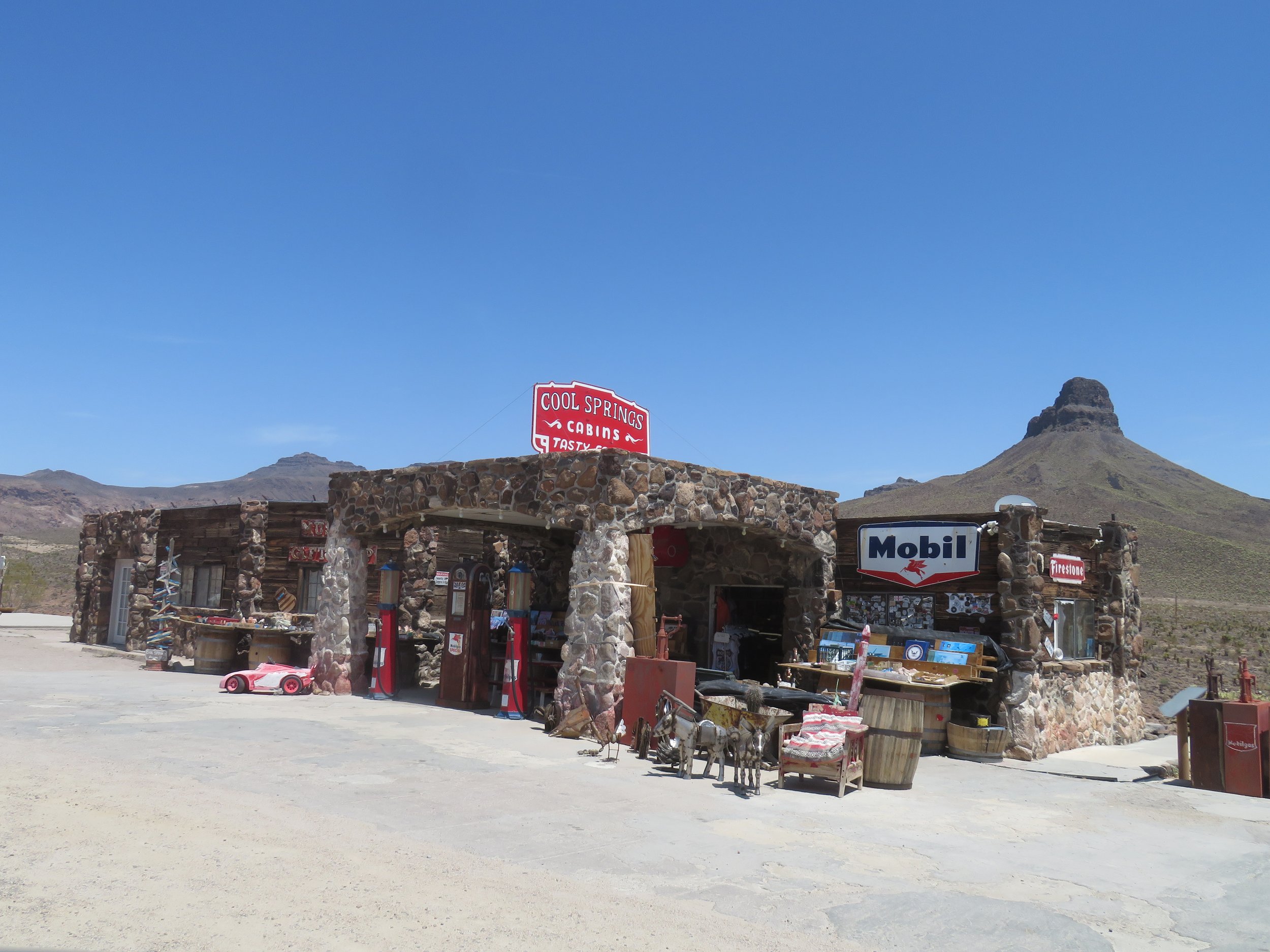
Now a kitschy gift and souvenir shop, the Cool Springs Station once offered motel rooms, gas and help for Route 66 travelers.
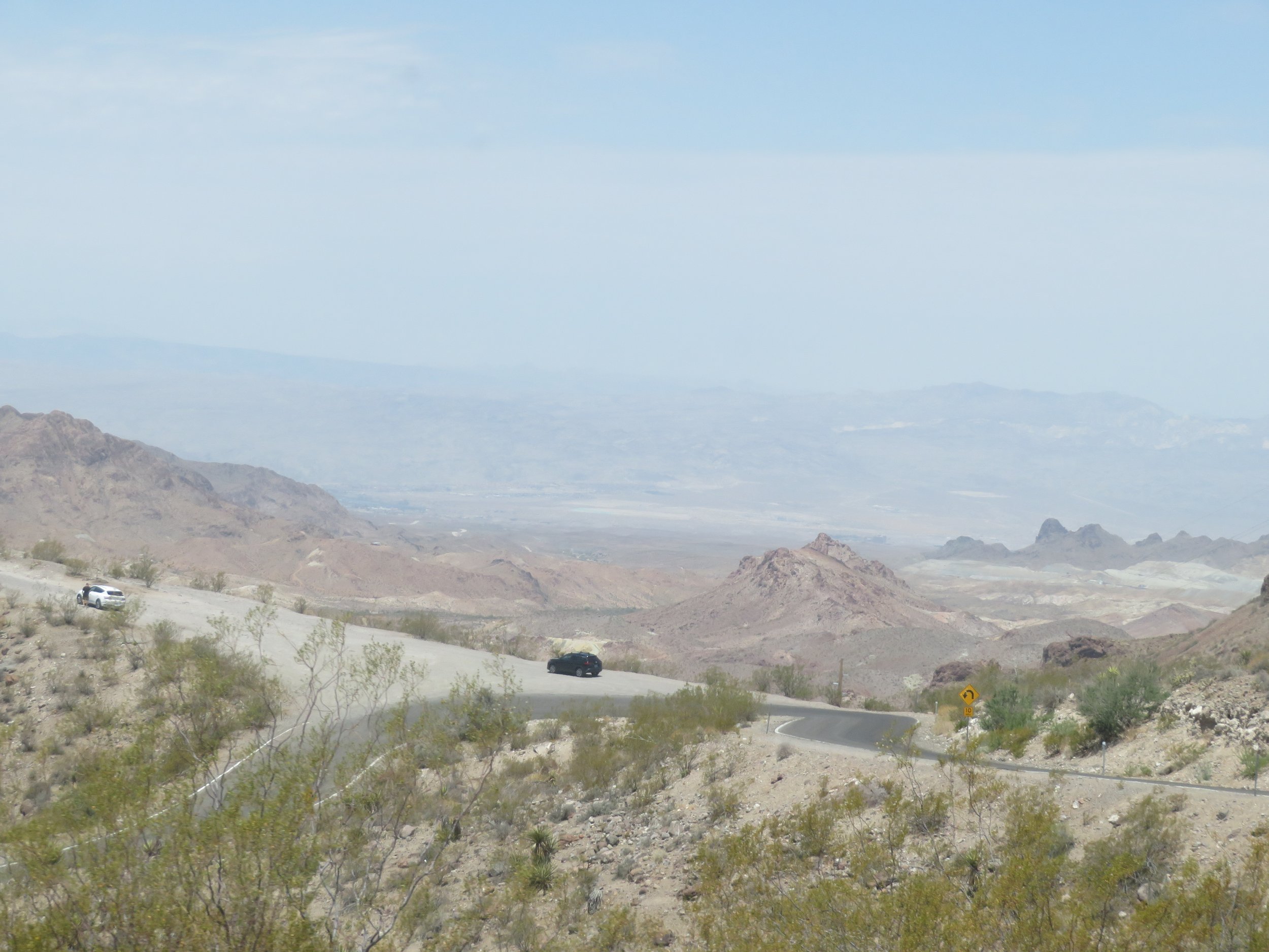
View from the top of Sitgreaves pass looking down towards Oatman.
Once down the mountainside, Route 66 leads to Oatman. Calling Oatman a ‘ghost town’ is incorrect, we’re told. It’s not a town at all, but rather, according to the government, it is a ‘roadside attraction.’. Originally established as a mining camp, Oatman is now a tourist destination drawing 500,000+ people a year. It’s historic, fun and has regularly scheduled gunfights on the main drag (which also happens to be Route 66)… AND there are lots of wild burros roaming around. What’s not to like?
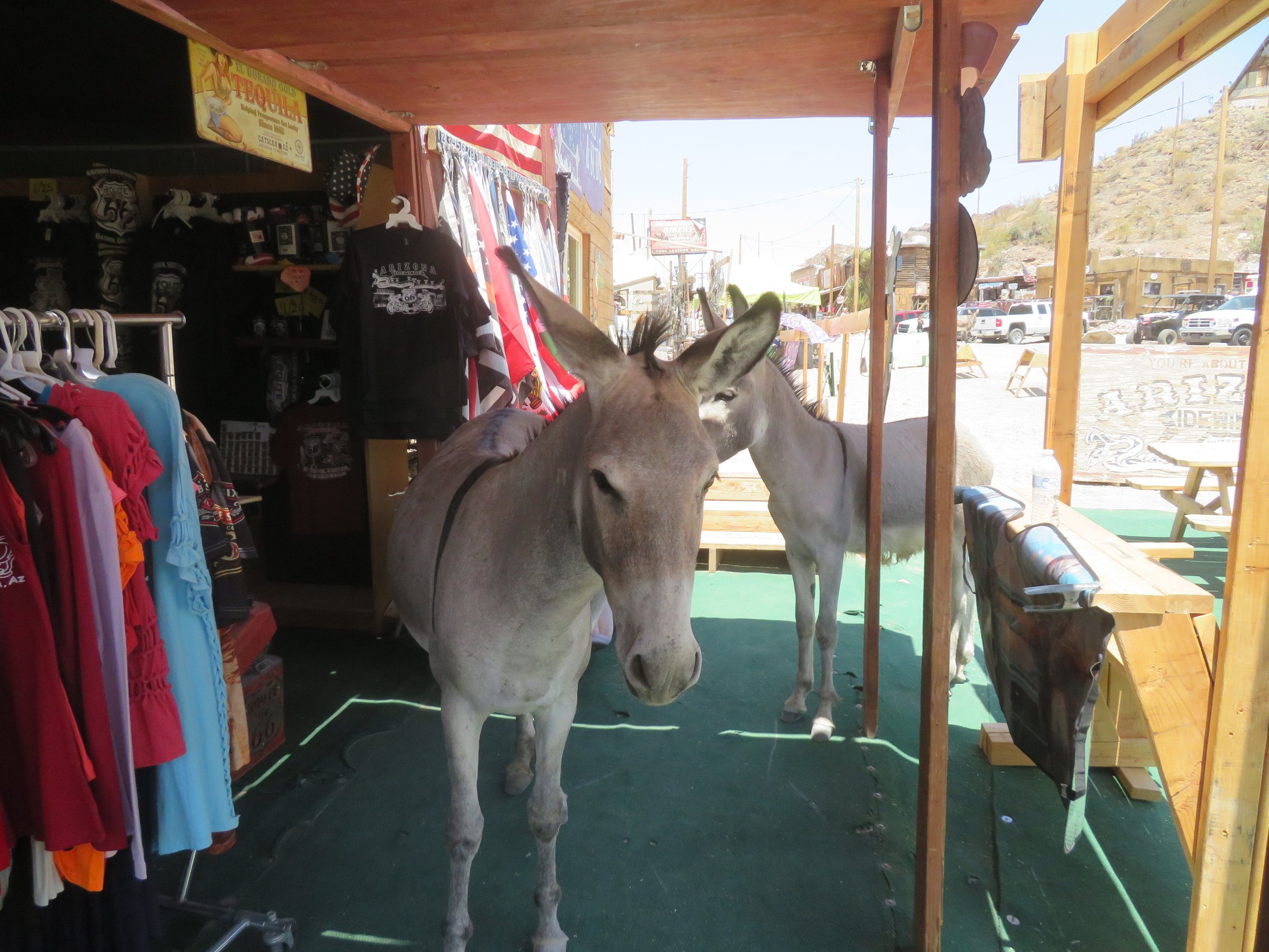
Wild burros, deserted by miners over the years, now are a major attraction in Oatman. They roam freely most everywhere… even into shops on occasion.
We’ve visited Oatman several times before and arrived in time for the gunfight, so we parked and took a walk down the main street. After the gunfight between a dance hall girl and the local bad guy (he lost!), we happened to watch the couple departing the scene of the crime, hand-in-hand. Guess the wounds weren’t mortal.
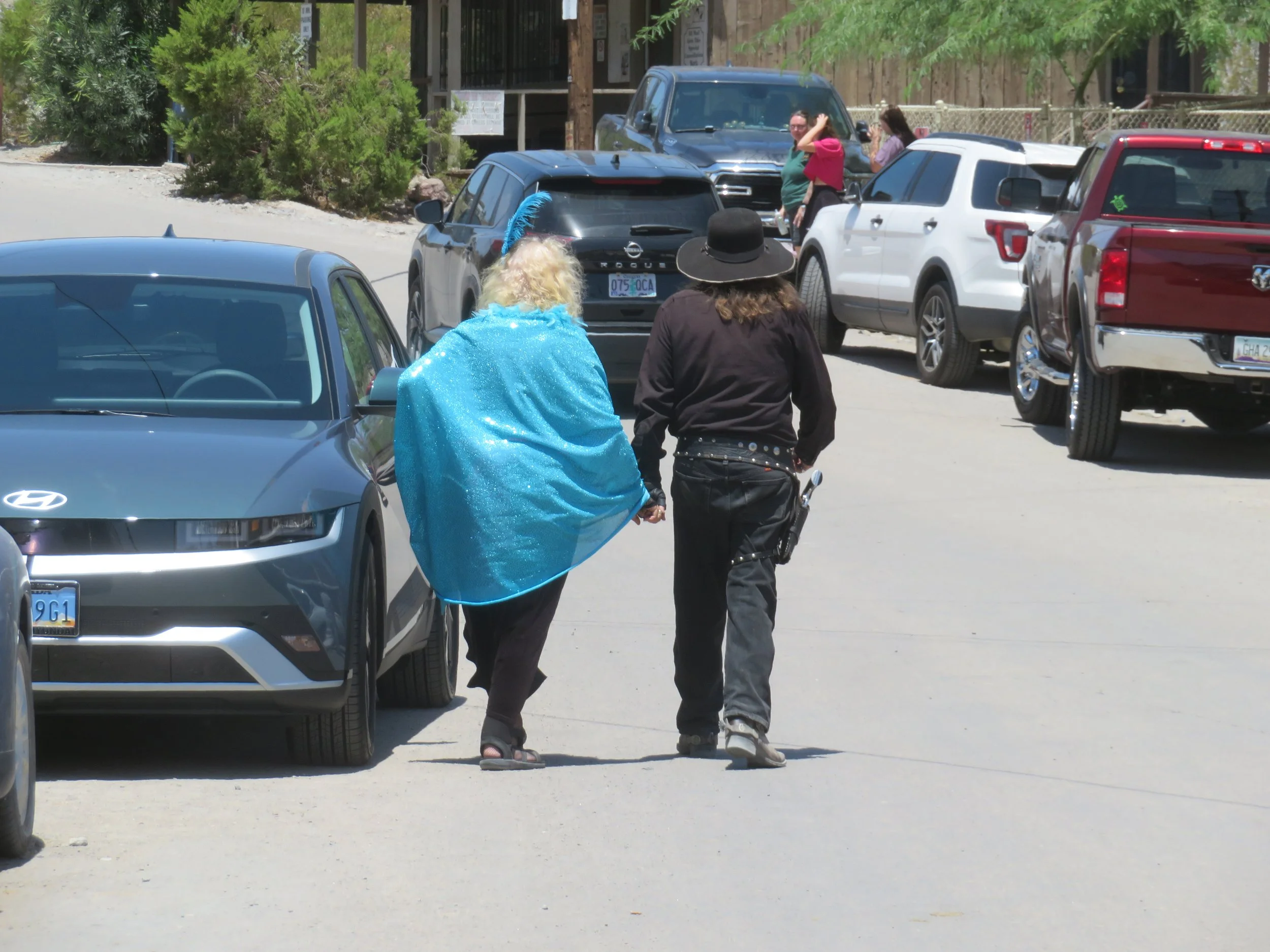
Ain’t love grand?
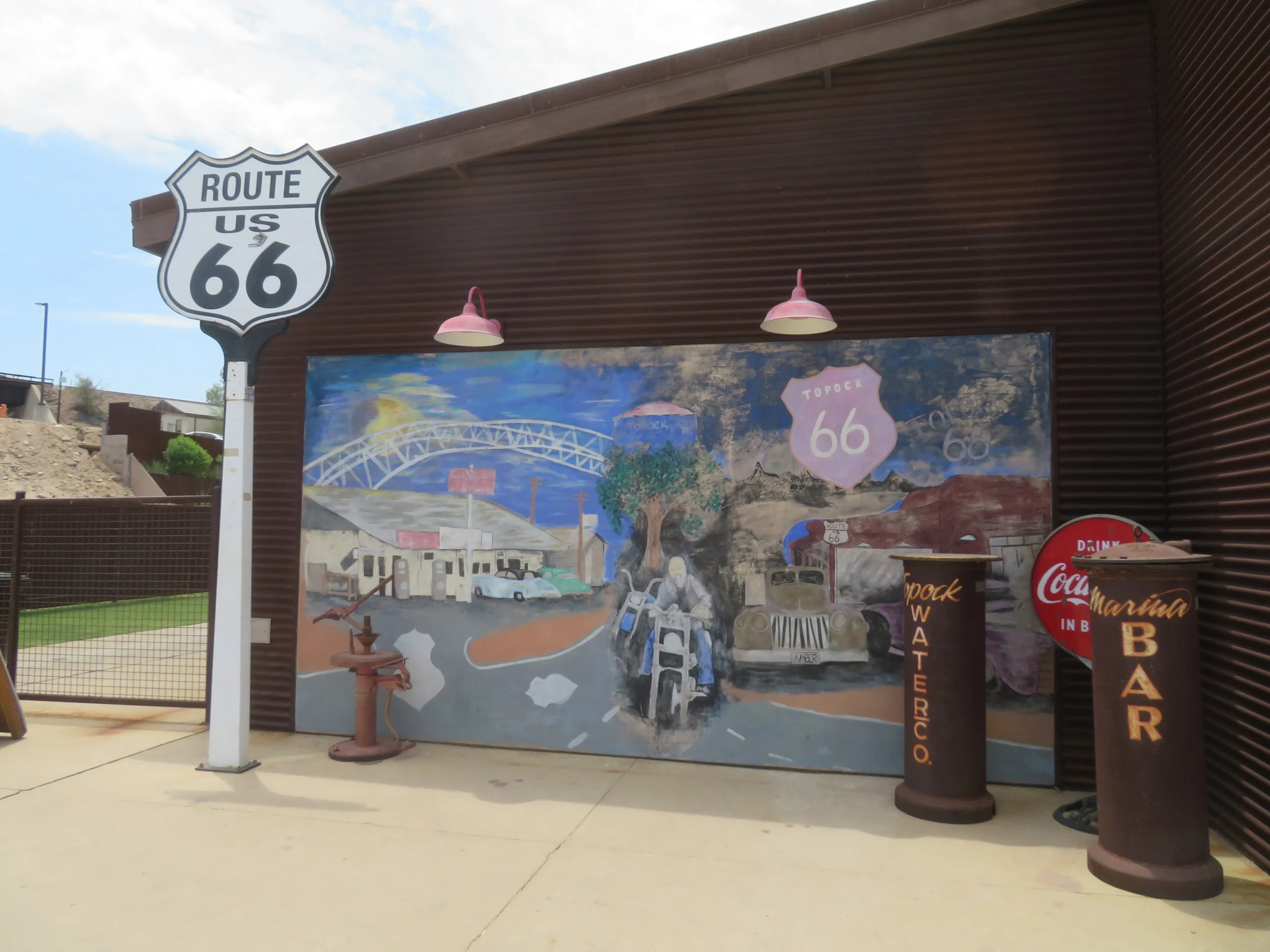
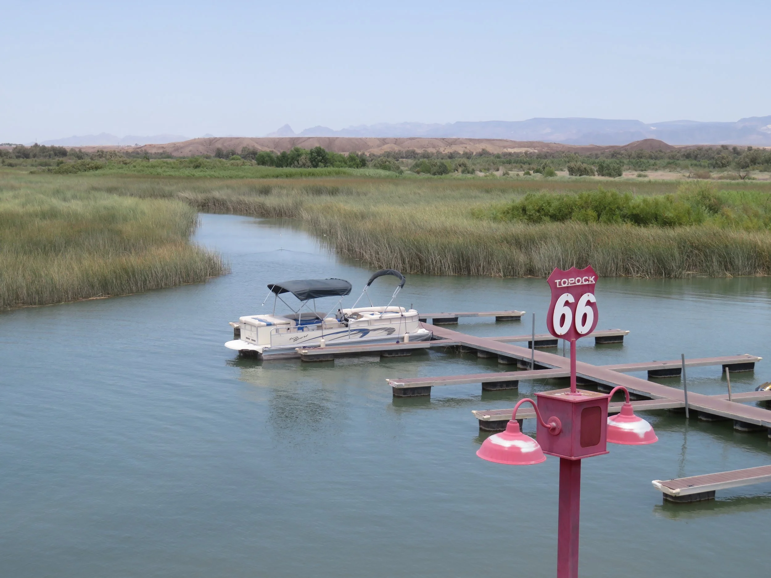
From Oatman, we headed towards Topock, the last stop in Arizona. This leg of the route was virgin territory for us. We followed US-66 through brown, arid desert scape to Topock, located on an inlet off the Colorado River. The ‘resort’ was busy with boaters and bathers looking to cool off in the triple digit heat.
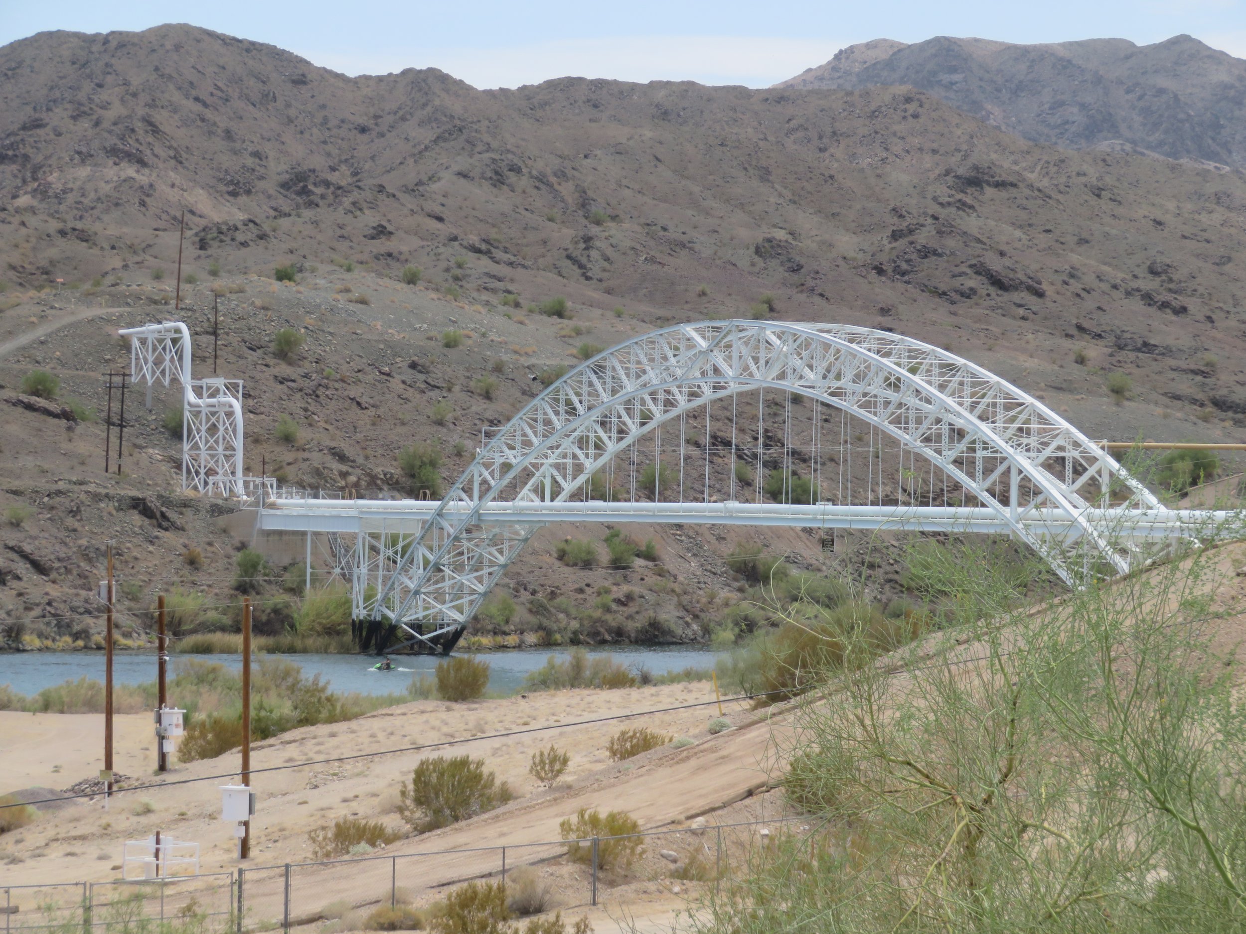
Though the Trails Arch Bridge is no longer a vehicular bridge, this 800’ foot long steel arch bridge originally carried traffic across the Colorado River from 1916 to 1948. It now carries a natural gas pipeline, and is listed on the National Register of Historic Places.
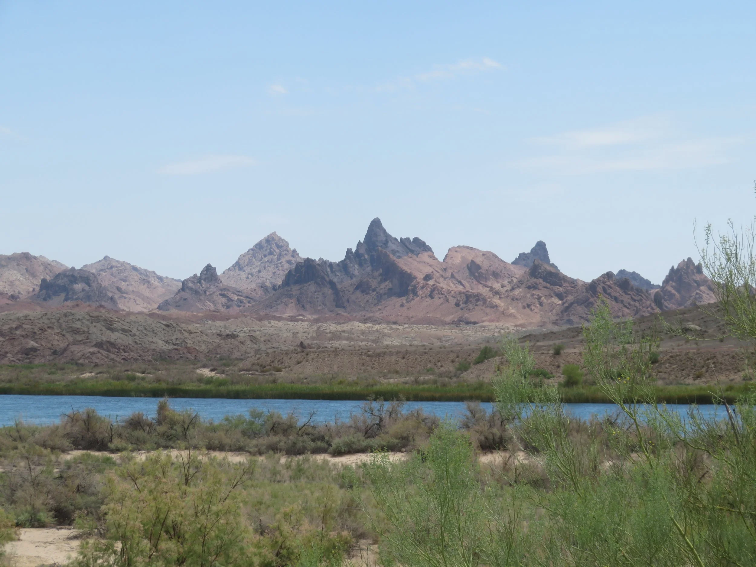
Route 66 rejoined US-40 for a couple of miles to cross the Colorado River, the boundary between Arizona and California. Route 66 found itself again at the Five Mile Road exit. We caught sight of the sharp pinnacles of the Mohave Mountains for which Needles is named.
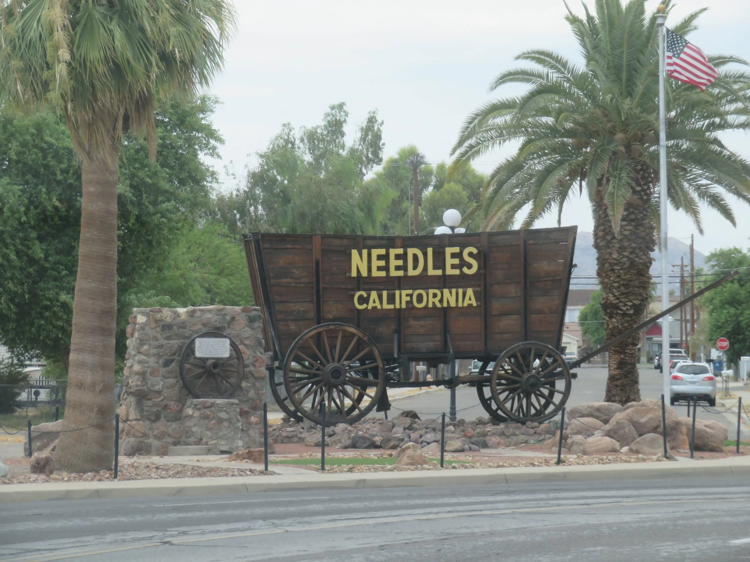
Our first stop in California … Needles! Join us next time as we being the 315-mile leg of California Route 66.