

U S 6 – A Lonely Blue Highway – Part 1 - Sierra Nevadas to Ely, Nevada
/“Route 6 runs uncertainly from nowhere to nowhere, scarcely to be followed from one end to the other, except by some devoted eccentric.”
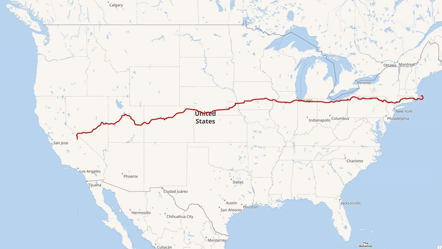
US-6 meanders its way east-west across the country traveling through 14 states.
“ Devoted eccentrics”… that’s us! We’re not new to ‘Blue Highways’. We’ve driven US-2, ‘Where the Rails Meet the Sails’, west to east from Everett, Washington, to Houlton, Maine. We’ve traveled the length of US-70 east to west from Atlantic, North Carolina, to Globe, Arizona. We picked up US-93 in Wickenburg, Arizona, and followed it to Las Vegas, then picked it up again on a later trip to drive the rest of the highway to the Canadian border in Roosville, Montana.
If you’ll remember from our previous blogs, ‘blue highway’ is a term first coined in 1979 by William Least Heat-Moon in his book ‘Blue Highways: A Journey into America’. He used the term ‘blue highway’ because secondary highways on the old paper road maps were always printed in blue. These secondary roads ply their way through small towns with long stretches of nothingness… unless you enjoy the feeling of being on less-traveled roads and getting a broad glimpse of America. And we do!
So… back to US-6.
We’ll be doing this Blue Highway in sections, and the first segment from Bishop, California, to Ely, Nevada, was completed in September this year after we visited the Eastern Sierras. Folks who have driven both US-50 and US-6, which run parallel to each other east-west in north central Nevada, have remarked that it’s ‘Lonelier than the Loneliest Road’, a reference to the article on US-50 through Nevada that Life magazine published in 1986, alluding to US-50’s remote and isolated stretches.
US-6’s path through Nevada has remained pretty much unchanged since 1937. It definitely seems more remote, emptier, lonelier, more isolated, and for sure far less trafficked than US 50, with long, long stretches between towns and services. In fact, there are only two towns, Tonopah and Ely, on the entire Nevada stretch that claim of population of over 100. We’ve driven US-50 and we’d agree that US-6 is the ‘lonelier’ of the two. Lonely or not, we picked it up again in eastern Nevada near Great Basin National Park and, weather permitting, we’ll continue on as we travel East for the holidays.
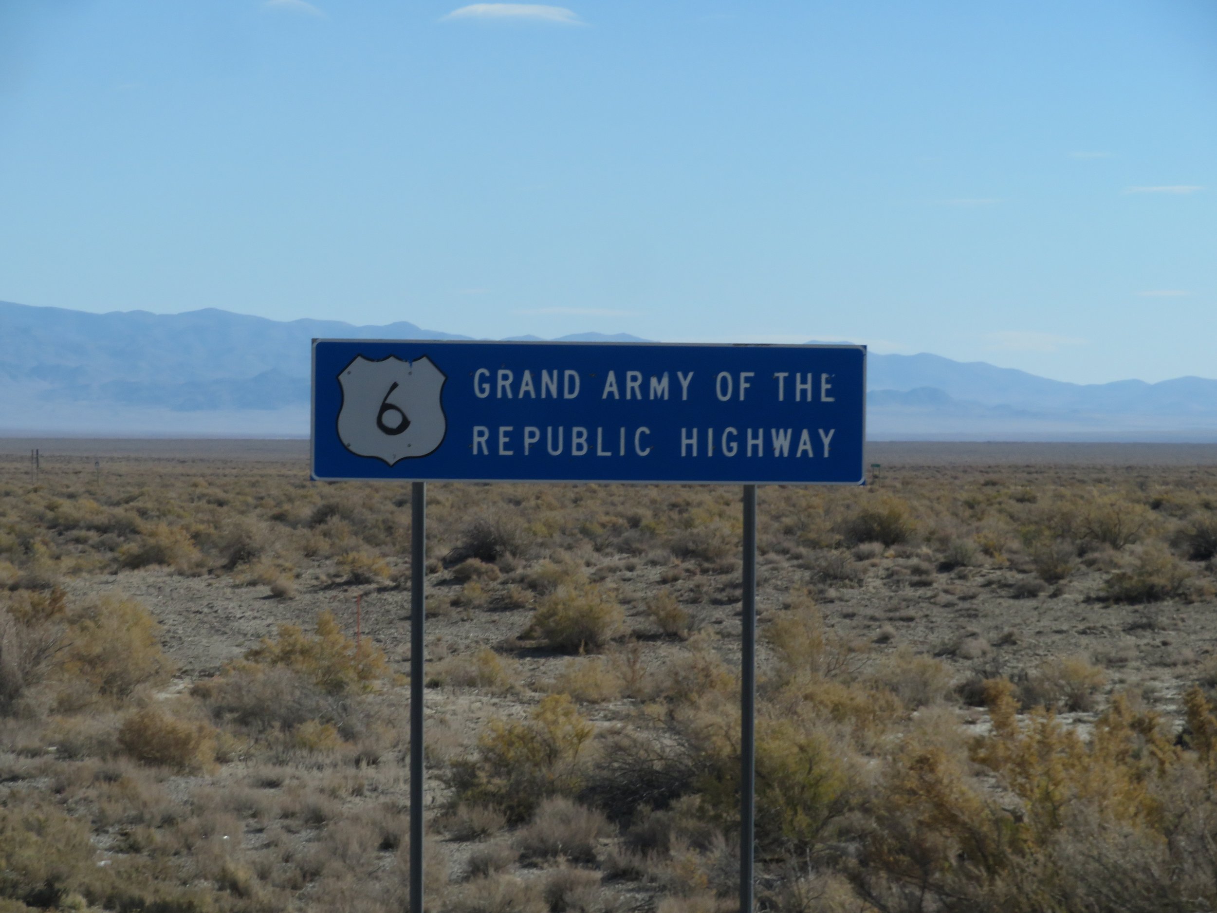
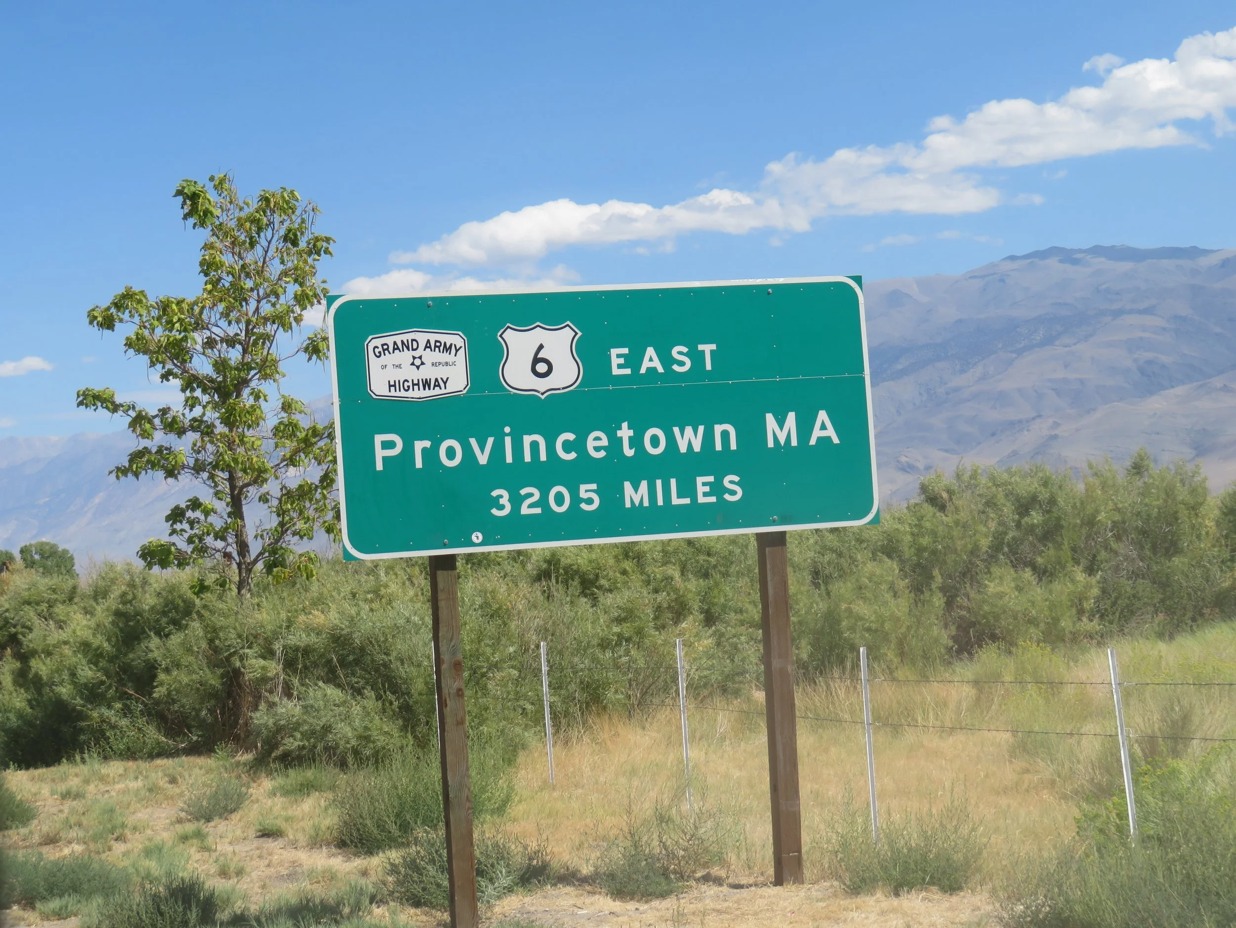
Also known as the Grand Army of the Republic Highway, honoring American Civil War Veterans, this historic transcontinental highway is a diagonal route that’s been largely modified over the years. It’s the oldest, longest, and highest of the ‘old’ roads. It is 3,205 miles long, with a high point of 11,990 feet (3,650 m) at Loveland Pass in Colorado. It runs from the Sierra Nevada Mountains in Bishop, California, through 14 states to Provincetown at the very tip of Cape Cod, Massachusetts. In case you were wondering: 14 states are CA-NV-UT-CO-NE-IA-IL-IN-OH-PA-NY-CT-RI-MA
We had help planning our trip. The US Route 6 Tourist Association provides some information though a bit outdated. The website Getaway Mavens was also a good source of information and provided a guide to things to look for along the way.
Other than the ‘END US-6’ and the ‘Bishop to Provincetown’ signs, there wasn’t much to see on US-6 in California. The highway used to extend all the way to Long Beach, California, making it the longest transcontinental highway in the United States. When the state renumbered highways in 1964, California shortened the route to its current terminus in Bishop, with the former route from Bishop to Long Beach being replaced by segments of other existing highways.
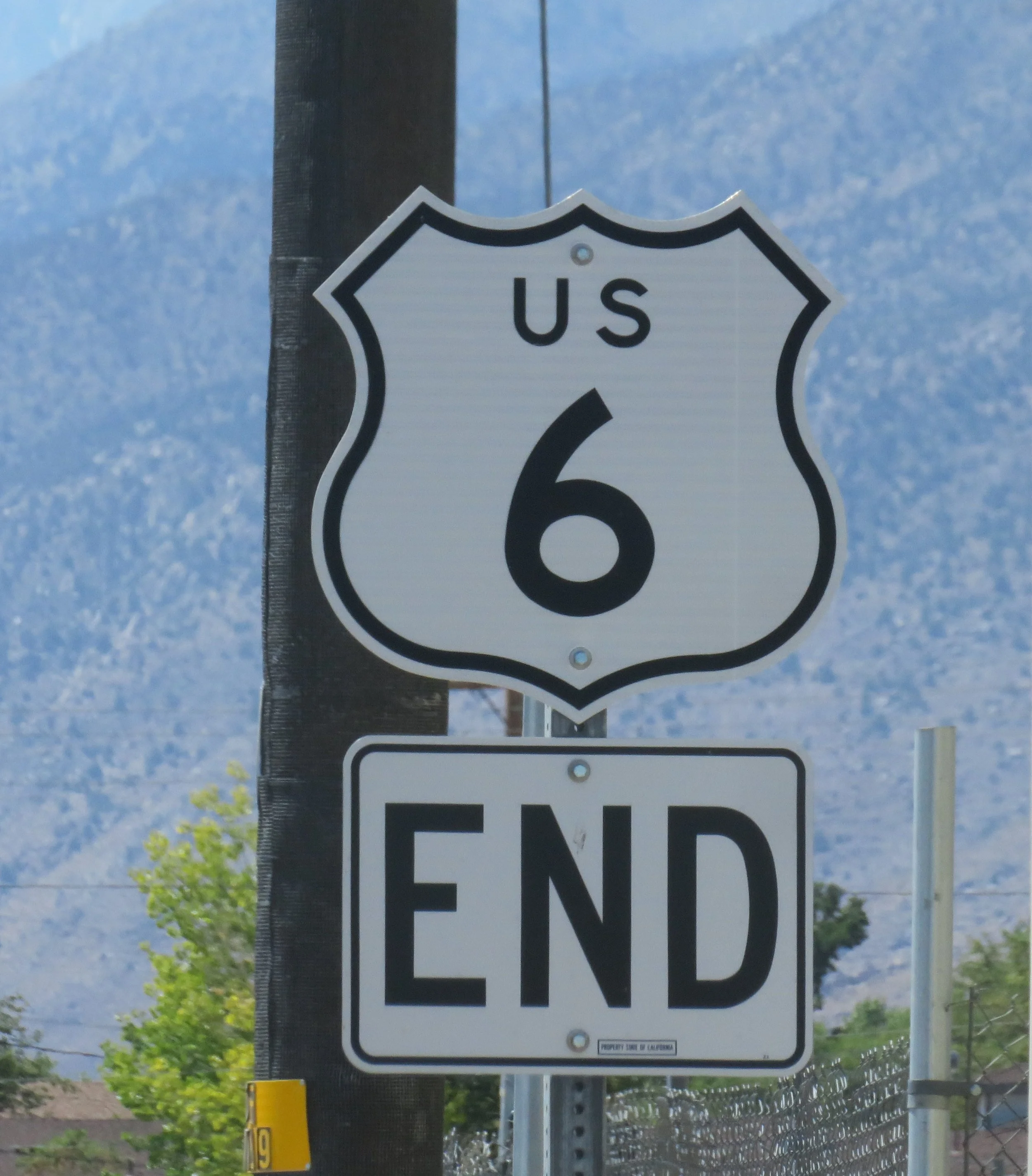
Other than the ‘END US-6’ and the ‘Bishop to Provincetown’ signs, there wasn’t much to see on US-6 in California.
It was only 40 miles (65 km) east to the Nevada state line, where endless high desert met distant mountains.
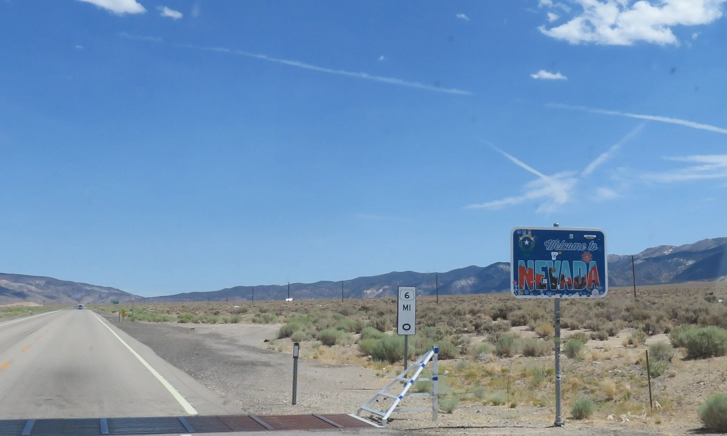
Welcome to Nevada
We climbed pass after pass on the fringes of the Great Basin. Traffic was almost non-existent. We spotted wild horses slowly plodding across the desert land. A few cattle grazed on the sparse foliage of the open range.
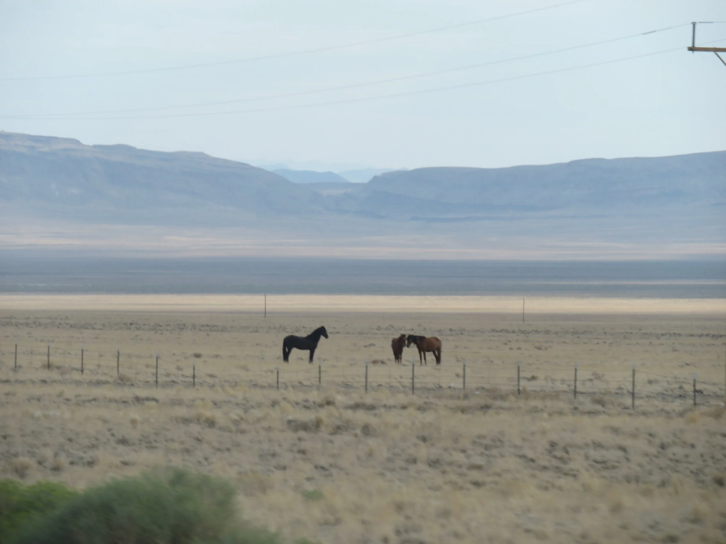
Wild horses along this lonely route.
We stopped in Tonopah, Queen of the Silver Camps, for a night and explored this little mining town which had quite a bit to see. We visited the little museum at The Clown Motel touted asAmerica’s Scariest Motel”, meandered through the old cemetery next door, and wandered the downtown streets to get a feel of the place.
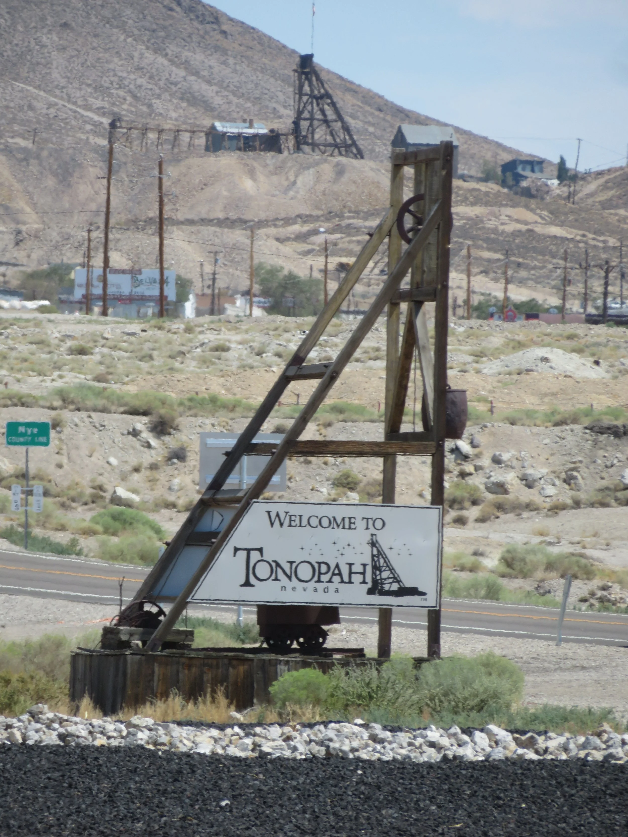
Tonopah is one of only two towns with a population of 100+ on US-6 in Nevada.
Back on US-6, we took a 6-mile brain-jolting, tooth-loosening side trip to visit the Lunar Crater National Natural Landmark. It was worth the trip, but too windy and desolate to spend an overnight there, so we continued on for ~100 miles and camped at Ward Mountain Campground just outside Ely.
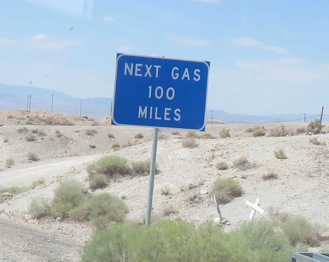
services are few and far between on US-6 in Nevada
Back in September, we left US-6 at Ely, to head south back home, planning to resume our US-6 adventure in November and now we headed back, ready to continue the trip. We arrived in Ely late in the afternoon, gassed up and spent the night at the Silver Sage Travel Center ready to head out in the morning. We nearly missed the Silver Sage Travel Center. It’s a Chevron station/convenience store and marijuana dispensary that allows overnight parking in their large gravel parking lot. The people are friendly and the clean, well-stocked restrooms are open 0430-2300.
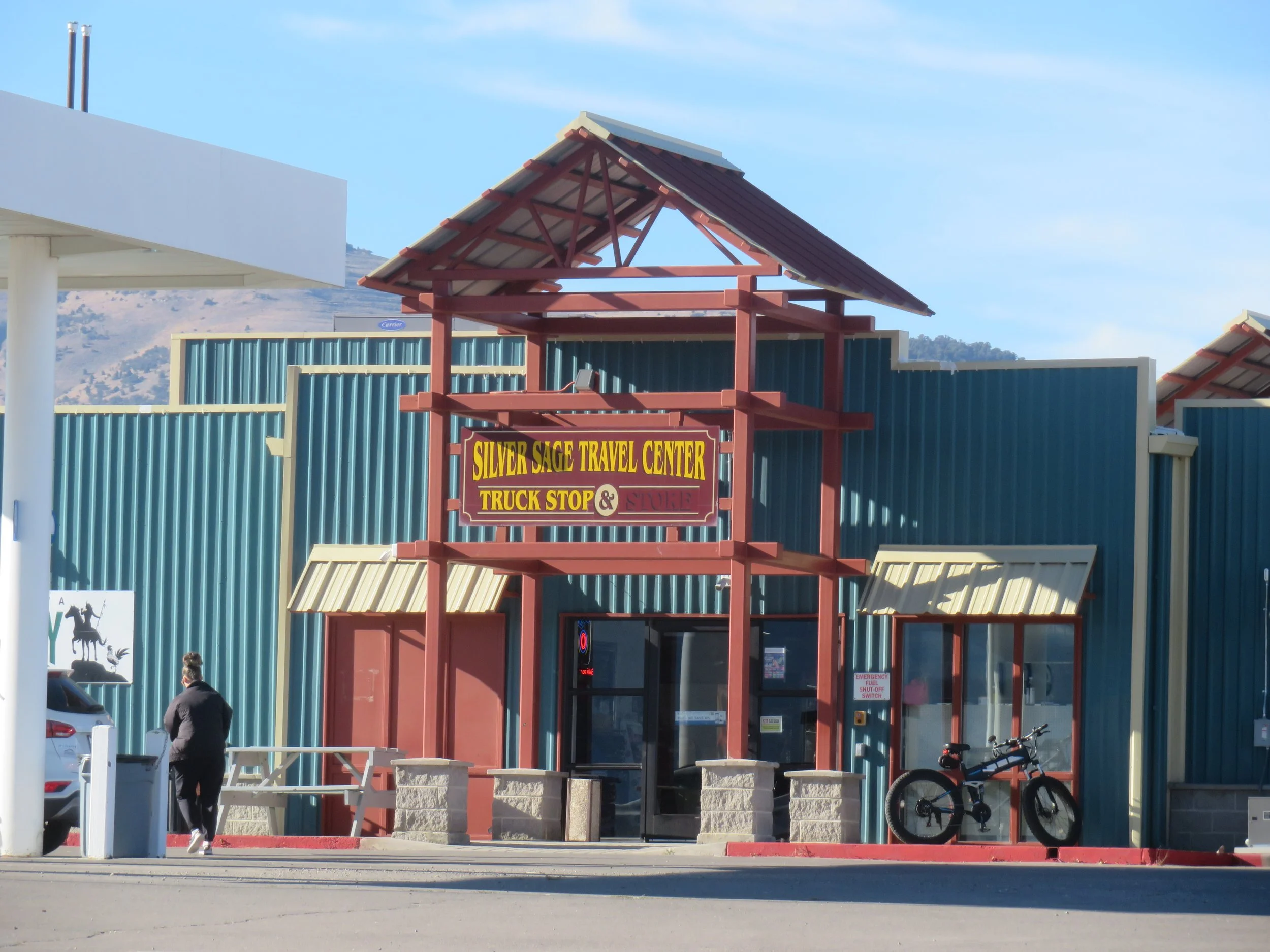
The Silver Sage Travel Center
US-6 from Bishop to the Nevada state line is 40 miles. The California border to Ely is ~243 miles. Only 2,922 miles to go.
Join us next time as we head across the Nevada state line into Utah and across the Rockies into Colorado. Click here for US-6 Part 2.